Trail Overview
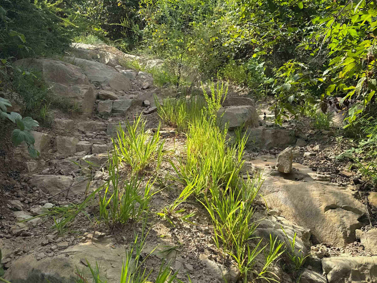
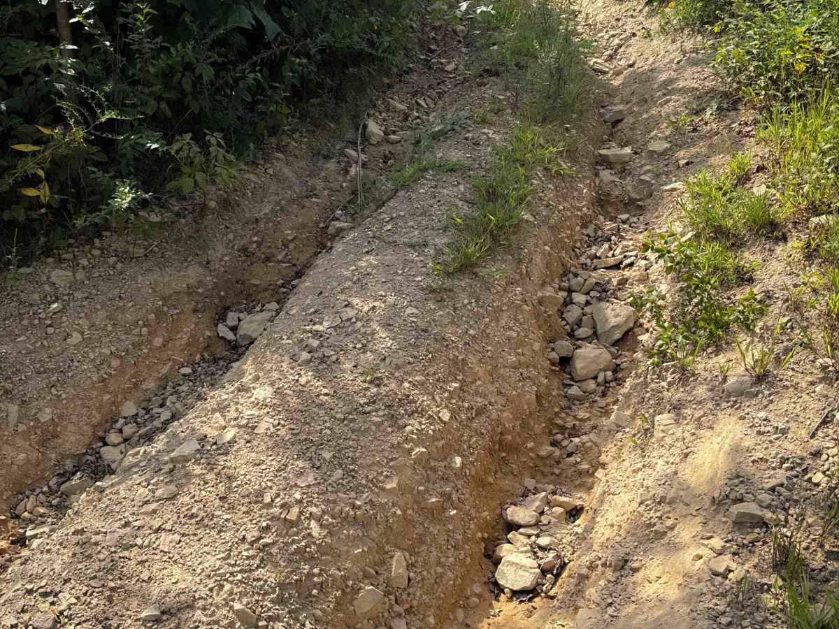
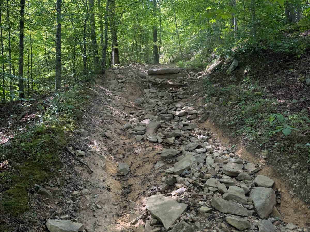
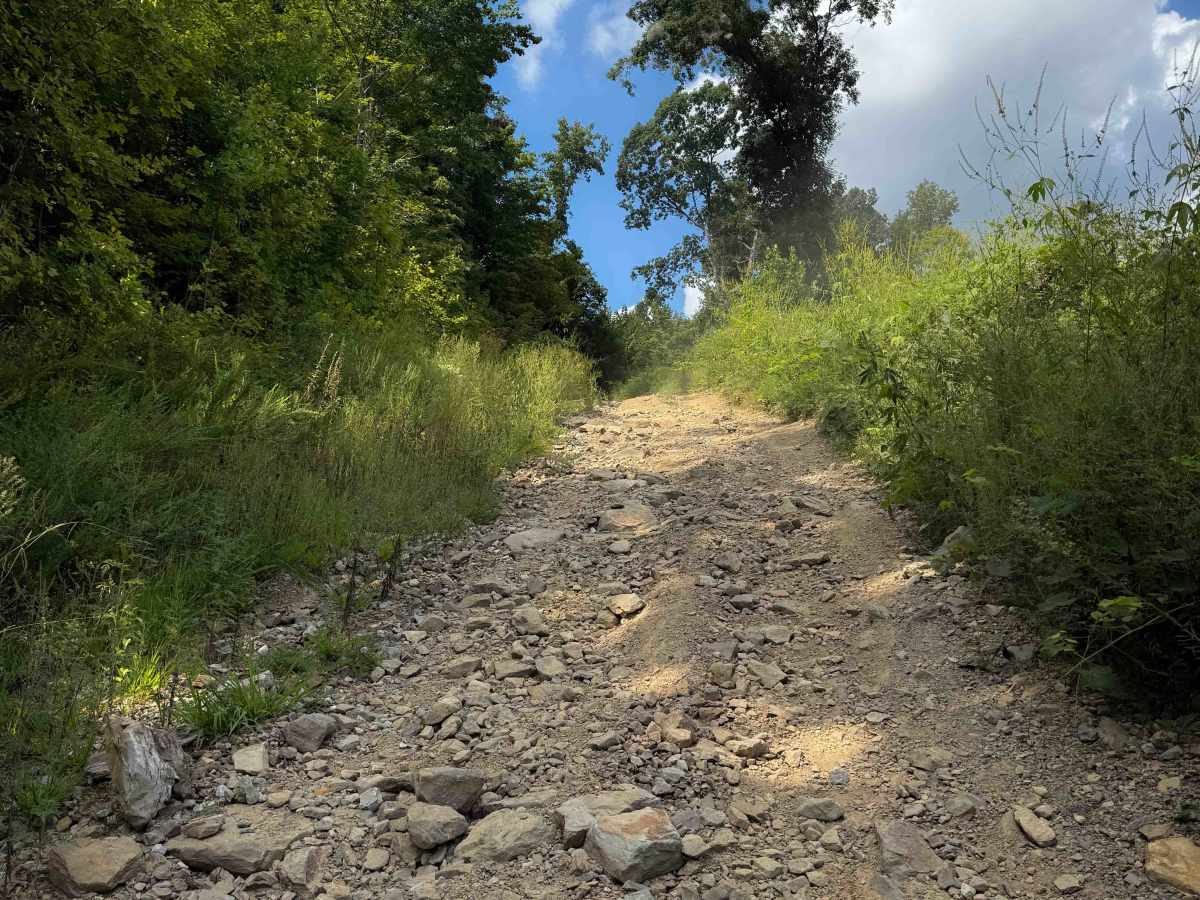
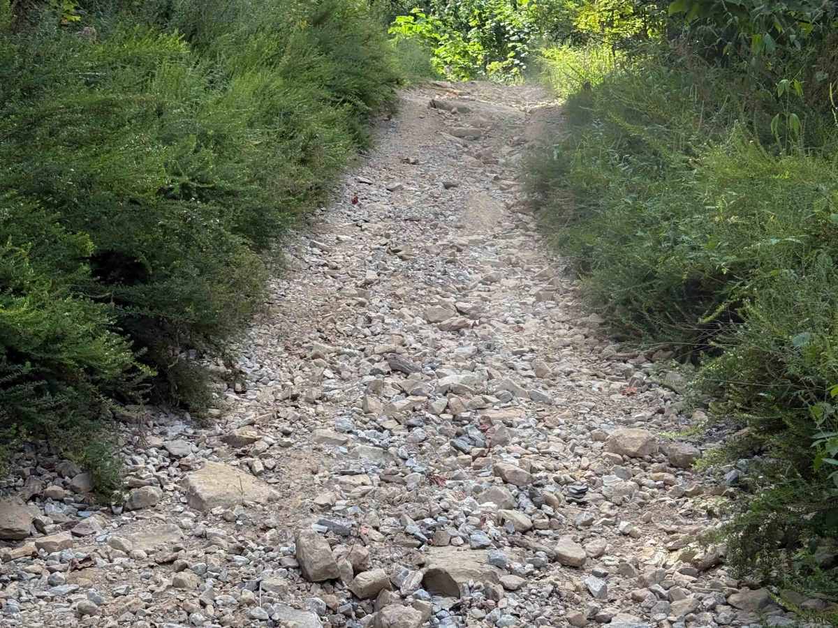
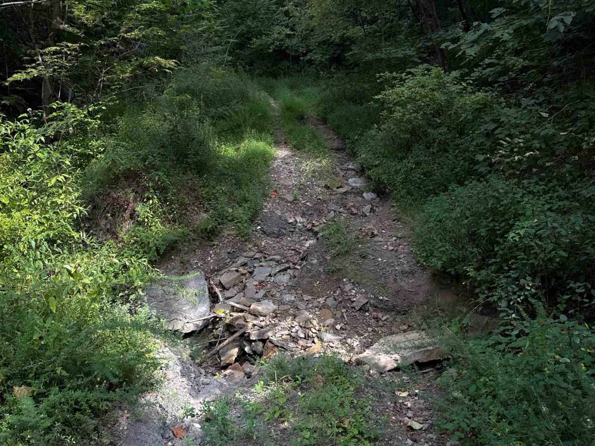
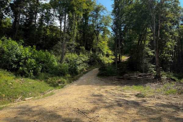
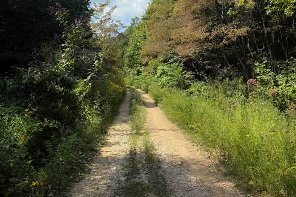
Shack Creek Connector is a more difficult OHV trail within the North Cumberland OHV Riding Area. The north end starts off with a steep descent over small, loose rocks on a single-lane dirt path. It stays right at the intersection with Shack Creek Road, which looks like the main route, but this trail turns onto a more primitive route with overgrown grass that is unmarked and will be easy to miss. After the intersection, it mellows out and becomes flatter, but there is a steep V-bottom ravine crossing that is washed out and full of loose rocks that will be a more difficult obstacle. It starts descending again after 1.5 miles, down a really steep slope with several embedded rock ledges that are extremely rutted out, and the trail becomes very narrow and overgrown. This will be very difficult to do in the uphill direction, and it is better to ride it downhill only, from north to south. The trail looks very infrequently ridden – it’s tight and overgrown, with brambles and branches that grab you as you pass. As you keep descending, there are several more advanced sections with embedded rock ledges and off-camber slopes. There’s a shallow stream crossing at the south end of the trail before it connects to Smokey Creek Road.
Difficulty
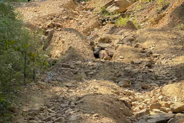
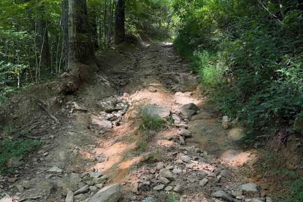
This is an advanced route due to extremely steep grades that are extremely rutted out. It is primitive, unmaintained, and overgrown, best ridden downhill from north to south. There are several off-camber sections with rock ledges and lots of loose rock that will test your traction during the descent.