Trail Overview
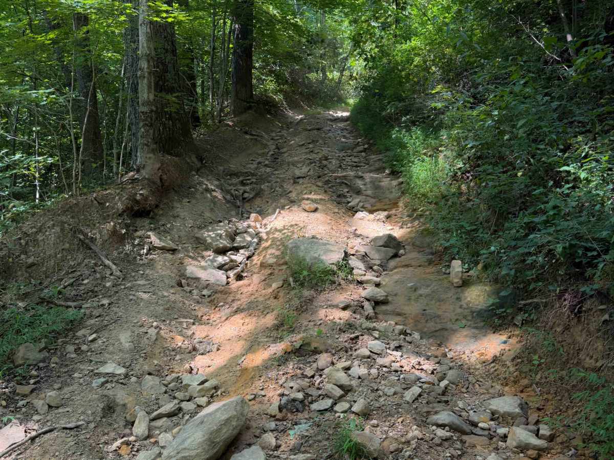
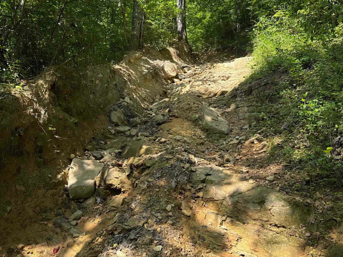
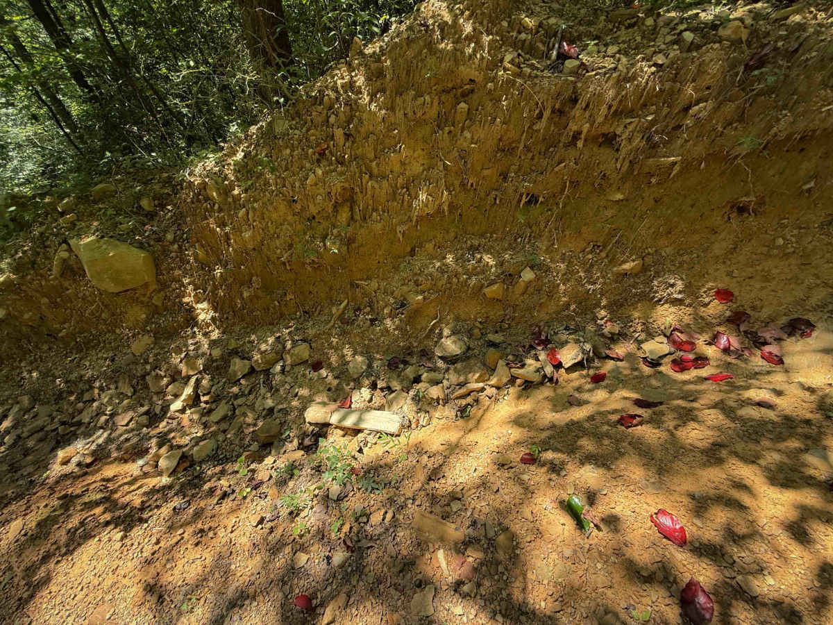
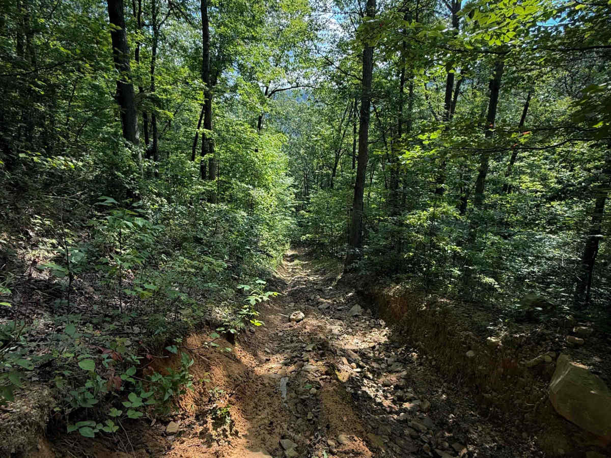
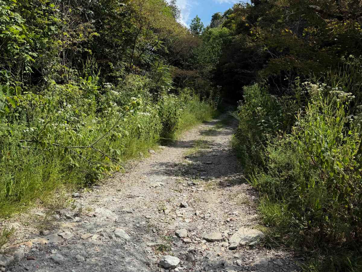
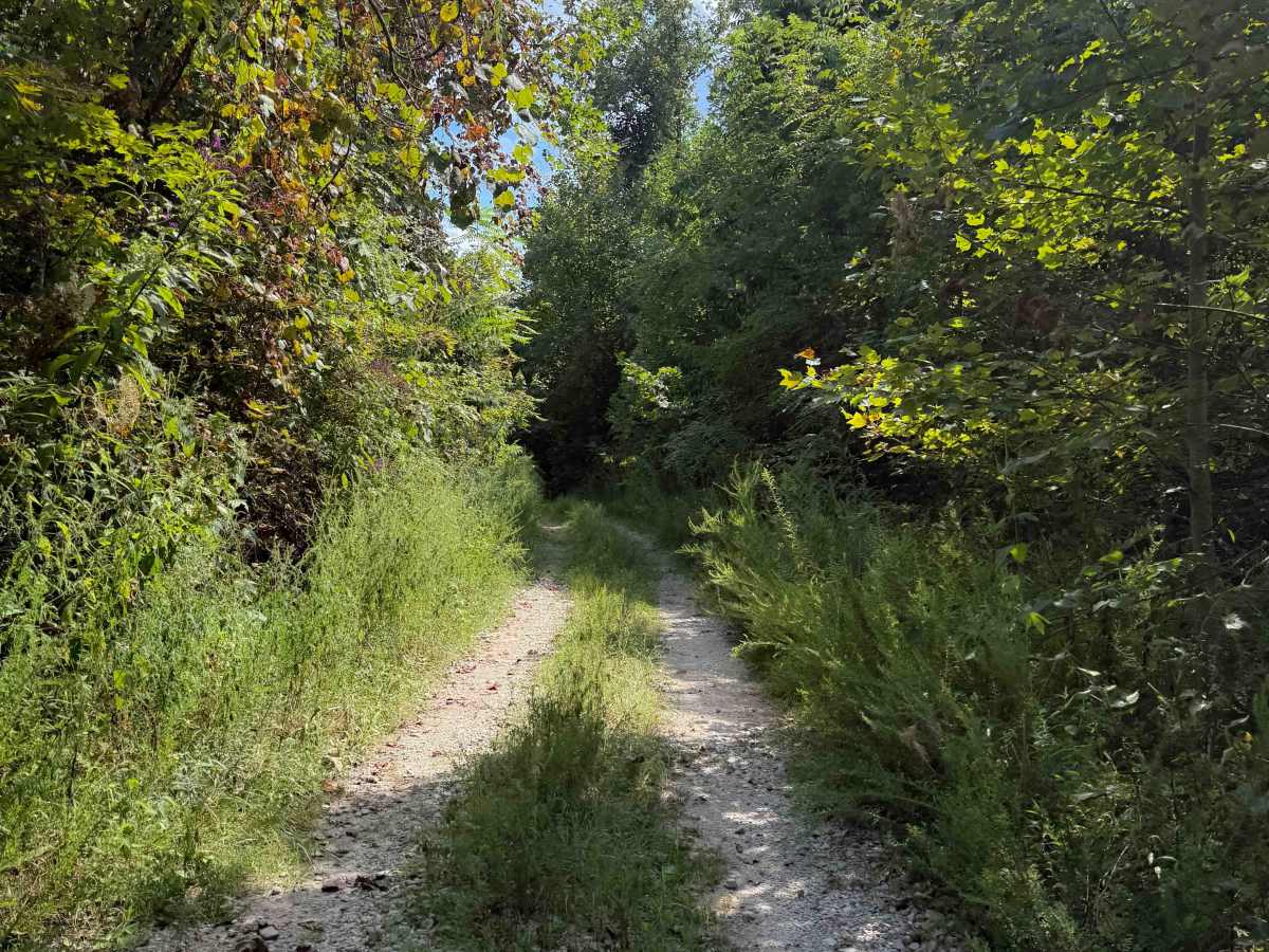
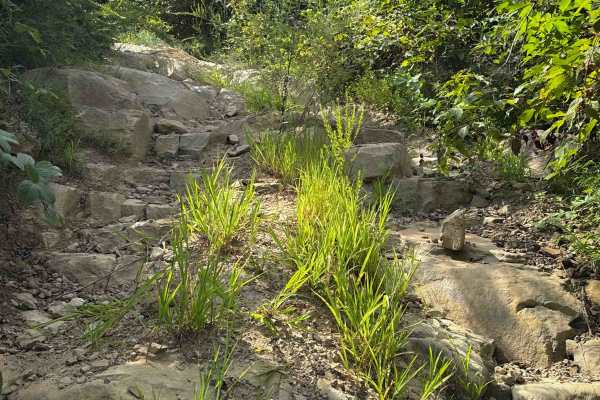
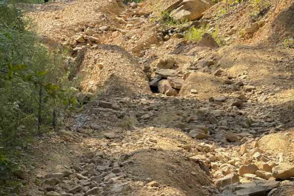
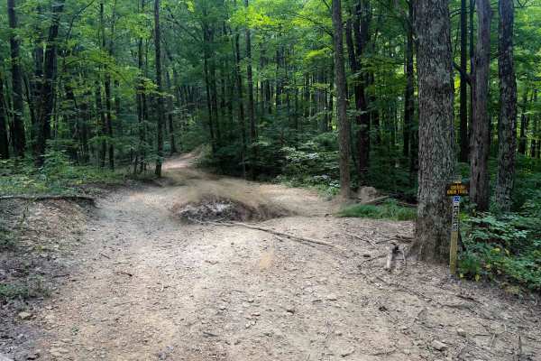
Dry Creek Trail is a more difficult OHV trail within the North Cumberland OHV Riding Area. The trail mostly descends from north to south, losing over 1,200 feet of elevation over 2 miles, making it rather steep. The descent is full of loose, round rolling rocks that ping you around, with ruts and embedded rock layers. The trail becomes more rutted throughout the descent, deeply trenched out below the forest floor, with uneven troughs running down both sides of the trail. There are embedded rocks within the descent that form small drop-offs. After about 1.3 miles, the descent mellows out, and it starts to ride on a wider path next to some utility buildings for the power lines. This last portion of trail is more gradual, with small loose rocks and shallow ruts. It ends on Shack’s Creek Road, which goes east to the town of Hembree.
Difficulty
This is a more advanced OHV trail due to a very rocky and steep hill that you will go down from north to south. It is very steep, with deep ruts, rock ledges, and a layer of loose rock. It is also dug out and troughed, giving it a limited width. The southern half of the trail is easier and more gradual.