Trail Overview
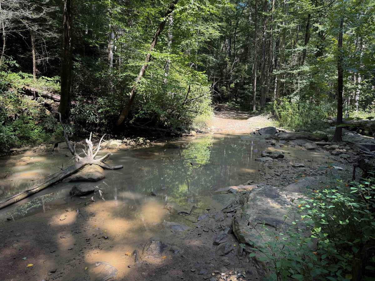
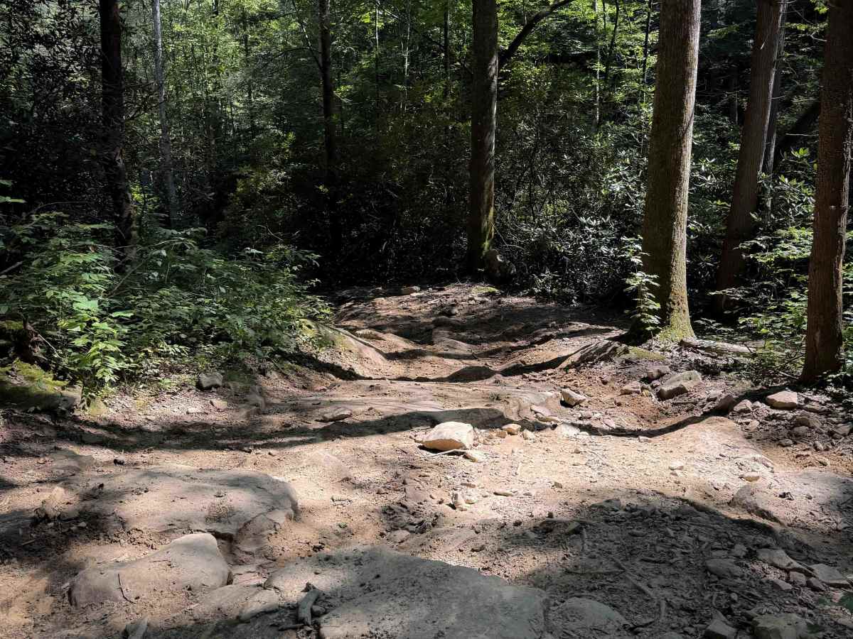
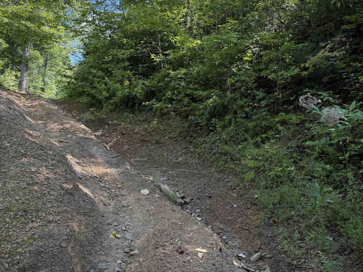
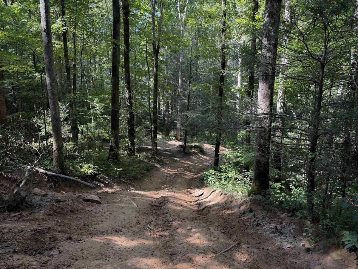
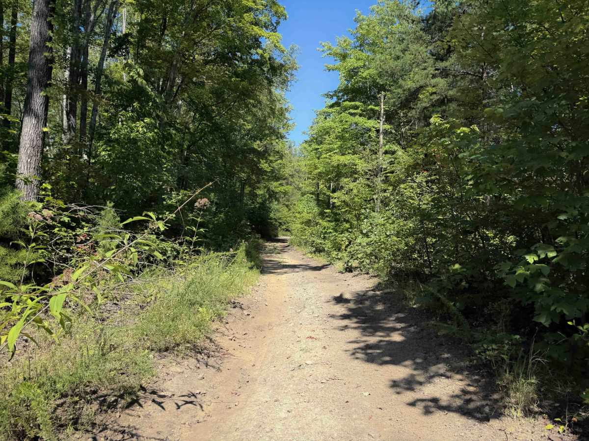
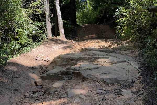
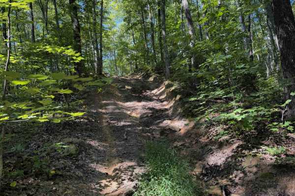
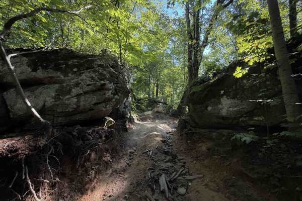
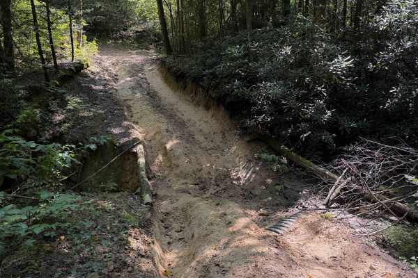
The Pond Ridge Trail within the Sundquist Unit of the North Cumberland Off- Highway Vehicle Riding Area is 4 miles long, with several fun intermediate rock and root features. The east entrance starts with a shallow water crossing through the Jim Branch Creek, over slippery rocks. After you exit the creek, there are more boulders, roots, muddy ruts, and troughed-out sections. Expect short rock ledges, some tighter hairpin turns, and shelf road sections. The mud puddles often span the entire width of the trail. Drivers have to ride over uneven ground, with big humps and dips, and ruts down the side of the trail. It rides along the hillside, through a lush forest of eastern white pine and maples. The trail is a mix of wider sections that have more sun on the hilltops, and shadier, narrower sections that are more socked into the trees.
Difficulty
This trail has sections with small loose rocks, deep ruts, and bigger rock layers and short ledges. Expect slick or impassable conditions when wet due to the clay consistency of the trail.