Trail Overview
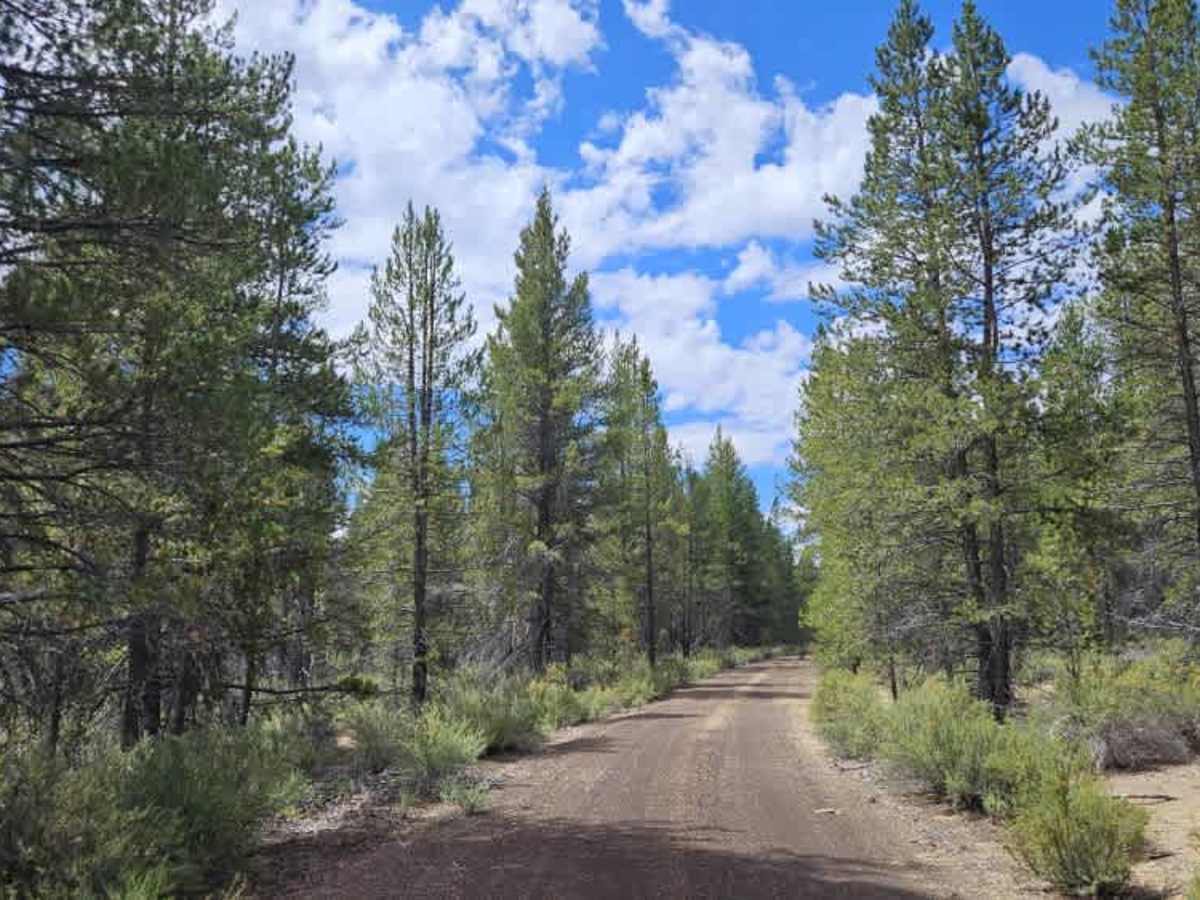
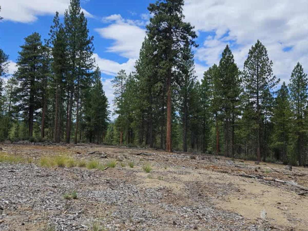
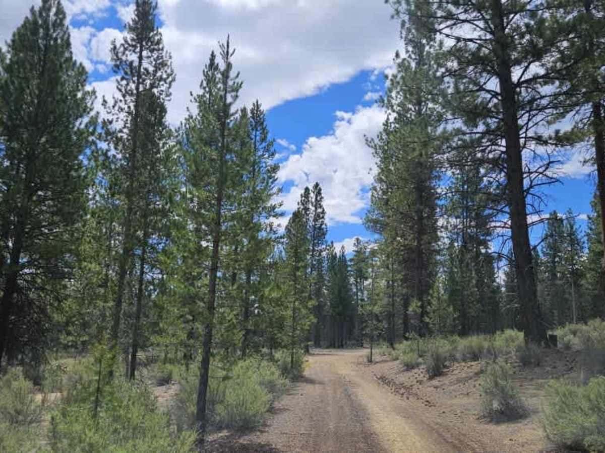
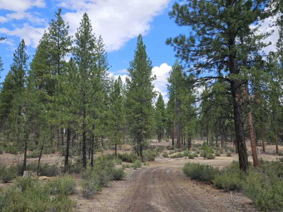
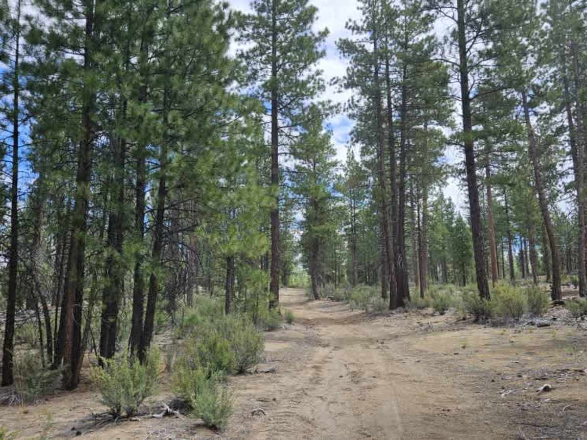
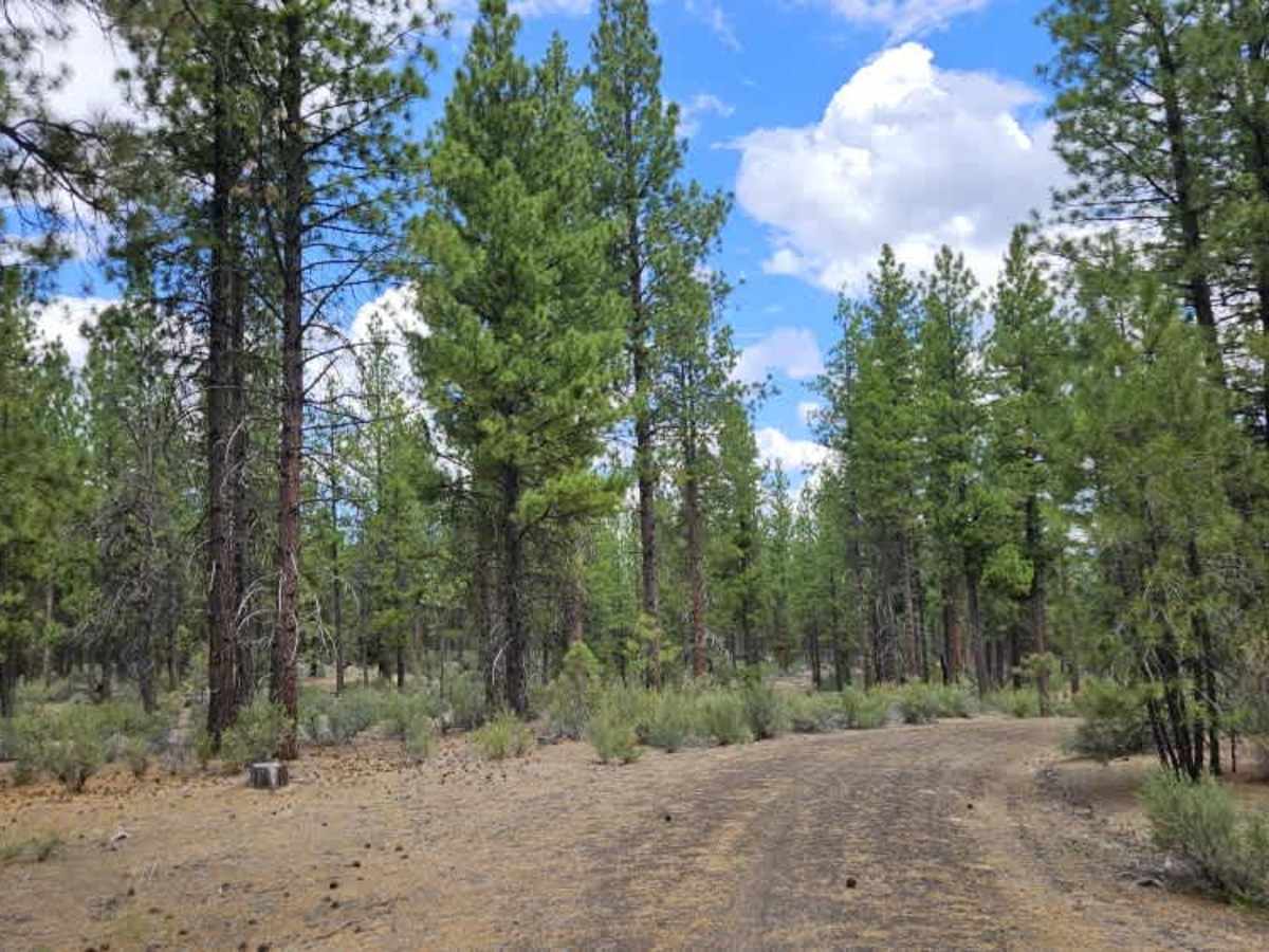
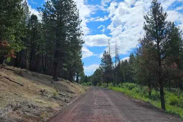
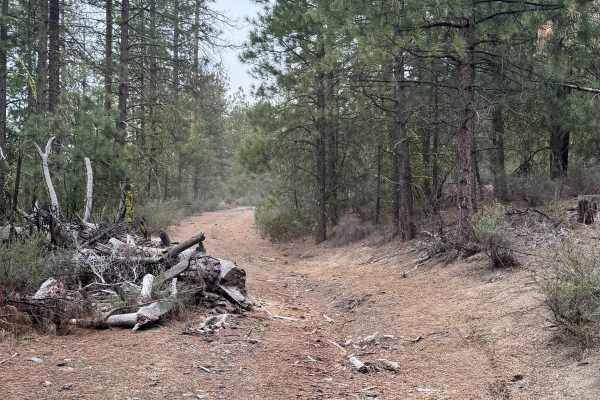
This trail begins from the main arterial gravel road and follows a user-maintained route through a quiet forest. Although it receives relatively little traffic, the trail remains easy to follow as it winds across a soft surface of pine needles, silt, and dark gravel left behind from the area’s logging history. The route gently climbs a hill before descending again, creating an enjoyable drive through mature forest. In places, the trail becomes faint, so it’s advisable to follow the route carefully to stay on the correct path. Several downed trees may be encountered along the trail, so carrying a chainsaw or suitable clearing equipment is recommended. Numerous clearings from previous logging operations provide excellent dispersed camping opportunities, with old log storage areas offering plenty of space to park and set up camp. Several side trails also branch away from the main route, giving visitors additional opportunities to explore the surrounding forest. Overall, this is a scenic, peaceful trail that combines beautiful forest driving with a variety of camping and exploration opportunities. This route is subject to Seasonal Designation. Please check local regulations and current conditions before traveling.