Trail Overview
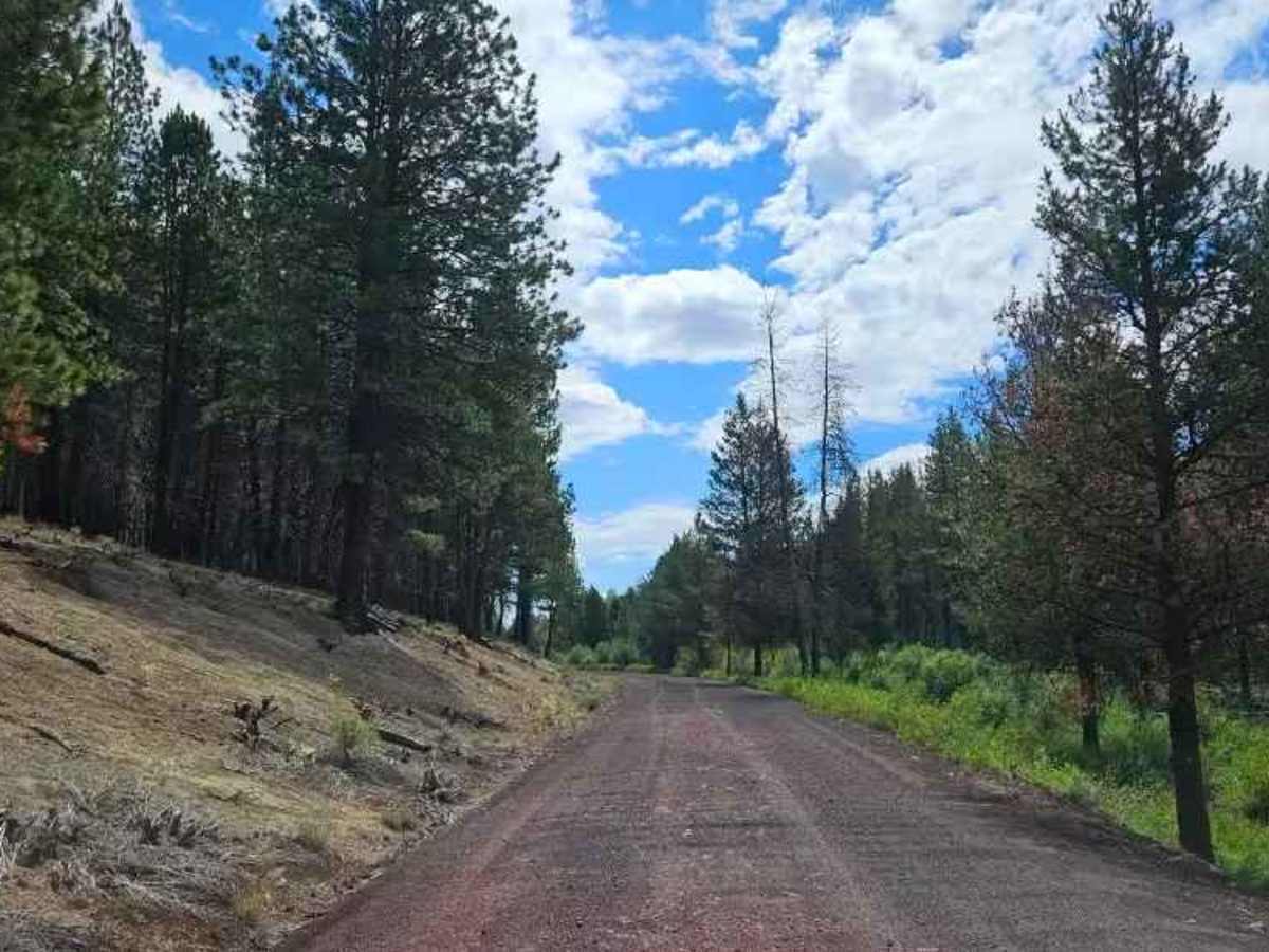
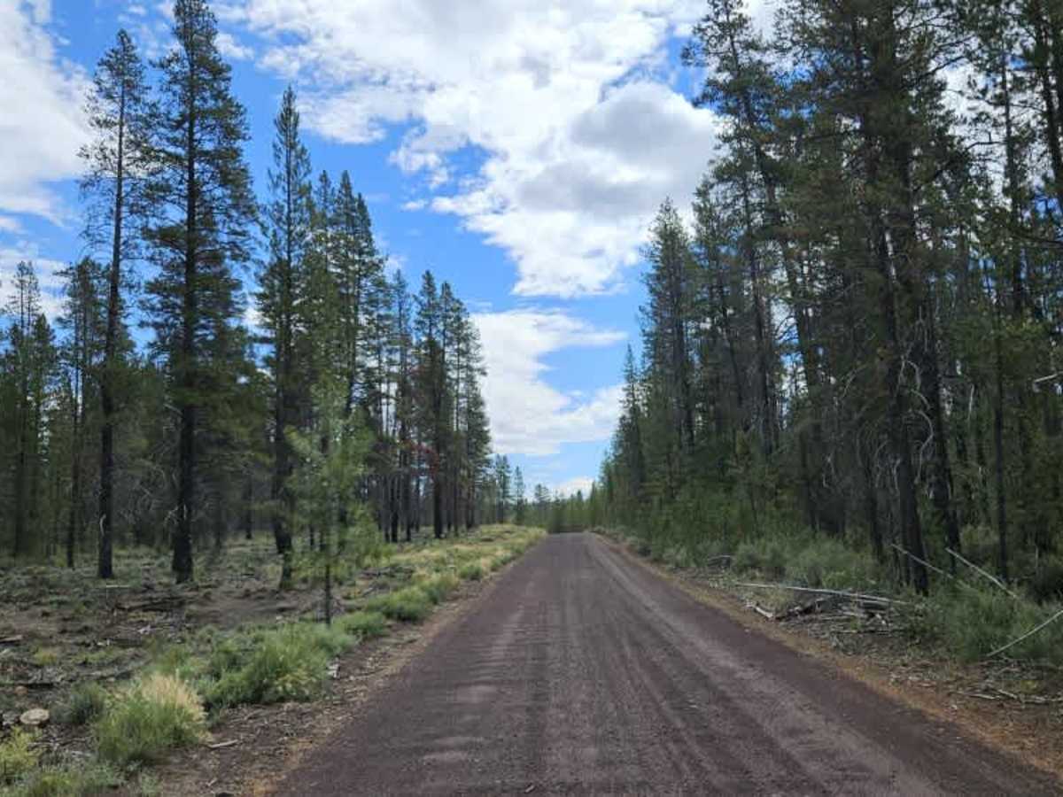
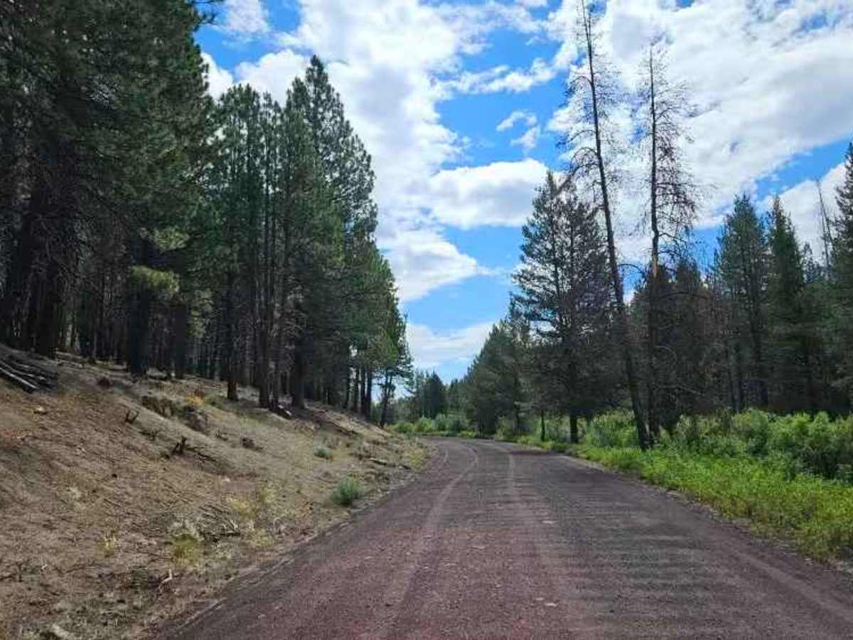
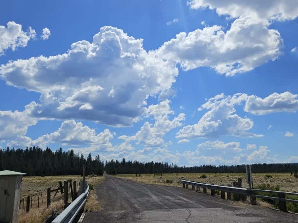
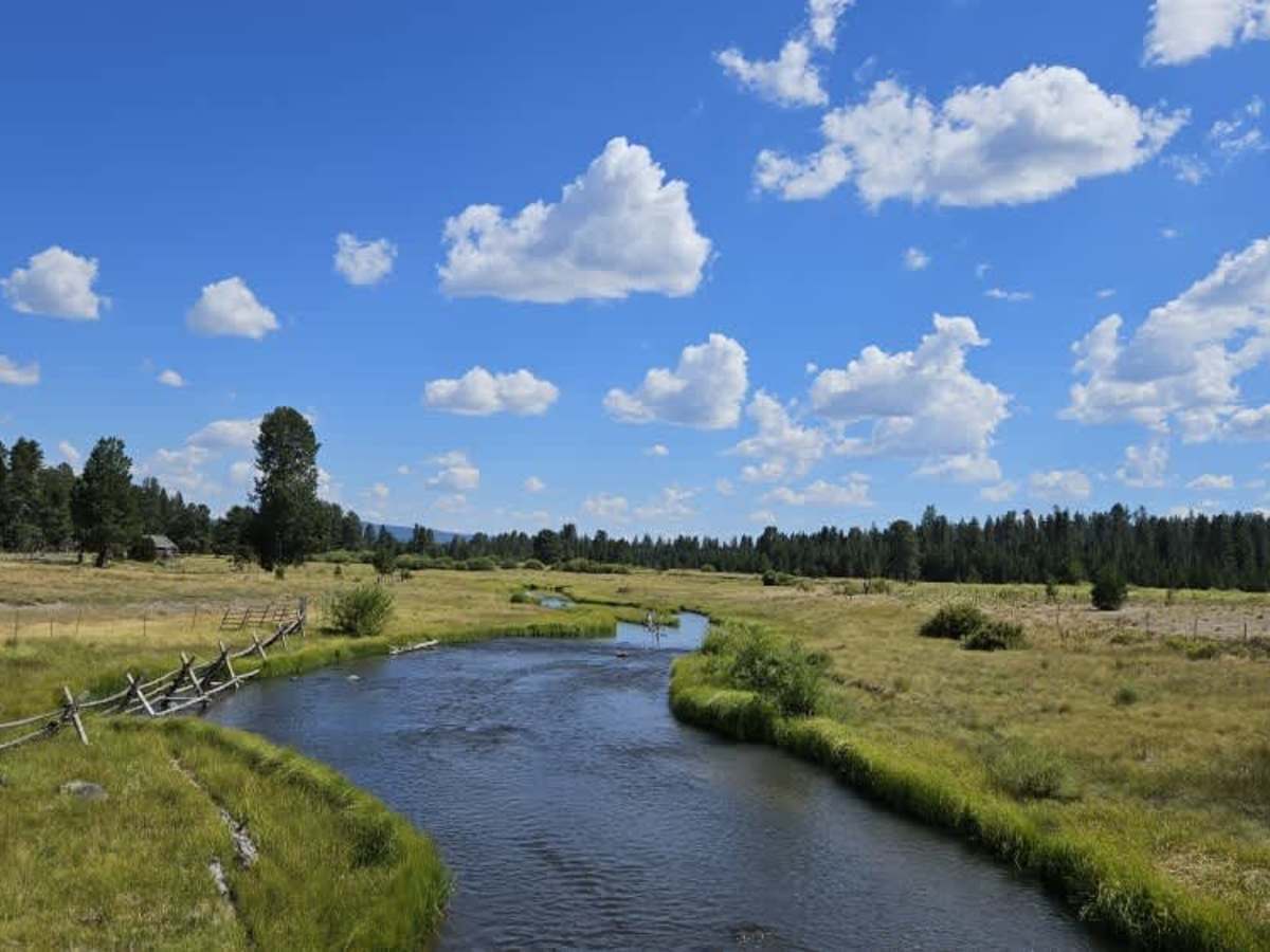
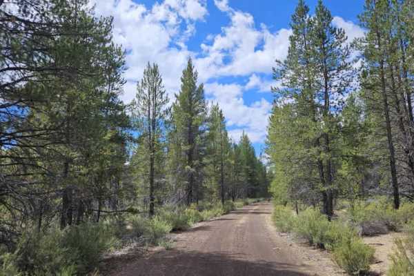
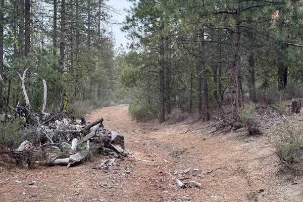
This well-maintained arterial road serves as the primary access route to a large network of trails, with numerous side roads and spur trails branching from the main corridor. The surface is generally in excellent condition, although the western portion has significant corrugation that can make travel uncomfortable, particularly when towing a trailer. The eastern section is much smoother before the corrugation begins again. A few potholes are also present, so moderate speeds are recommended. Several pull-offs provide opportunities for dispersed camping, although larger campsites are generally found along the side spur roads. Toward the eastern end, the trail crosses a beautiful river via a bridge before entering land associated with the Klamath Tribes. Public access is permitted on designated roads, but anyone wishing to leave the main route for backcountry recreation should obtain the appropriate permits or reservations from the tribe. This route is subject to Seasonal Designation. Please check local regulations and current conditions before traveling.