Trail Overview
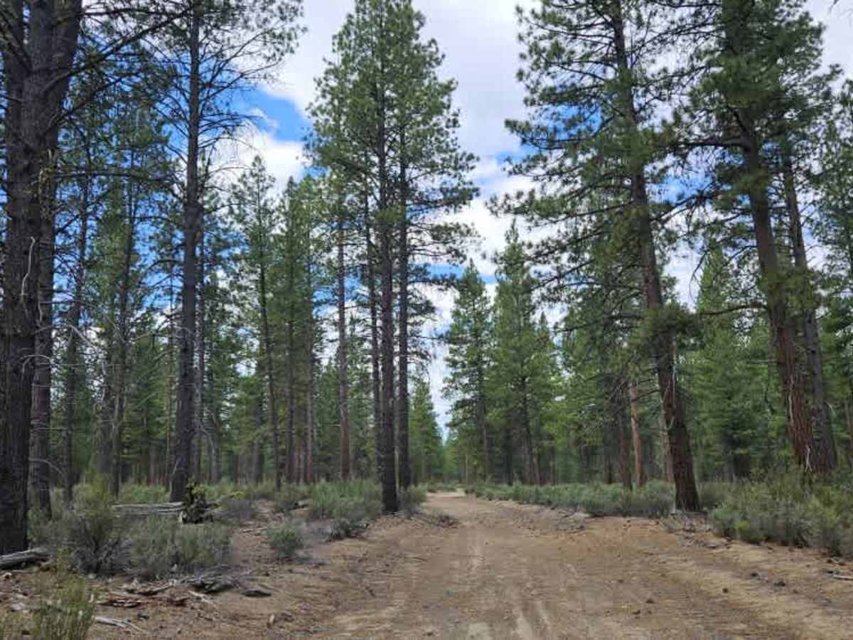
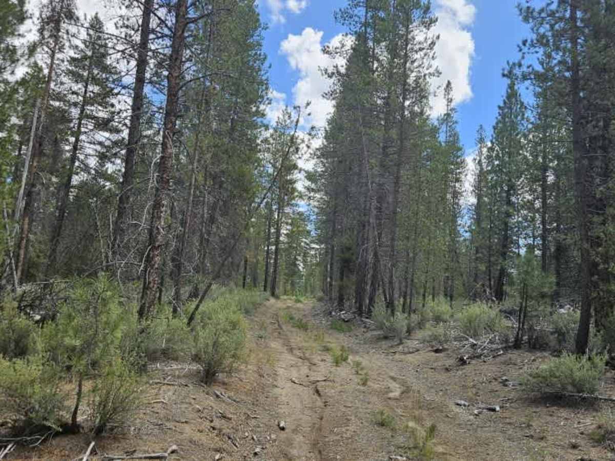
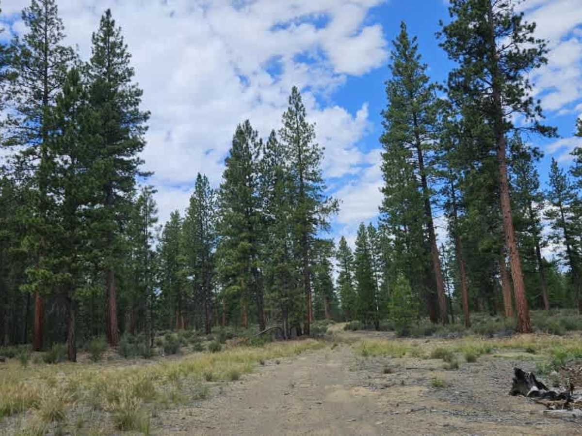
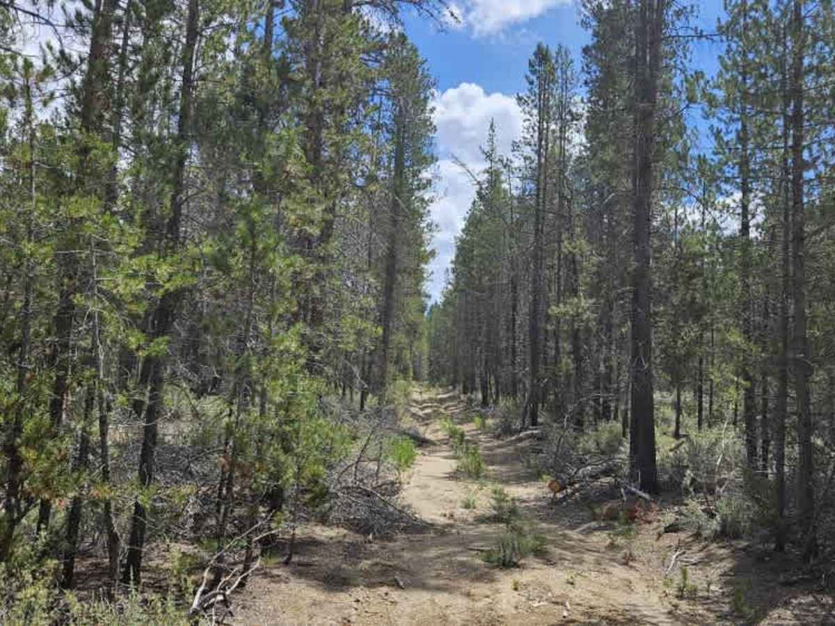
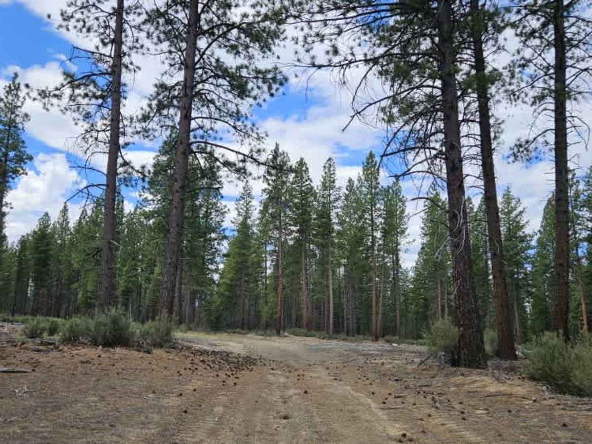
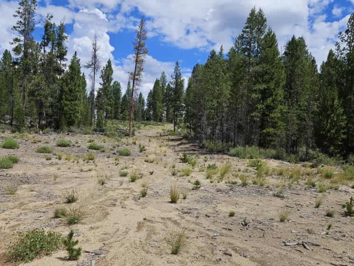
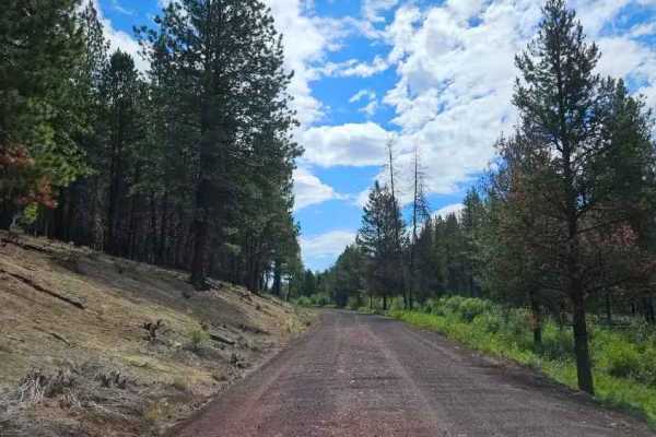
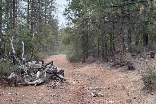
This trail begins as an easy user-maintained route with a soft silt surface and light undergrowth lining both sides of the road. Although it appears to receive relatively little traffic, it remains a pleasant drive through the forest with several suitable areas for dispersed camping and parking. The route is peaceful and scenic, making it an enjoyable option for those looking to explore a quieter section of the trail network. As the trail descends the hill toward its lower end, conditions become noticeably more challenging. Heavy rainfall has carved a natural drainage channel directly down the road, washing away much of the soft sandy surface and leaving deep erosion that continues to worsen over time. The thick sand crumbles easily beneath vehicle tires, making this lower section unsuitable during or immediately after wet weather. Extreme caution is advised when choosing a driving line through the eroded area. Beyond this point, the trail becomes increasingly overgrown before ending at approximately the one-mile mark, with no continuation.
This route is subject to Seasonal Designation. Please check local regulations and current conditions before traveling.