Trail Overview
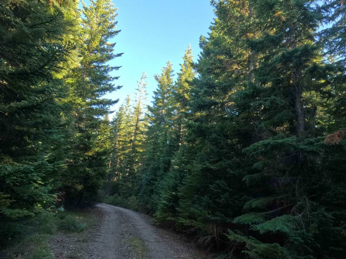
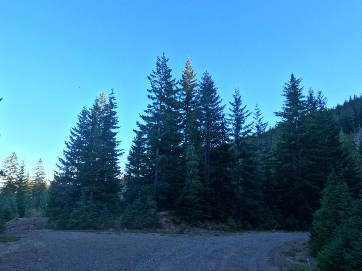
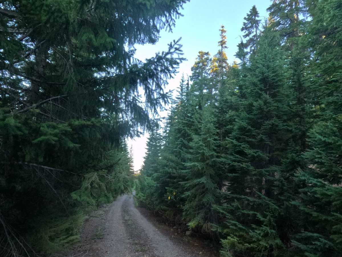
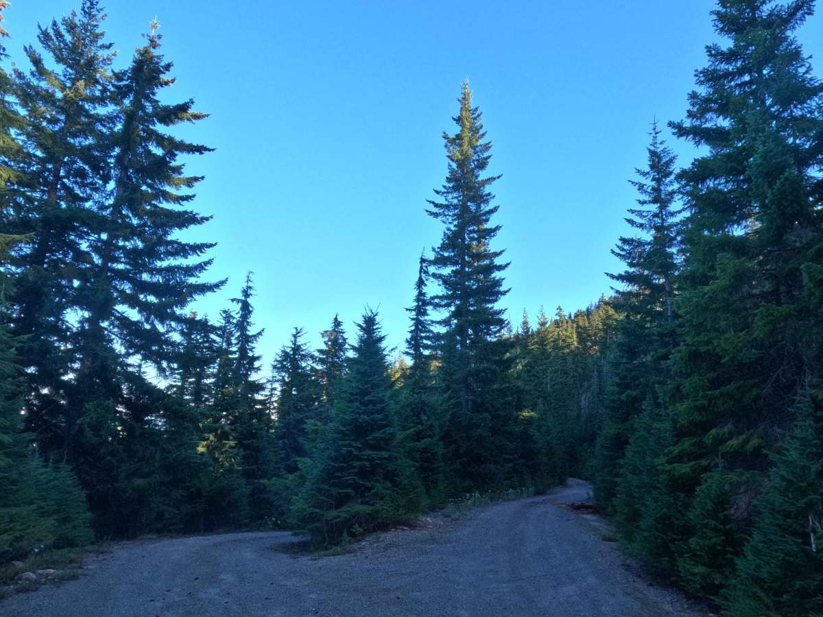
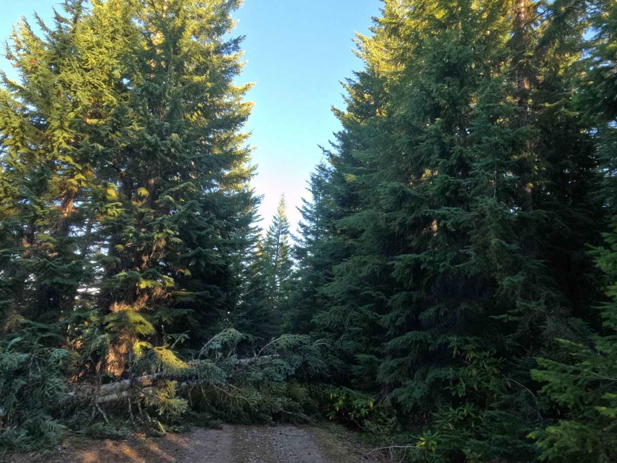
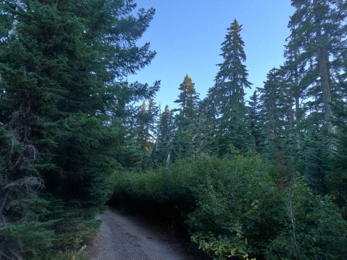
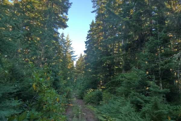
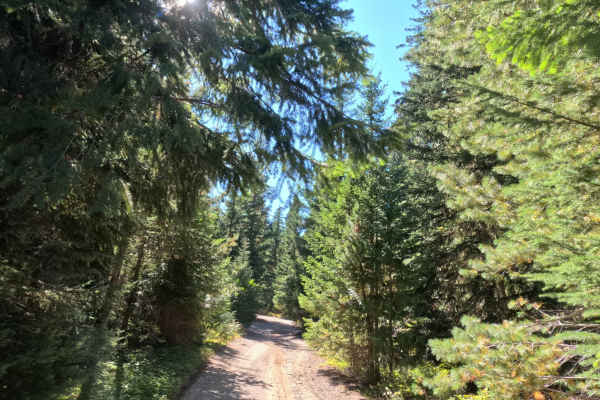
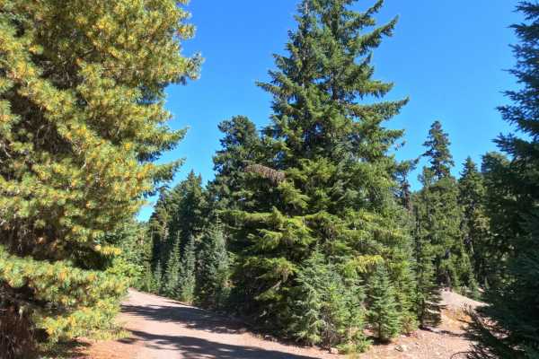
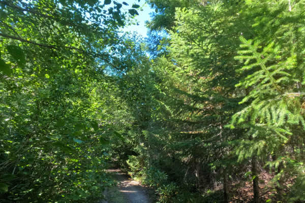
Picking up just past the abandoned campground near the Rimrock Trail (#704) junction, the southern stretch of FS 5830000 skirts high along the western rim of Shellrock Canyon. Managed by the Mt. Hood National Forest along the perimeter of the Roaring River Wilderness, the route cuts beneath a lofty canopy of mature Douglas firs and hemlocks framed by heavy rhododendron and huckleberry brush. What begins as an easy, wide two-track gravel lane eventually tapers down to a snug single-lane path rated 1. Recreationists frequent this canyon route to snag tucked-away dispersed campsites and hike nearby wilderness-edge trails. While historically mapped as a throughway, travel currently serves as an out-and-back run that dead-ends at a fresh, massive conifer blowdown spanning the tracks.
Difficulty
Holding a level 1 rating, this gravel path offers a relaxed, trouble-free roll featuring mild grades under 10% and a solid crushed-rock foundation. Undercarriage clearance is never challenged, as the roadbed remains devoid of cross-ditches, boulders, or washouts. The track narrows further along, bringing light brush in contact with vehicle sides, but forward sightlines stay clear and predictable. Drivers can comfortably cruise down the center of the lane at an easy pace, taking care to use one of the natural turnouts or wider shoulders to turn around safely before reaching the terminal fallen log.