Trail Overview
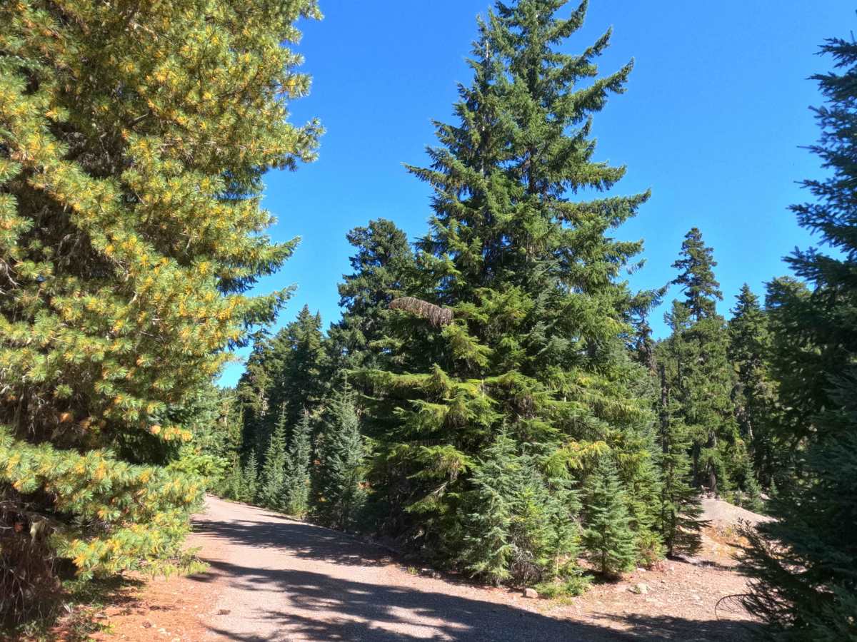
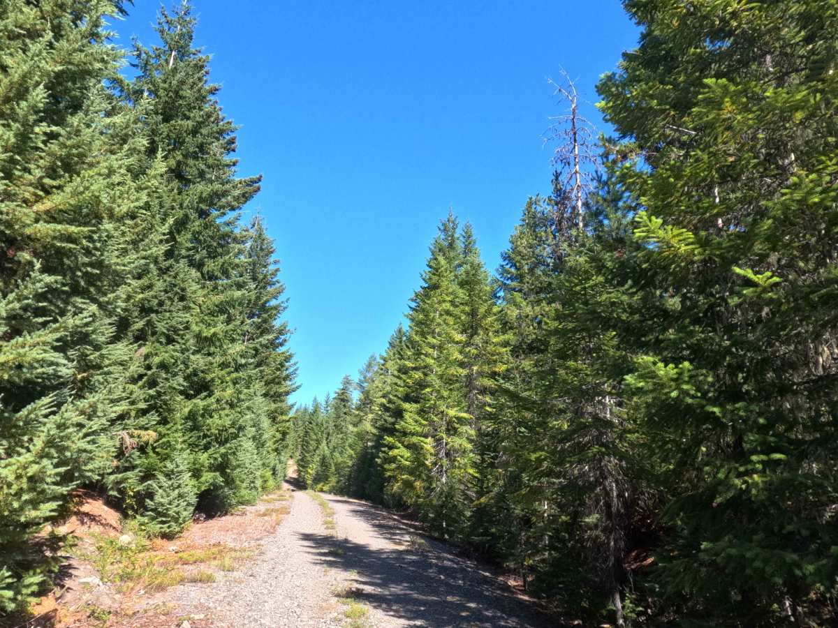
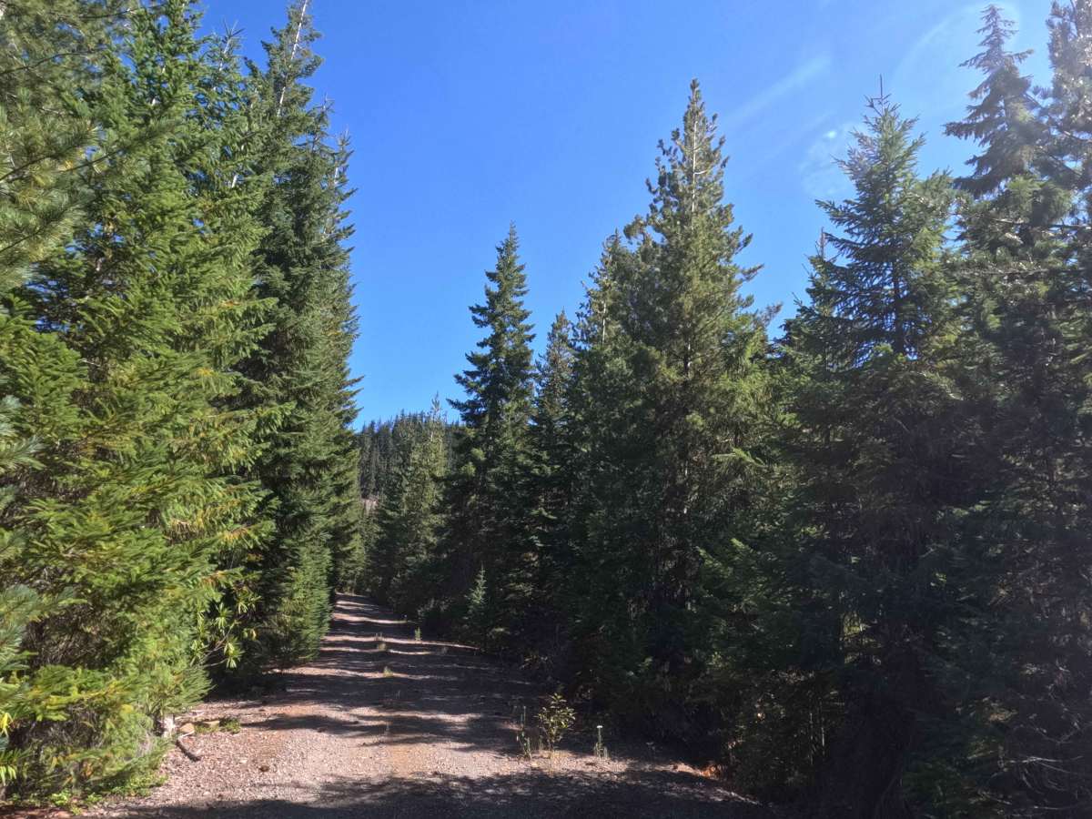
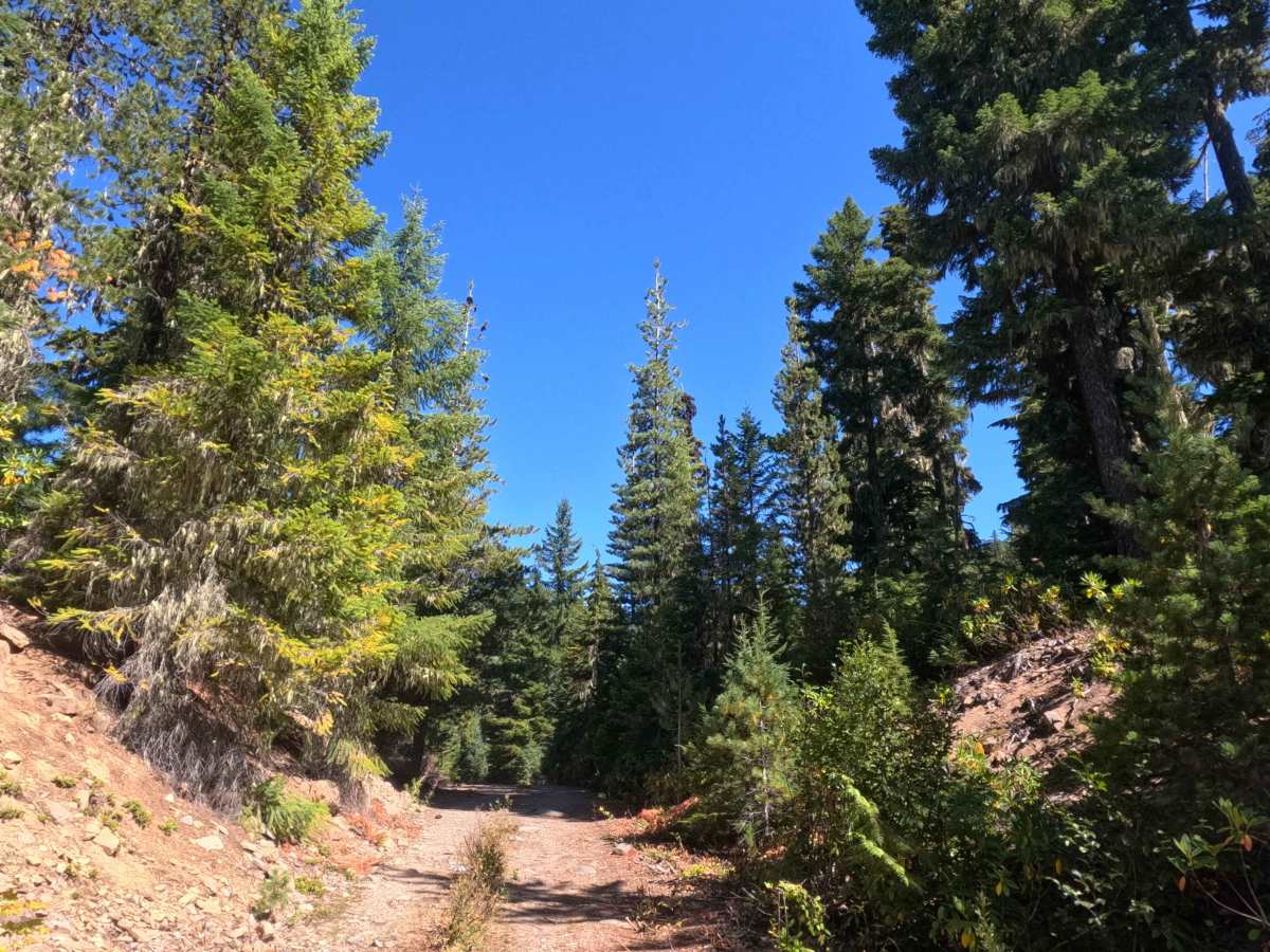
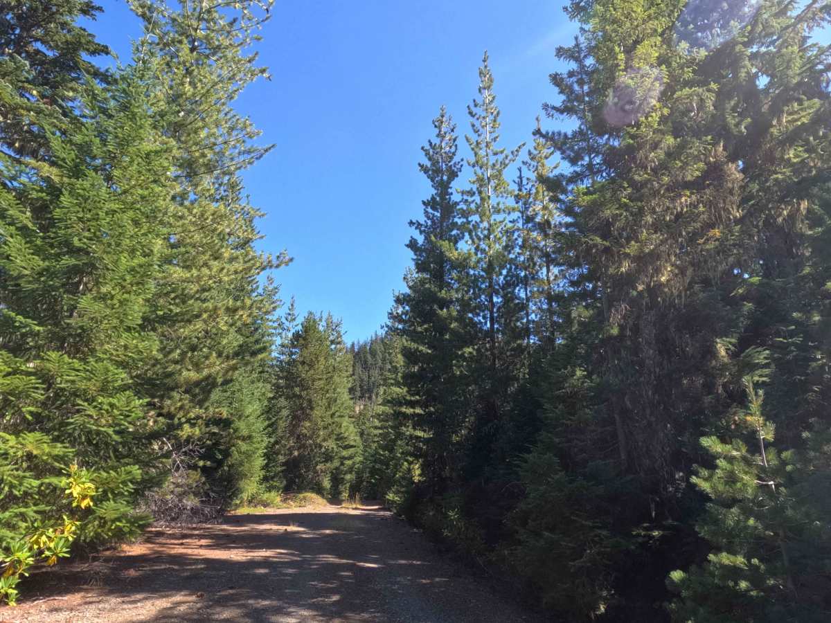
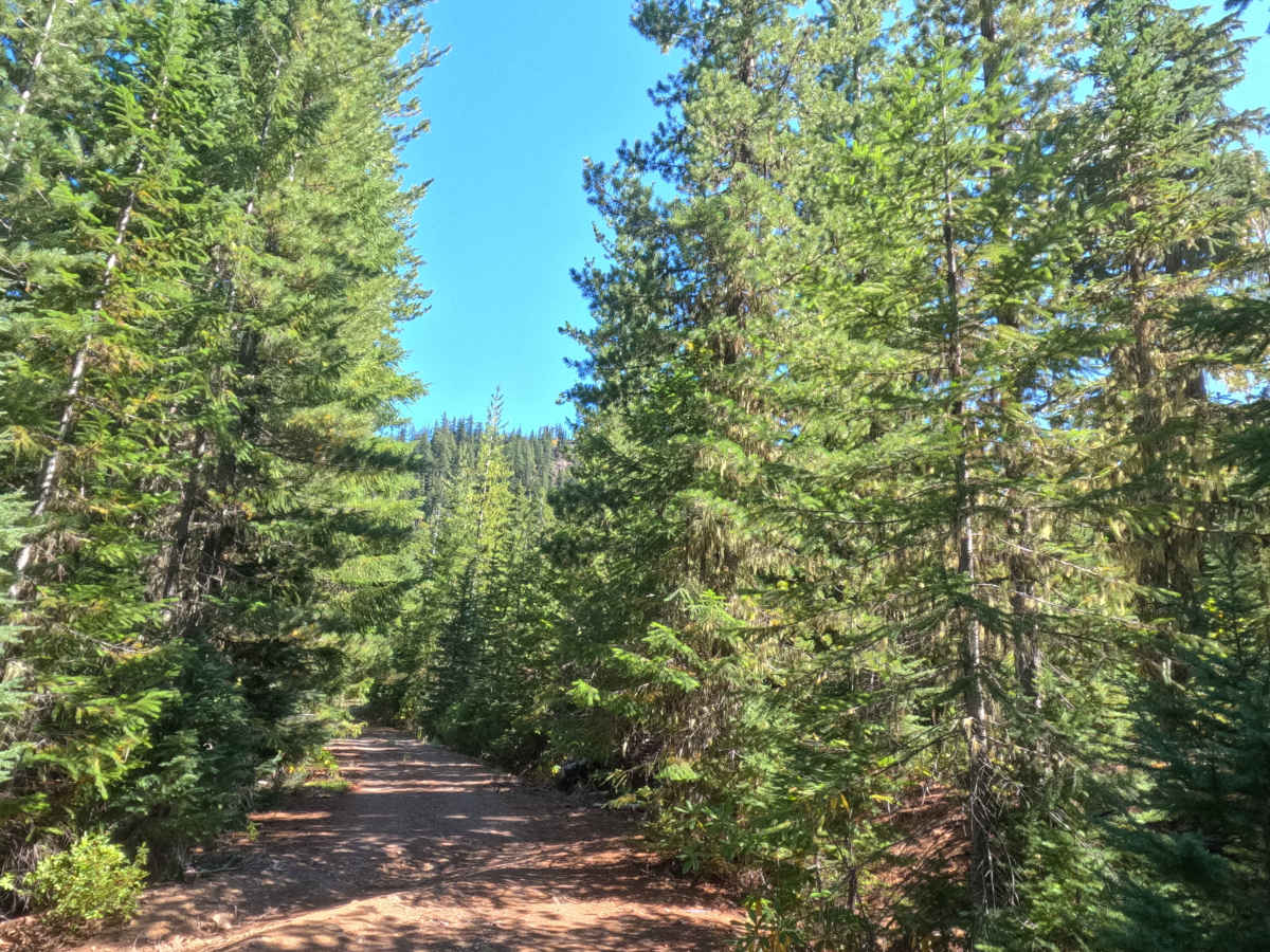
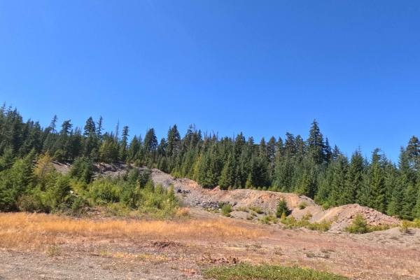
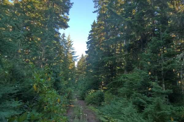
Heading eastward directly off FS 5830, FS 5830150 is a rustic out-and-back woodland spur that delves into the backcountry of the Mt. Hood National Forest. The route winds through an unbroken canopy of towering Douglas firs, pines, and lush subalpine timber fringed by vibrant native underbrush and reddish dirt embankments. Composed of a single-lane packed dirt and coarse gravel surface, this spur holds a difficulty rating of 2. Right near the beginning of the road, visitors will find an established dispersed campsite alongside a wide, unnamed rock quarry pit, making it a favored spot for recreational target shooting, vehicle staging, and quiet forest camping. Continuing past the junction with closed road 5830160, the corridor climbs at a gentle grade below 10% toward a fork with FS 5830170 before concluding at the gated entrance of FS 5830174.
Difficulty
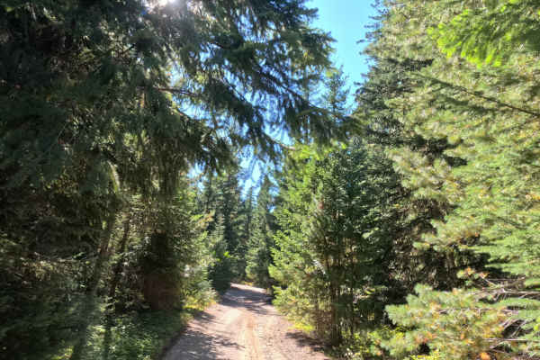
Assigned a difficulty rating of 2, this spur is largely straightforward but features a prominent, deep drainage rut cut across the roadway that requires careful wheel placement. Approaching the trench at a measured crawl and crossing at an angle allows tires to articulate through one at a time, preventing undercarriage contact and preserving clearance. The roadbed features gradual slope variations under 10% over solid gravel and dry earth, providing dependable traction throughout. Roadside brush is light enough to avoid noticeable vehicle contact, and open clearings near the quarry base and upper junction offer plenty of level space to turn around safely.