Trail Overview
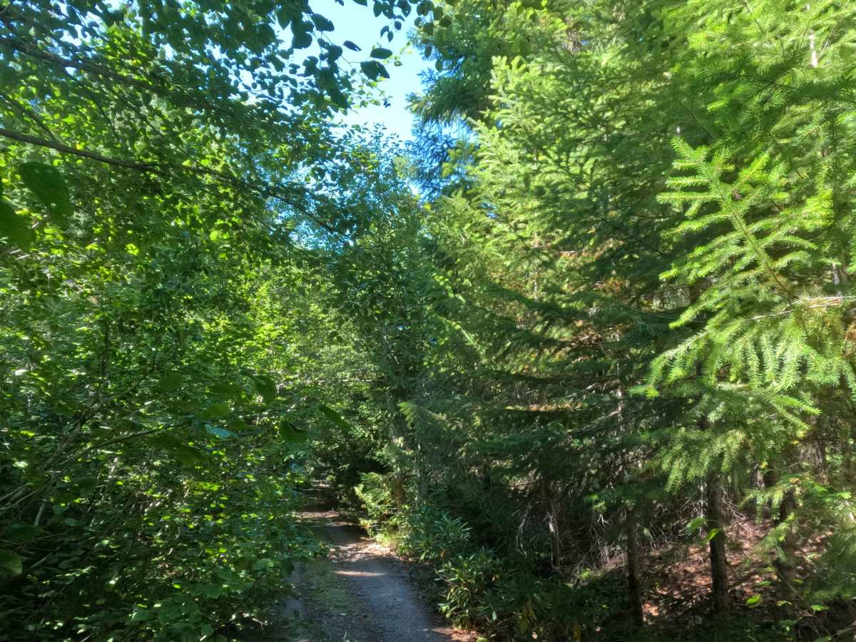
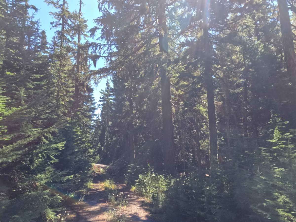
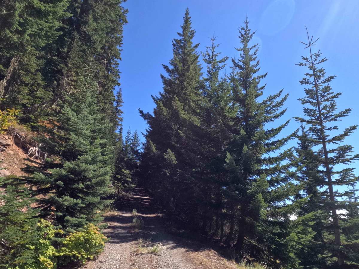
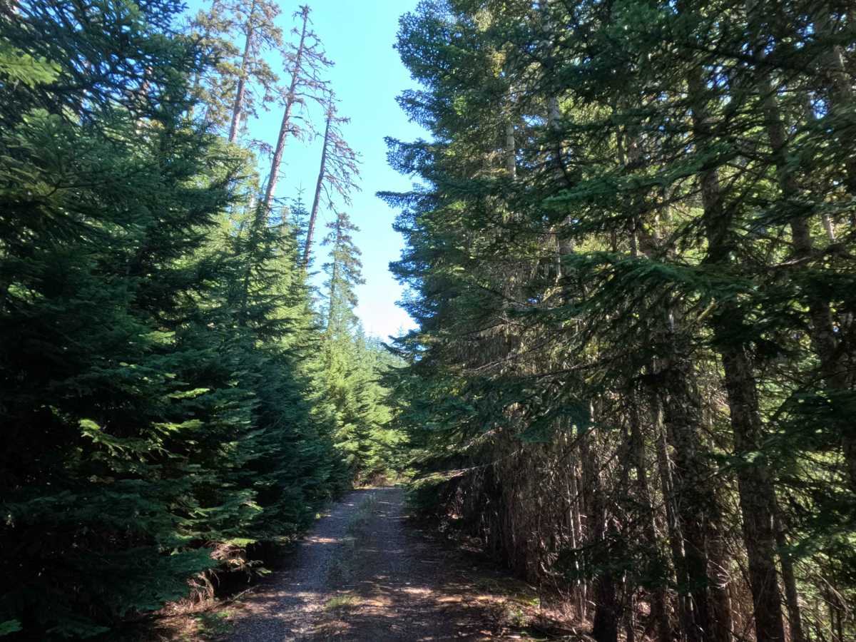
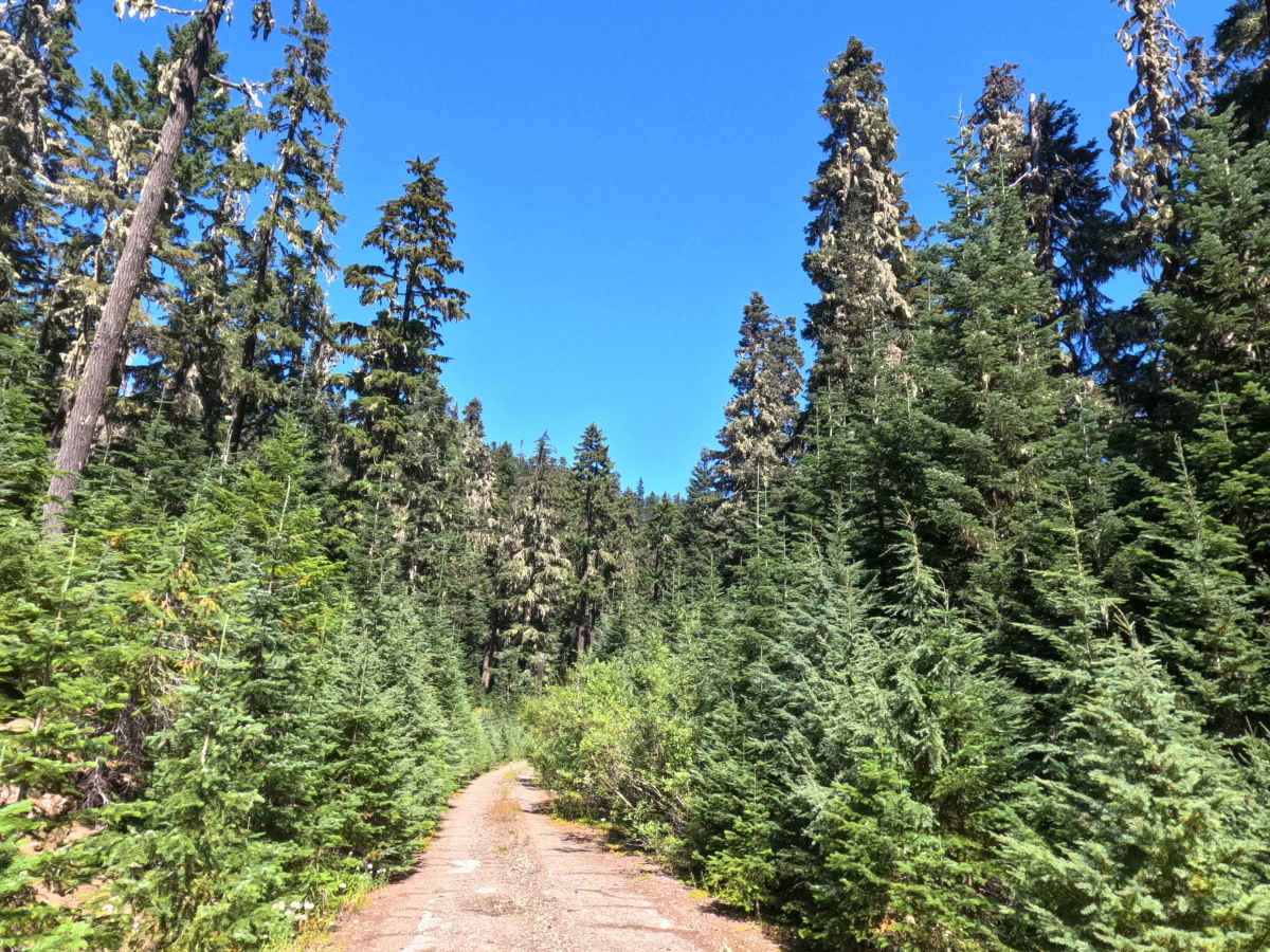
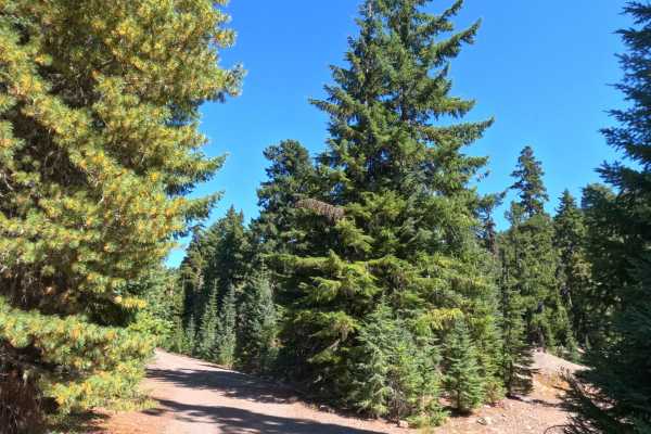
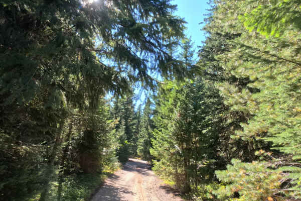
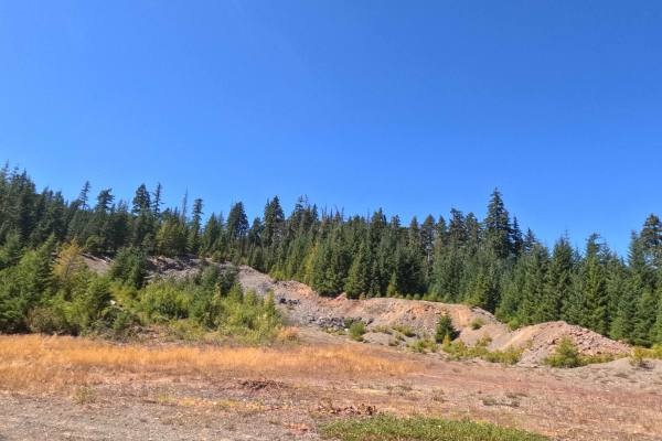
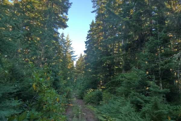
Departing westward from FS 5830, FS 5830130 unfolds as a secluded out-and-back woodland spur reaching nearly four miles into the backcountry. Managed by the Mt. Hood National Forest, this corridor hugs the scenic western periphery of the protected Roaring River Wilderness, traversing a verdant landscape beneath an expansive canopy of towering Douglas firs and mountain hemlocks. The pathway consists of a single-track crushed gravel and native dirt surface holding a difficulty rating of 2. Along the way, the road crosses Shellrock Creek via reinforced culverts and provides access to FS 5830140 leading toward the historic Sink Quarry pit. Recreationists explore this remote corridor for primitive wilderness-edge scenery, birdwatching, and dispersed forest access, though vehicular progress terminates abruptly at the 3.8-mile mark where a massive fallen tree spans the road.
Difficulty
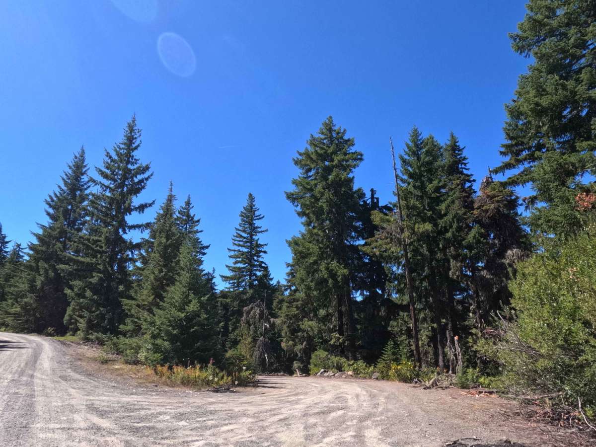
Assigned a difficulty rating of 2, this trail is non-technical but calls for attentive wheel placement and a measured pace. Grade changes remain moderate at under 10%, though drivers must negotiate recurrent cross-drainage channels and shallow erosion ruts along the gravel bed. Straddling central depressions and rolling across drainage troughs at a slow angle will easily preserve undercarriage clearance. In addition, roadside brush presses inward along several narrow corridors, causing frequent foliage contact along vehicle flanks. Towed setups and oversized rigs are discouraged due to limited turnaround options, and drivers should utilize natural clearings to reverse direction safely before reaching the terminal fallen log.

 Offroad