Trail Overview
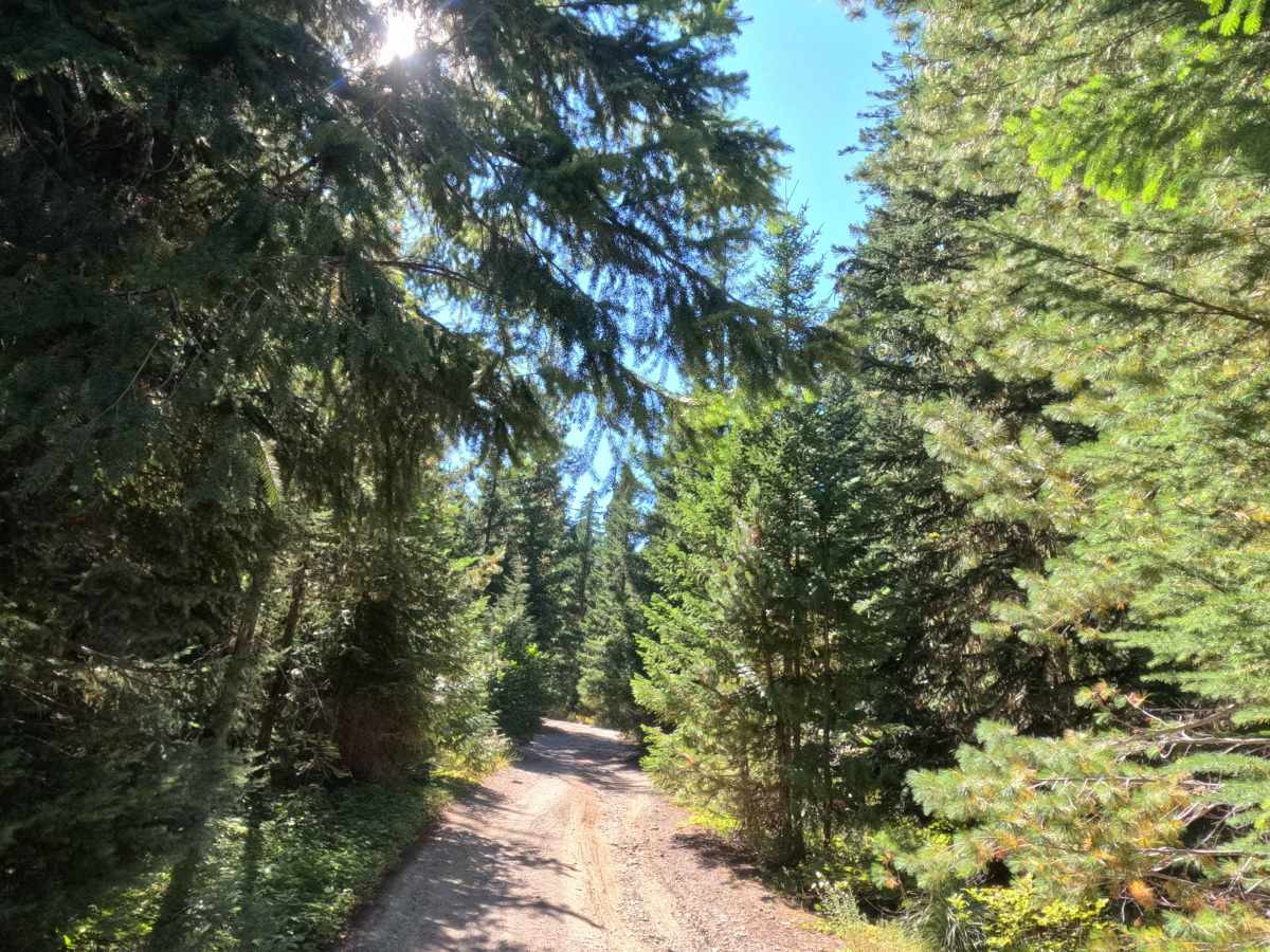
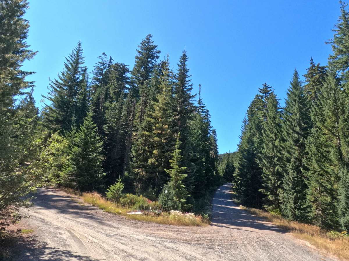
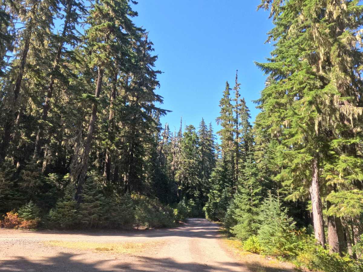
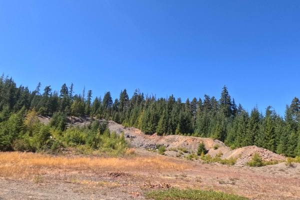
Departing westward from FS 5830, FS 5830190 serves as a scenic, out-and-back recreational spur that journeys into the Mt. Hood National Forest before culminating in a loop through the Hideaway Lake Campground. Nestled within an exceptionally lush evergreen timber environment, the corridor winds beneath a towering canopy of Douglas firs, mountain hemlocks, and western red cedars with vibrant ground foliage bordering the lane. The single-lane roadbed consists of a narrow, packed dirt and coarse gravel track studded with embedded rocks, holding an overall difficulty rating of 2. Recreationists frequently seek out this route to access the clear, tranquil waters of Hideaway Lake, taking advantage of peaceful shoreline trout fishing, paddling, and lakeside overnight stays at the developed, fee-based campground featuring picnic sites and vault toilets.
Difficulty
Holding a difficulty rating of 2, this spur road is uncomplicated but calls for attentive wheel placement to smoothly negotiate uneven surfaces and shallow drainage troughs. Gradients remain steady and gentle at under 10%, though scattered sections feature embedded, medium-sized cobbles and minor wash ruts. Maintaining a cautious, measured pace allows tires to crest higher ground and roll progressively over protruding stones, protecting undercarriage components from incidental scrapes. Entering the lake basin, the terminal loop circulates seamlessly around the campsite turnouts, offering generous visibility and ample turning room for standard vehicle configurations under typical dry summer conditions.