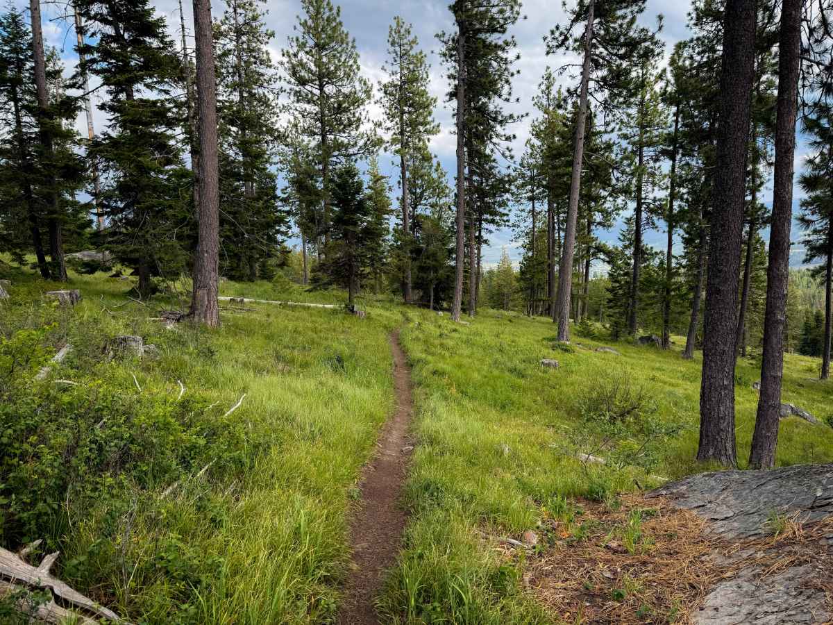
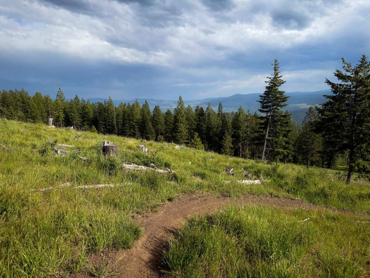
Trail Overview
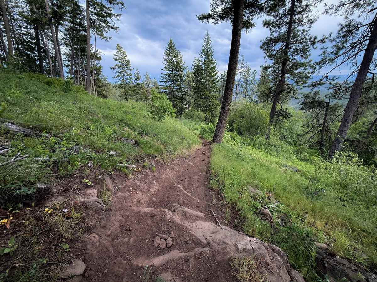
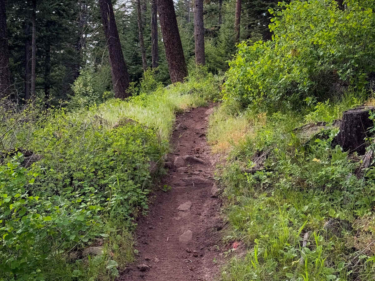
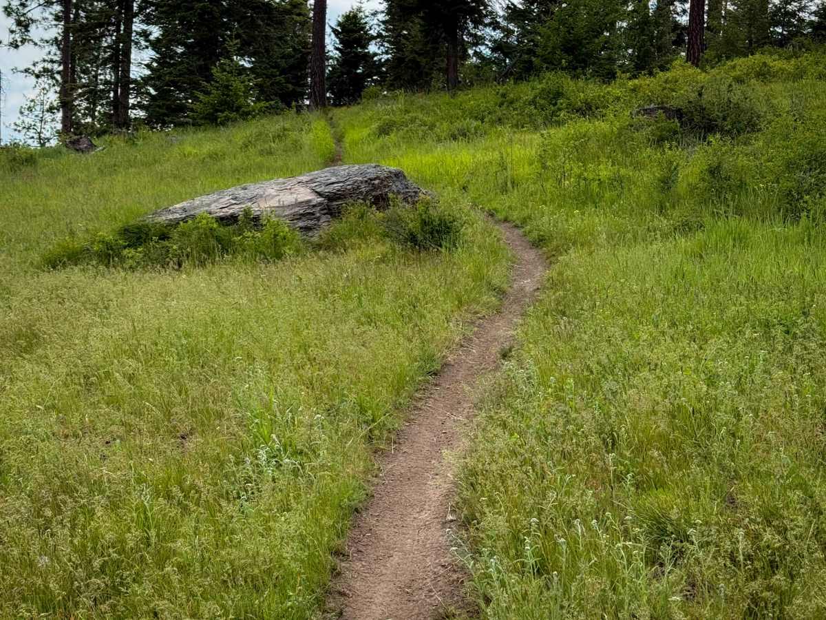
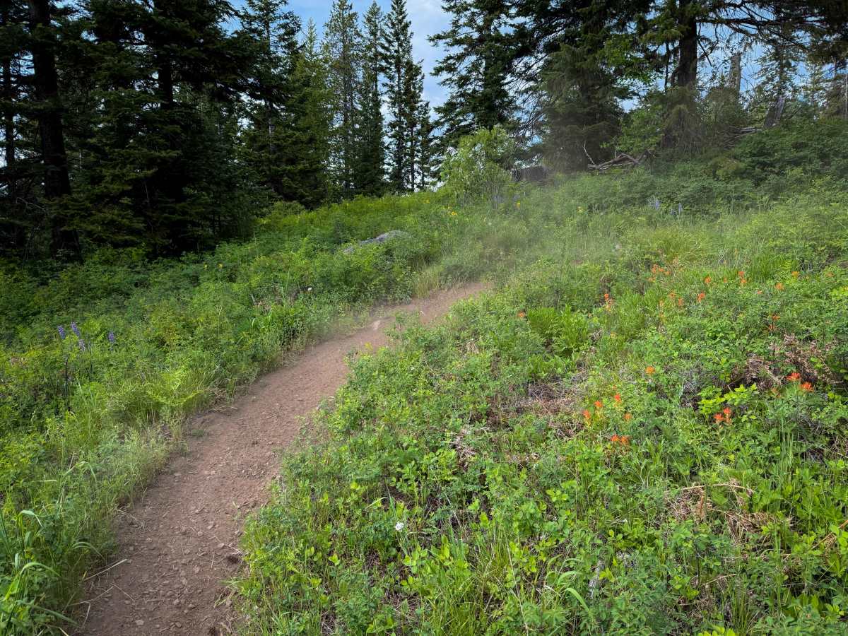
Hillside Ride is a fun single track through the Mount Emily Recreation Area. The north end starts at an intersection with Dead Bull singletrack, and it climbs up a hill and starts winding through the forest of ponderosa pines and grassy meadows on a smooth dirt single-track. The trail is a decent width to keep it easy for newer riders. It’s mostly flowy, with frequent gradual hairpin turns, some tighter turns through the trees, and intermittent embedded rocks that add some variety but not difficulty. It zig-zags down the hillside, overlooking the valley below through the meadows, and is very scenic. It crosses a couple of roads, but mostly just keeps descending, sometimes through a denser forest segment for a moment, but mostly through the wide open meadows. Near the south end, there are a couple more technical spots with embedded roots or rocks, or sharper turns, or narrower sections of trail. After descending over 1,000 feet in elevation over 3.3 miles, the south end pops out at the staging area.
Difficulty
This is an overall easy trail that has minor technical elements such as sharp curves, small embedded rocks or roots, but no major obstacles. The trail can be narrow and shelfy at times, with lots of hairpin turns. It is a great place for less experienced riders to practice their singletrack skills. This is rated by the land managers as Moderate within the trail system.