FS 9736160

Total Miles0.9
Technical Rating
1Easy
Best TimeSpring, Summer, Fall
Trail TypeFull-Width Road
Accessible By
Open Trail Map

Trail Overview

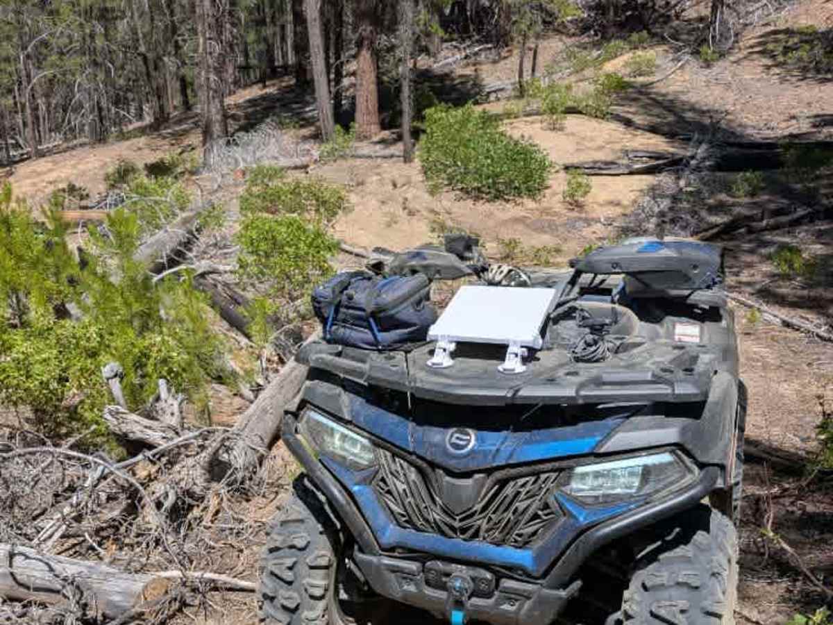
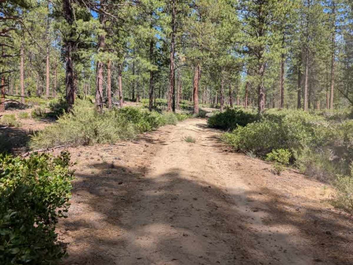
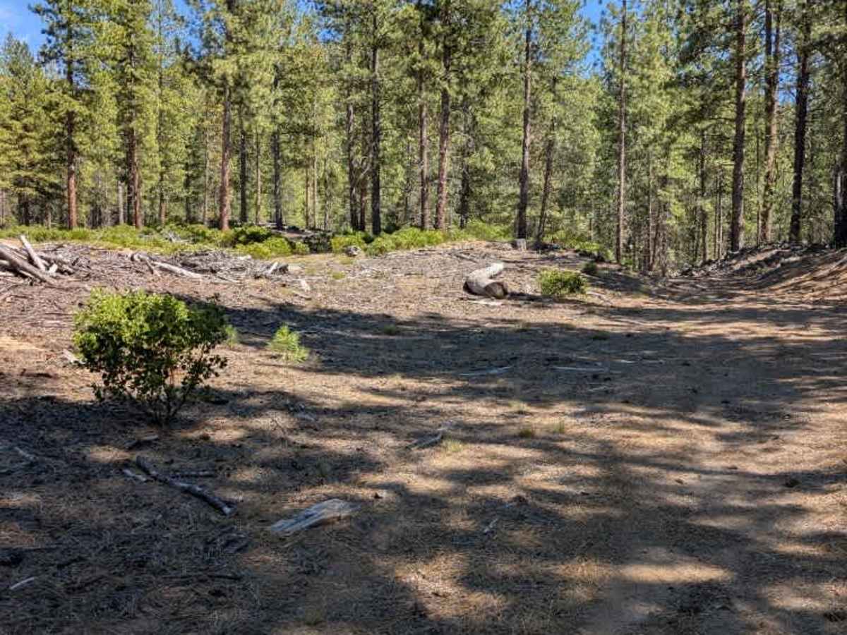
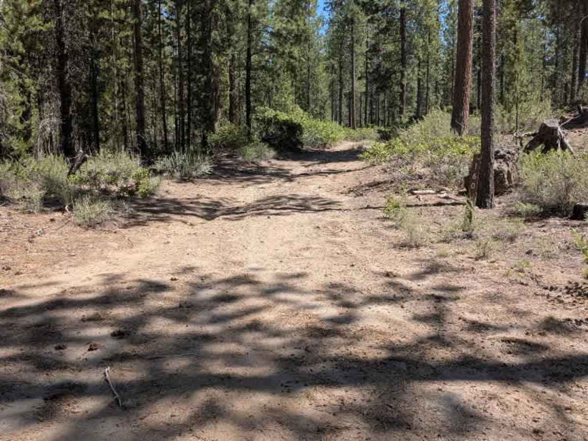
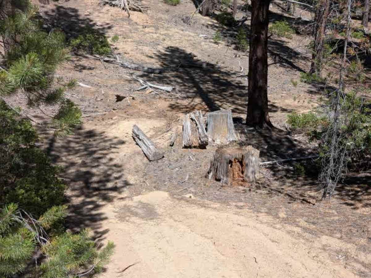
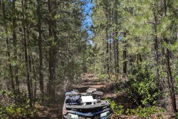
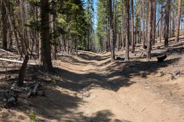
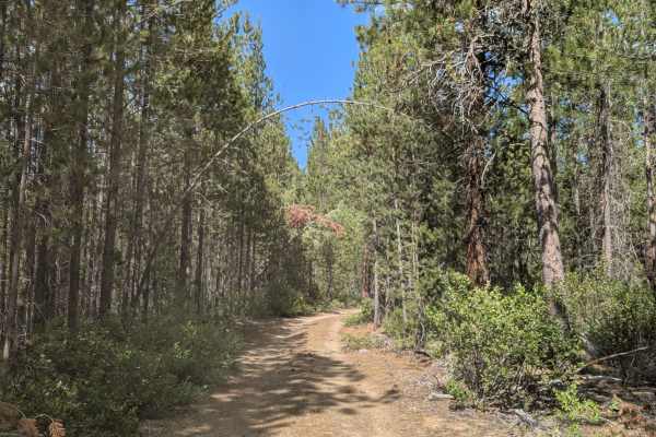
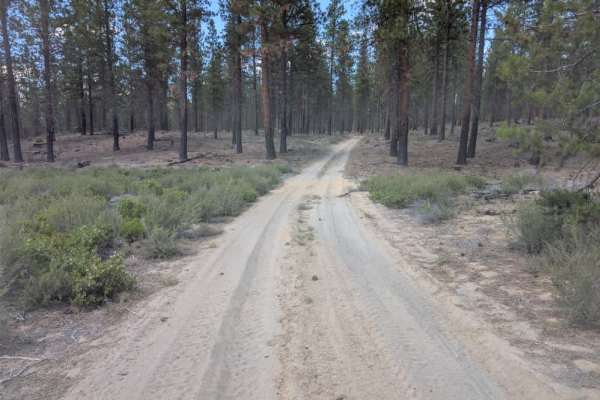
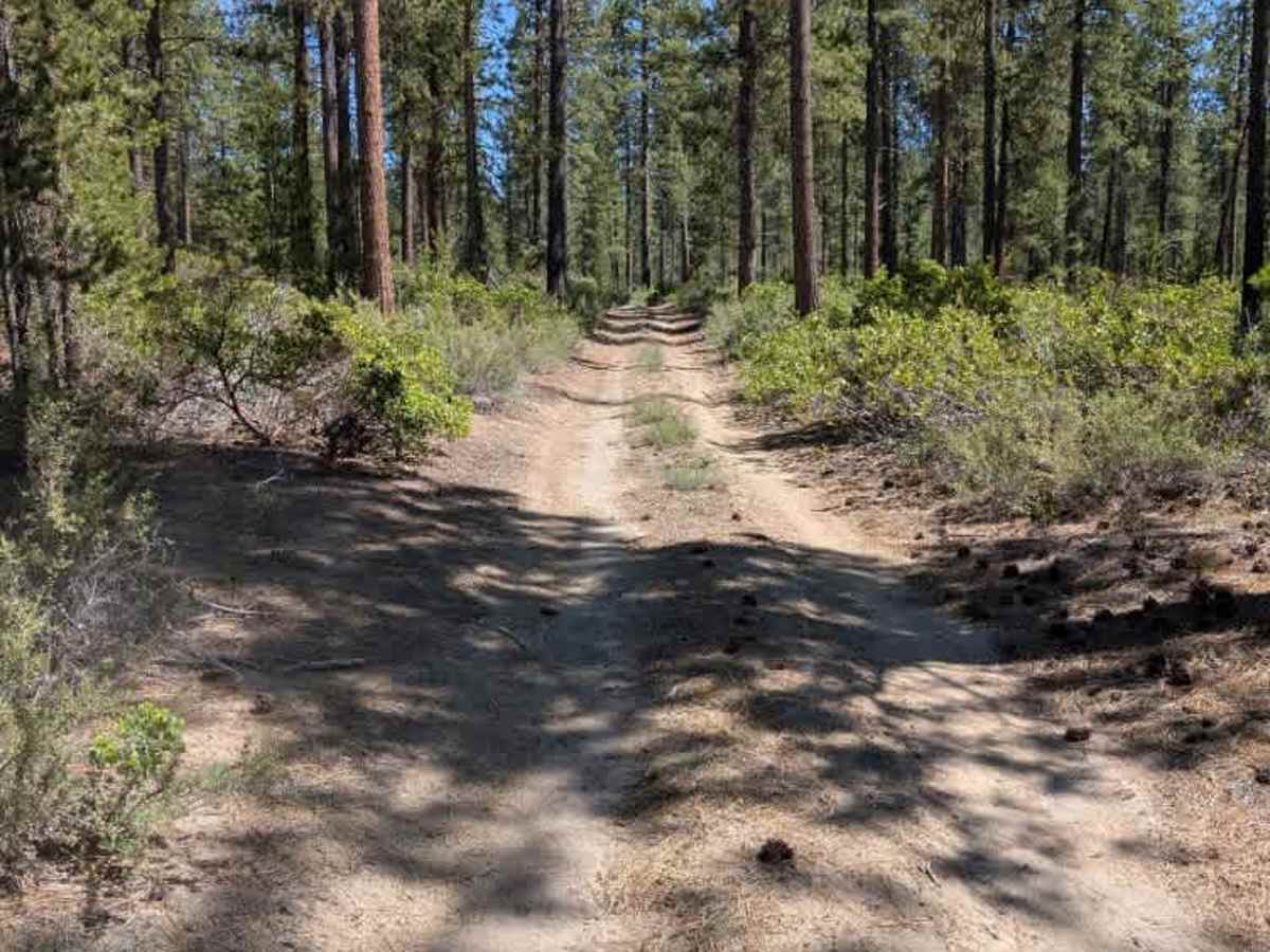
This is a fun diversion from the main road. The trail starts relatively tame and continues in similar conditions until reaching a clearing, where it transitions into a more ATV-focused track. The surface is sandy but fairly firm, with some fallen trees blocking sections of the route. After the turnaround point, there is an area where camping may be possible. Beyond this point, the trail becomes a fun, weaving track through fallen trees and tighter terrain. The mapped endpoint does not appear to be the true end of the route. The trail continues beyond the final marked point as what appears to be either an official or unofficial ATV path, with clear turns and twists continuing through the hill. ATVs, UTVs, Side-by-Sides, and Dirt Bikes must always have a valid Oregon ATV Operating Permit sticker.

Photos of FS 9736160

Difficulty

The route starts easy before becoming narrower and more technical toward the end.

Technical Rating

1

FS 9736160 Trail can be accessed by the following ride types:

  • Single Track
  • 50 Inch
  • 60 Inch
  • High Clearance
  • Full Width

FS 9736160 Map

The onX Offroad Difference

onX Offroad combines trail photos, descriptions, difficulty ratings, width restrictions, seasonality, and more in a user-friendly interface. Available on all devices, with offline access and full compatibility with CarPlay and Android Auto. Discover what you're missing today!

Open Trail Map