FS 9736155

Total Miles0.5
Technical Rating
1Easy
Best TimeSpring, Fall, Summer
Trail TypeFull-Width Road
Accessible By
Open Trail Map

Trail Overview

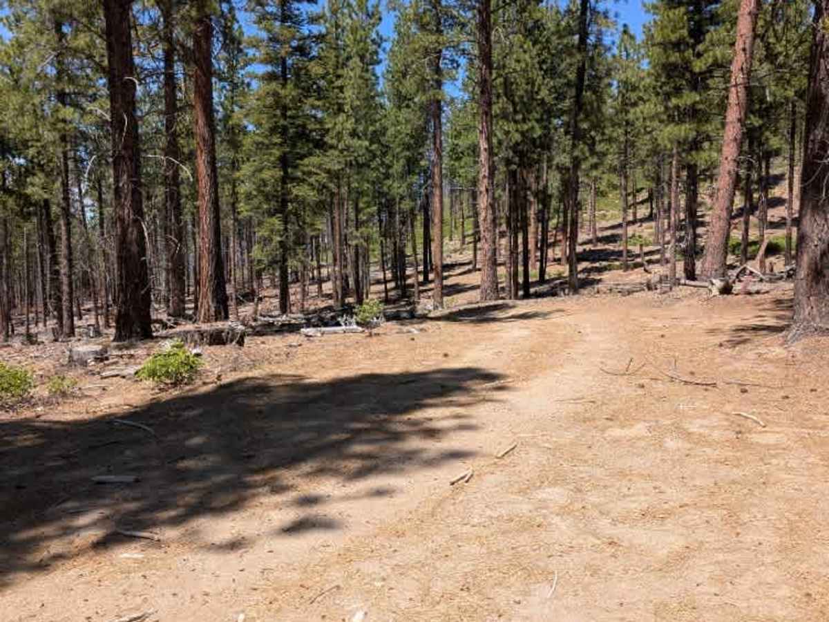
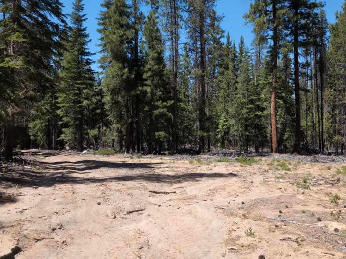
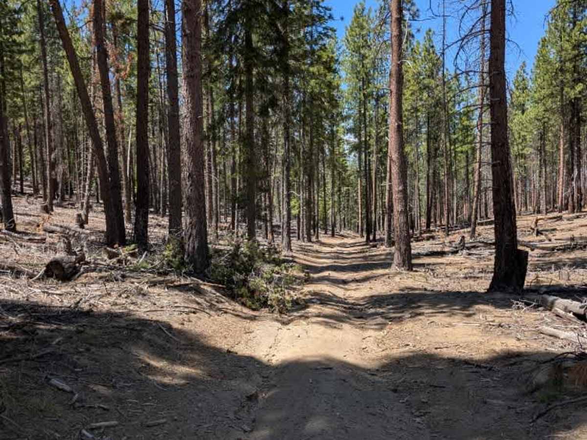
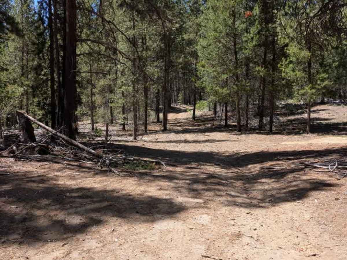
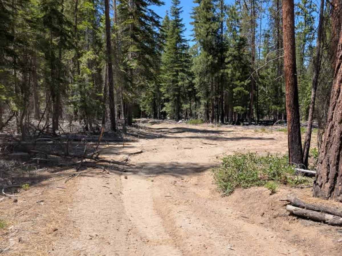
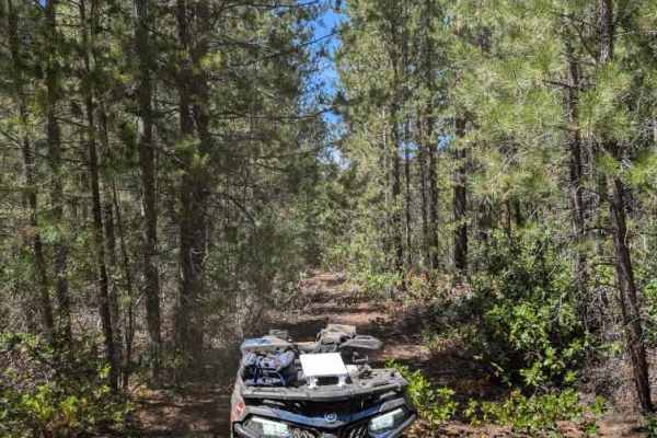
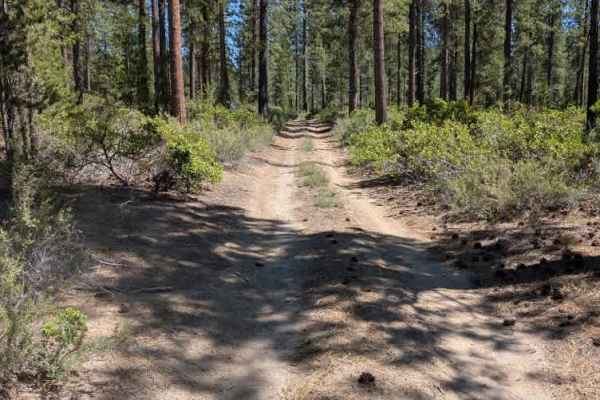
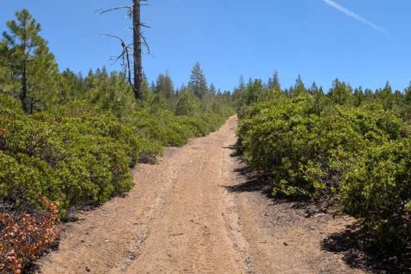
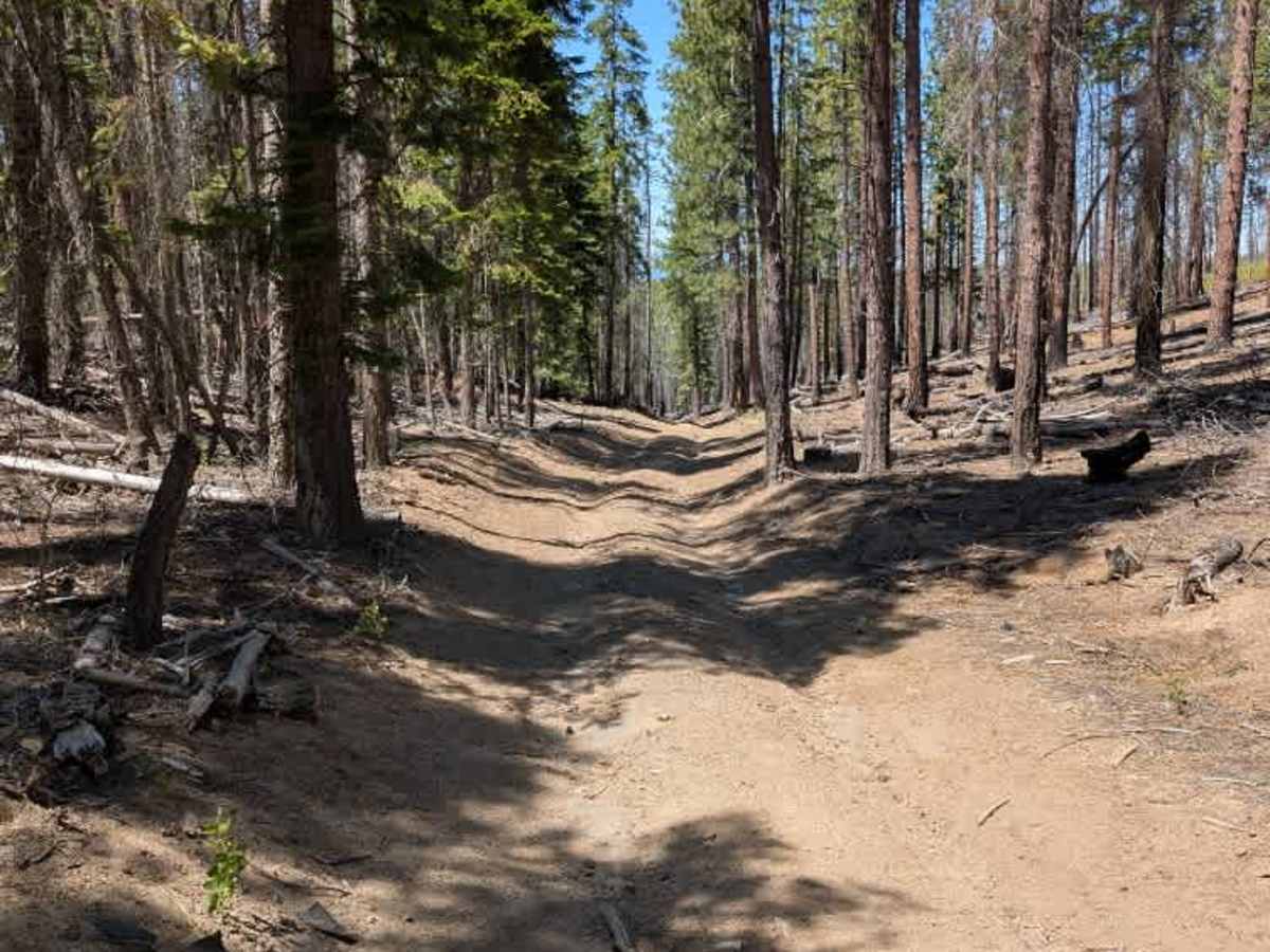
This trail connects to a better-maintained and more frequently used road, but this section is considerably less traveled and less maintained. Shortly after entering the trail, it begins a relatively steep descent with very deep ruts and rocks sitting within the ruts. Caution is needed when navigating the sandy decline, as the exposed rocks in the ruts could cause underbody damage. The trail connects to several other routes along the way. After the initial descent, this section becomes much more stable and levels out. The trail provides a smooth ride, although ruts continue throughout the route. This is a recommended connector route when trying to link the two branches of the trail system. ATVs, UTVs, Side-by-Sides, and Dirt Bikes must always have a valid Oregon ATV Operating Permit sticker.

Photos of FS 9736155

Difficulty

The combination of deep ruts and embedded rocks makes the opening descent the most technical part of the route.

Technical Rating

1

FS 9736155 Trail can be accessed by the following ride types:

  • Single Track
  • 50 Inch
  • 60 Inch
  • High Clearance
  • Full Width

FS 9736155 Map

The onX Offroad Difference

onX Offroad combines trail photos, descriptions, difficulty ratings, width restrictions, seasonality, and more in a user-friendly interface. Available on all devices, with offline access and full compatibility with CarPlay and Android Auto. Discover what you're missing today!

Open Trail Map