FS 9736150

Total Miles2
Technical Rating
1Easy
Best TimeSpring, Summer, Fall
Trail TypeFull-Width Road
Accessible By
Open Trail Map

Trail Overview

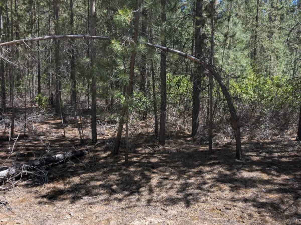
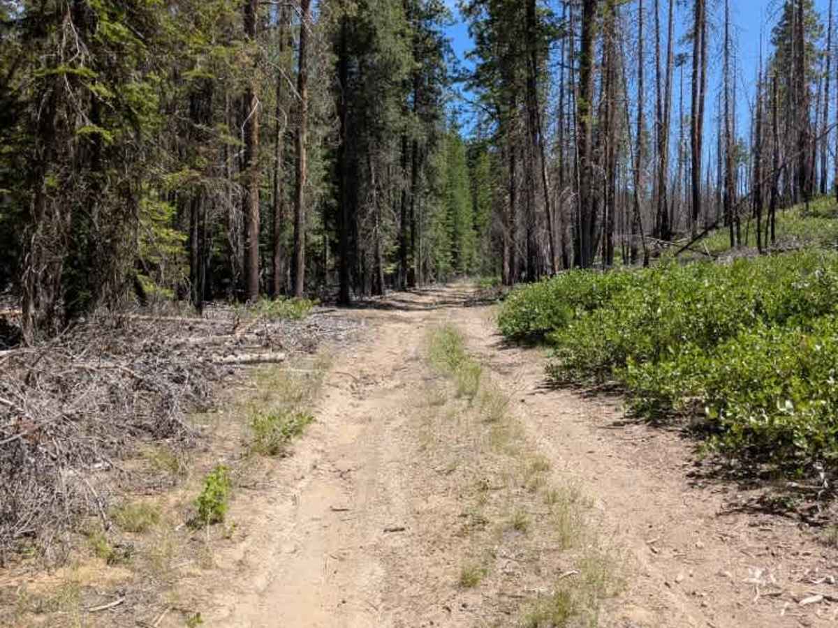
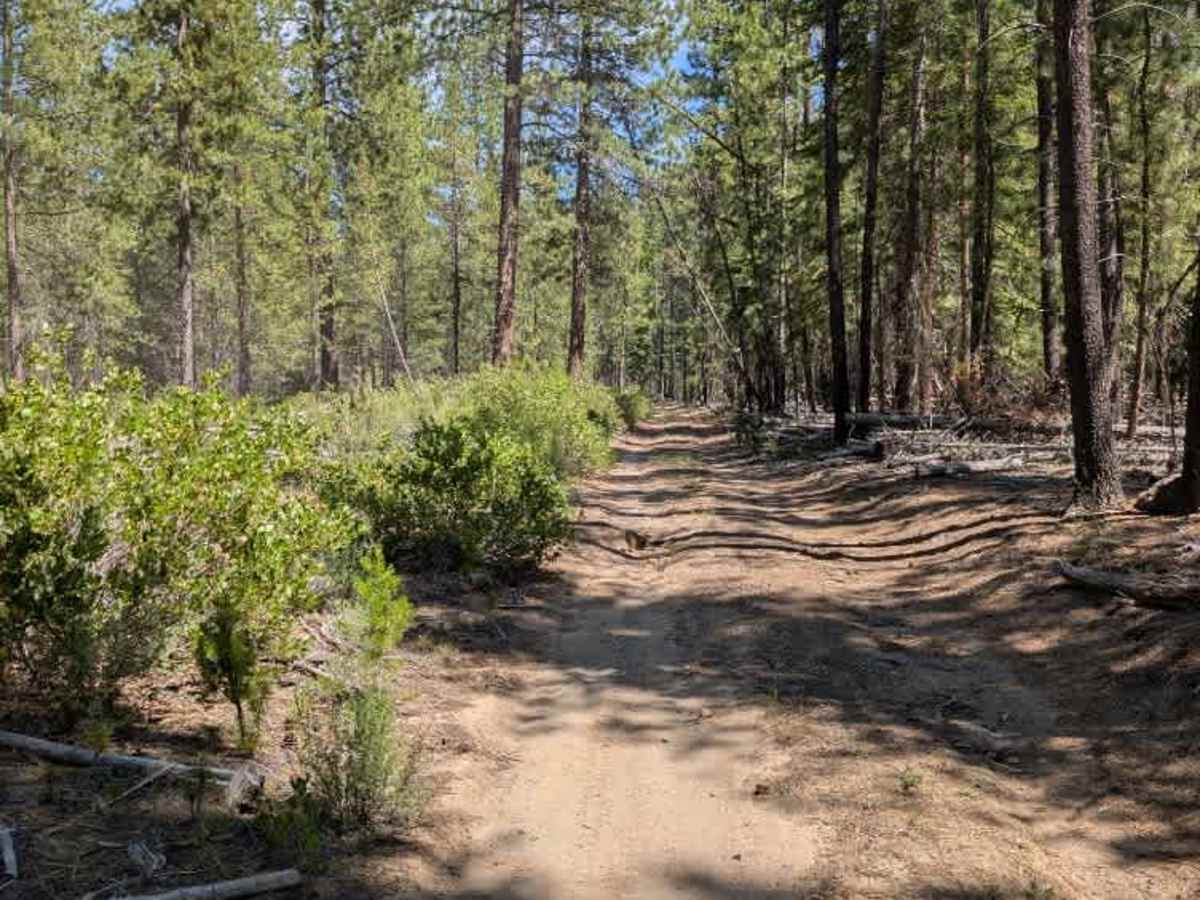
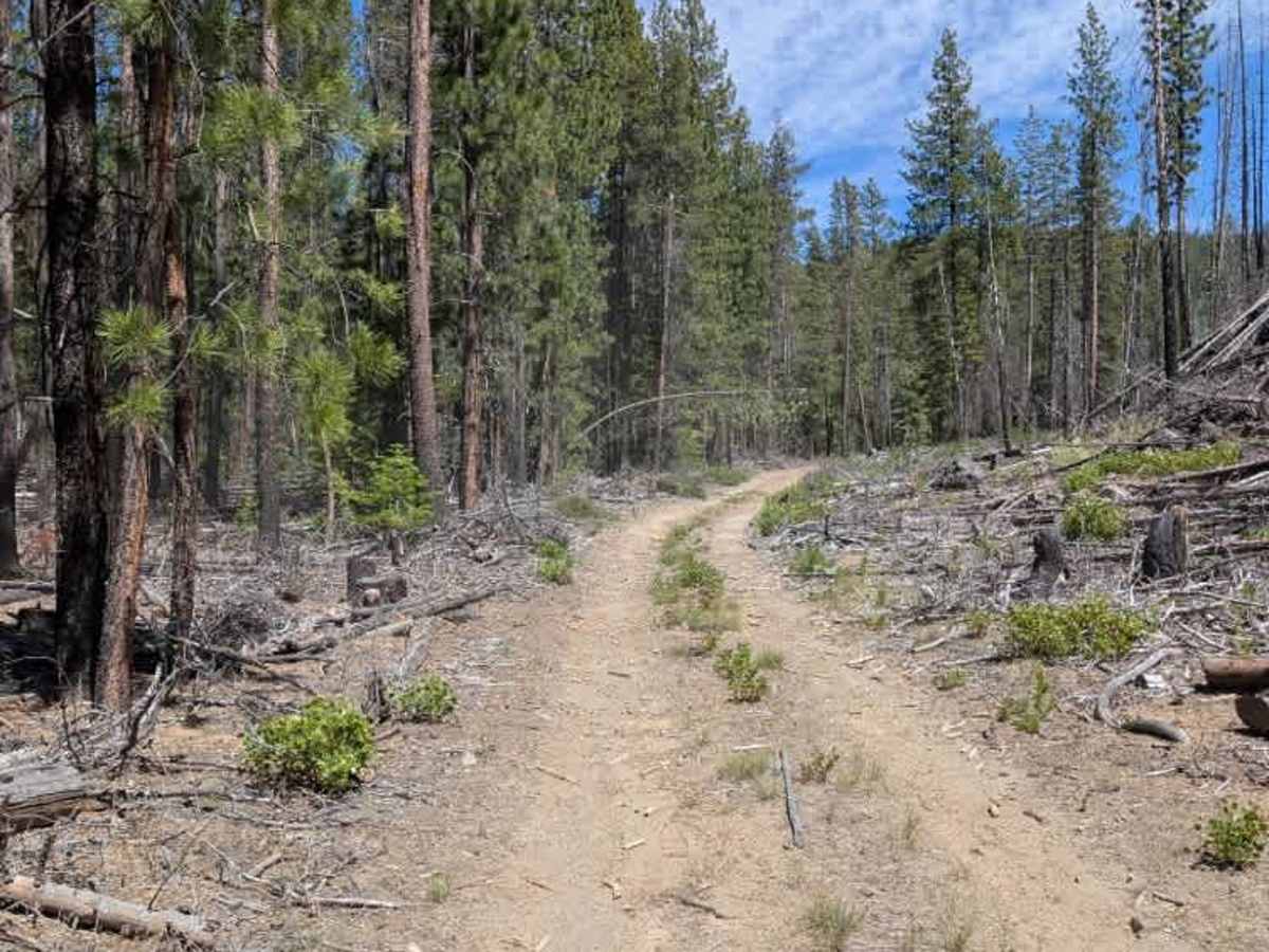
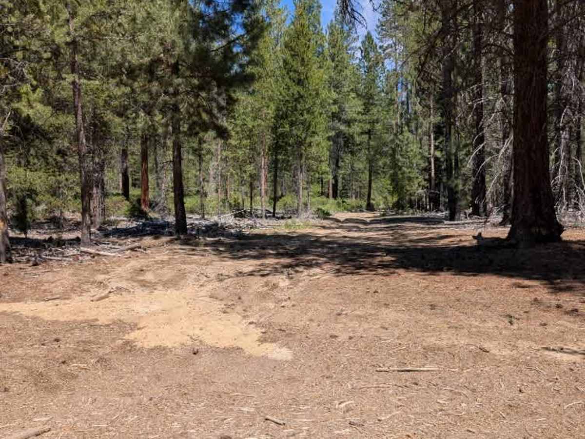
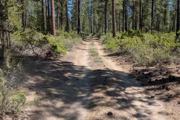
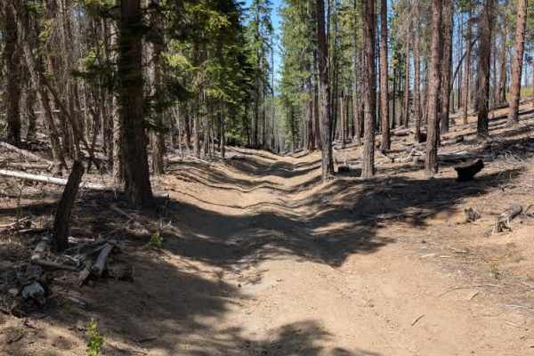
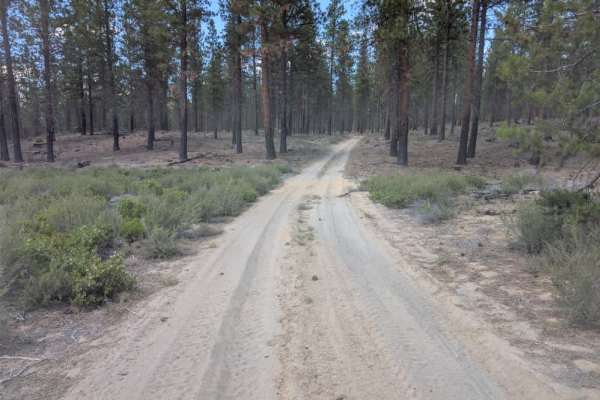
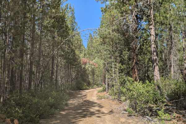
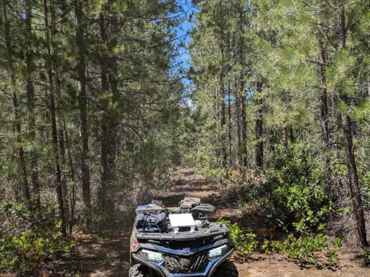
This is a dead-end trail connected to FS 155. The route is unmaintained and begins with sections of water degradation before becoming more stable and relatively open. The trail continues until reaching an area of intentionally felled trees, likely part of forest management activity. Beyond this point, the route deteriorates into a very narrow track that continues uphill before ending in the woods. The trail features a consistent uphill climb, with the steepest sections occurring near the end. Four-wheel drive is recommended for the final portion, especially due to the increasing incline, although it was completed in an ATV. The latter section is very tight and overgrown, with branches encroaching into the trail. Wear a helmet and face protection, as branches can whip into the rider or driver area and cause injury. A deer was also spotted along this route, so remain alert for wildlife. ATVs, UTVs, Side-by-Sides, and Dirt Bikes must always have a valid Oregon ATV Operating Permit sticker.

Photos of FS 9736150

Difficulty

The trail becomes more difficult as it narrows and climbs, with overgrown vegetation adding to the challenge.

Technical Rating

1

FS 9736150 Trail can be accessed by the following ride types:

  • Single Track
  • 50 Inch
  • 60 Inch
  • High Clearance
  • Full Width

FS 9736150 Map

The onX Offroad Difference

onX Offroad combines trail photos, descriptions, difficulty ratings, width restrictions, seasonality, and more in a user-friendly interface. Available on all devices, with offline access and full compatibility with CarPlay and Android Auto. Discover what you're missing today!

Open Trail Map