FS 9735175

Total Miles1.3
Technical Rating
1Easy
Best TimeSpring, Fall, Summer
Trail TypeFull-Width Road
Accessible By
Open Trail Map

Trail Overview

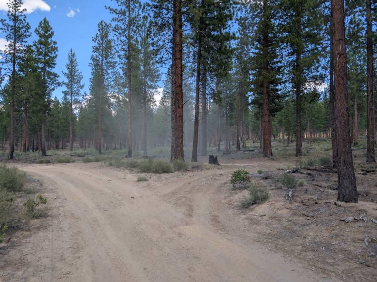
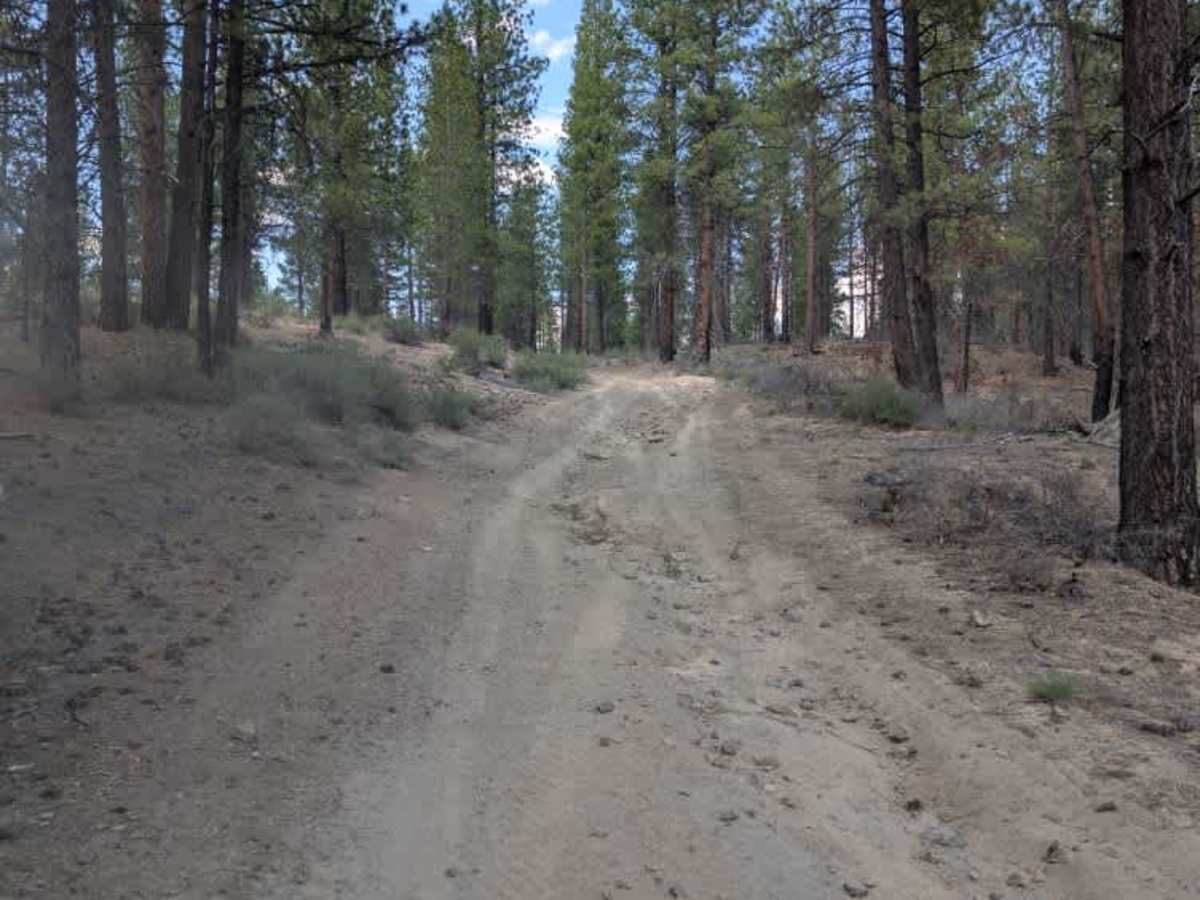
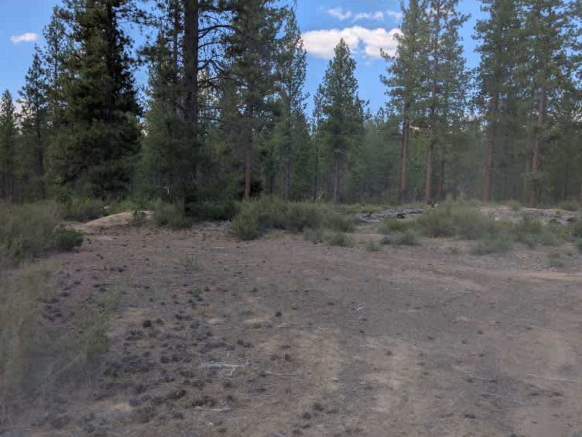
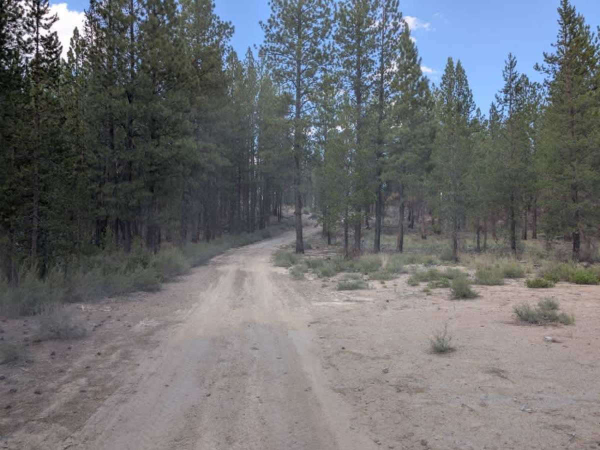
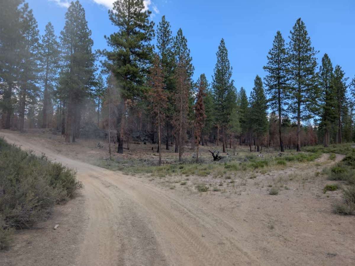
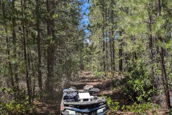
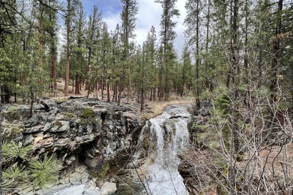
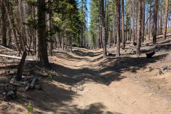
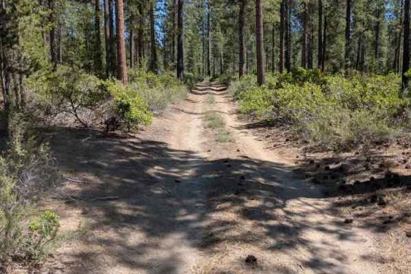
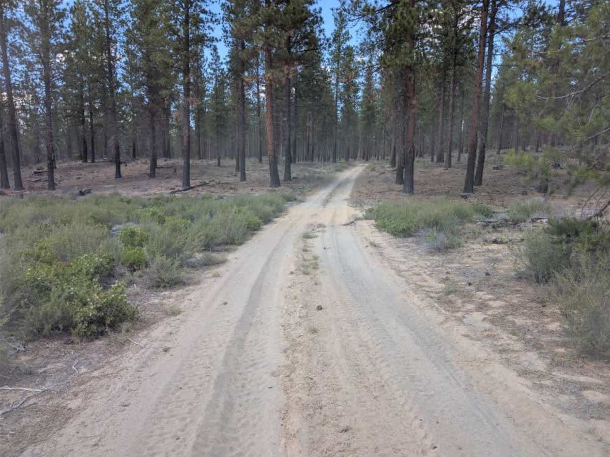
This is an unmaintained alpine trail with a predominantly sandy surface and a few minor ruts along the route. The terrain is fairly easy, with only gradual changes in elevation and a few slightly steeper sections that require some attention. The surrounding forest shows clear signs of past wildfire activity, with burned trees and areas of recovering vegetation throughout. Despite the fire damage, the area remains peaceful and scenic, with plenty of forest surrounding the trail. Squirrels are also common in the area, so wildlife may be seen along the route. The trail eventually ends at a larger, well-maintained route, creating a noticeable change in trail conditions. Overall, this is a quiet and straightforward trail for those looking for an easy alpine drive on a less-maintained route. ATVs, UTVs, Side-by-Sides, and Dirt Bikes must always have a valid Oregon ATV Operating Permit sticker.

Photos of FS 9735175

Difficulty

Minor ruts and a few steeper sections are the main challenges on this otherwise easy trail.

Technical Rating

1

FS 9735175 Trail can be accessed by the following ride types:

  • Single Track
  • 50 Inch
  • 60 Inch
  • High Clearance
  • Full Width

FS 9735175 Map

The onX Offroad Difference

onX Offroad combines trail photos, descriptions, difficulty ratings, width restrictions, seasonality, and more in a user-friendly interface. Available on all devices, with offline access and full compatibility with CarPlay and Android Auto. Discover what you're missing today!

Open Trail Map