FS 9407

Total Miles13.4
Technical Rating
2Easy
Best TimeSummer, Spring, Fall
Trail TypeFull-Width Road
Accessible By
Open Trail Map

Trail Overview

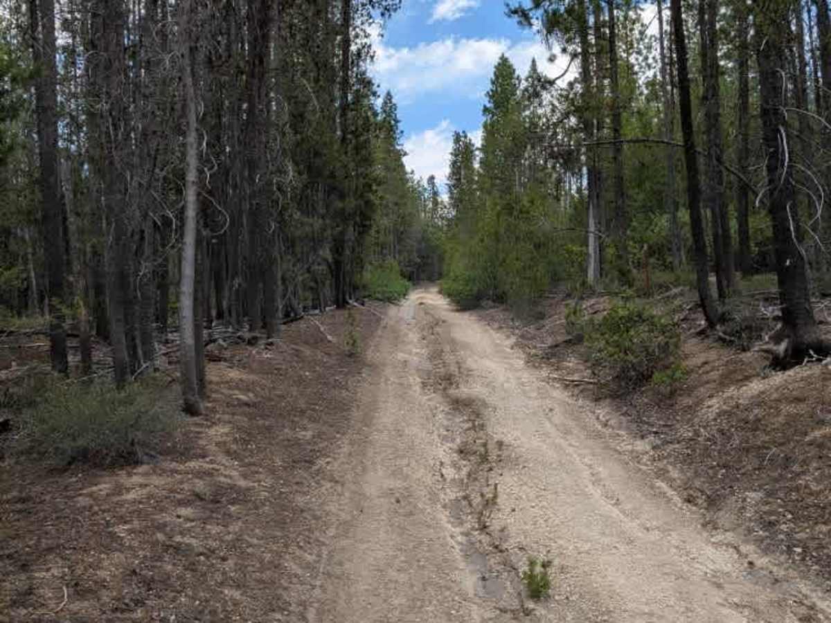
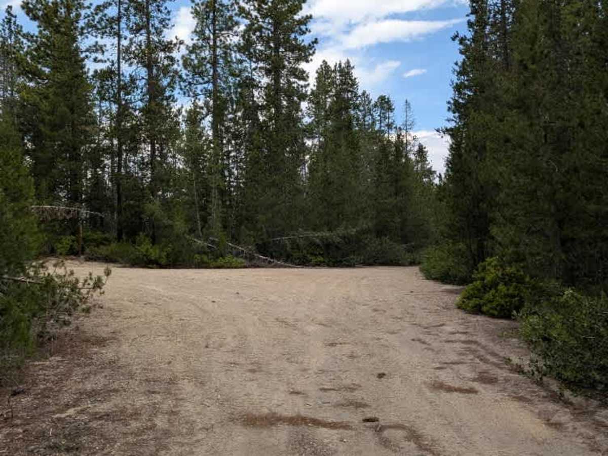
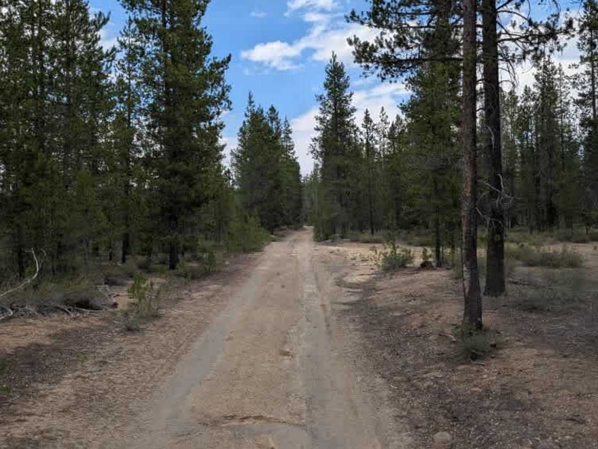
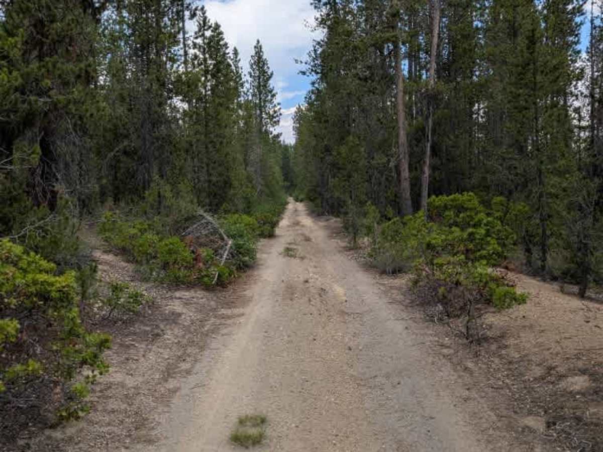
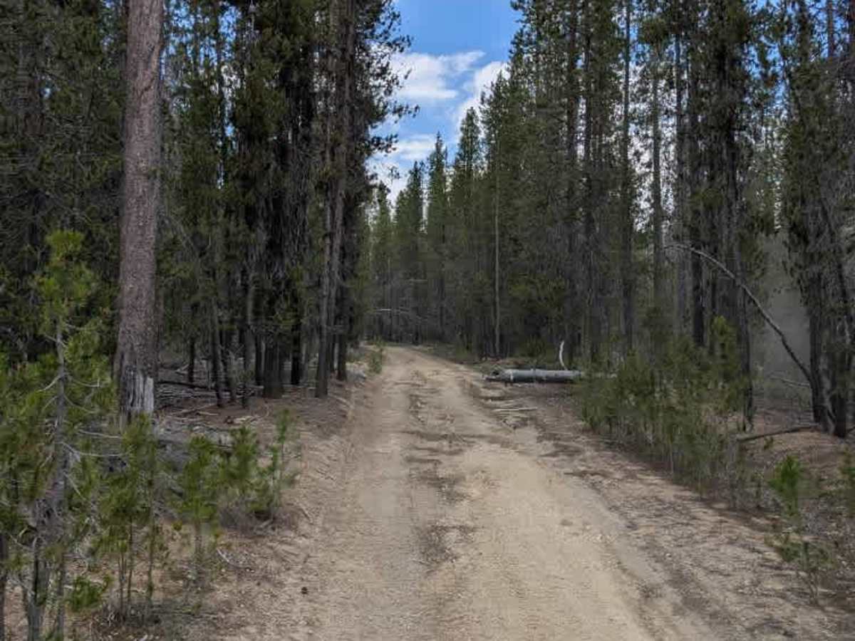
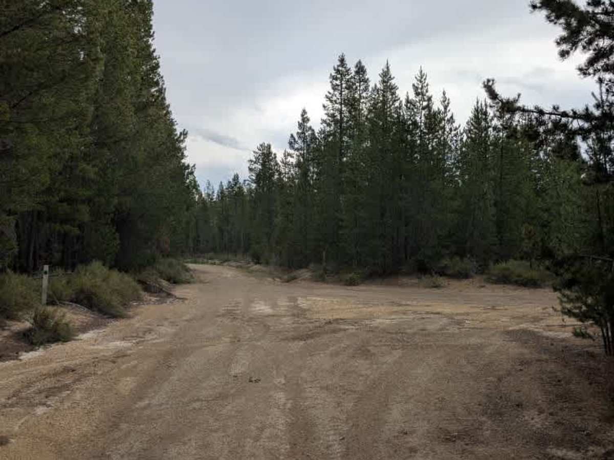
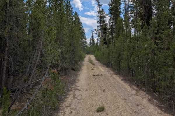
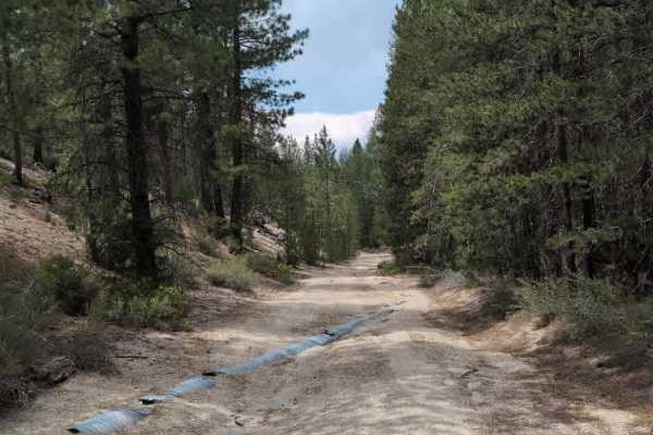
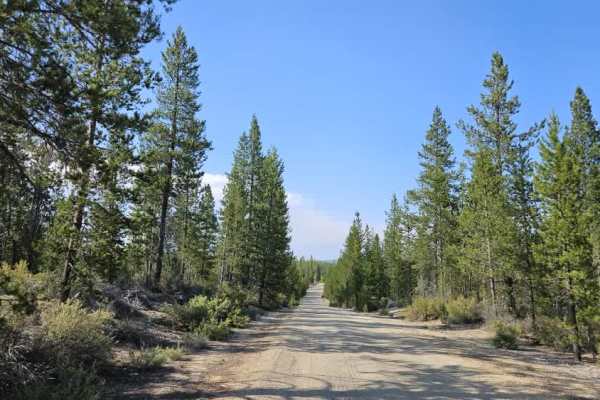
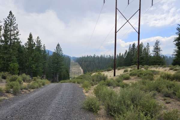
This trail is an arterial route that connects to numerous surrounding roads and remains well traveled for much of its length. The majority of the trail is relatively easy to navigate until reaching a major junction, where conditions begin to change. Beyond this point, the route becomes narrower, with increasingly deep ruts and vegetation growing closer to the trail edges. The final section becomes significantly more challenging before terminating at a Forest Development Road. The deeper ruts and tighter vegetation require more careful vehicle placement, particularly for larger vehicles. This route provides an important connection through the area, but conditions can vary depending on recent weather and trail use. ATVs, UTVs, Side-by-Sides, and Dirt Bikes must always have a valid Oregon ATV Operating Permit sticker.

Photos of FS 9407

Difficulty

The primary difficulty comes from increasingly deep ruts and tighter vegetation along the final section.

Technical Rating

2

FS 9407 Trail can be accessed by the following ride types:

  • Single Track
  • 50 Inch
  • 60 Inch
  • High Clearance
  • Full Width

FS 9407 Map

The onX Offroad Difference

onX Offroad combines trail photos, descriptions, difficulty ratings, width restrictions, seasonality, and more in a user-friendly interface. Available on all devices, with offline access and full compatibility with CarPlay and Android Auto. Discover what you're missing today!

Open Trail Map