FS 9755300

Total Miles0.8
Technical Rating
1Easy
Best TimeSpring, Summer, Fall
Trail TypeFull-Width Road
Accessible By
Open Trail Map

Trail Overview

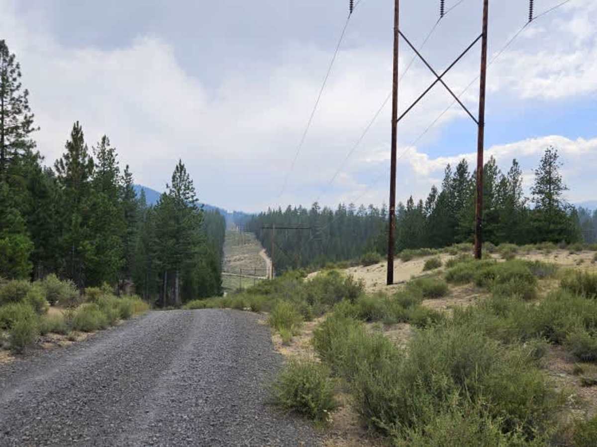
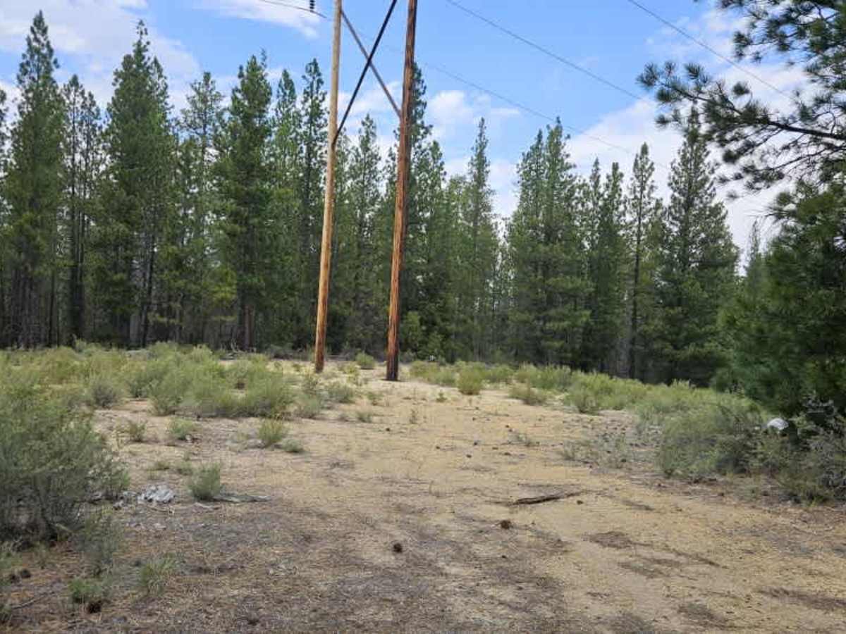
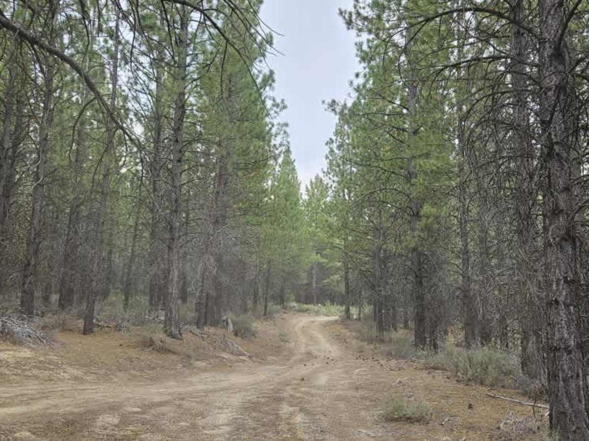
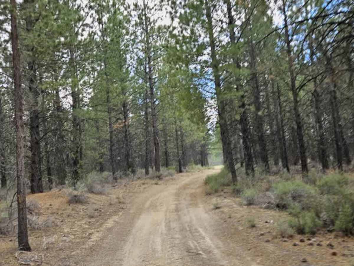
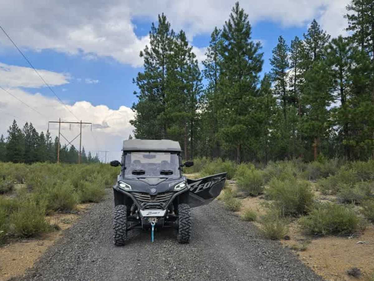
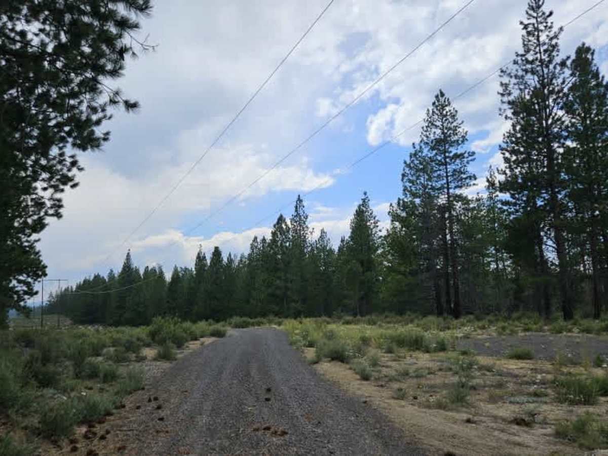
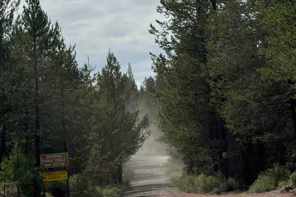
This is an enjoyable trail that follows the powerline corridor for much of its length. Gravel has been placed over several steep sections, likely for erosion control, but these climbs and descents can still be slippery. Low range is recommended when climbing the first major hill, particularly in loose conditions. The trail continues through a series of rolling ascents and descents before entering the forest. Do not attempt to continue past the end of the trail as the road is marked as closed.

Photos of FS 9755300

Difficulty

The main challenges are the steep powerline climbs and loose gravel sections that can reduce traction.

Technical Rating

1

FS 9755300 Trail can be accessed by the following ride types:

  • Single Track
  • 50 Inch
  • 60 Inch
  • High Clearance
  • Full Width

FS 9755300 Map

The onX Offroad Difference

onX Offroad combines trail photos, descriptions, difficulty ratings, width restrictions, seasonality, and more in a user-friendly interface. Available on all devices, with offline access and full compatibility with CarPlay and Android Auto. Discover what you're missing today!

Open Trail Map