Trail Overview
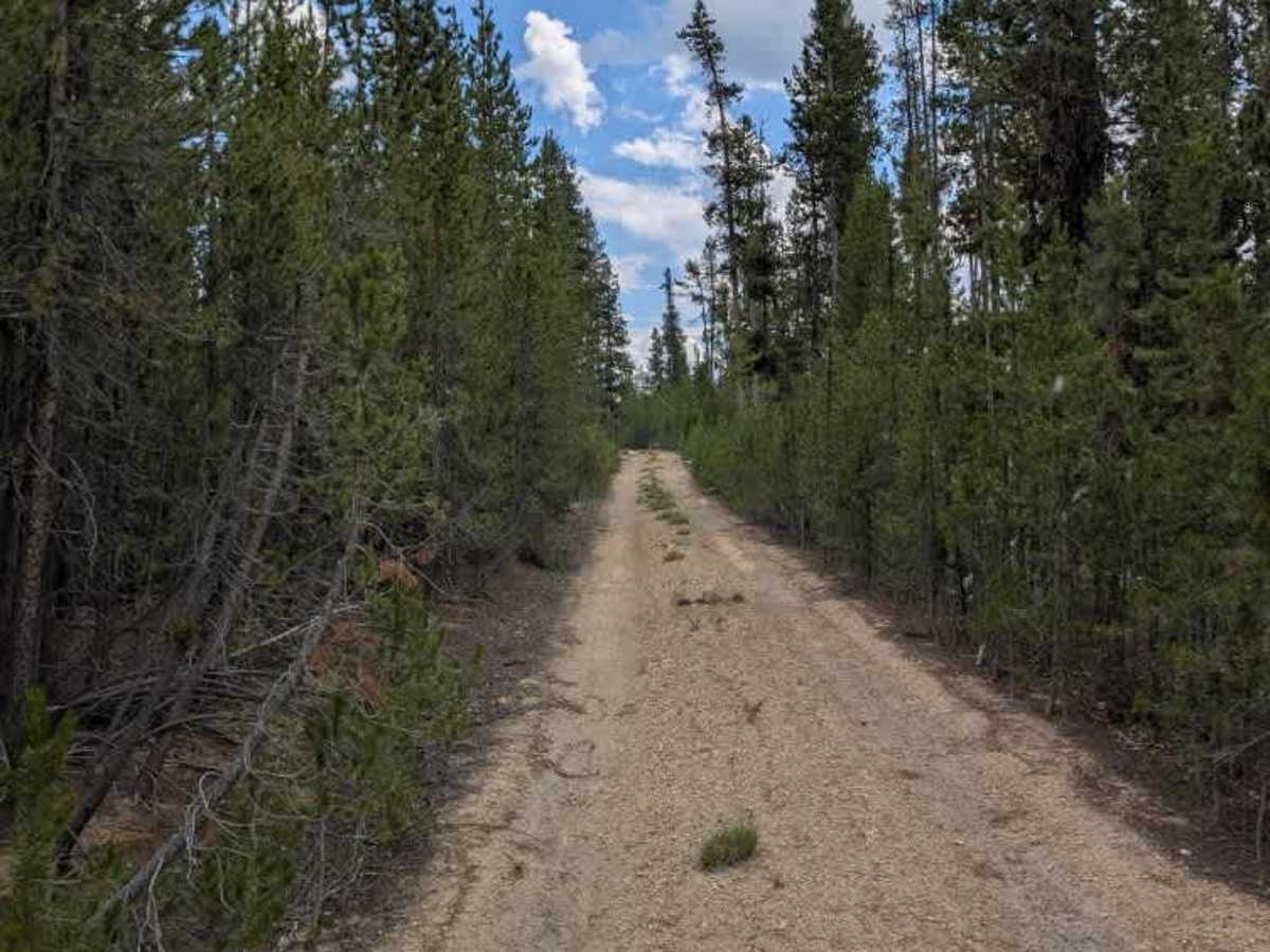
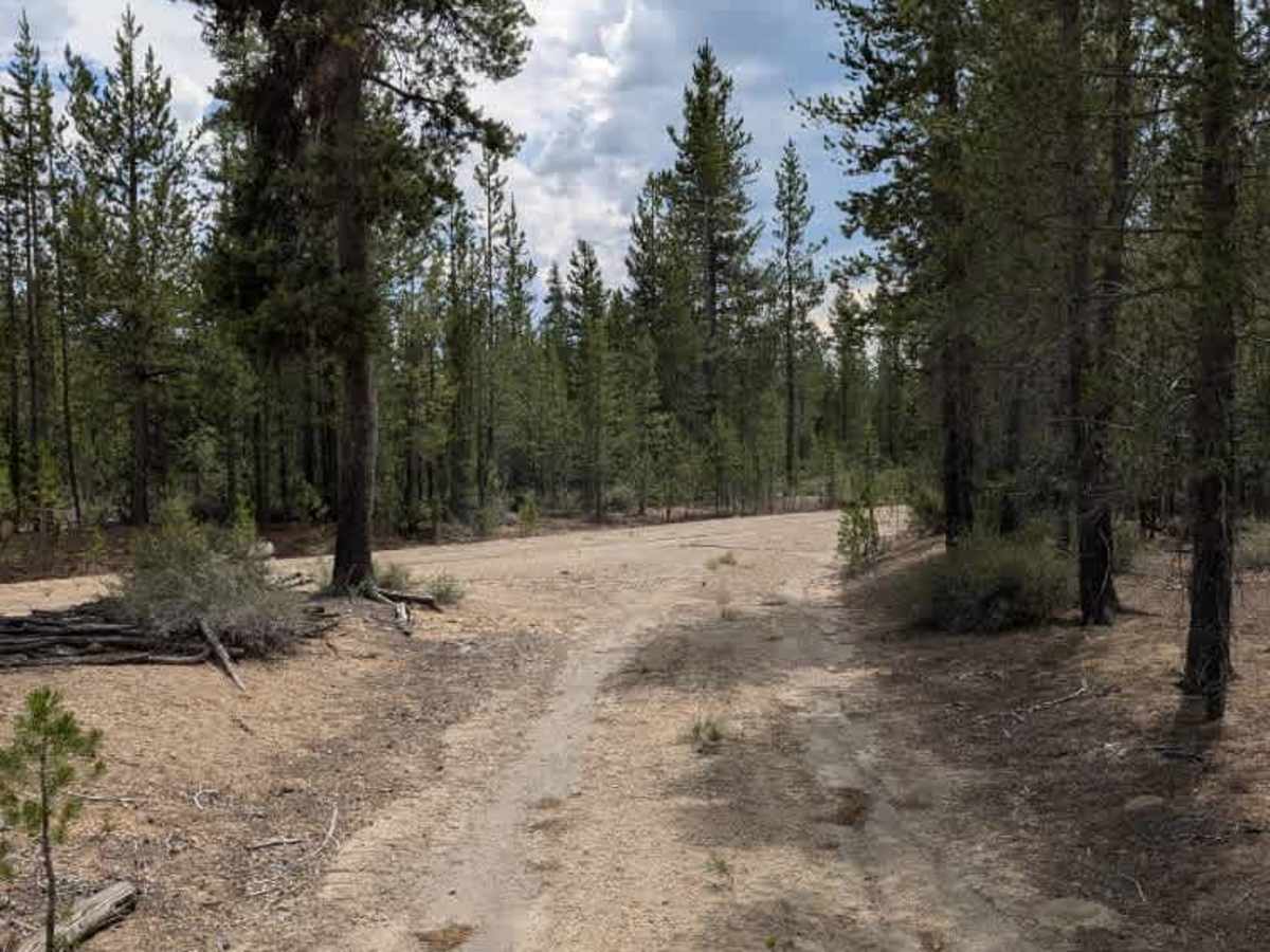
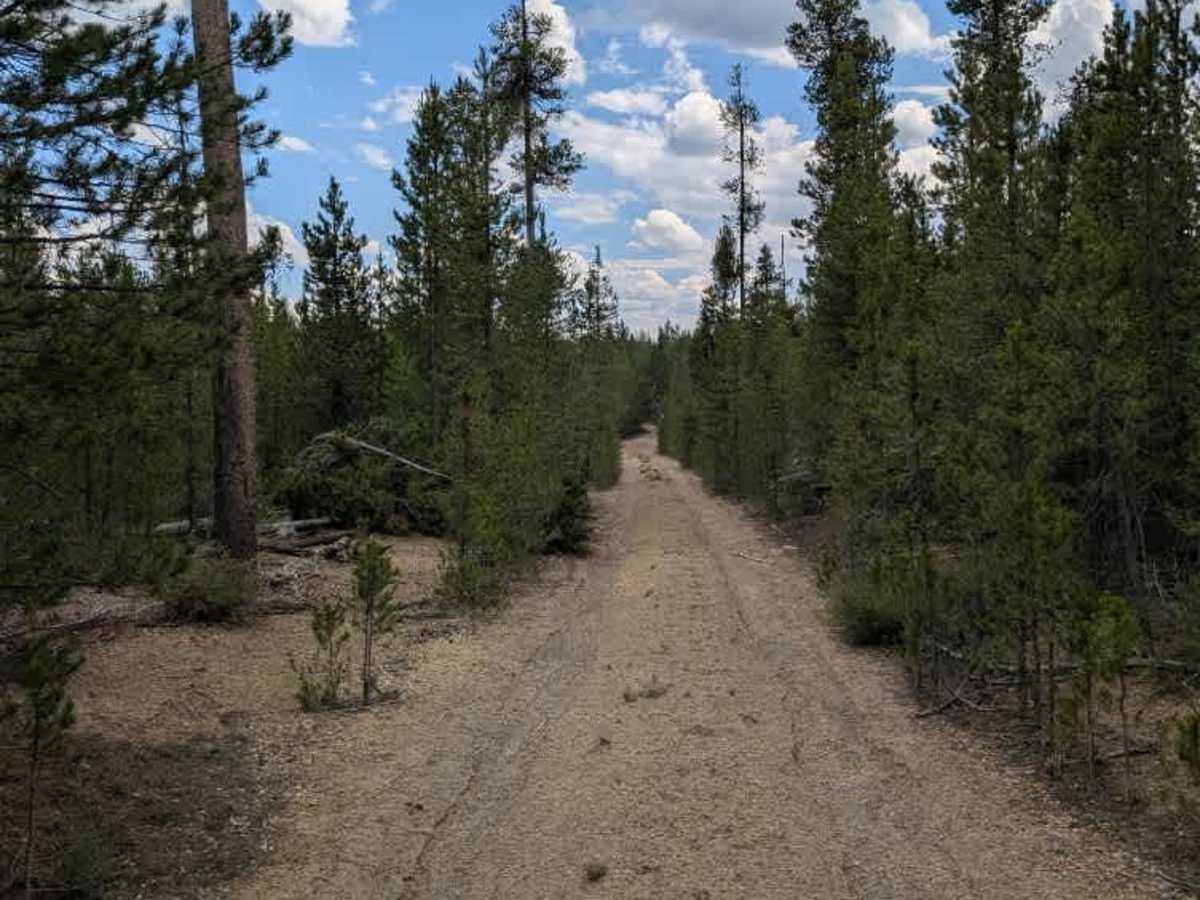
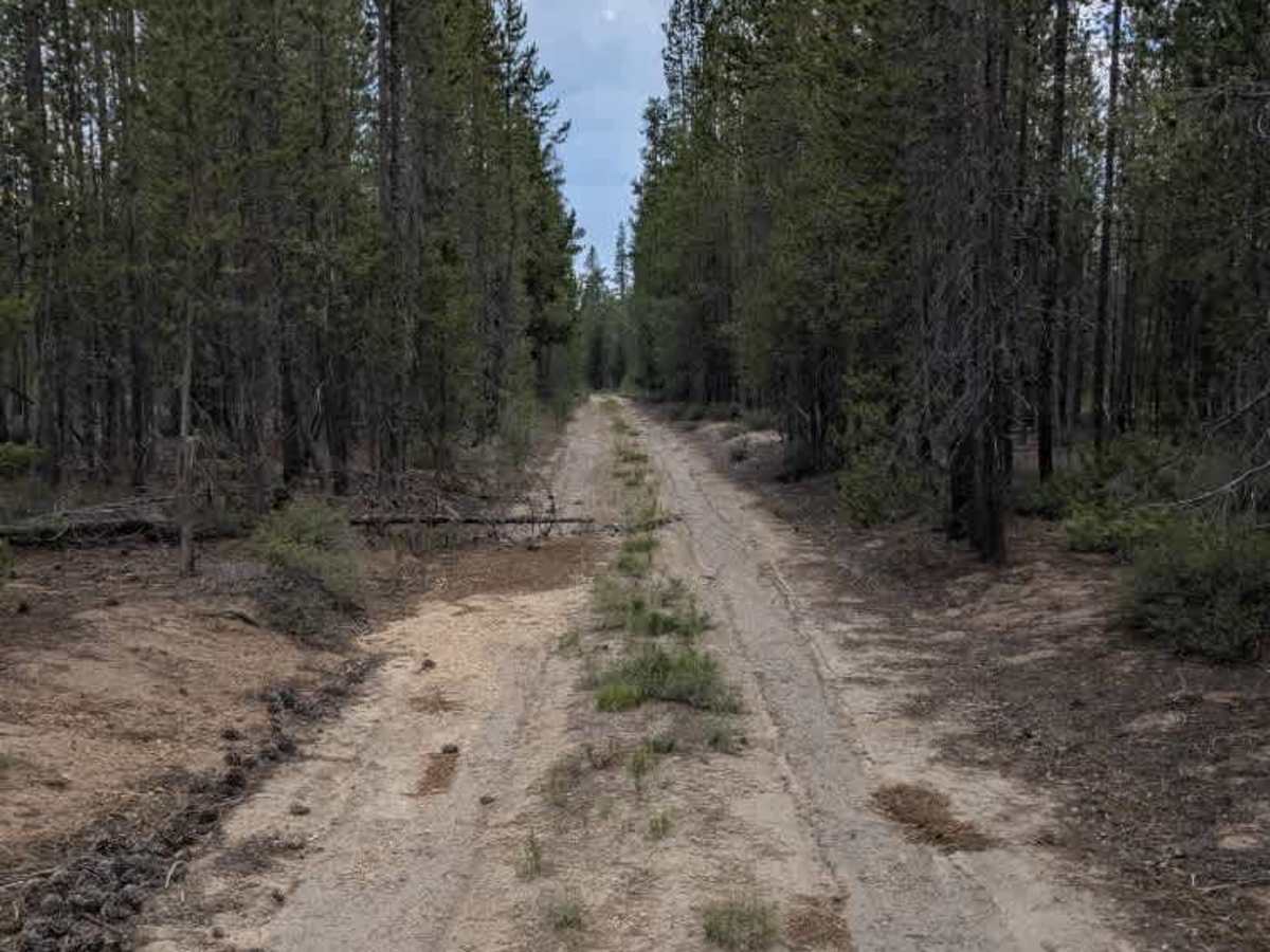
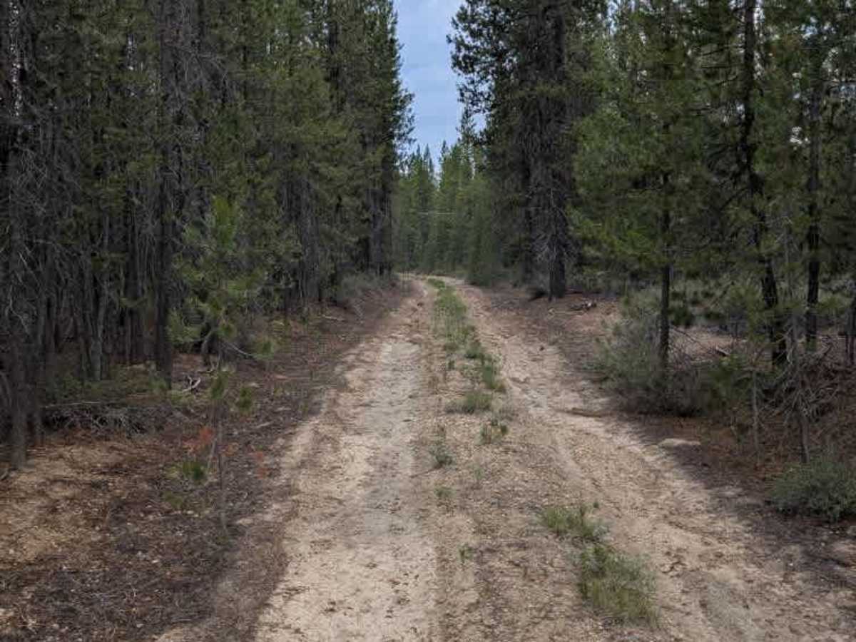
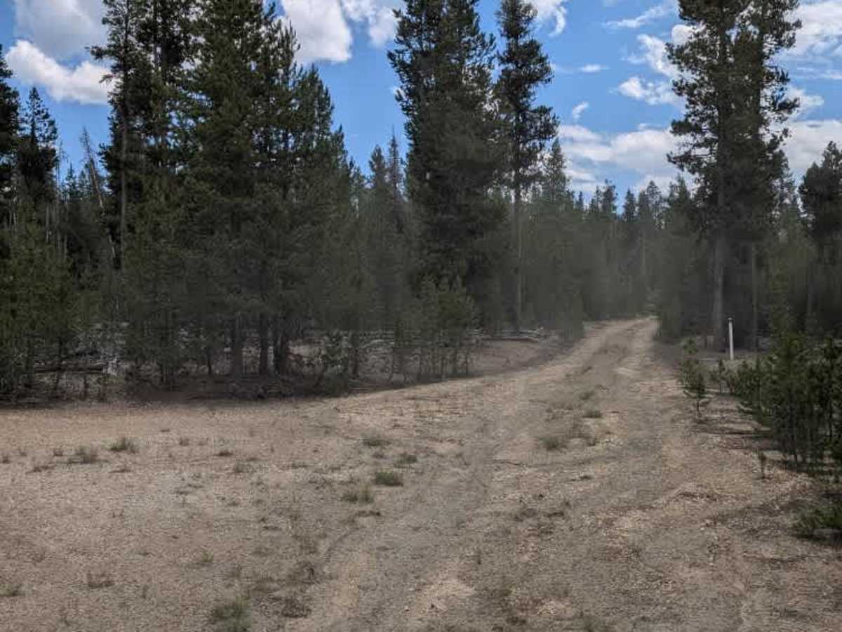
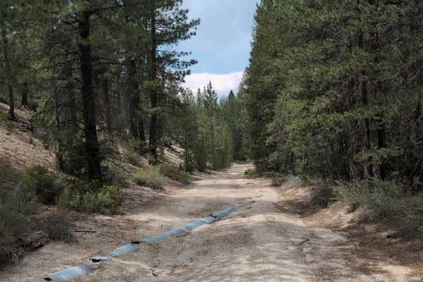
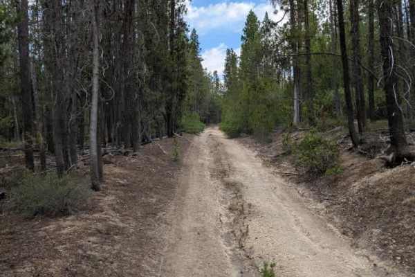
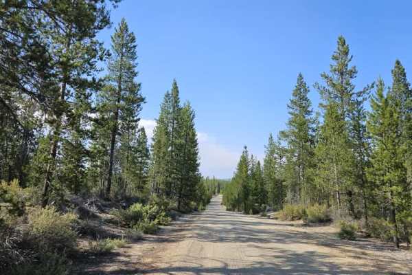
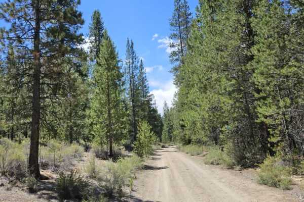
This trail is an unmanaged connector route linking two larger trails and provides a more remote alpine driving experience. The surface consists of firm sandy terrain with several deep ruts, uneven sections, and areas where water erosion appears to have damaged the trail surface. Fallen trees, overhanging branches, and occasional obstacles are present along the route, requiring careful navigation. Some sections of the trail appear to have been partially washed away, creating deeper ruts that may continue to worsen over time if erosion persists. Due to the combination of loose sand, deep ruts, and deteriorating trail conditions, this route is more challenging than a typical connector trail and requires careful line selection. Overall, this is a rugged but enjoyable trail best suited for capable off-road vehicles. ATVs, UTVs, Side-by-Sides, and Dirt Bikes must always have a valid Oregon ATV Operating Permit sticker.
Difficulty
The deep ruts, erosion damage, and uneven sandy terrain create the main challenges on this rugged trail.