FS 4502100

Total Miles1.9
Technical Rating
1Easy
Best TimeSpring, Summer, Fall
Trail TypeFull-Width Road
Accessible By
Open Trail Map

Trail Overview

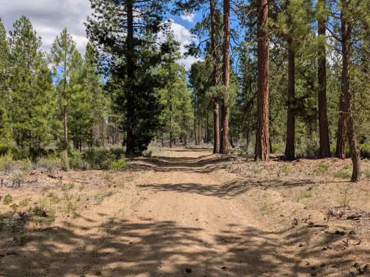
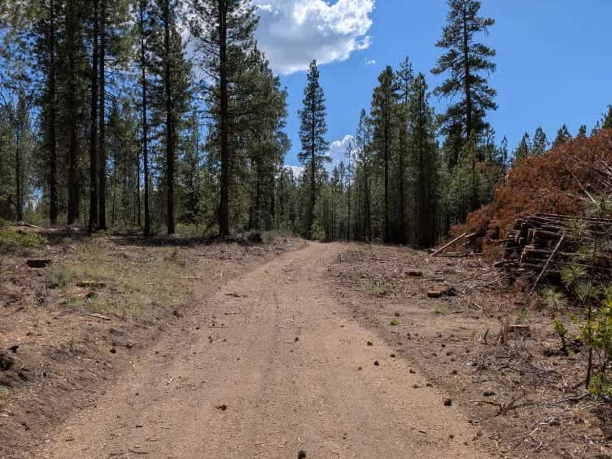
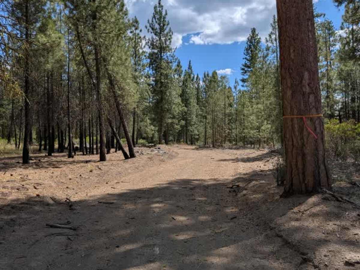
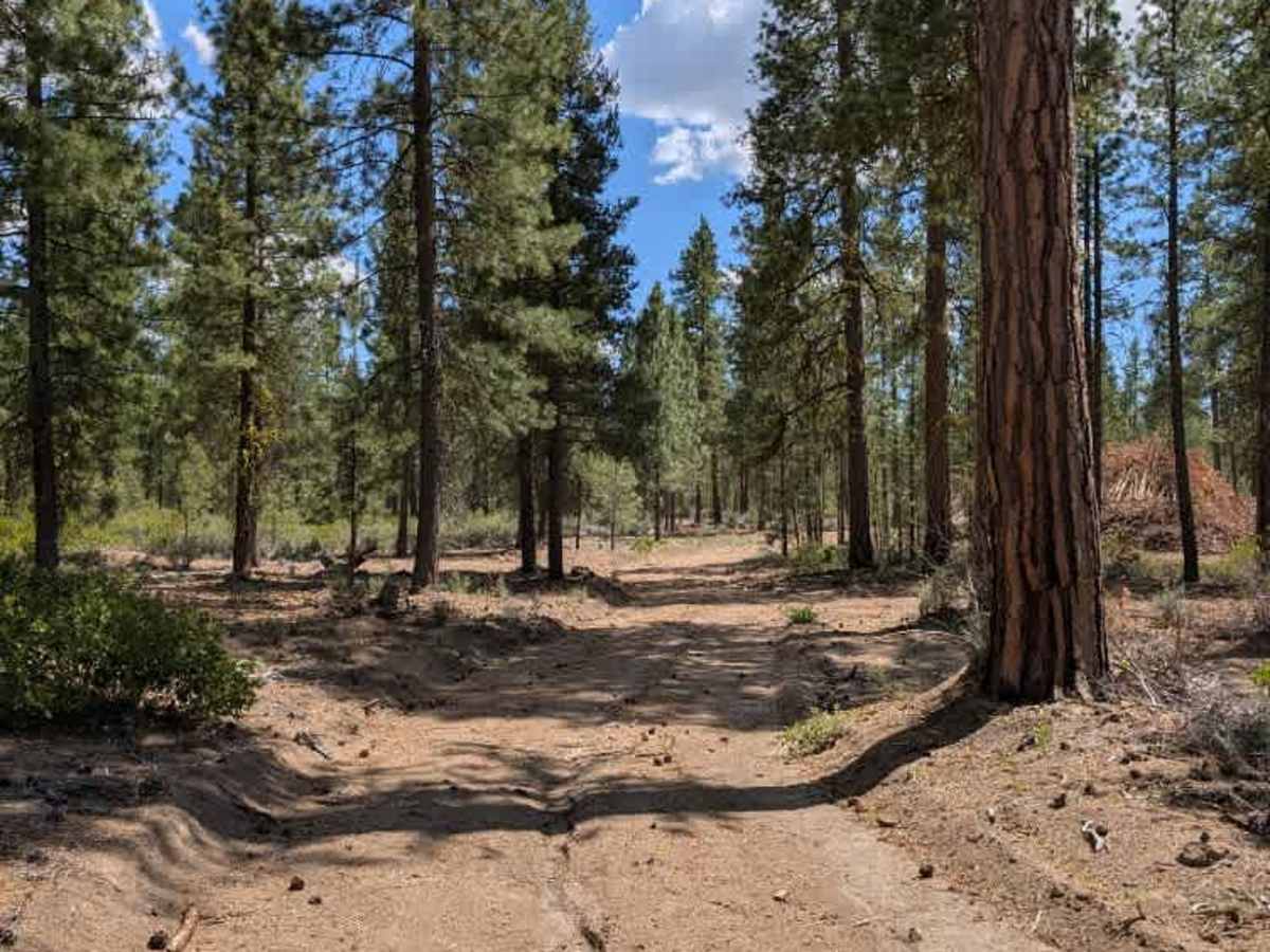
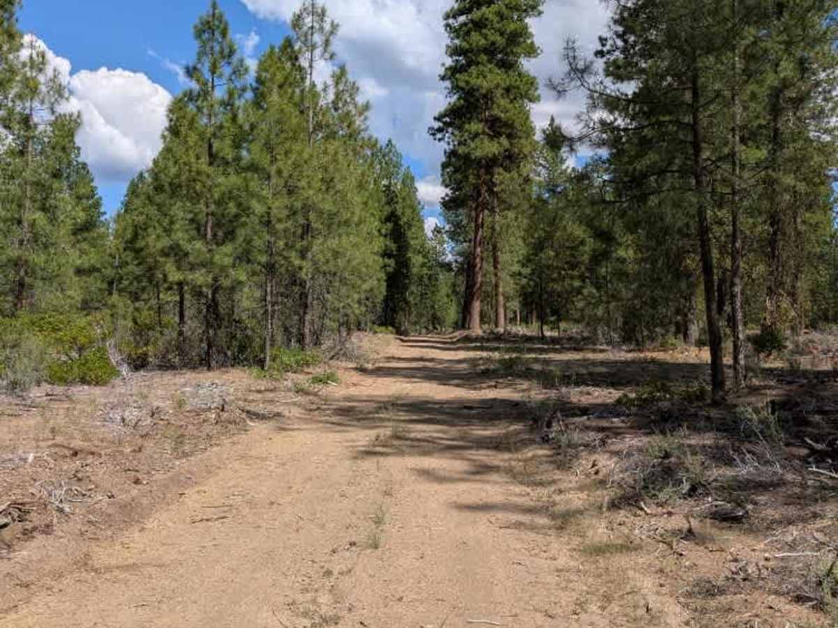
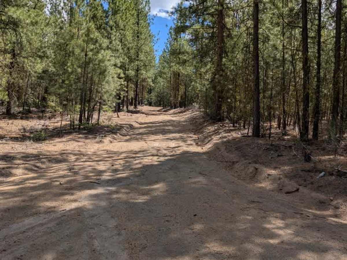
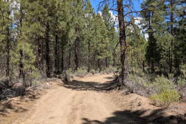
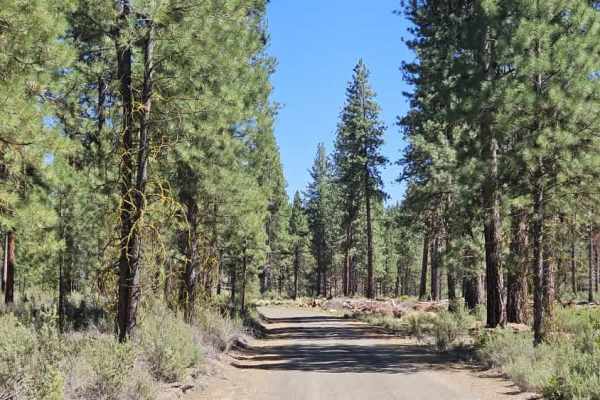
This trail is a well-traveled logging road that provides a straightforward connection between the previously mapped route and the main arterial road. The surface is primarily a mix of sand and scattered rock, with a handful of mildly uneven inclines and descents, but nothing that presents a significant challenge for most vehicles. One of the most notable features of the drive is the extensive logging activity throughout the area, with hundreds of felled trees stacked in enormous piles along both sides of the road. Please watch for logging traffic or any other working vehicles on this road. Despite the active forestry operations, the trail remains easy to follow and serves as an important connector through the surrounding forest. ATVs, UTVs, Side-by-Sides, and Dirt Bikes must always have a valid Oregon ATV Operating Permit sticker.

Photos of FS 4502100

Difficulty

The overall difficulty is low, with loose sand and scattered rocks providing the primary driving considerations when traveling down this trail.

Technical Rating

1

FS 4502100 Trail can be accessed by the following ride types:

  • Single Track
  • 50 Inch
  • 60 Inch
  • High Clearance
  • Full Width

FS 4502100 Map

The onX Offroad Difference

onX Offroad combines trail photos, descriptions, difficulty ratings, width restrictions, seasonality, and more in a user-friendly interface. Available on all devices, with offline access and full compatibility with CarPlay and Android Auto. Discover what you're missing today!

Open Trail Map