FS 4251150

Total Miles1
Technical Rating
2Easy
Best TimeSummer, Fall, Spring
Trail TypeFull-Width Road
Accessible By
Open Trail Map

Trail Overview

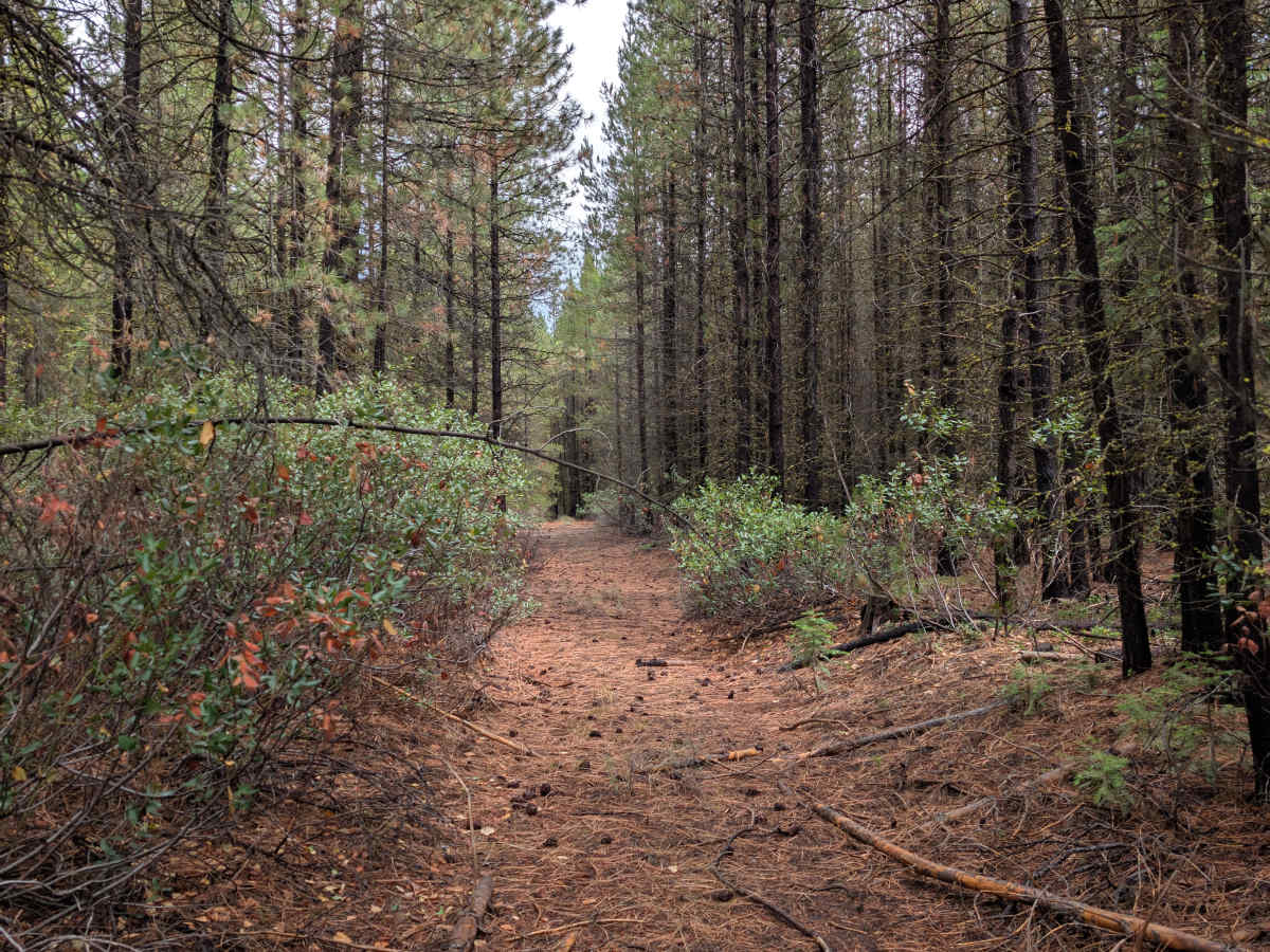
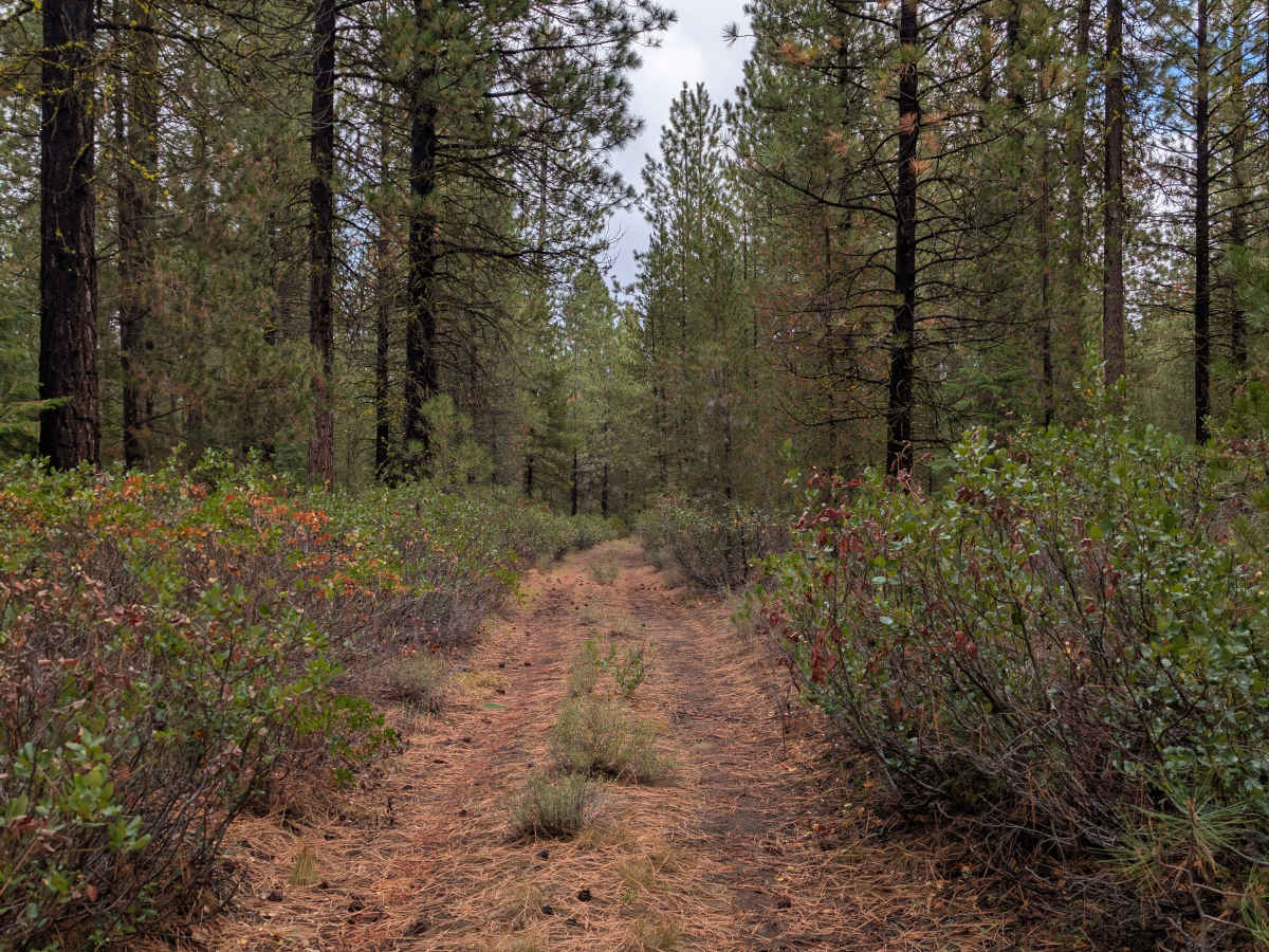
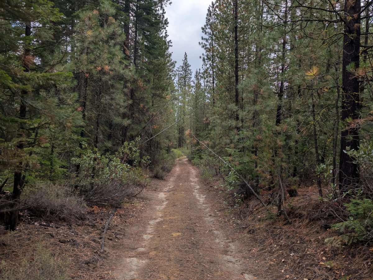
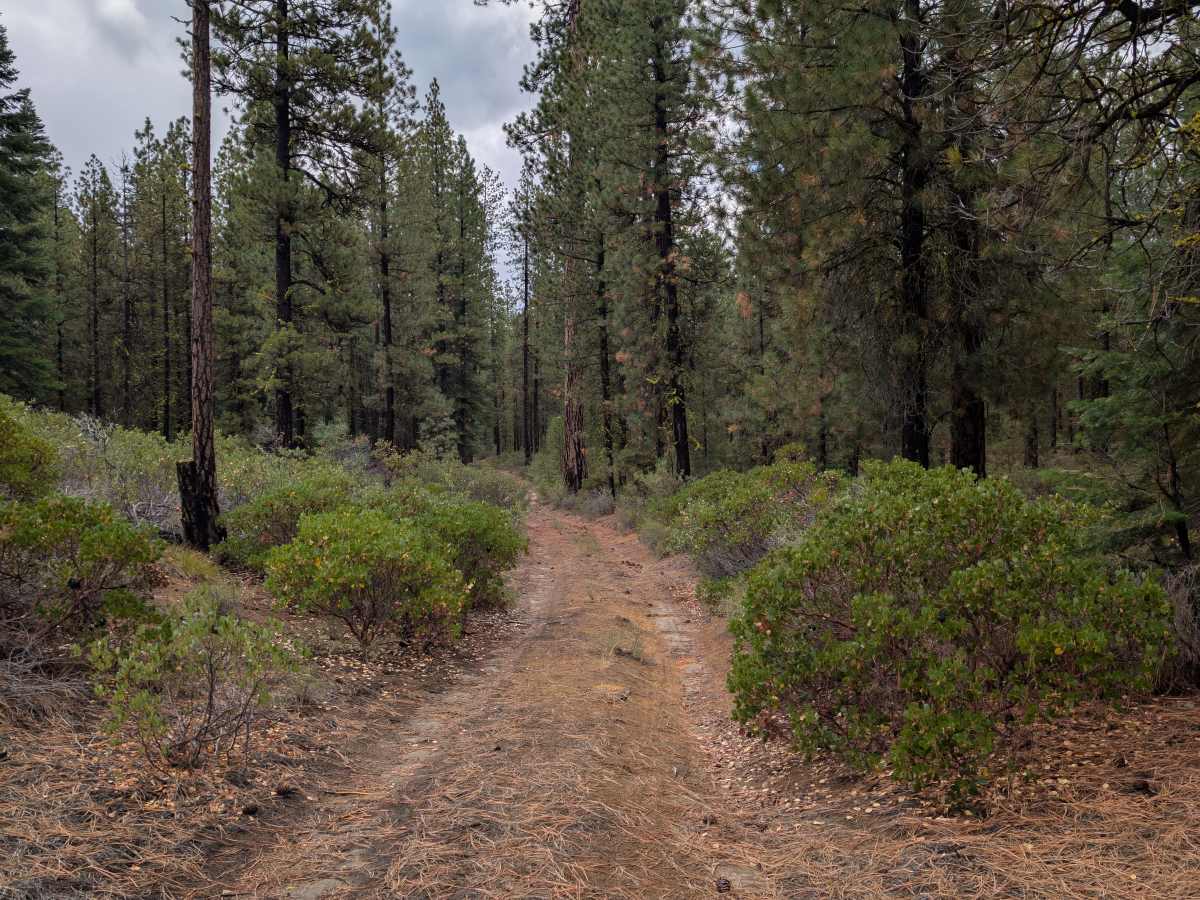
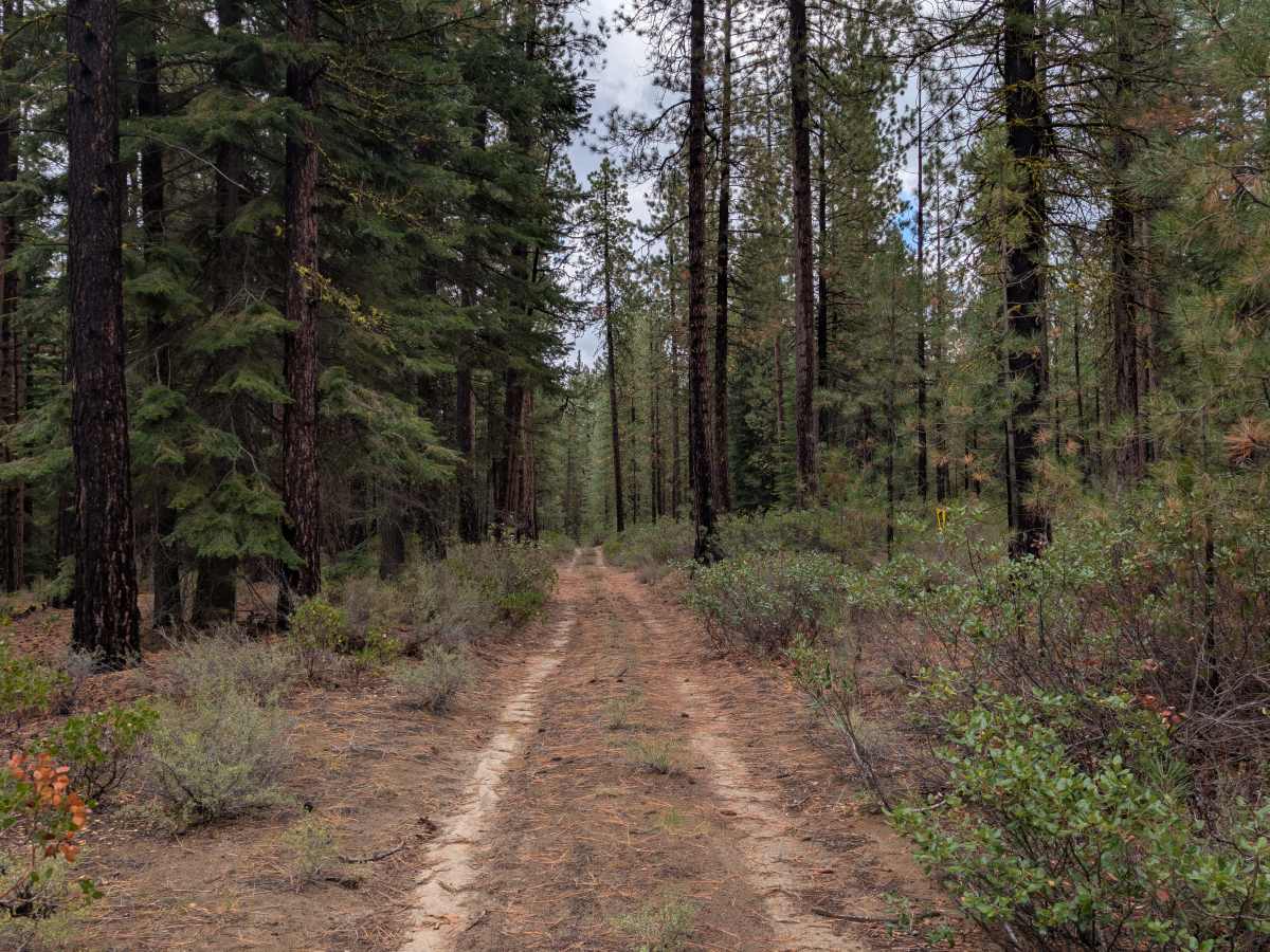
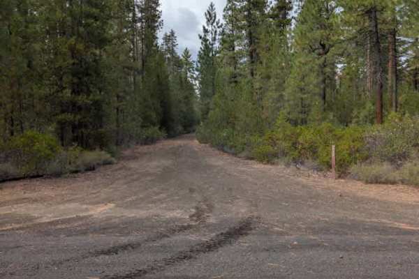
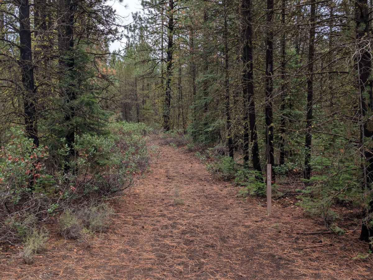
This short trail connects 4251100 with an arterial road on the north side and provides a pleasant route through the surrounding forest. The surface is primarily sandy, with some ruts and areas of water degradation along the way. When traveling from 4251100, a steeper section has exposed rocks and undergrowth where 4x4 is required to make the climb. Larger rigs should use caution through this section, while vehicles approaching from the north should have an easier time. The northern end of the trail starts out somewhat overgrown, with overhanging branches and a few logs in the roadway. These obstacles are relatively easy to drive over, but they add to the tighter conditions at the entrance. A very good dispersed campsite is also available near the southern end by 4251100, and dispersed camping is permitted along the route. The sandy surface isn’t particularly dusty under current conditions, but it can get quite dusty when the trail is dry. ATVs, UTVs, Side-by-Sides, and Dirt Bikes must always have a valid Oregon ATV Operating Permit sticker.

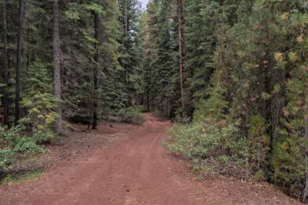
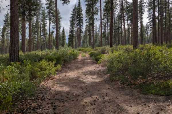
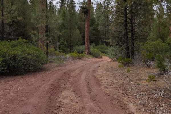
Photos of FS 4251150

Difficulty

The trail becomes more challenging through the steep, rocky section, particularly when traveling from the south.

Technical Rating

2

FS 4251150 Trail can be accessed by the following ride types:

  • Single Track
  • 50 Inch
  • 60 Inch
  • High Clearance
  • Full Width

FS 4251150 Map

The onX Offroad Difference

onX Offroad combines trail photos, descriptions, difficulty ratings, width restrictions, seasonality, and more in a user-friendly interface. Available on all devices, with offline access and full compatibility with CarPlay and Android Auto. Discover what you're missing today!

Open Trail Map