Trail Overview
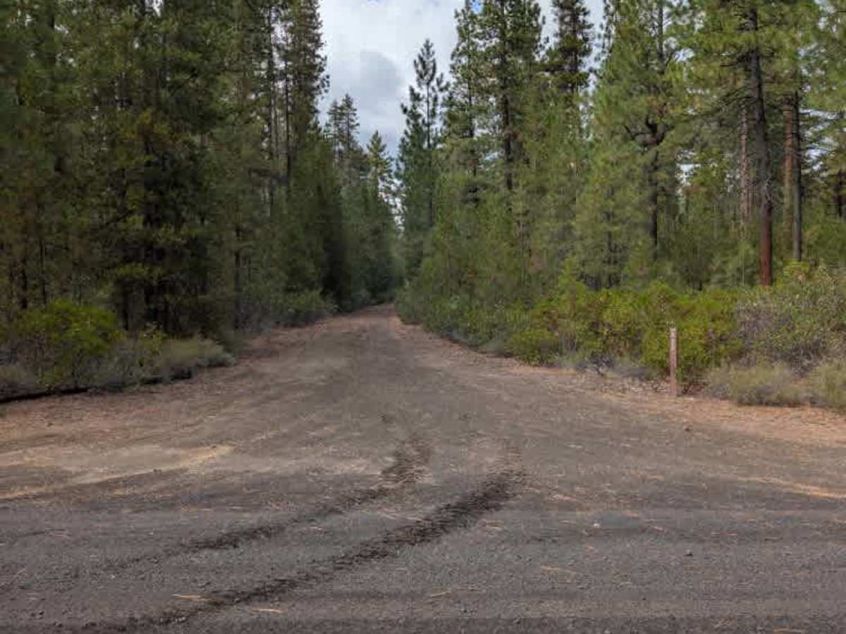
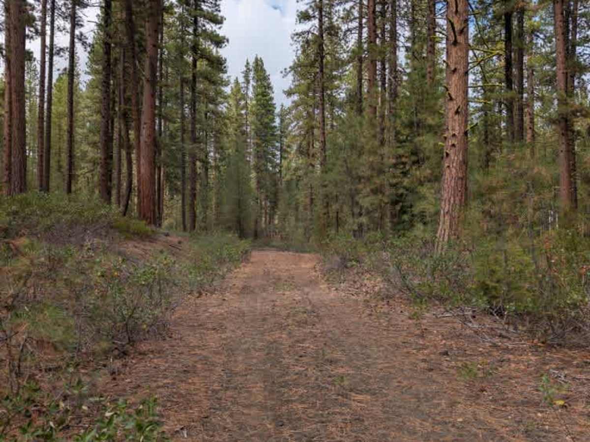
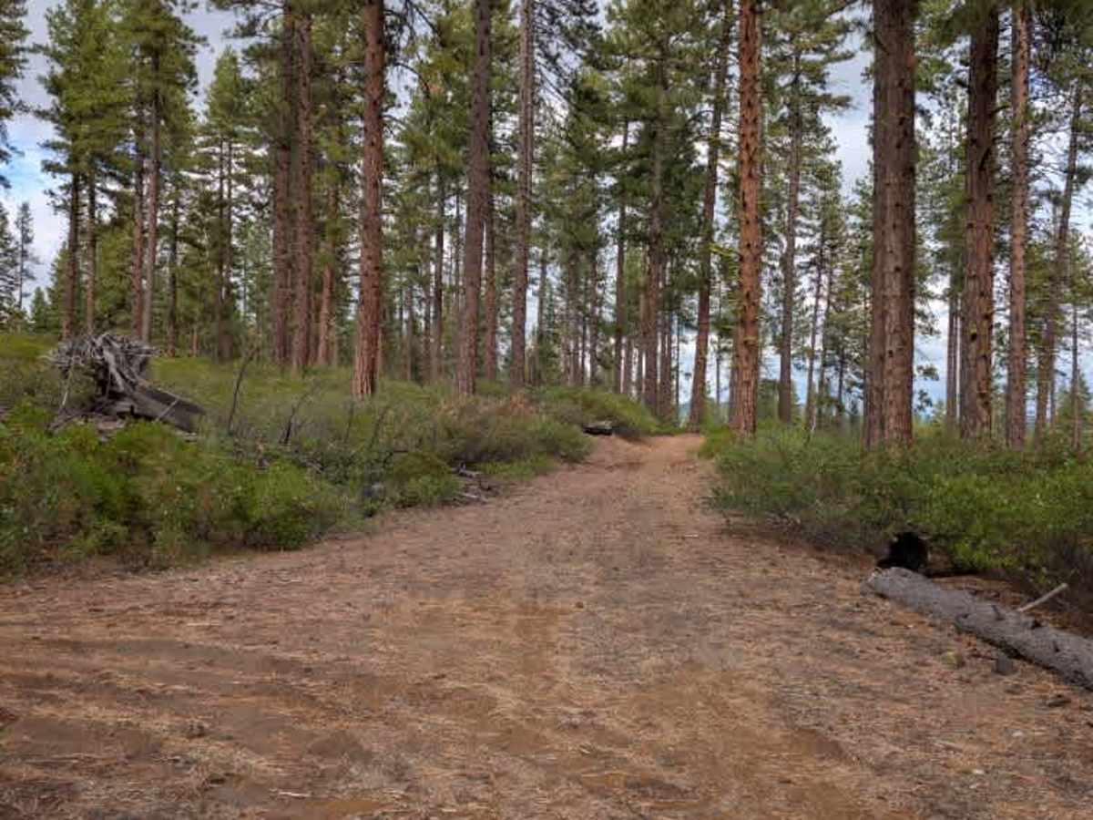
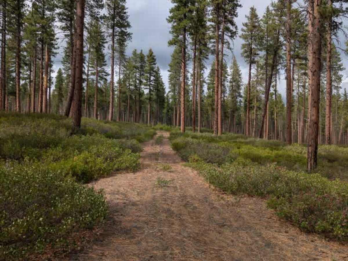
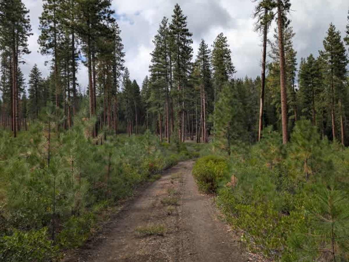
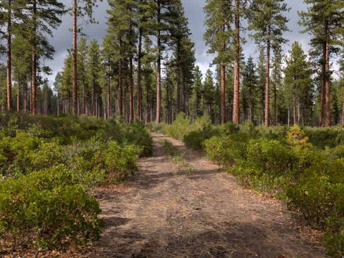
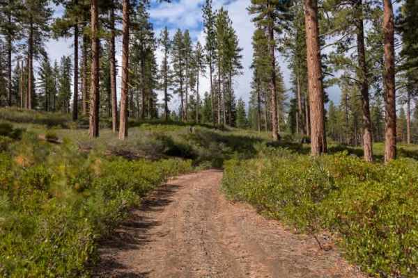
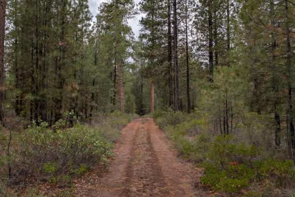
This connective trail links two arterial routes and provides a fairly simple passage between them. Although the road is not maintained, some fallen debris has been cleared from the main travel path. The trail begins in a wooded section before transitioning into an area with thicker, low-lying shrubbery. As the vegetation becomes denser, bushes encroach on the roadway, creating tighter sections and making it important to watch for obstacles hidden in the surrounding growth. The route starts with some gravel but is primarily a sandy dirt trail for most of its length. Some ruts and uneven sections appear along the way, along with a few tighter areas where vegetation narrows the available space. ATVs, UTVs, Side-by-Sides, and Dirt Bikes must always have a valid Oregon ATV Operating Permit sticker.
Difficulty
The trail is generally easy, with some ruts, uneven sections, and tighter areas from encroaching vegetation.