FS 4240400

Total Miles1.6
Technical Rating
2Easy
Best TimeSummer, Fall, Spring
Trail TypeFull-Width Road
Accessible By
Open Trail Map

Trail Overview

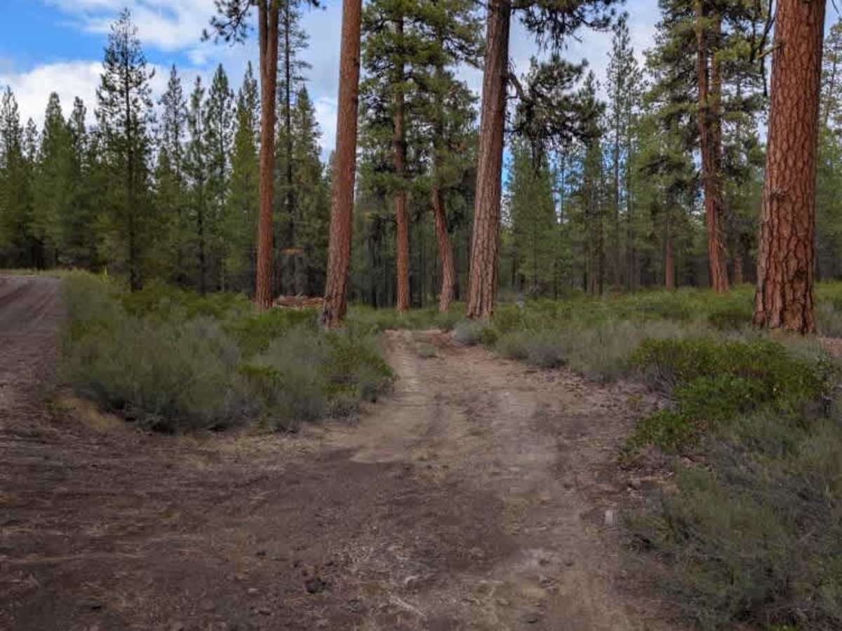
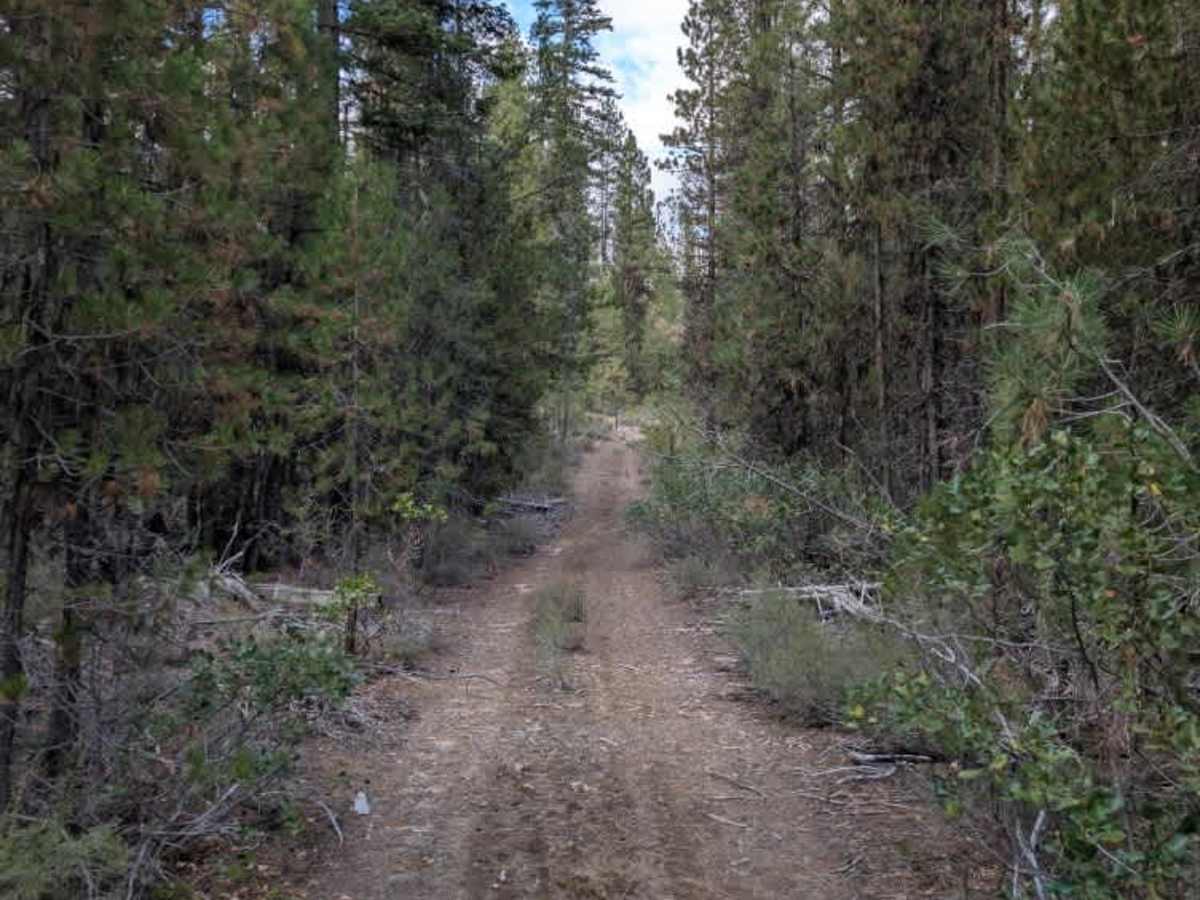
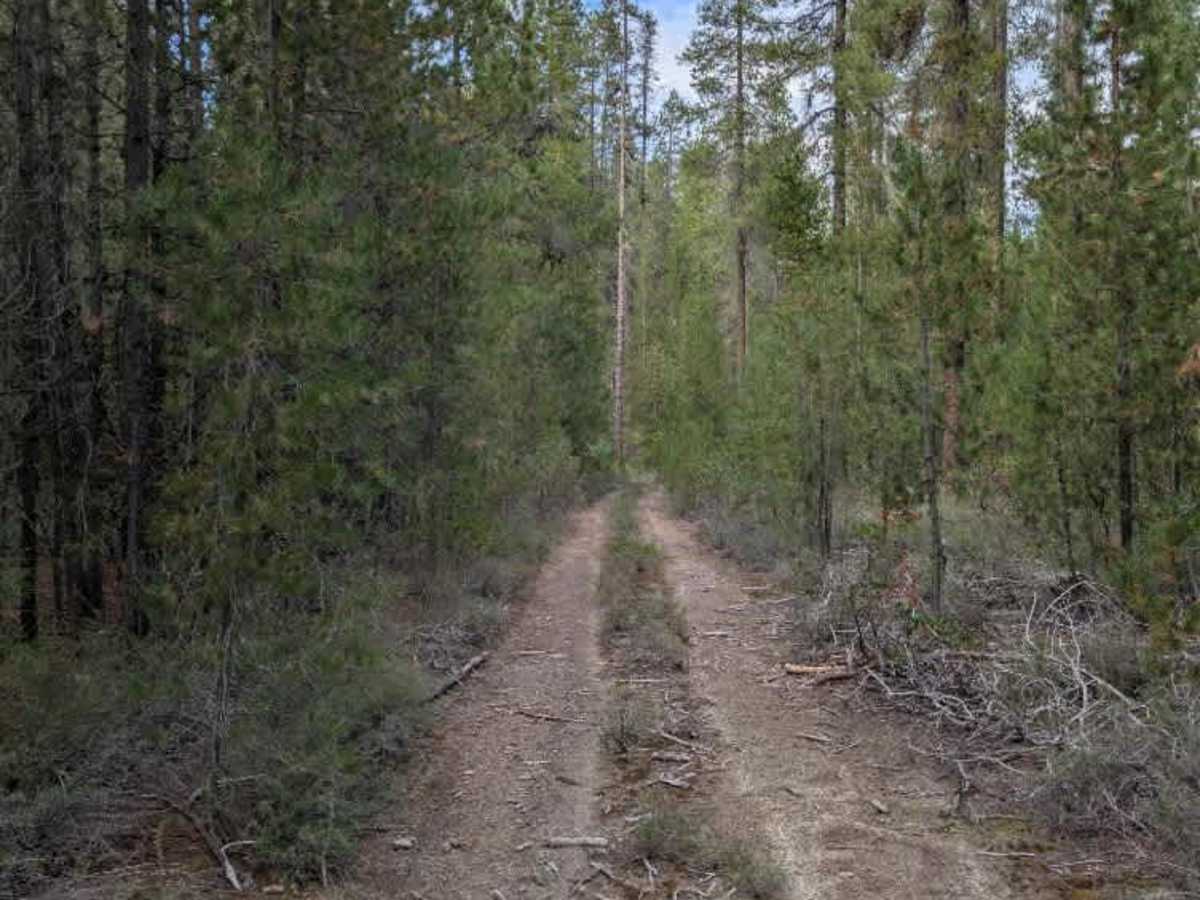
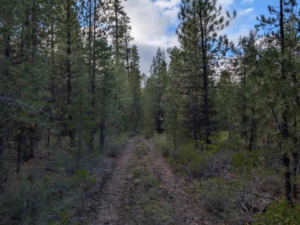
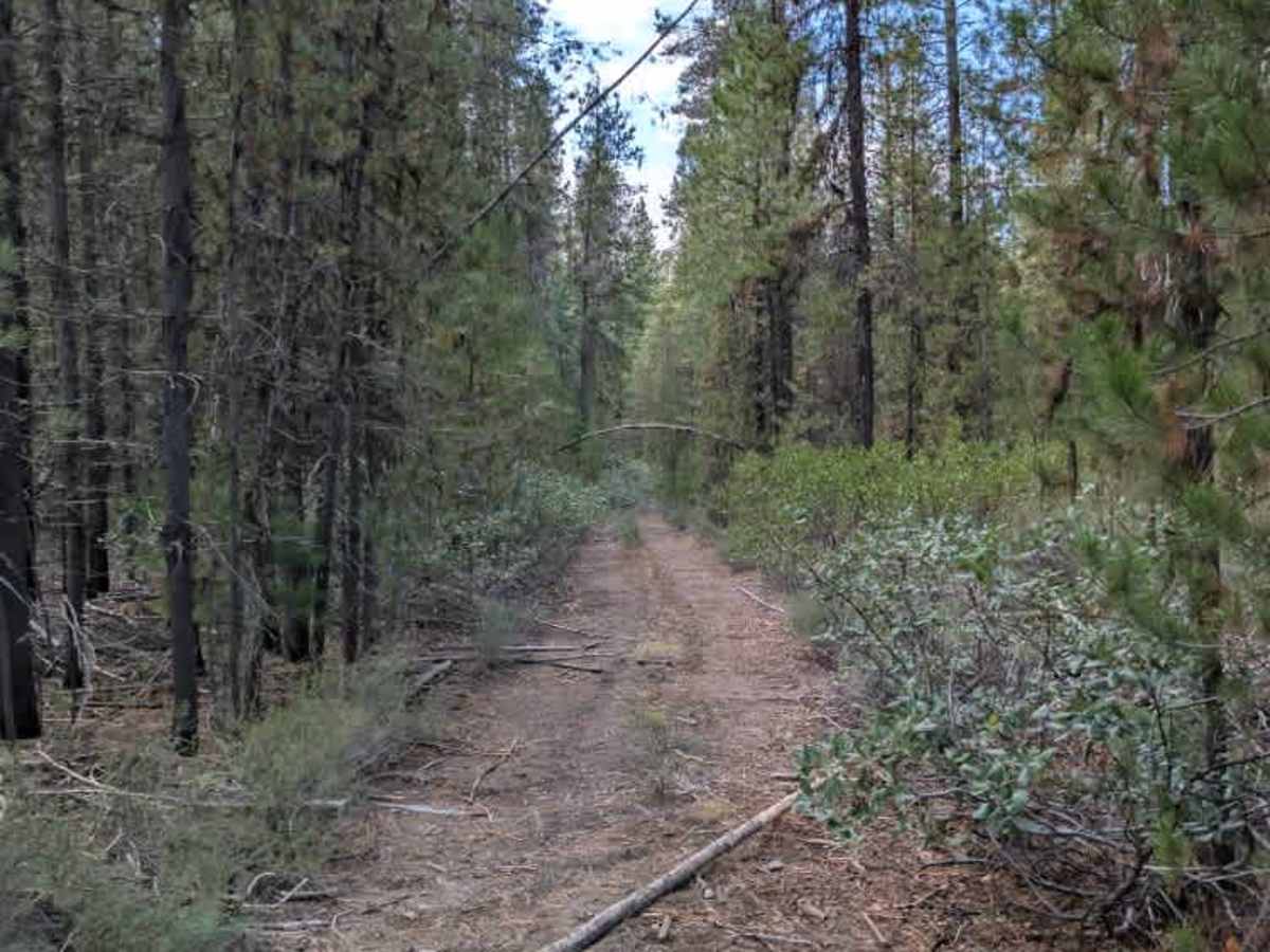
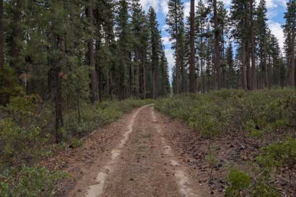
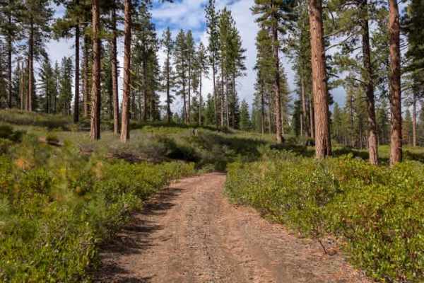
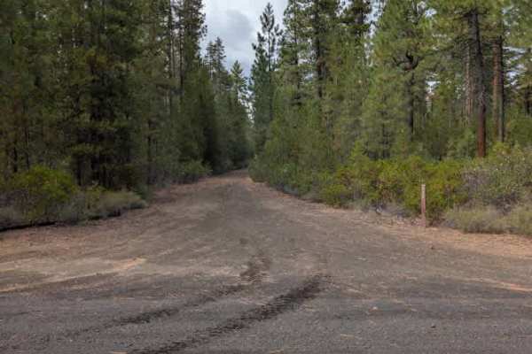
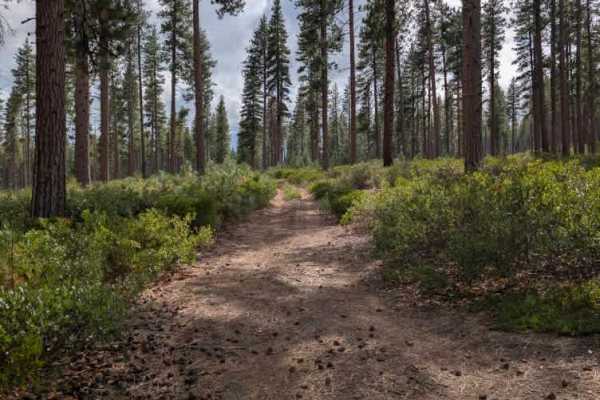
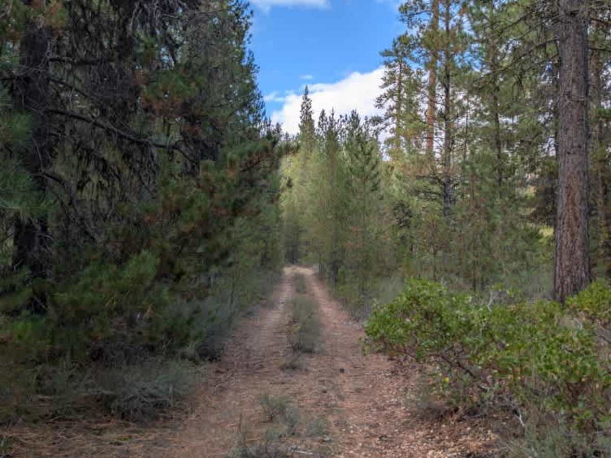
This unmaintained road appears to be used for personal firewood collection, with numerous downed trees that show signs of having been cut. Most of the trees have been cleared from the travel path, although several logs remain on the road. Most are relatively small and can either be avoided or driven over with caution. The trail begins with a gravel surface, then transitions to dirt and eventually becomes increasingly covered in loose rock as it climbs the hillside. A few offshoots along the route offer potential dispersed camping areas. The trail ultimately terminates at an intersection where both directions are fully overgrown and no longer passable. ATVs, UTVs, Side-by-Sides, and Dirt Bikes must always have a valid Oregon ATV Operating Permit sticker.

Photos of FS 4240400

Difficulty

The trail is generally easy, with loose rock and scattered logs adding some minor difficulty.

Technical Rating

2

FS 4240400 Trail can be accessed by the following ride types:

  • Single Track
  • 50 Inch
  • 60 Inch
  • High Clearance
  • Full Width

FS 4240400 Map

The onX Offroad Difference

onX Offroad combines trail photos, descriptions, difficulty ratings, width restrictions, seasonality, and more in a user-friendly interface. Available on all devices, with offline access and full compatibility with CarPlay and Android Auto. Discover what you're missing today!

Open Trail Map