FS 4040550

Total Miles1.3
Technical Rating
1Easy
Best TimeSpring, Summer, Fall
Trail TypeFull-Width Road
Accessible By
Open Trail Map

Trail Overview

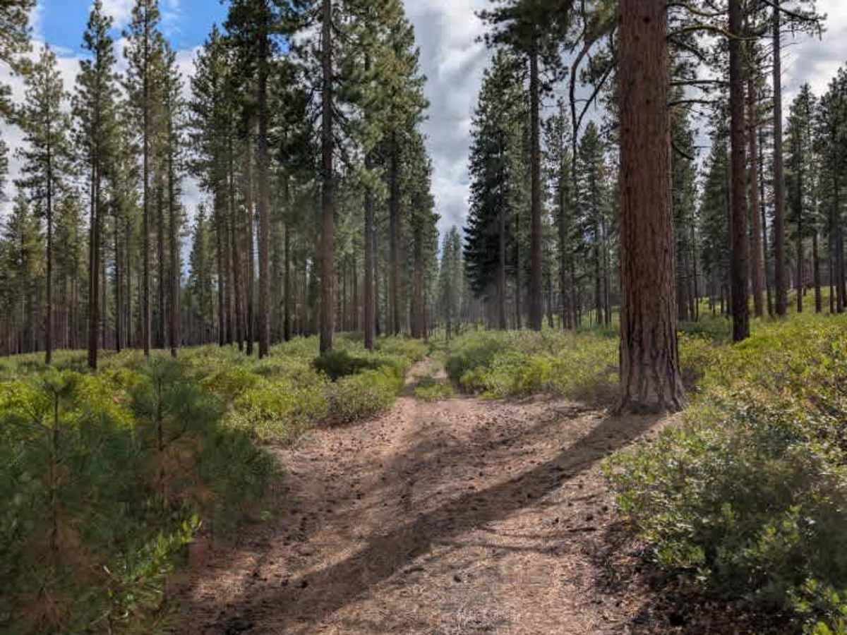
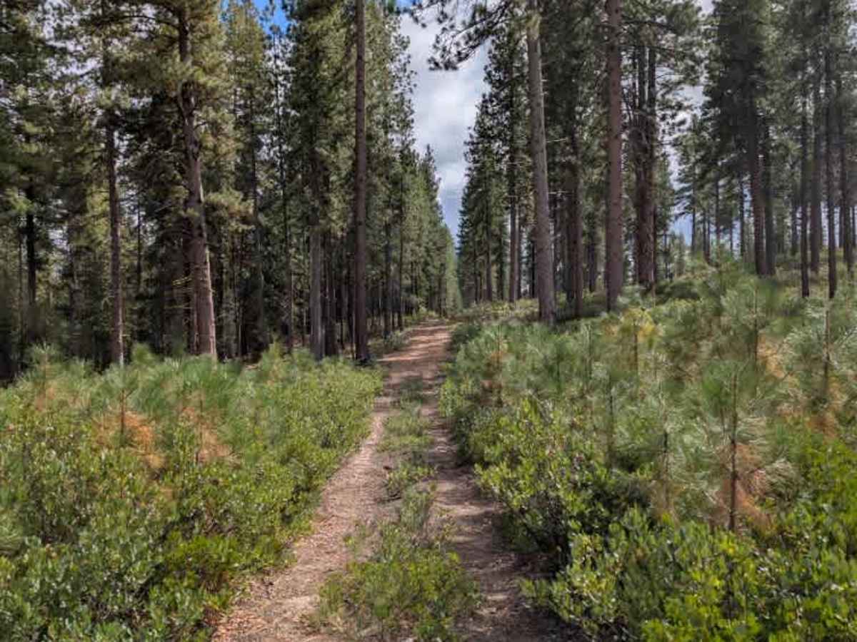
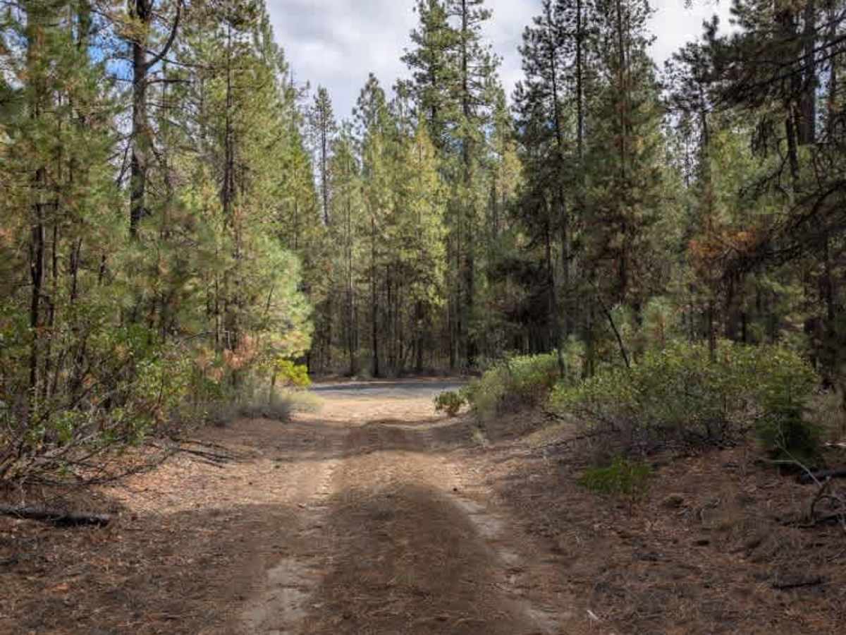
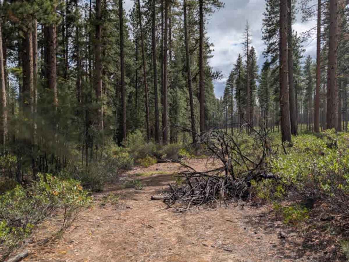
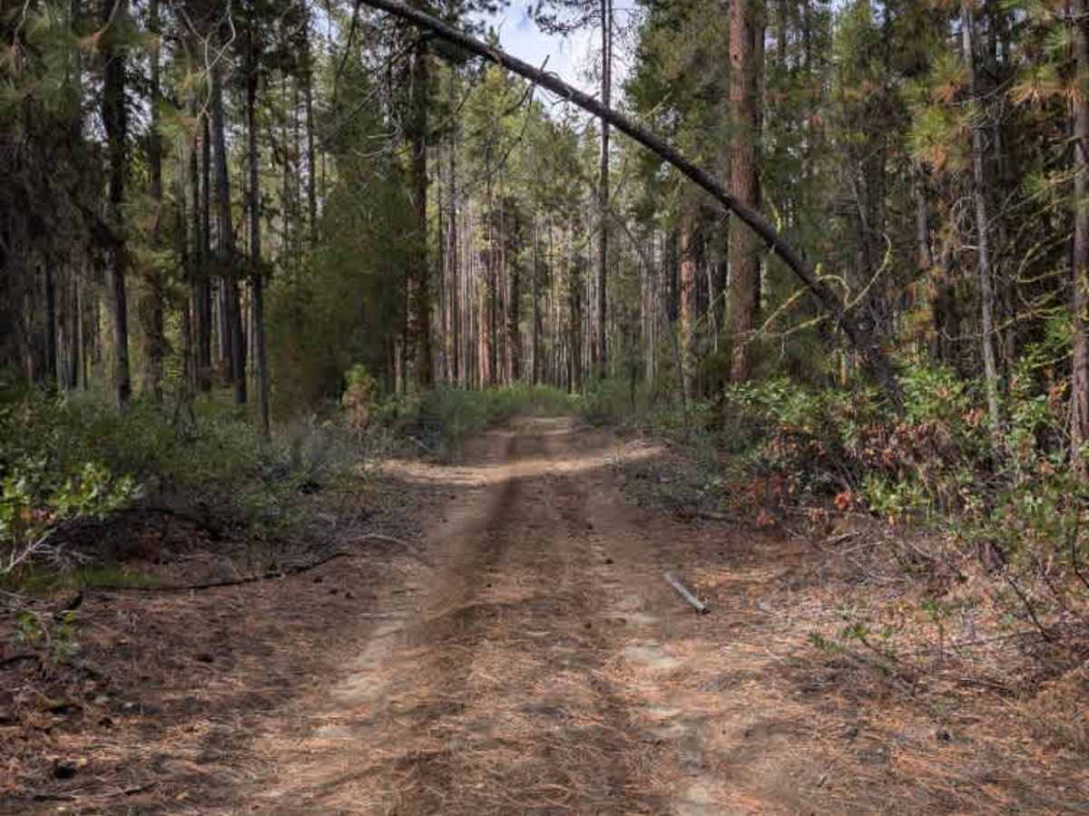
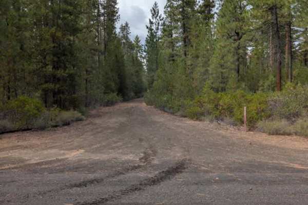
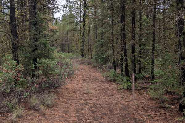
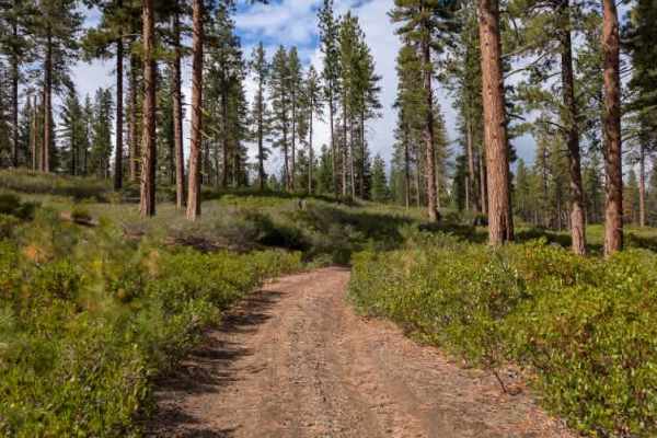
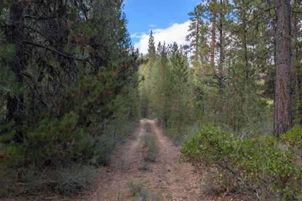
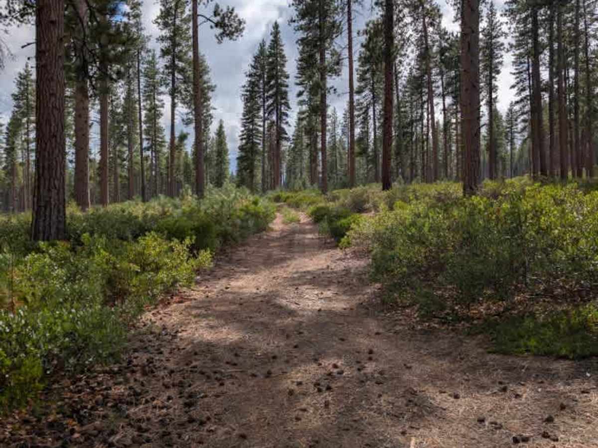
This alpine connector trail is primarily gravel and runs from an open, shrub-covered area on the east side into a wooded section before meeting an arterial road. The route has some ruts and narrows in places as lush green bushes encroach on the roadway. A fallen tree blocks part of the path, but a bypass lets full-size rigs get through. Larger vehicles should expect some pinstriping from the surrounding bushes. When approaching from the east, the route can also be accessed from 4245130 or 530. The 130 is small, narrow, and washed out, so the 530 is the better approach. Dispersed camping is permitted, although there were only one or two small clearings along the trail, and none appeared large enough to accommodate a full-size vehicle. ATVs, UTVs, Side-by-Sides, and Dirt Bikes must always have a valid Oregon ATV Operating Permit sticker.

Photos of FS 4040550

Difficulty

The trail is generally easy, with some ruts, narrow sections, and encroaching vegetation requiring extra attention.

Technical Rating

1

FS 4040550 Trail can be accessed by the following ride types:

  • Single Track
  • 50 Inch
  • 60 Inch
  • High Clearance
  • Full Width

FS 4040550 Map

The onX Offroad Difference

onX Offroad combines trail photos, descriptions, difficulty ratings, width restrictions, seasonality, and more in a user-friendly interface. Available on all devices, with offline access and full compatibility with CarPlay and Android Auto. Discover what you're missing today!

Open Trail Map