FS 4250250

Total Miles1.4
Technical Rating
2Easy
Best TimeSpring, Summer, Fall
Trail TypeFull-Width Road
Accessible By
Open Trail Map

Trail Overview

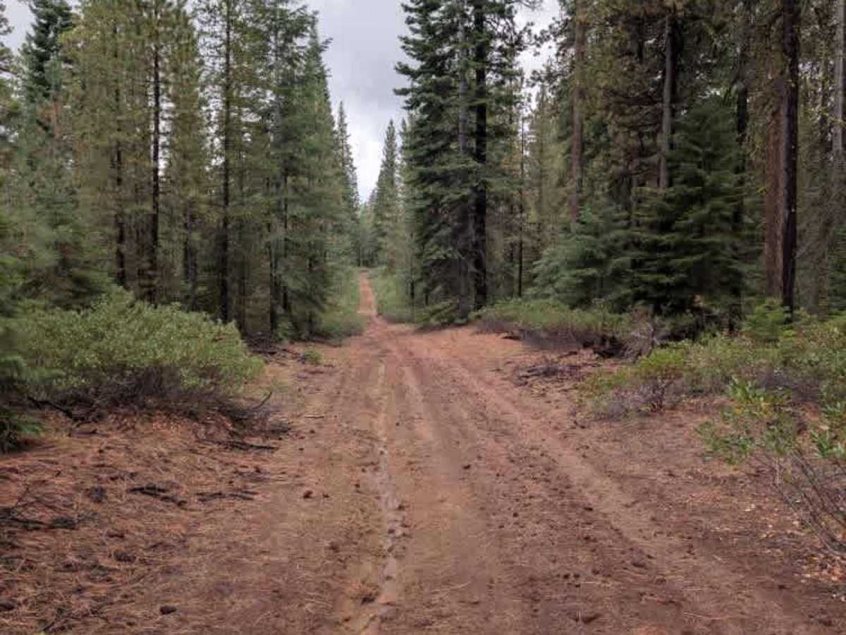
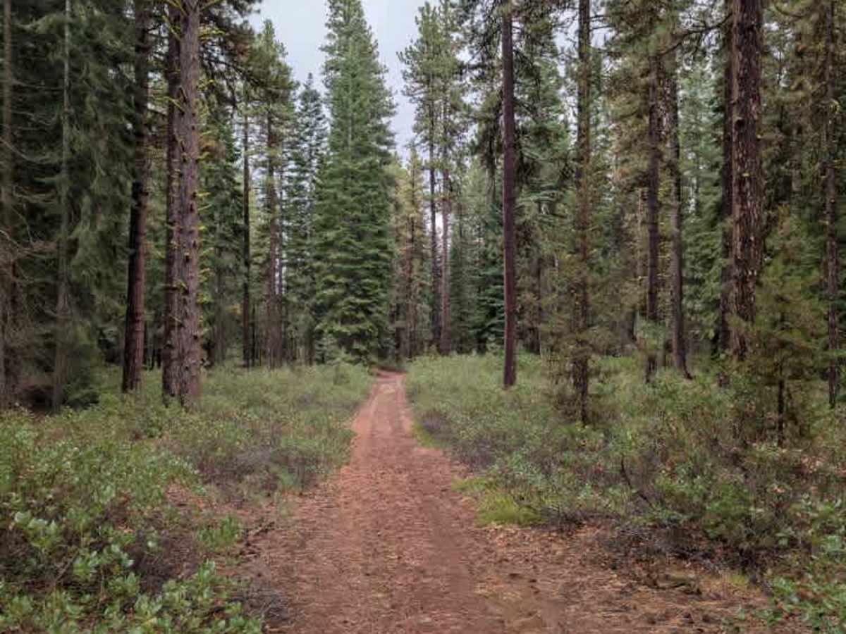
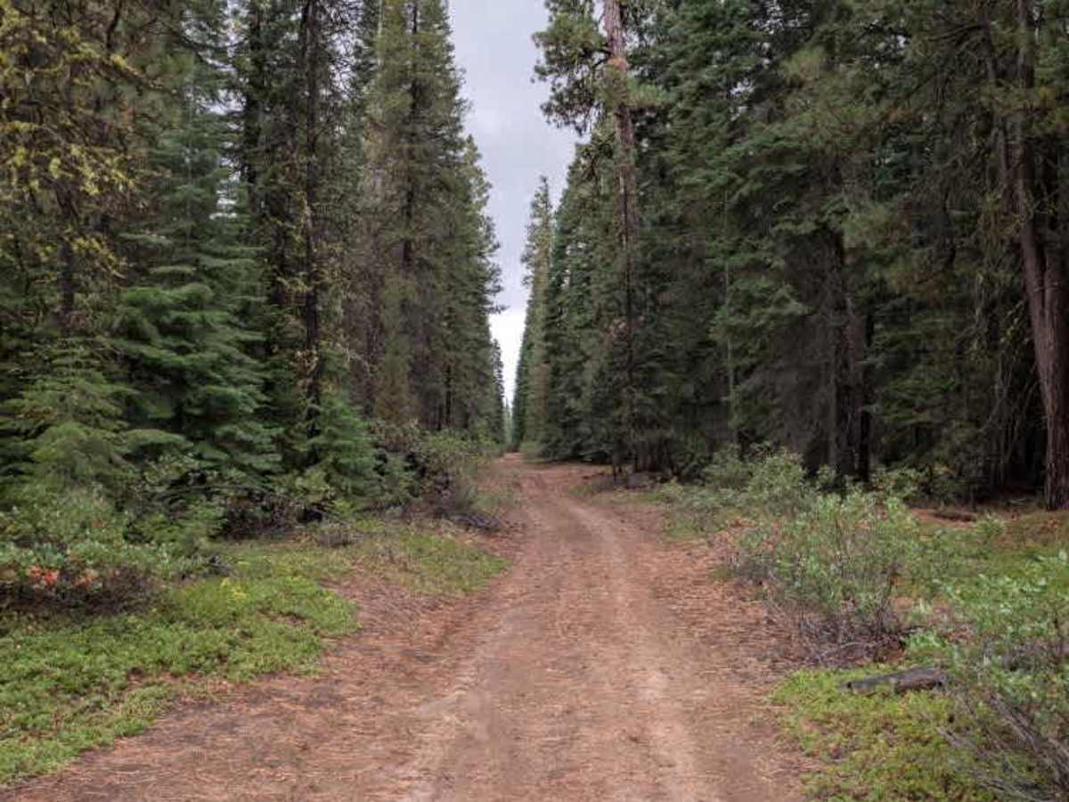
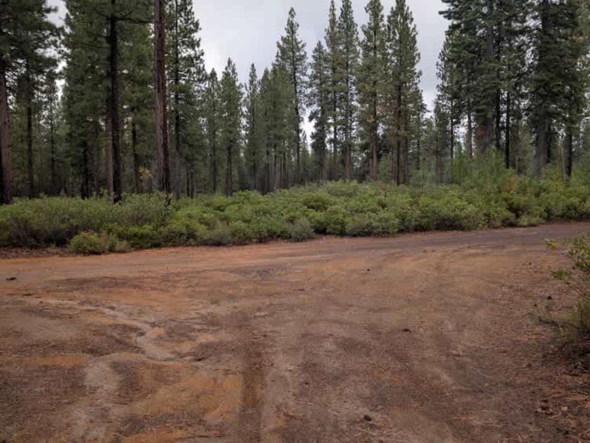
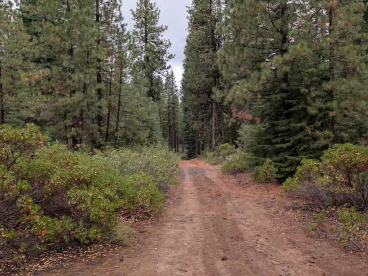
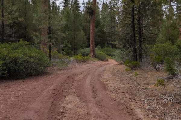
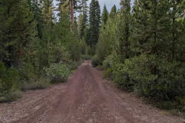
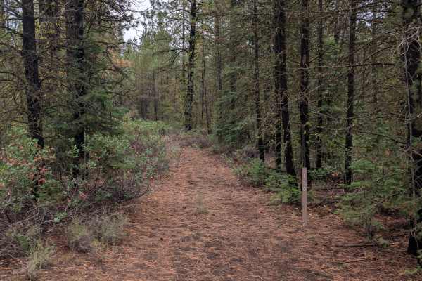
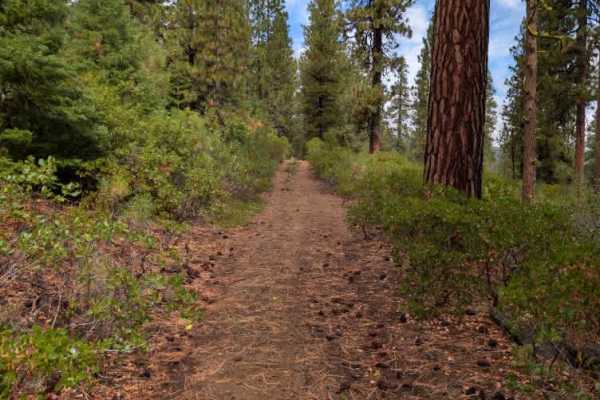
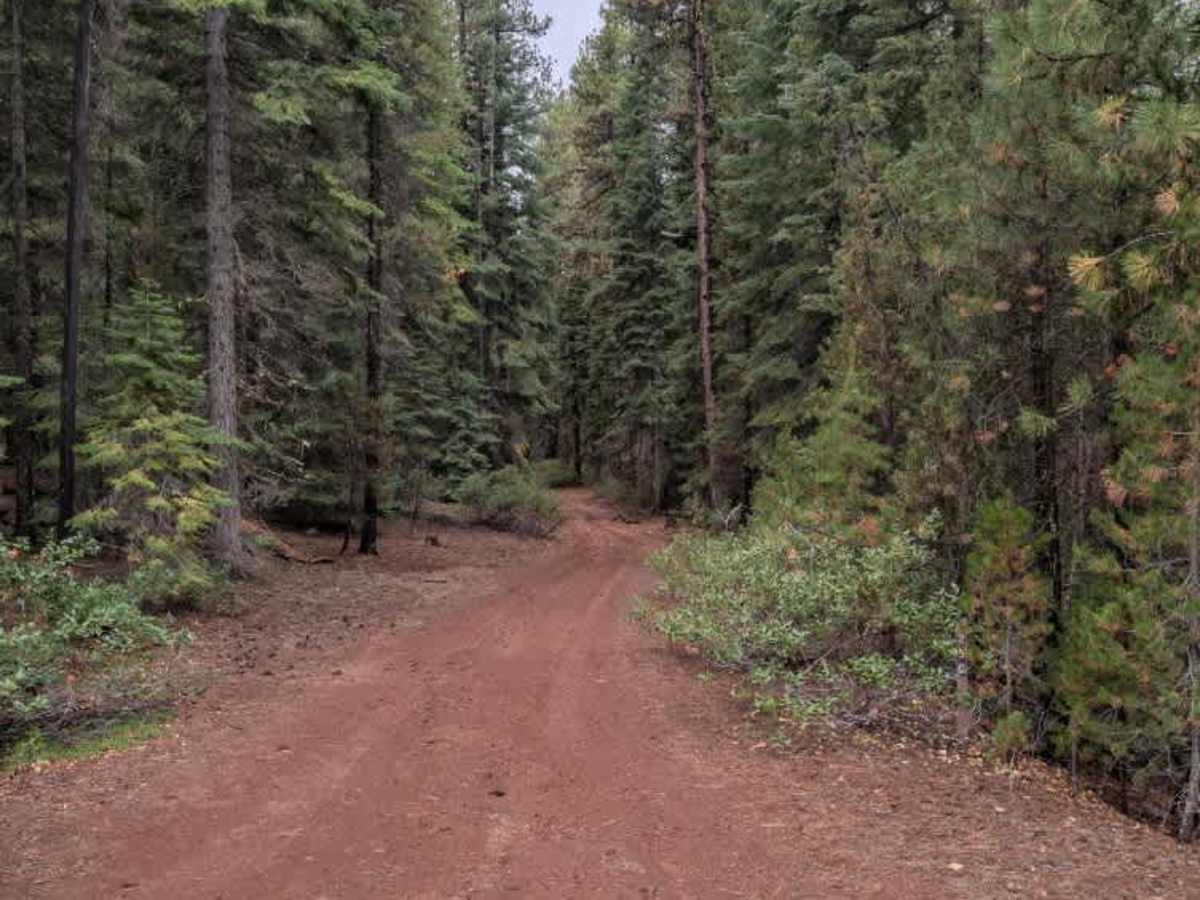
This alpine connector trail runs between two larger roads and provides a straightforward link through the surrounding forest. The route has a red gravel surface and is generally easy to navigate, with a few dispersed camping spots tucked along the trail where there is room to pull off. When traveling southbound, the descent has some areas of water erosion along one side of the road. This creates sections with ruts, loose rock, uneven, aggressive terrain, inclines, and steeper portions of the route. These rougher areas require some navigation, but they do not present major obstacles and should be manageable for all vehicles. ATVs, UTVs, Side-by-Sides, and Dirt Bikes must always have a valid Oregon ATV Operating Permit sticker.

Photos of FS 4250250

Difficulty

The trail is generally easy, with some eroded and rocky sections requiring extra attention.

Technical Rating

2

FS 4250250 Trail can be accessed by the following ride types:

  • Single Track
  • 50 Inch
  • 60 Inch
  • High Clearance
  • Full Width

FS 4250250 Map

The onX Offroad Difference

onX Offroad combines trail photos, descriptions, difficulty ratings, width restrictions, seasonality, and more in a user-friendly interface. Available on all devices, with offline access and full compatibility with CarPlay and Android Auto. Discover what you're missing today!

Open Trail Map