FS 4255200

Total Miles2.7
Technical Rating
2Easy
Best TimeSpring, Summer, Fall
Trail TypeFull-Width Road
Accessible By
Open Trail Map

Trail Overview

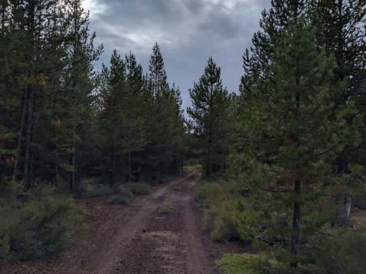
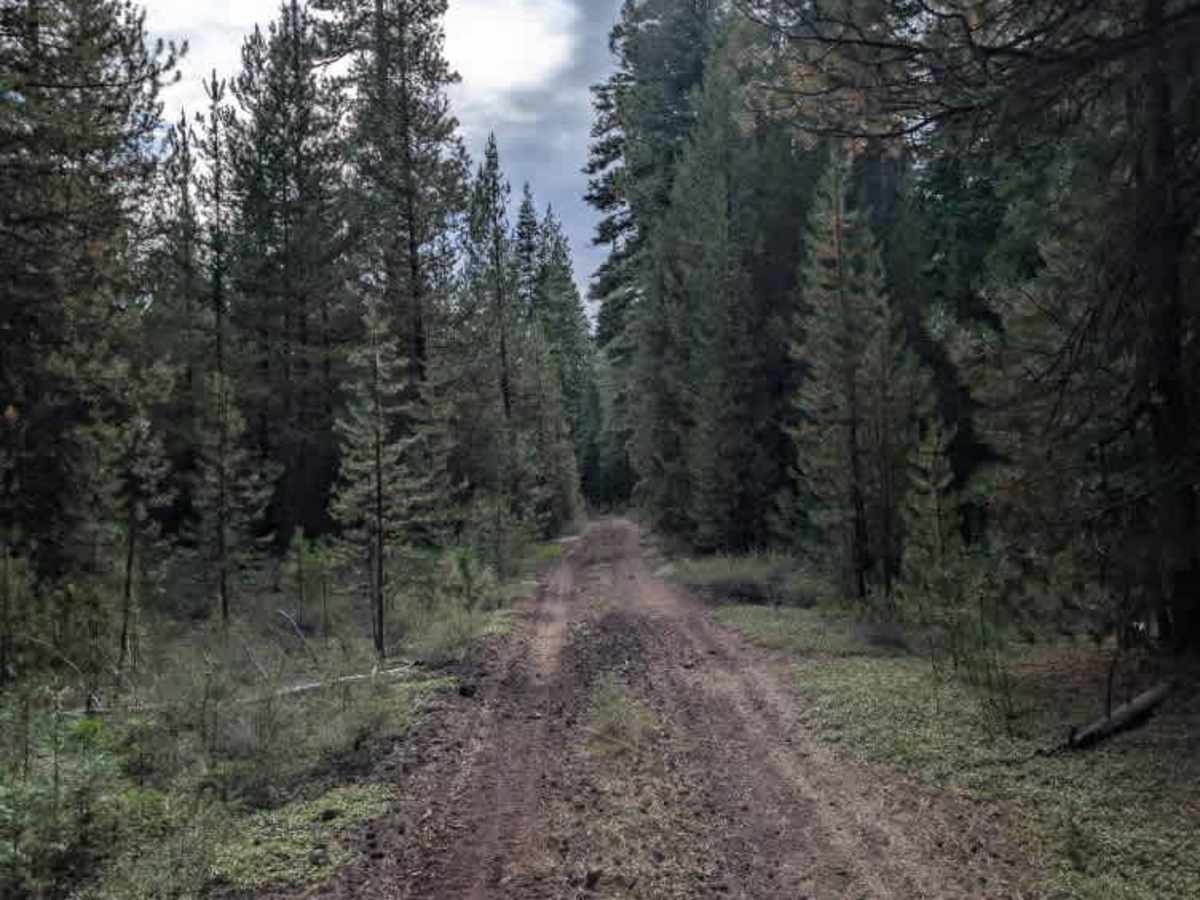
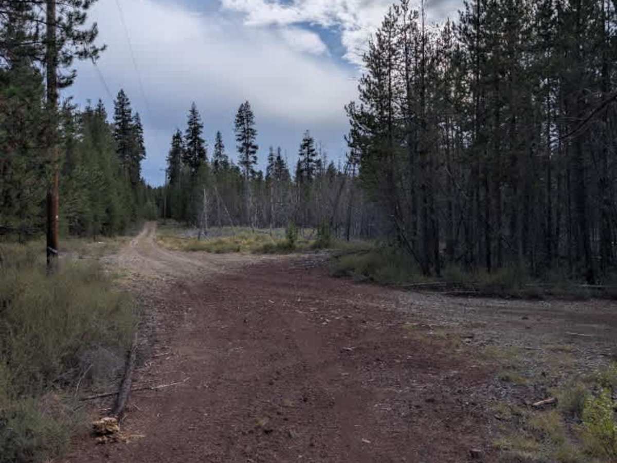
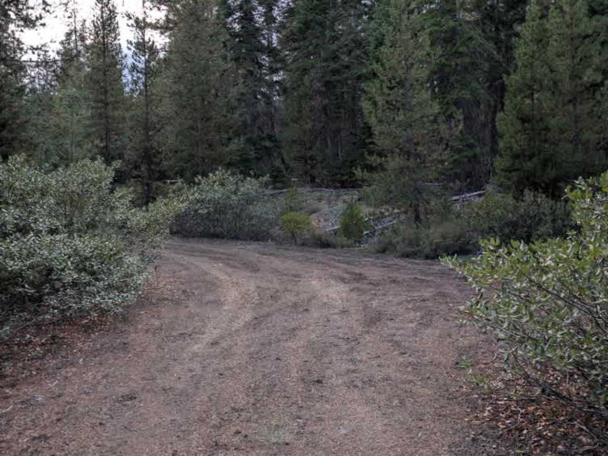
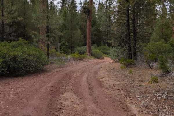
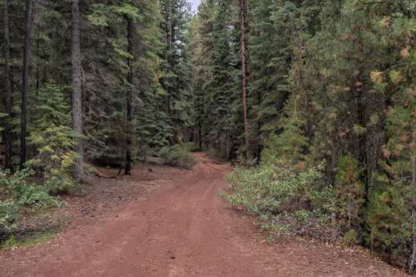
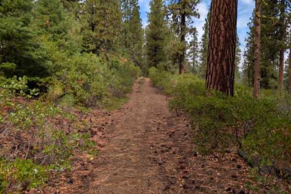
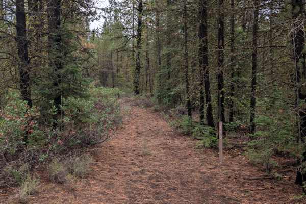
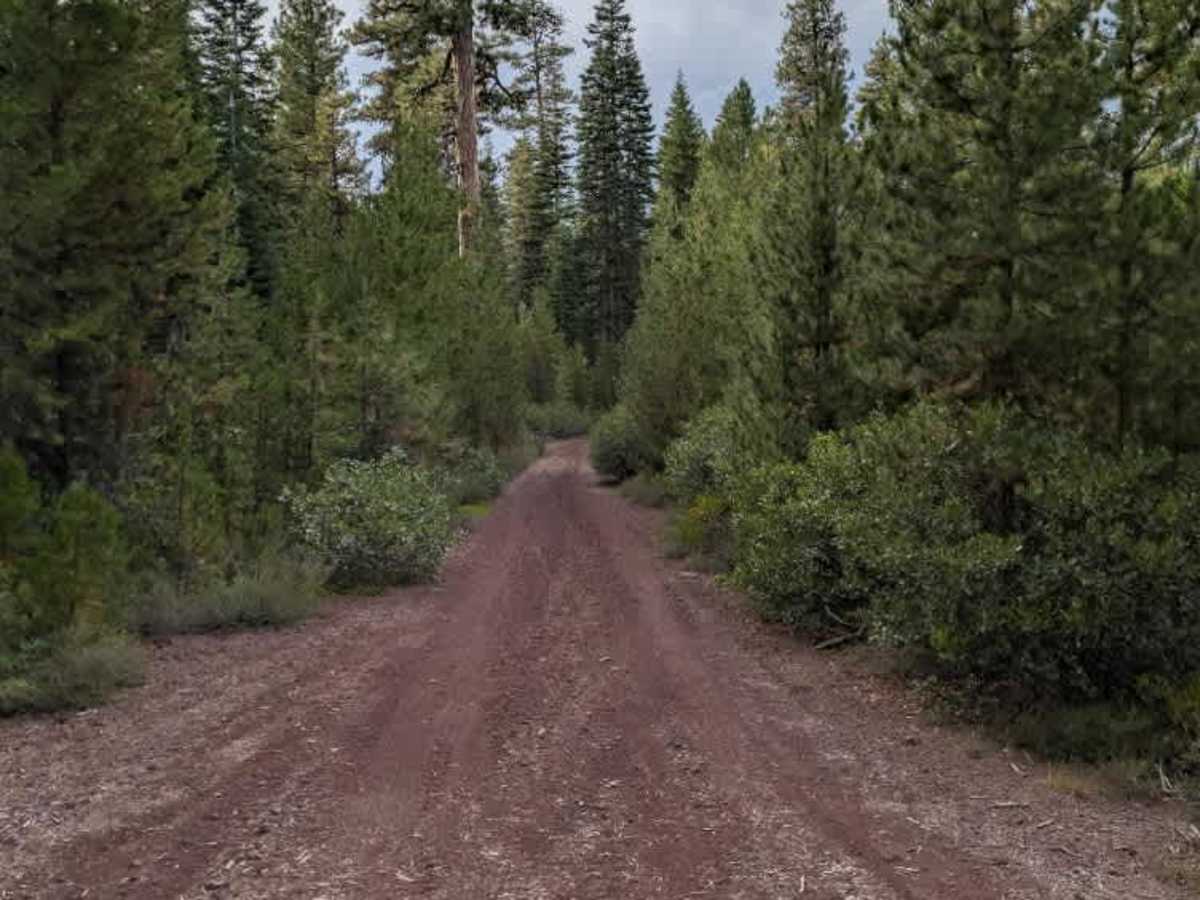
This connective trail winds through the surrounding area and connects several main roads. One section crosses beneath a power line corridor, after which the route passes through an area with numerous fallen young trees. Most of these trees are small enough to navigate around, and the main travel path has been cleared of larger trees and debris. Some cleared tree trunks remain close to the edge of the roadway, partially hidden among the surrounding shrubs. Further along, the trail has several corners that can rise quickly, so drivers should pay attention as the route winds through the area. Numerous ruts also run through the trail, adding unevenness to an otherwise enjoyable route. ATVs, UTVs, Side-by-Sides, and Dirt Bikes must always have a valid Oregon ATV Operating Permit sticker.

Photos of FS 4255200

Difficulty

The trail offers generally manageable terrain, with rougher sections around the ruts and corners.

Technical Rating

2

FS 4255200 Trail can be accessed by the following ride types:

  • Single Track
  • 50 Inch
  • 60 Inch
  • High Clearance
  • Full Width

FS 4255200 Map

The onX Offroad Difference

onX Offroad combines trail photos, descriptions, difficulty ratings, width restrictions, seasonality, and more in a user-friendly interface. Available on all devices, with offline access and full compatibility with CarPlay and Android Auto. Discover what you're missing today!

Open Trail Map