FS 4245500

Total Miles2.2
Technical Rating
2Easy
Best TimeSpring, Summer, Fall
Trail TypeFull-Width Road
Accessible By
Open Trail Map

Trail Overview

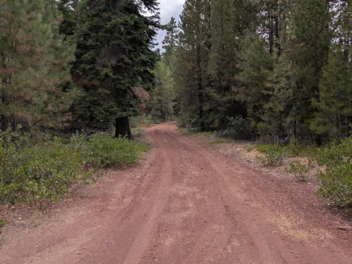
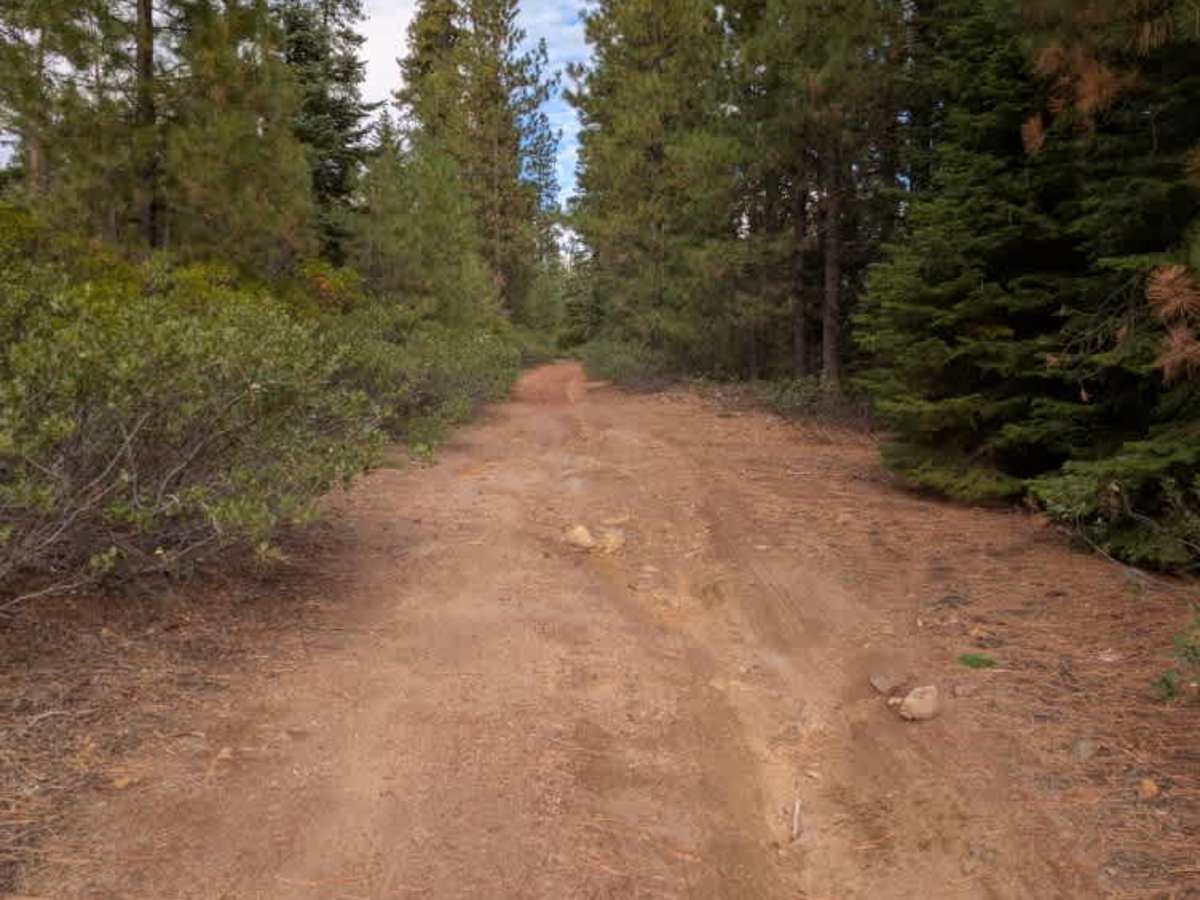
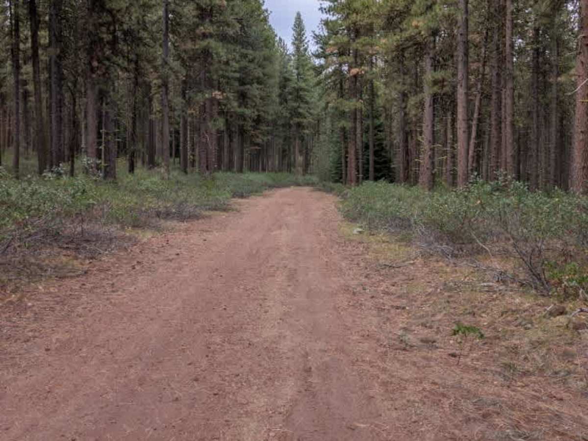
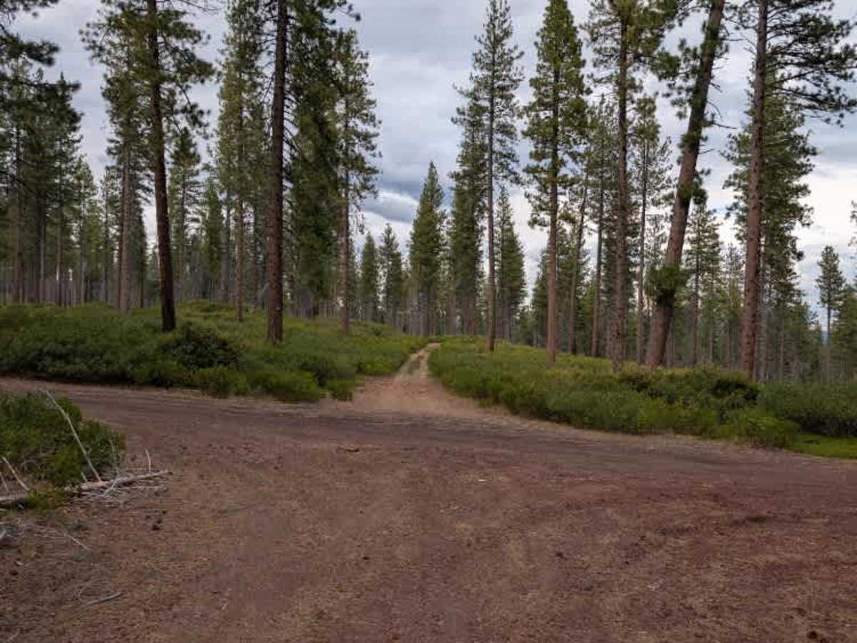
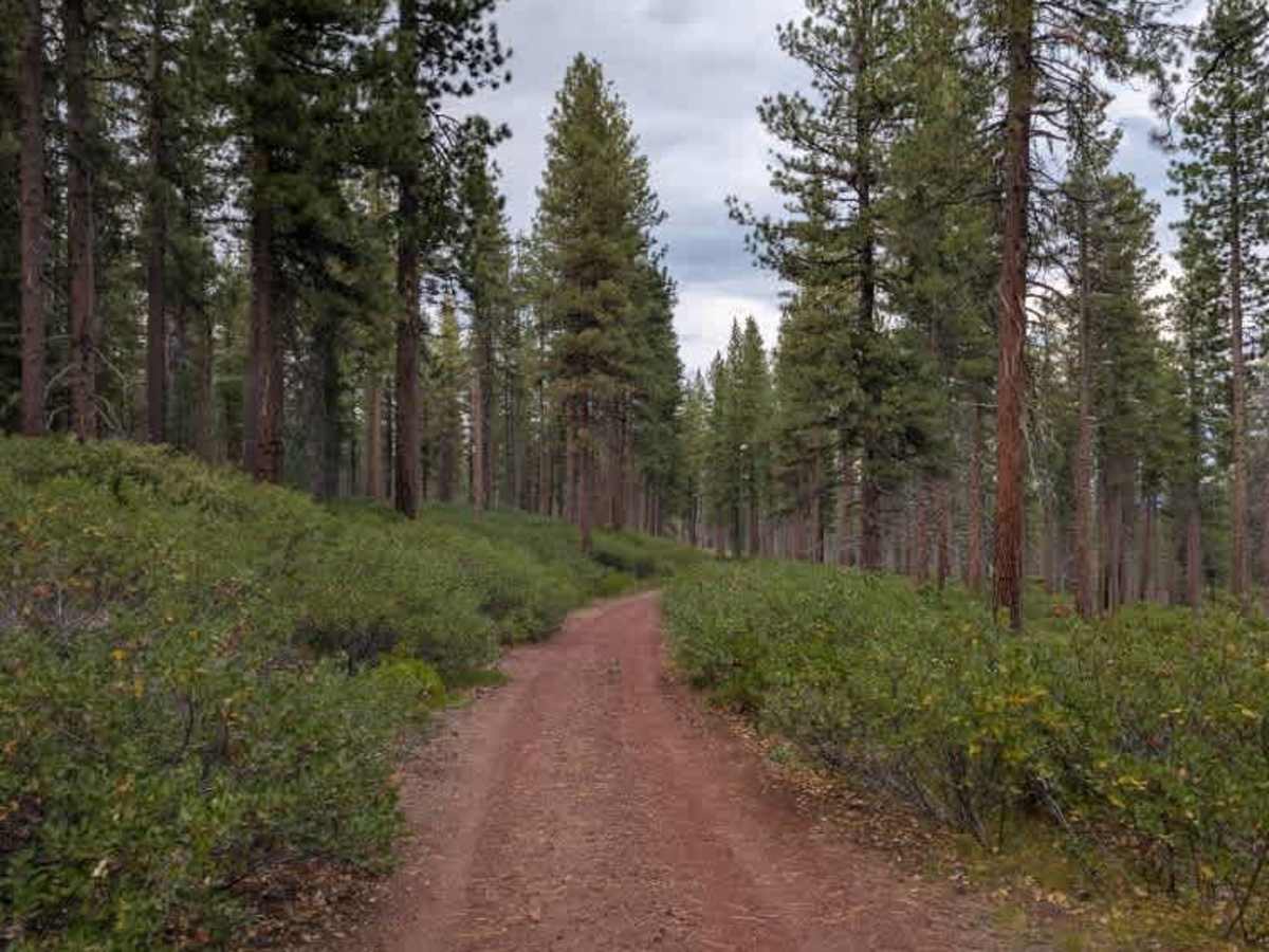
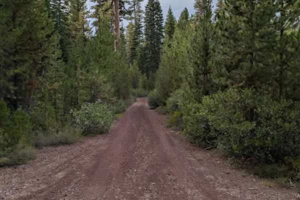
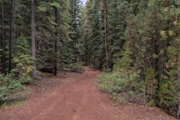
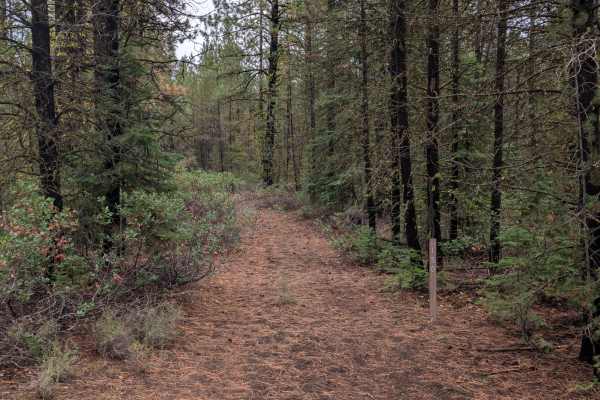
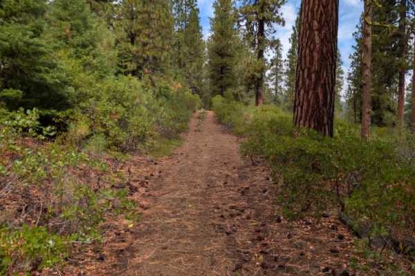
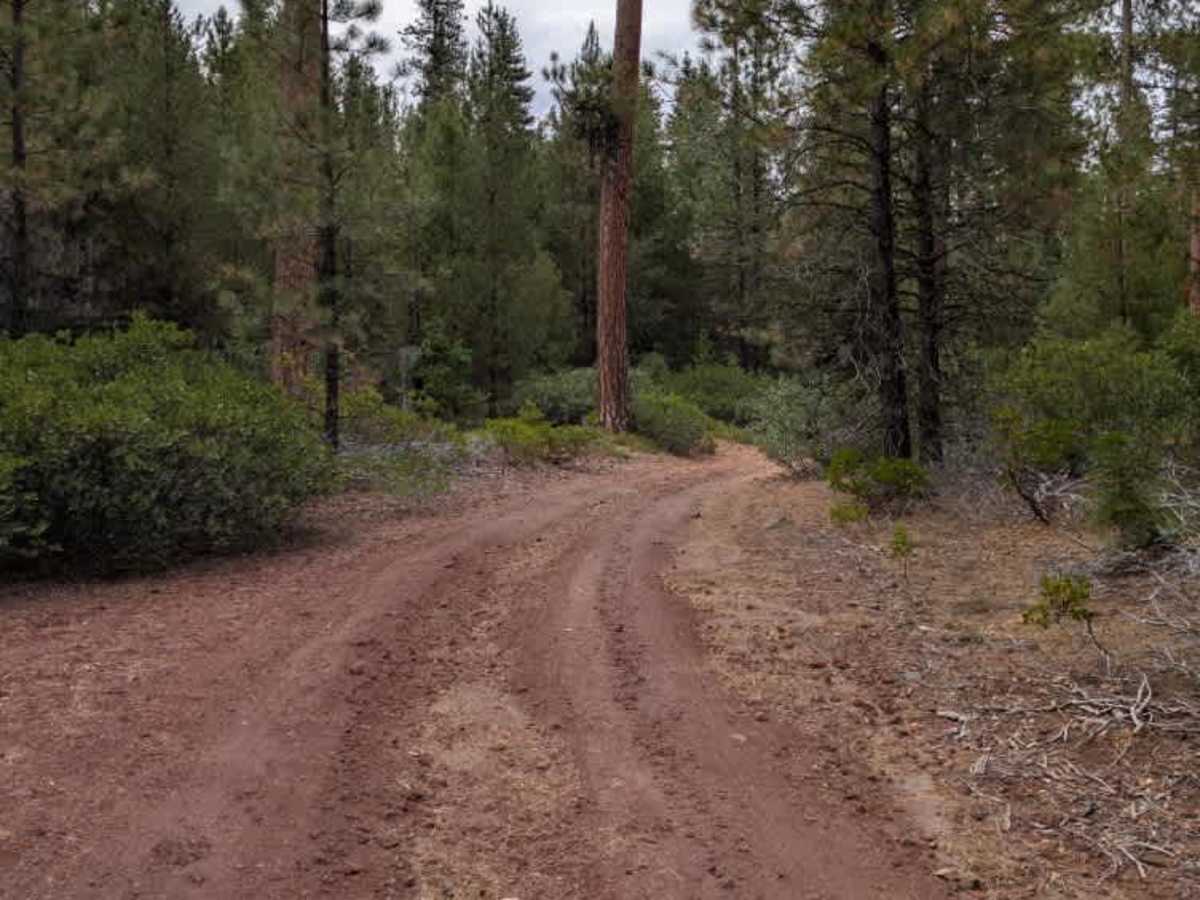
This connected trail branches to several other routes and follows the side of the mountain, climbing and descending through the surrounding terrain. The road has a red gravel surface and is not actively maintained, with some sections showing water erosion that has created uneven areas along the route. Loose rock is also scattered across parts of the trail, making some sections rougher. The trail narrows in places as bushes and other vegetation grow in from both sides, reducing space for vehicles. Despite occasional rough, narrow sections, the route is generally straightforward to follow and offers a pleasant ride along the mountain. ATVs, UTVs, Side-by-Sides, and Dirt Bikes must always have a valid Oregon ATV Operating Permit sticker.

Photos of FS 4245500

Difficulty

The trail is generally manageable, though some eroded, rocky sections and encroaching vegetation require extra attention.

Technical Rating

2

FS 4245500 Trail can be accessed by the following ride types:

  • Single Track
  • 50 Inch
  • 60 Inch
  • High Clearance
  • Full Width

FS 4245500 Map

The onX Offroad Difference

onX Offroad combines trail photos, descriptions, difficulty ratings, width restrictions, seasonality, and more in a user-friendly interface. Available on all devices, with offline access and full compatibility with CarPlay and Android Auto. Discover what you're missing today!

Open Trail Map