Trail Overview
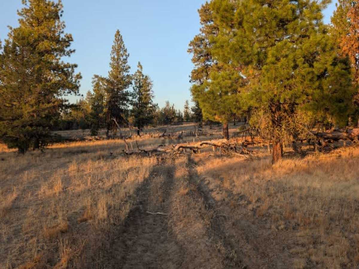
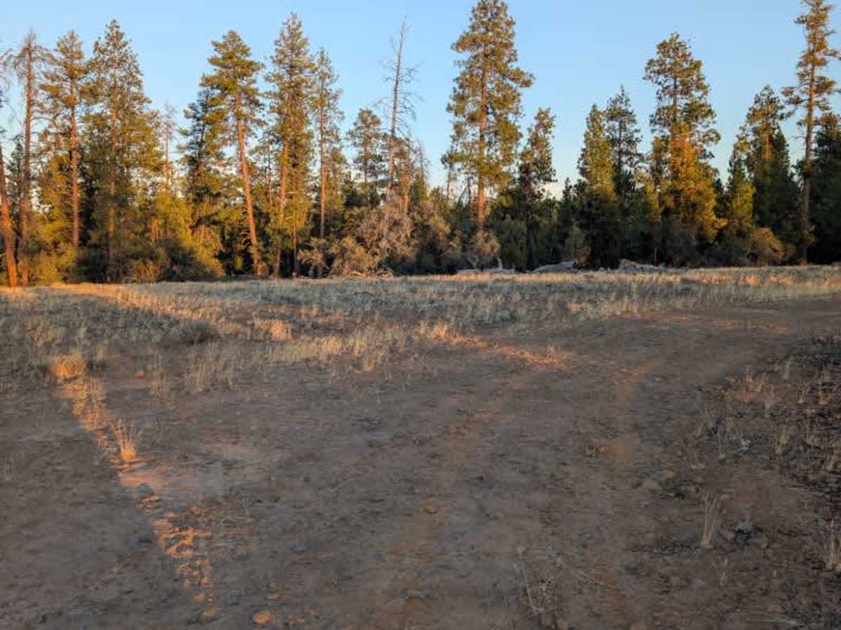
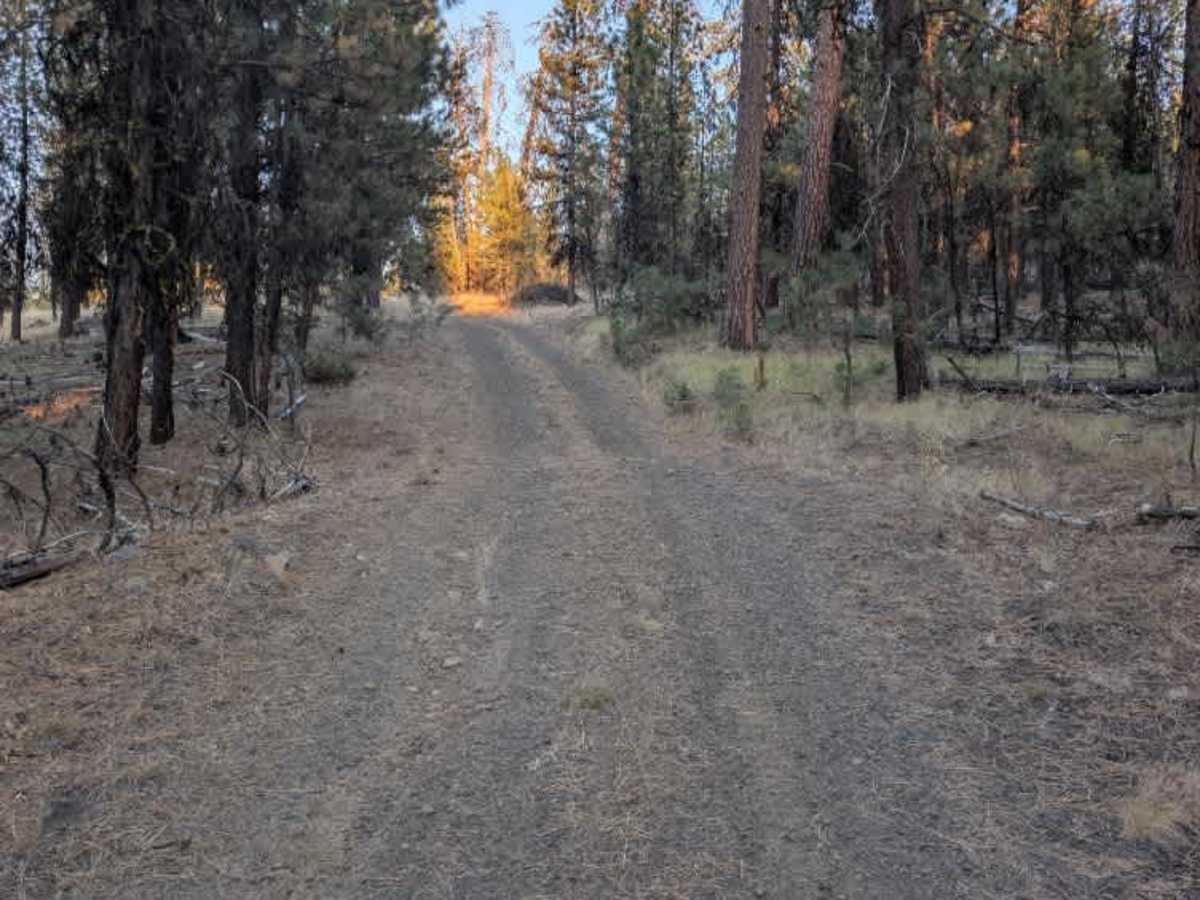
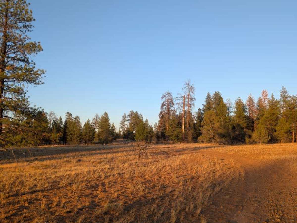
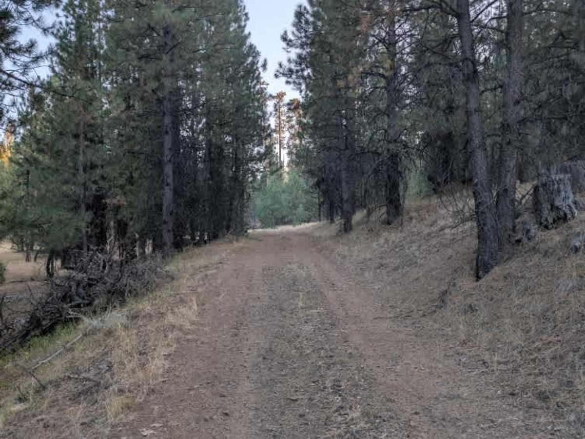
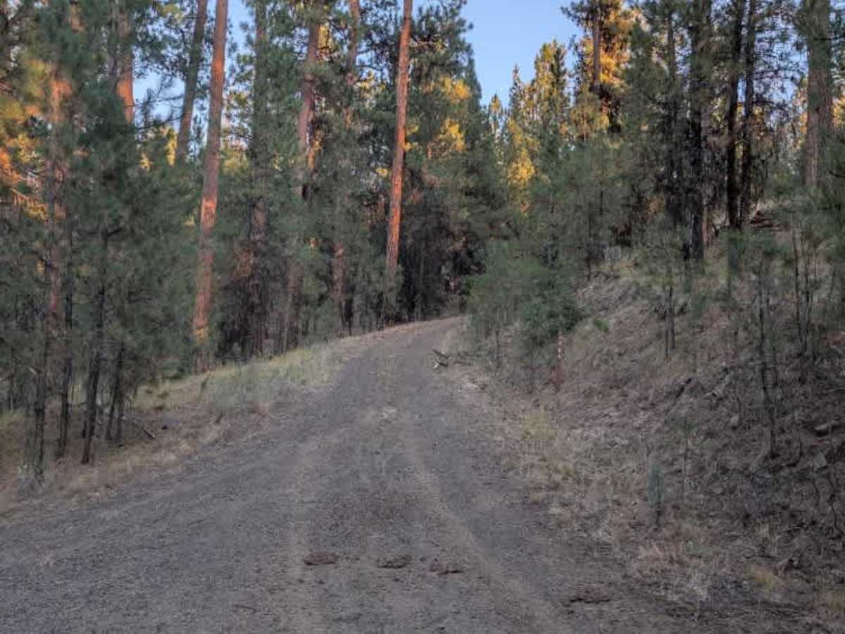
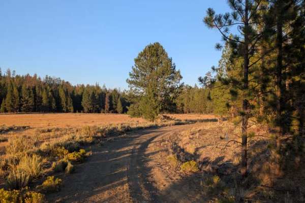
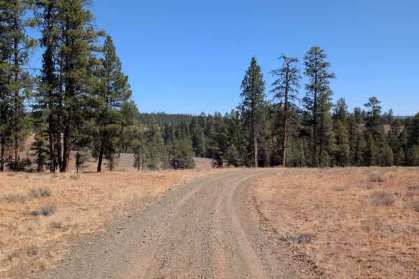
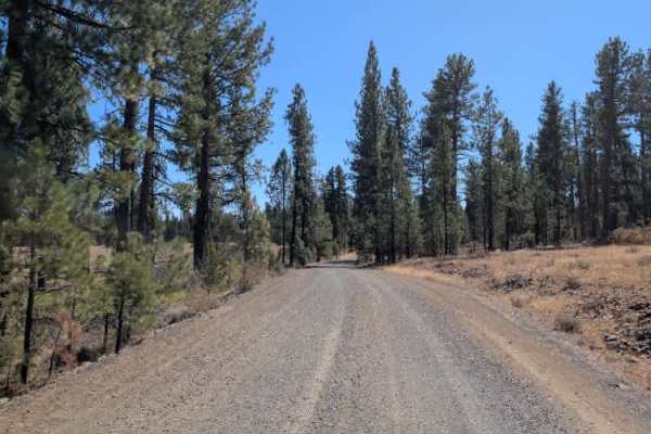
This trail branches off from the FS 4230900 route and climbs through a mix of rocky uphill sections, flatter stretches, and short descents. The route starts with a fairly steep climb before settling into a series of smaller ups and downs. The rocky surface adds some extra traction and clearance considerations, but there are no major obstacles that make the route particularly difficult. Farther along, the trail drops into a riverbed before climbing again on a somewhat larger hill. After making the final ascent, the trail opens into a field at the top, where it connects with other routes that can be used to return to the main trail system. Overall, this is a fun connecting route with varied terrain and a few steeper climbs. The rocky hill sections and riverbed add a bit more challenge than a typical forest road, while the open field at the top provides a nice change of scenery and access to the surrounding trails. ATVs, UTVs, Side-by-Sides, and Dirt Bikes must always have a valid Oregon ATV Operating Permit sticker.