Trail Overview
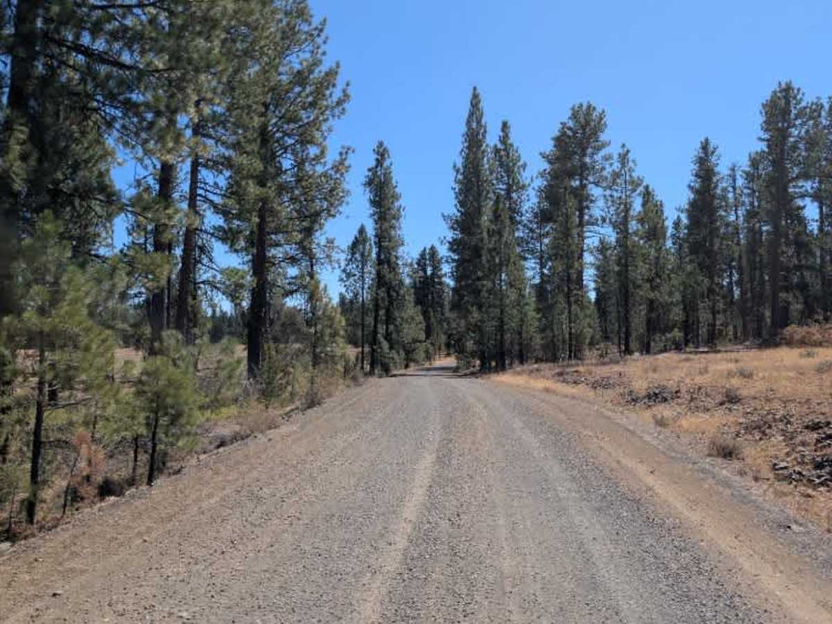
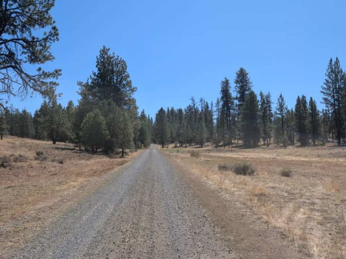
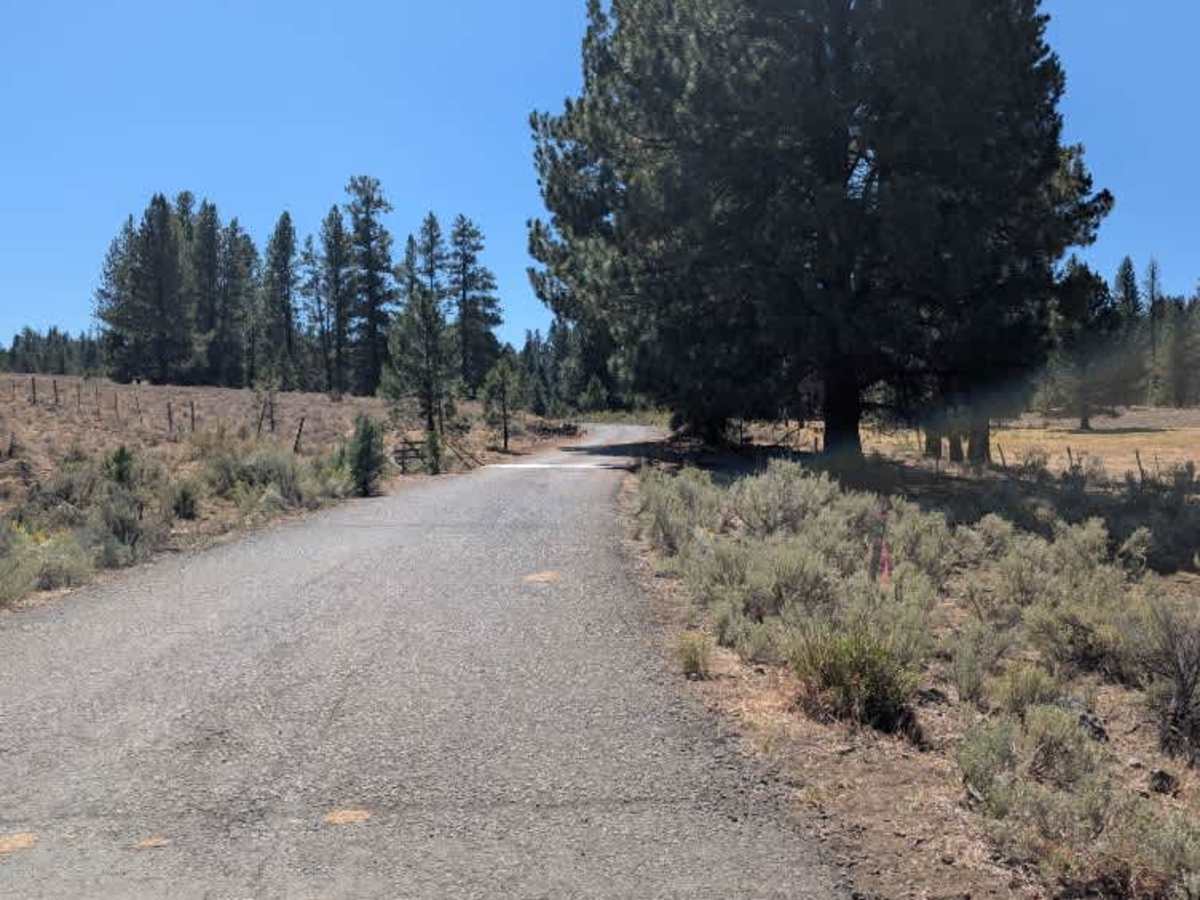
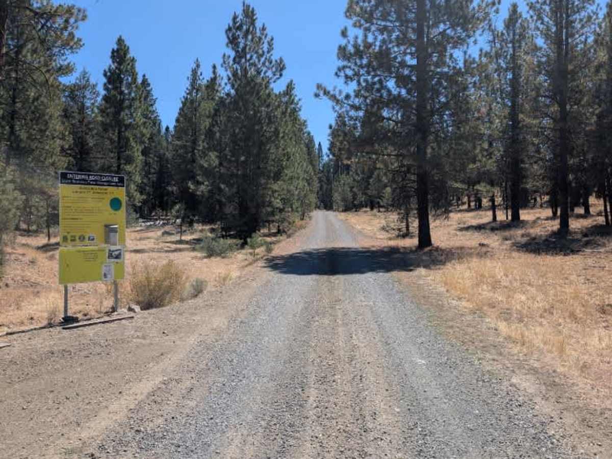
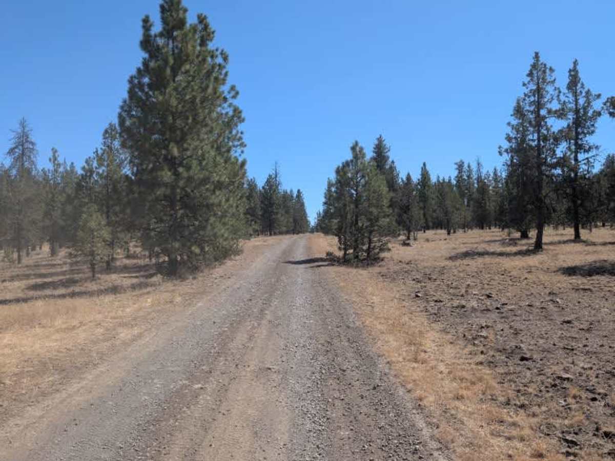
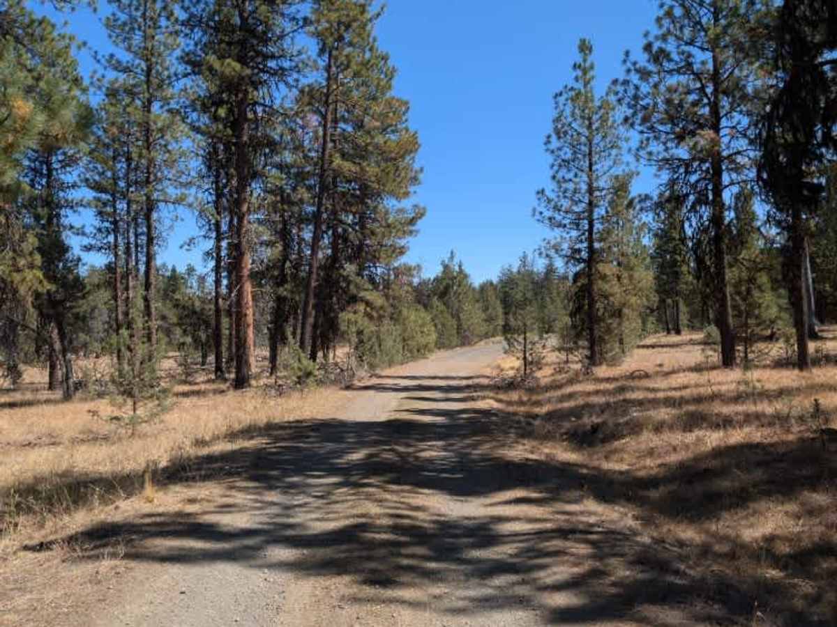
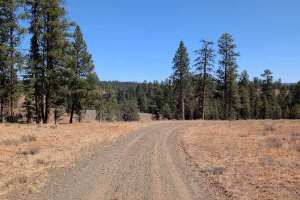
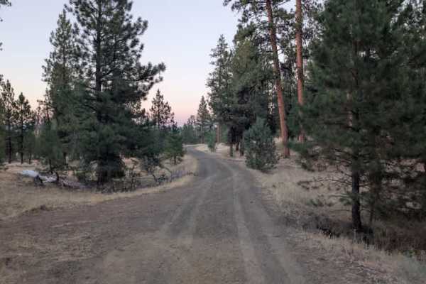
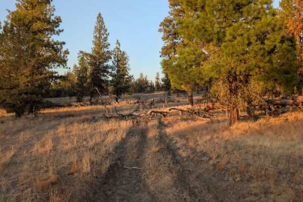
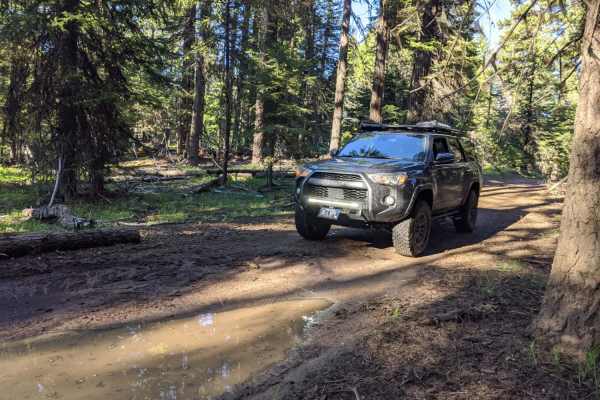
The road is well-maintained gravel for most of the route, with a few potholes and minor areas of degradation. Conditions change significantly after an intersection with another trail. The road remains relatively easy for a while before entering a more heavily forested section, where it becomes considerably rougher. The final stretch has deep, water-eroded grooves, large sharp rocks, hidden ditches, and uneven terrain that requires careful line selection. The trail eventually ends along a fence that appears to border private property. An open gate marks the end, with signs on either side indicating entry is closed, so do not proceed beyond this point. The upper portion is relatively easy, but the heavily rutted and rocky final section increases the difficulty to moderate. This is the main arterial route connecting to the paved highway just before the bridge when traveling east. Near the upper portion of the trail, an informational station offers free pamphlets explaining which roads are open during hunting seasons and any applicable travel restrictions. ATVs, UTVs, Side-by-Sides, and Dirt Bikes must always have a valid Oregon ATV Operating Permit sticker.