FS 4240050

Total Miles4
Technical Rating
2Easy
Best TimeSpring, Summer, Fall
Trail TypeFull-Width Road
Accessible By
Open Trail Map

Trail Overview

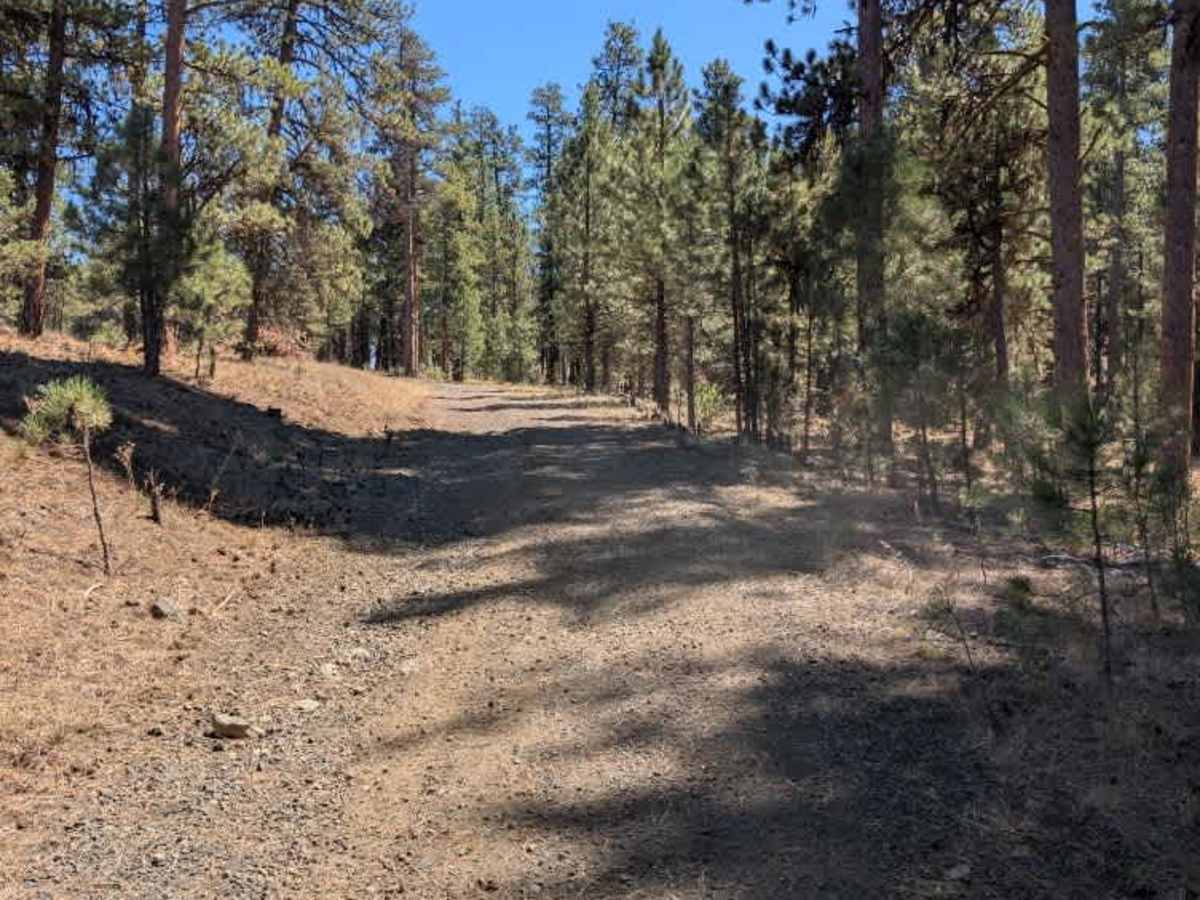
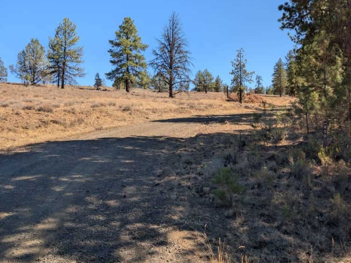
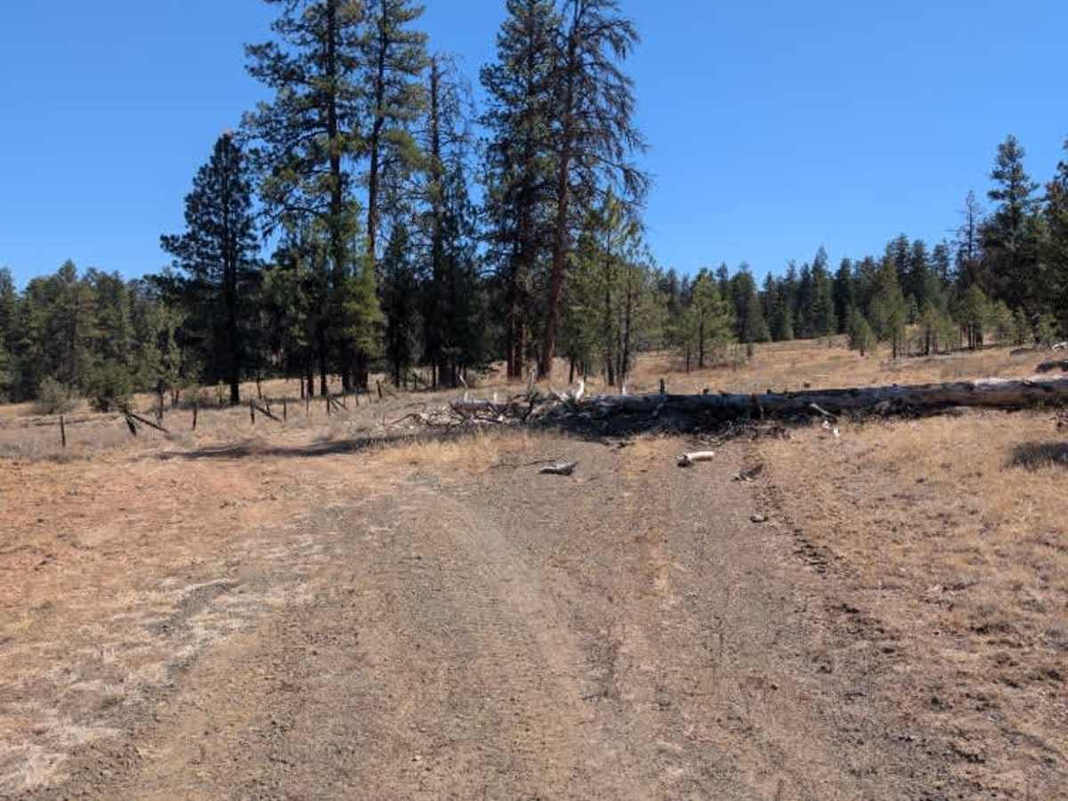
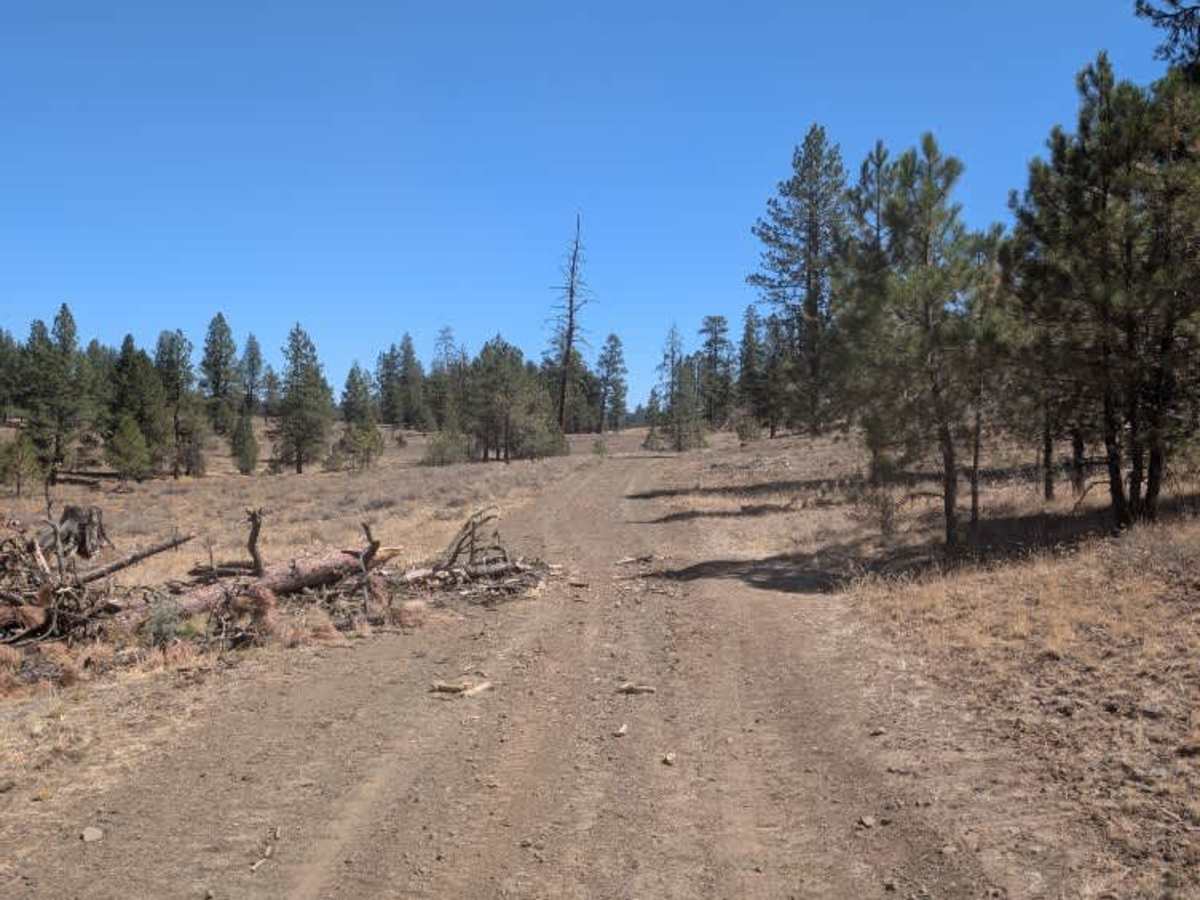
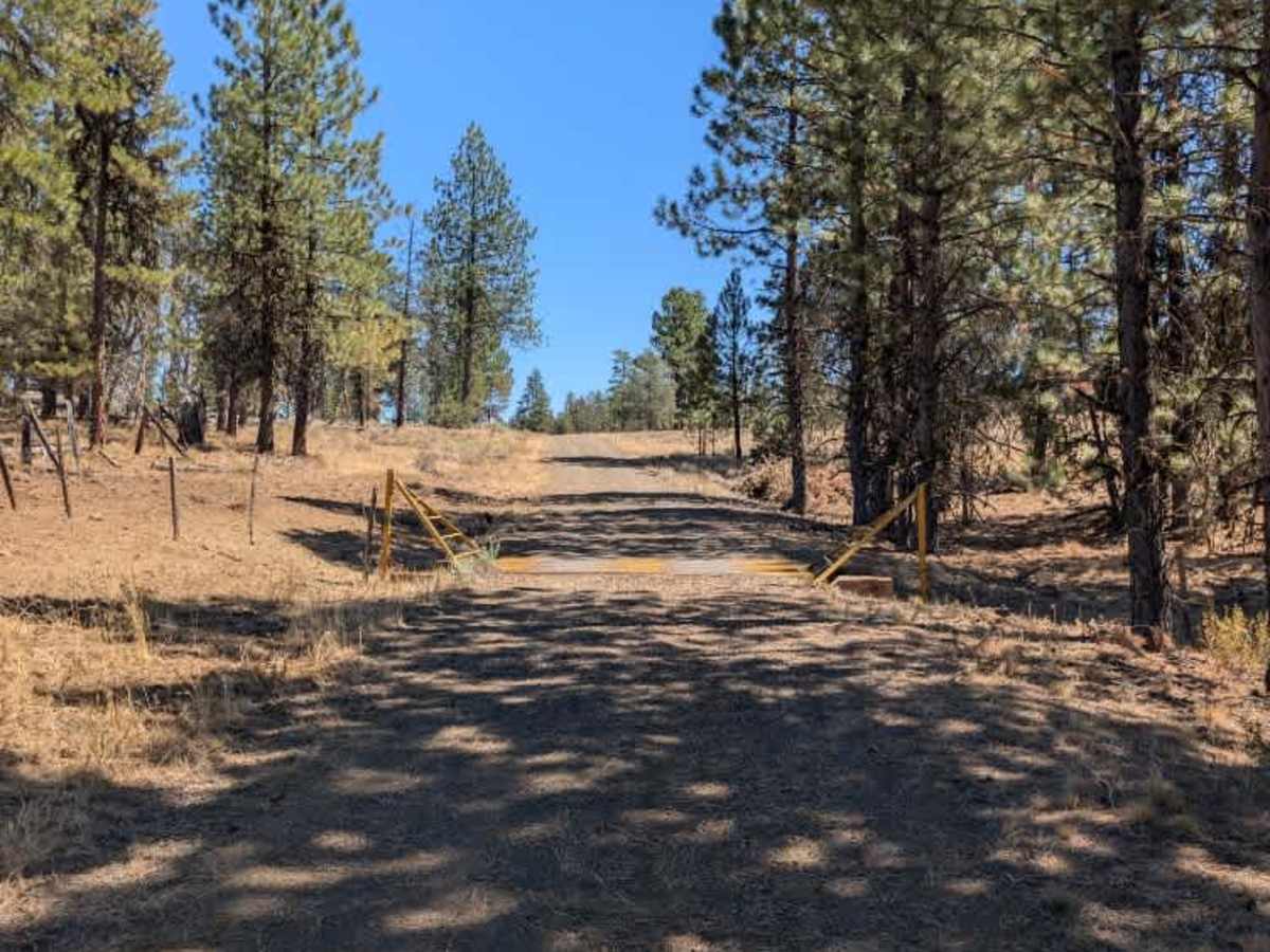
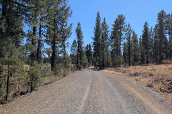
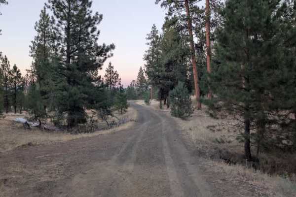
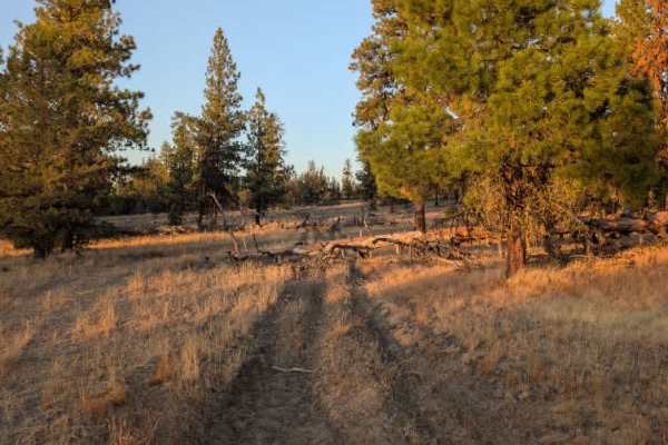
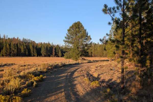
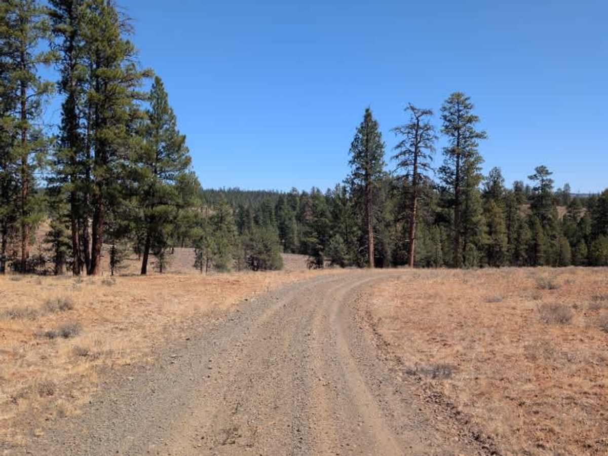
This trail branches off the main route and begins as a well-maintained forest road. A couple of closed trails branch off near the beginning, while the route itself continues toward another trail at an intersection farther along. The first half is generally smooth and easy to travel, with a few fallen trees that have established bypasses wide enough for vehicles to get around. Beyond the intersection, however, the trail changes considerably, becoming a rarely traveled dirt-and-rocky path with numerous bumps, ditches, and uneven sections. Given the terrain and drainage, this section is likely to become very muddy during the wet season. The rocky surface and deeper dips also slow travel farther along the route. A hunting map was also posted along the main route. However, it was not clear whether this specific trail is subject to hunting-related closures, so check current information before traveling. ATVs, UTVs, Side-by-Sides, and Dirt Bikes must always have a valid Oregon ATV Operating Permit sticker.

Photos of FS 4240050

Difficulty

The trail becomes rougher beyond the intersection, with rocky terrain, ditches, and uneven sections creating moderate difficulty.

Technical Rating

2

FS 4240050 Trail can be accessed by the following ride types:

  • Single Track
  • 50 Inch
  • 60 Inch
  • High Clearance
  • Full Width

FS 4240050 Map

The onX Offroad Difference

onX Offroad combines trail photos, descriptions, difficulty ratings, width restrictions, seasonality, and more in a user-friendly interface. Available on all devices, with offline access and full compatibility with CarPlay and Android Auto. Discover what you're missing today!

Open Trail Map