FS 4230000

Total Miles15.1
Technical Rating
1Easy
Best TimeSpring, Summer, Fall
Trail TypeFull-Width Road
Accessible By
Open Trail Map

Trail Overview

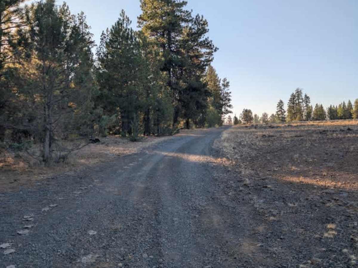
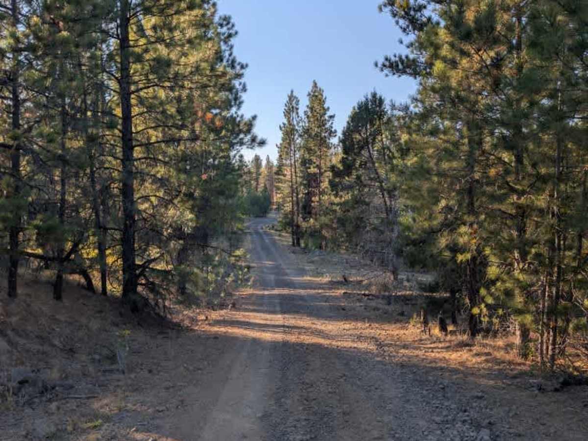
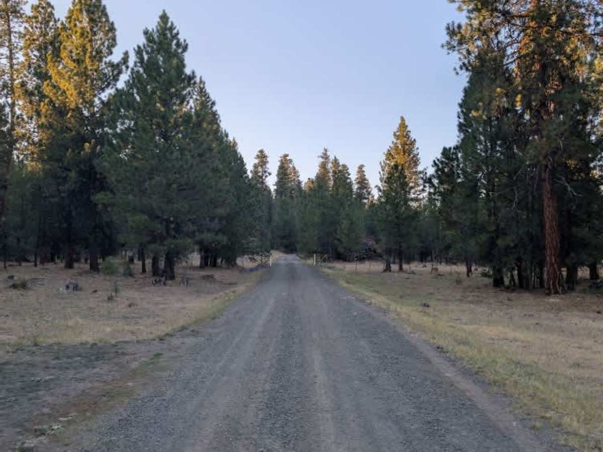
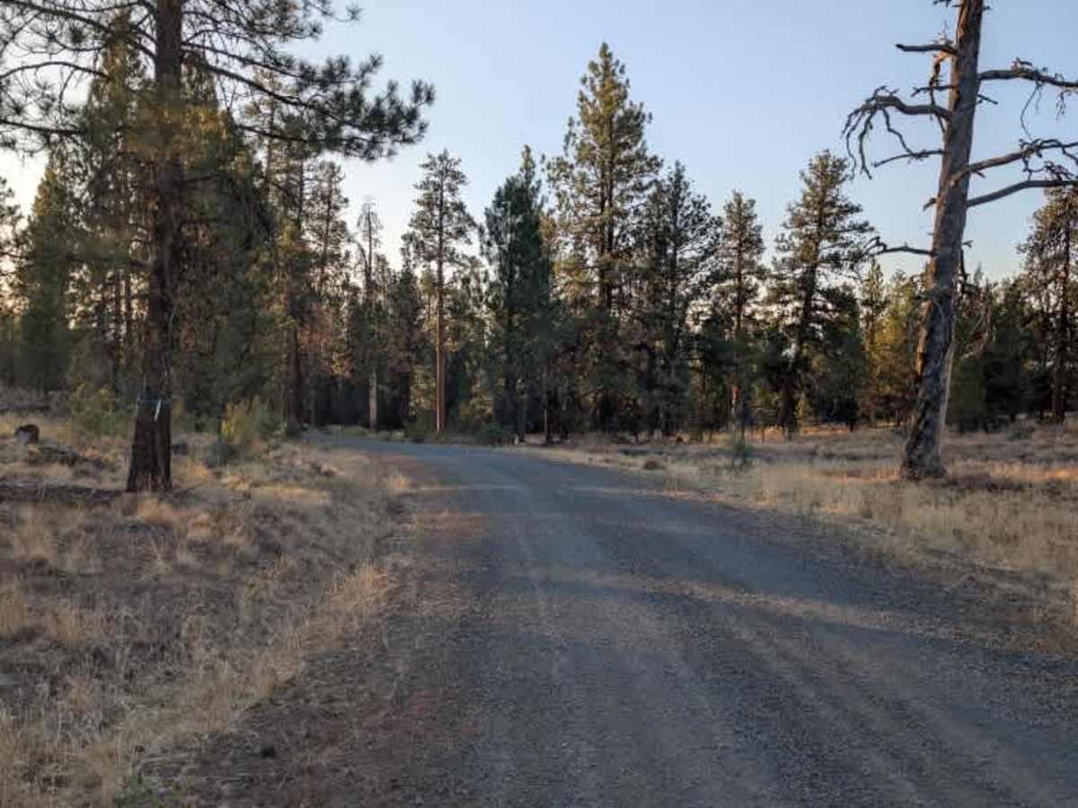
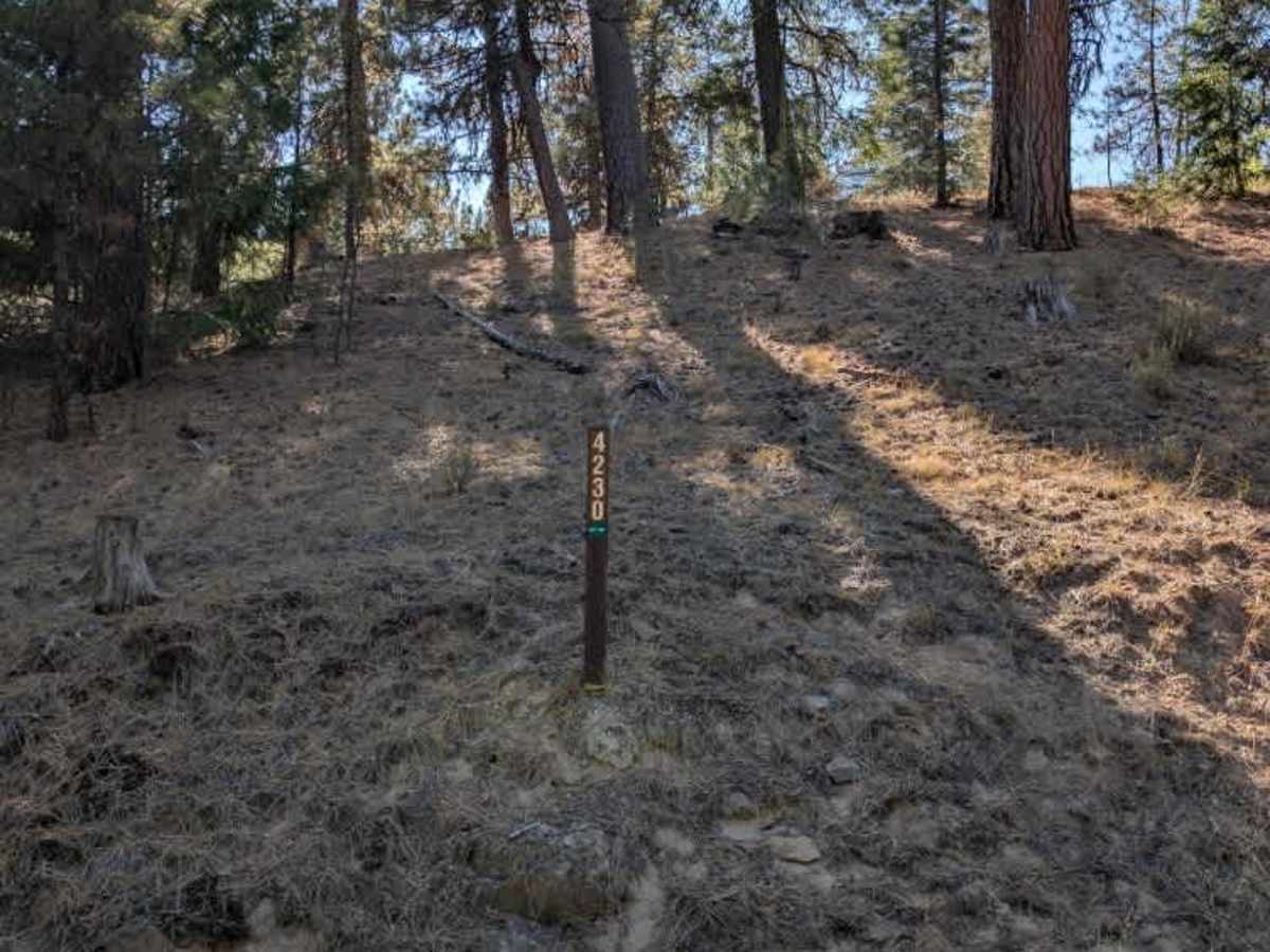
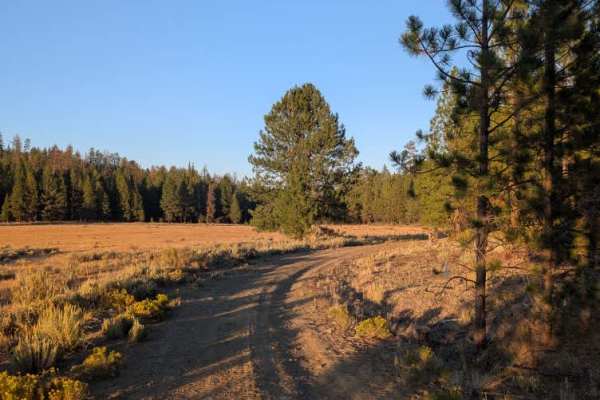
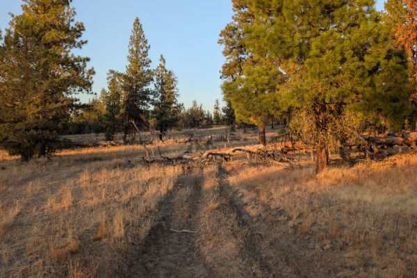
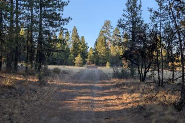
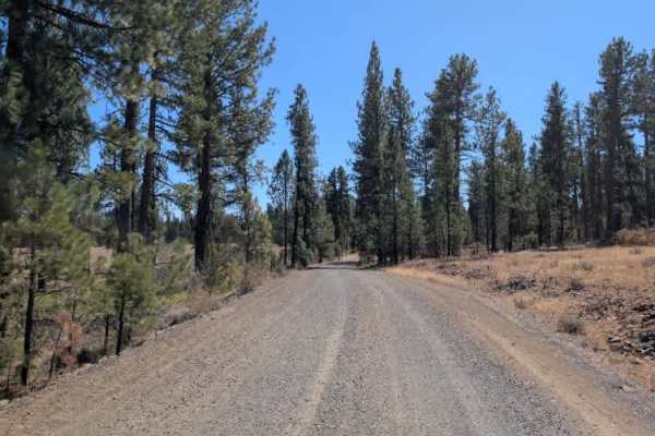
This is the main arterial route connecting the highway with a large network of surrounding trails. It provides access to numerous routes along the way, although road conditions vary by section and by the intersections you pass. Most of the route is relatively easy to travel, but there are areas, particularly toward the south side, where the road becomes noticeably less maintained. These rougher sections have loose gravel and larger rocks, along with dips and uneven terrain that require a little more attention. Conditions can be touch-and-go in these areas, especially where the road connects with the less-maintained southern routes. The entire route could not be surveyed because a section was blocked off for fire crews at the time of mapping. Check current access restrictions before traveling, as fire activity and closures may change. ATVs, UTVs, Side-by-Sides, and Dirt Bikes must always have a valid Oregon ATV Operating Permit sticker.

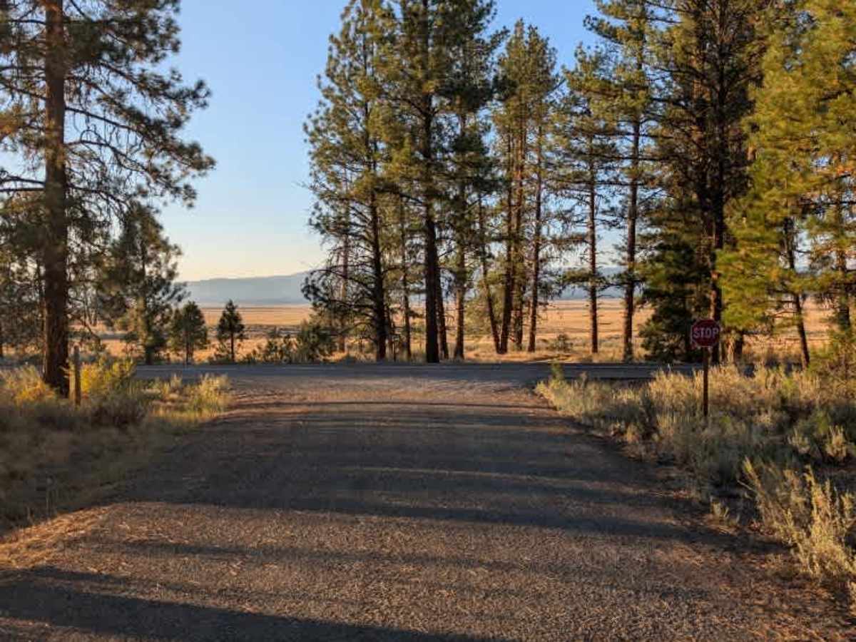
Photos of FS 4230000

Difficulty

The trail is mostly easy, but rougher southern sections with rocks and dips require extra attention.

Technical Rating

1

FS 4230000 Trail can be accessed by the following ride types:

  • Single Track
  • 50 Inch
  • 60 Inch
  • High Clearance
  • Full Width

FS 4230000 Map

The onX Offroad Difference

onX Offroad combines trail photos, descriptions, difficulty ratings, width restrictions, seasonality, and more in a user-friendly interface. Available on all devices, with offline access and full compatibility with CarPlay and Android Auto. Discover what you're missing today!

Open Trail Map