FS 4230850

Total Miles1.4
Technical Rating
2Easy
Best TimeSpring, Summer, Fall
Trail TypeFull-Width Road
Accessible By
Open Trail Map

Trail Overview

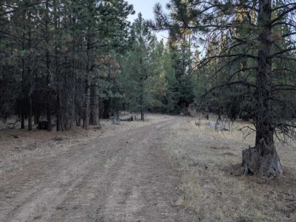
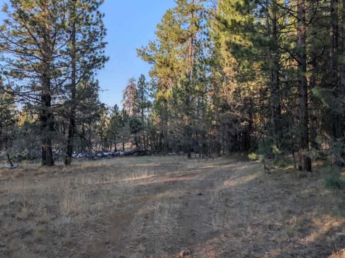
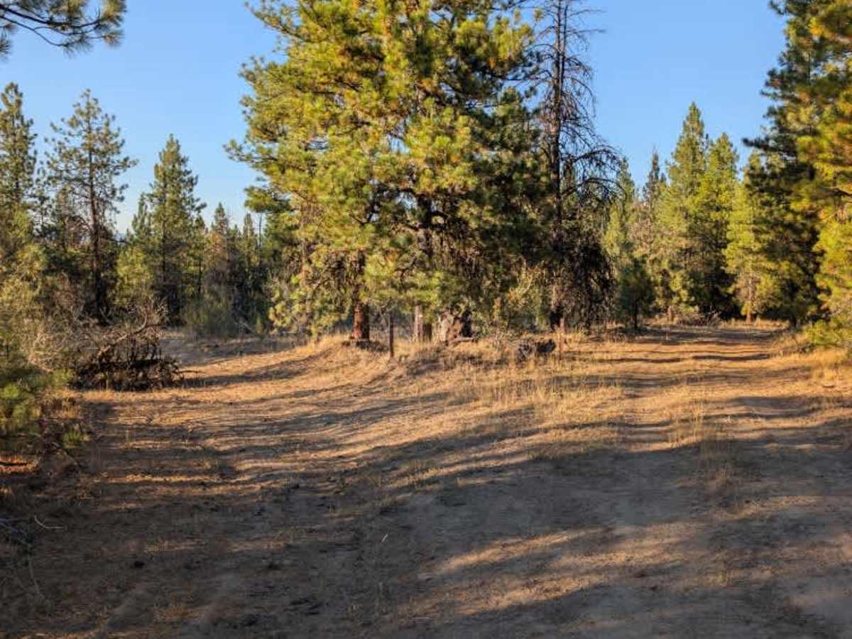
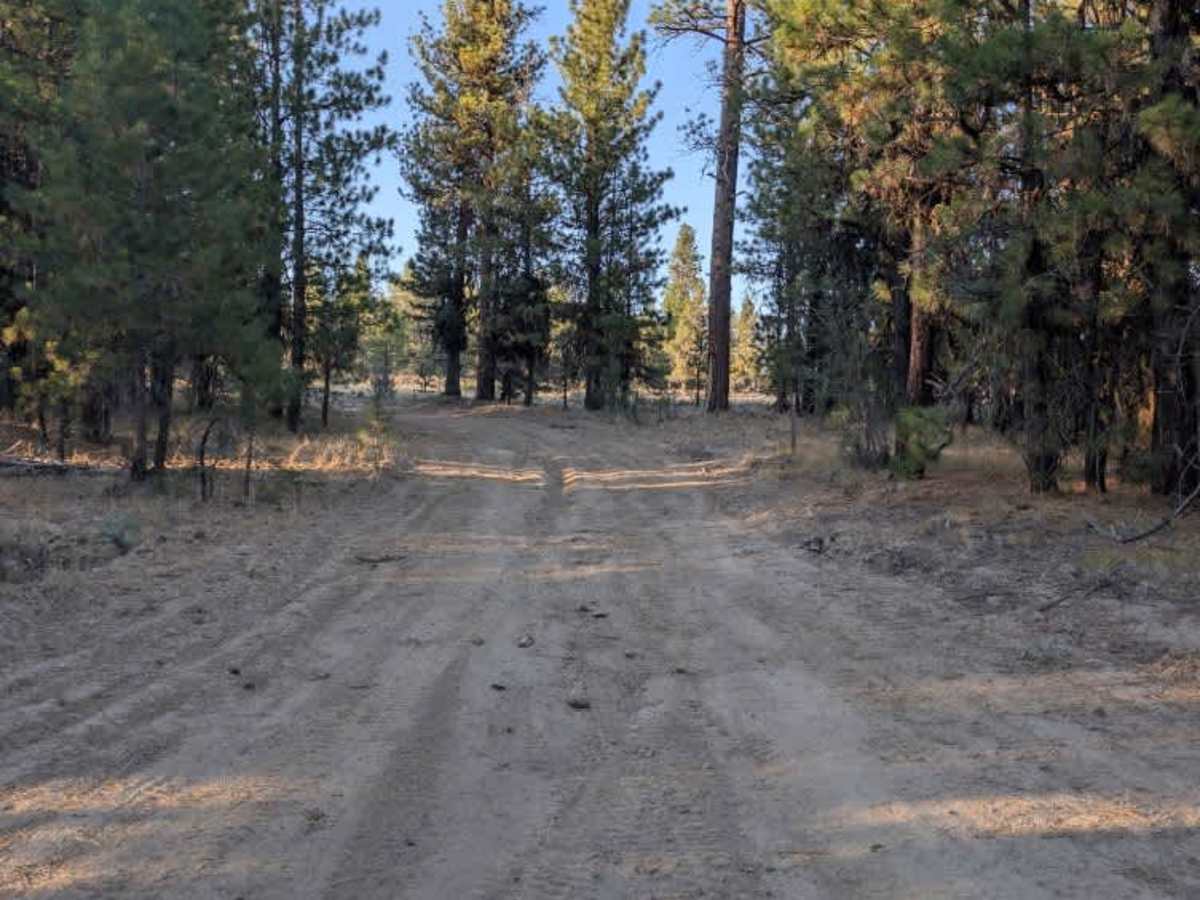
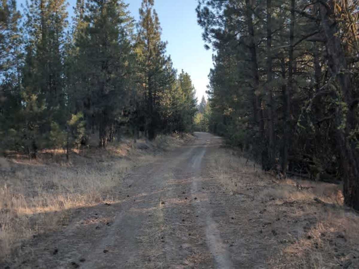
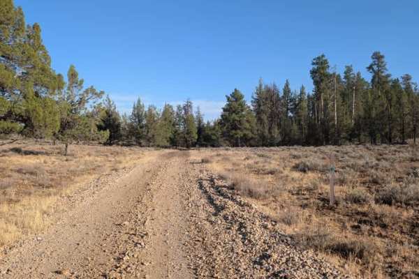
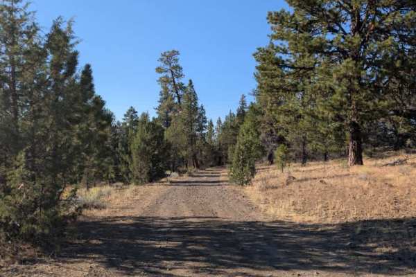
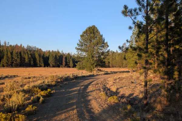
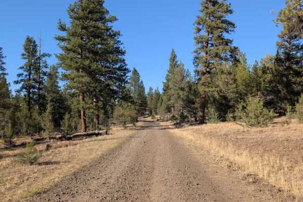
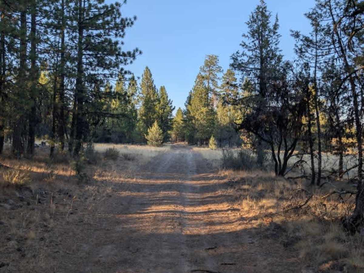
This minor trail branches off the main arterial route and winds toward the edge of an open field before ending near private property. The road becomes increasingly rough as you continue, with numerous ruts, loose rocks, and other obstacles along the way. Fallen trees near the end of the route also make the final section harder to navigate. The trail is manageable for capable off-road vehicles, but the increasing obstacles and rougher terrain make it less suitable for vehicles with limited clearance or capability. If you’re not confident your vehicle can handle the deeper ruts, rocks, and fallen trees, it’s best to turn around before reaching the end. ATVs, UTVs, Side-by-Sides, and Dirt Bikes must always have a valid Oregon ATV Operating Permit sticker.

Photos of FS 4230850

Difficulty

Overall, this is a short but progressively rough trail that provides access toward the field but becomes more challenging near its endpoint.

Technical Rating

2

FS 4230850 Trail can be accessed by the following ride types:

  • Single Track
  • 50 Inch
  • 60 Inch
  • High Clearance
  • Full Width

FS 4230850 Map

The onX Offroad Difference

onX Offroad combines trail photos, descriptions, difficulty ratings, width restrictions, seasonality, and more in a user-friendly interface. Available on all devices, with offline access and full compatibility with CarPlay and Android Auto. Discover what you're missing today!

Open Trail Map