FS 4230500

Total Miles2.5
Technical Rating
2Easy
Best TimeSpring, Summer, Fall
Trail TypeFull-Width Road
Accessible By
Open Trail Map

Trail Overview

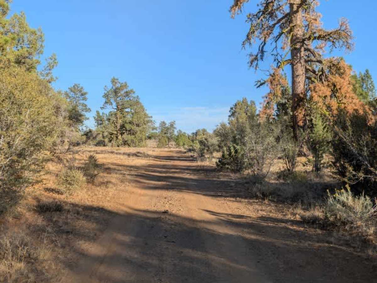
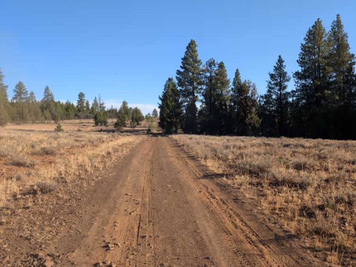
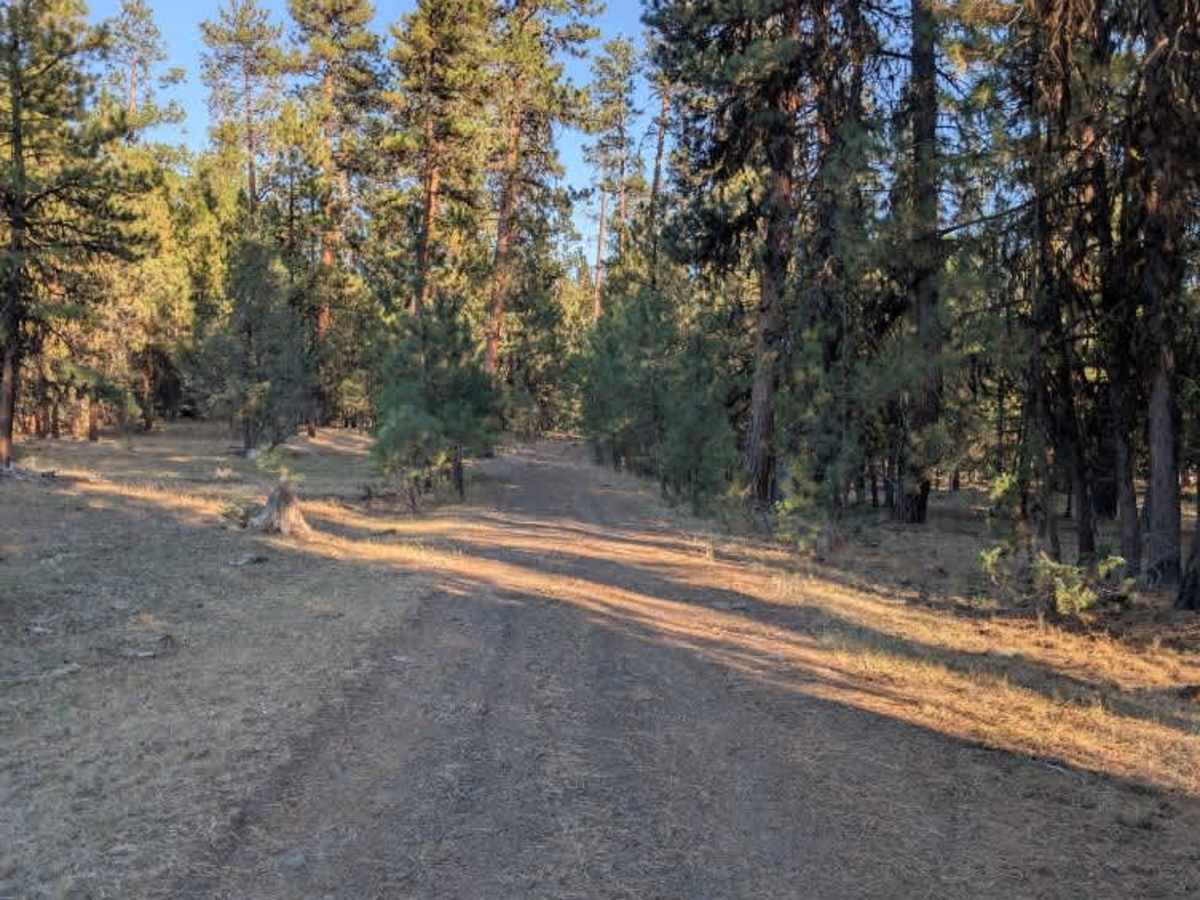
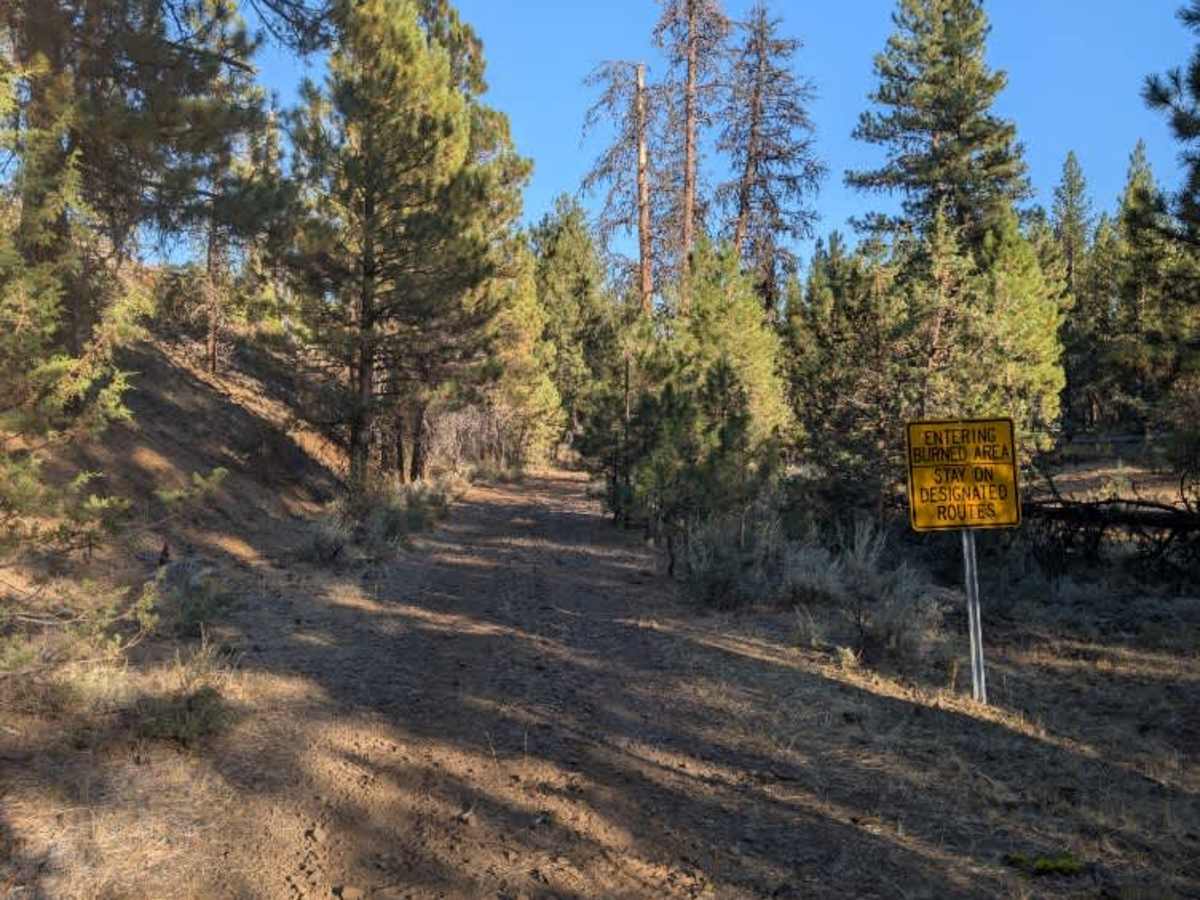
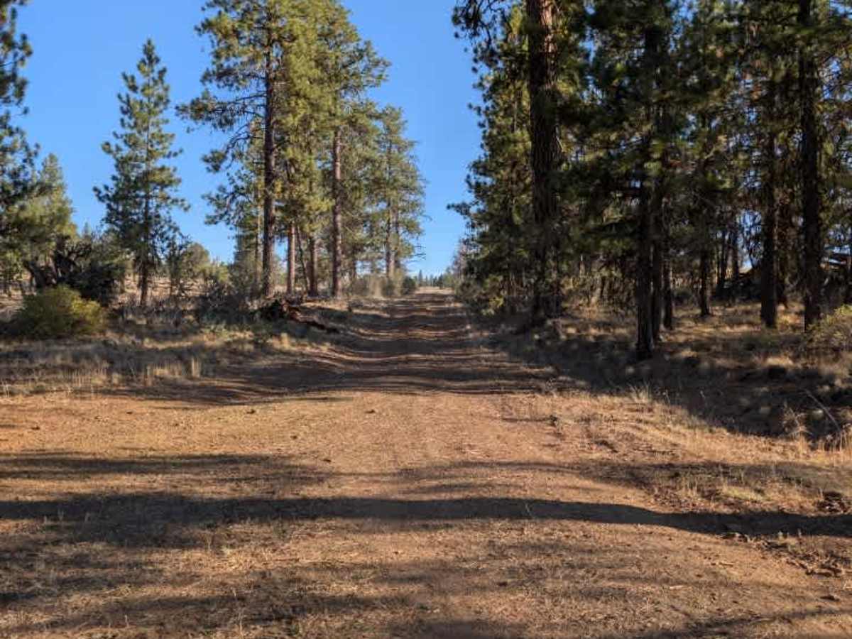
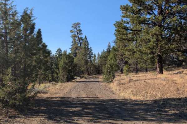
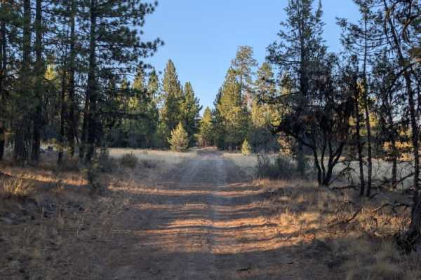
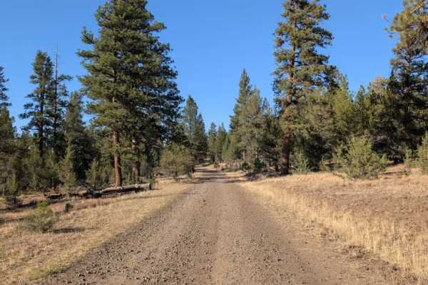
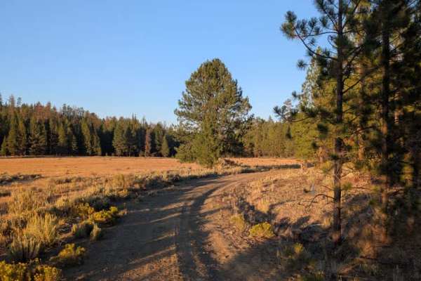
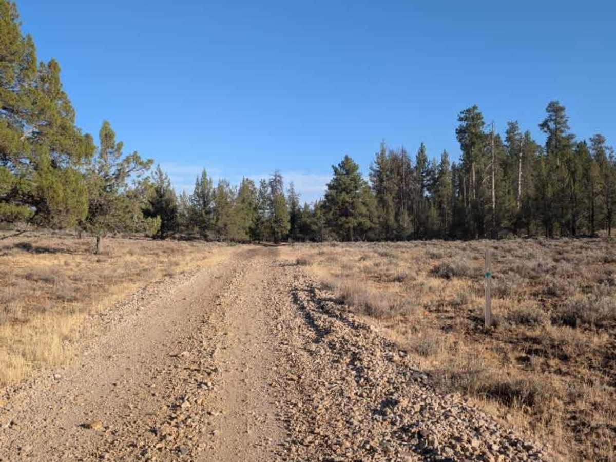
This connecting trail links two main routes and is relatively easy overall, though it has several obstacles along the way. The road has ruts, loose rocks, and sections where you need to maneuver around fallen logs. There are also some off-camber areas and deep holes up to about a foot deep, so careful line selection is important. The trail passes through a mix of forest and more open alpine areas, with sections that open up into fields. Several dried mud pits also line the route. These were dry during the survey, but they will likely become muddy and more challenging after rainfall, so conditions could change significantly depending on the weather. Despite the uneven terrain and variety of obstacles, the trail was enjoyable to ride and did not present any major difficulties during the survey. Overall, it is a scenic connector with enough ruts, rocks, off-camber sections, and seasonal mud to keep things interesting. ATVs, UTVs, Side-by-Sides, and Dirt Bikes must always have a valid Oregon ATV Operating Permit sticker.

Photos of FS 4230500

Difficulty

The route is mostly manageable but becomes more challenging around the ruts, off-camber sections, and mud pits.

Technical Rating

2

FS 4230500 Trail can be accessed by the following ride types:

  • Single Track
  • 50 Inch
  • 60 Inch
  • High Clearance
  • Full Width

FS 4230500 Map

The onX Offroad Difference

onX Offroad combines trail photos, descriptions, difficulty ratings, width restrictions, seasonality, and more in a user-friendly interface. Available on all devices, with offline access and full compatibility with CarPlay and Android Auto. Discover what you're missing today!

Open Trail Map