Trail Overview
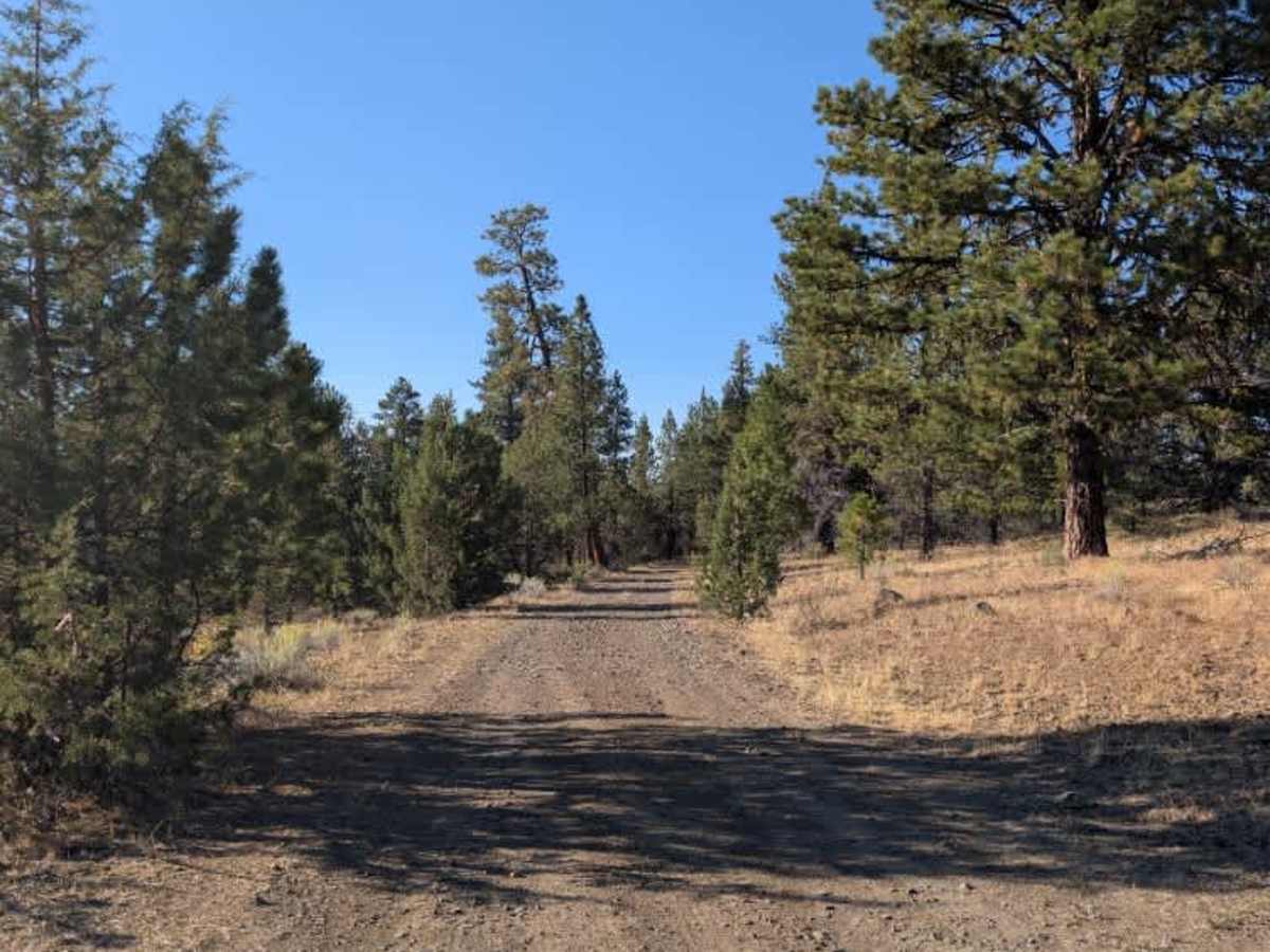
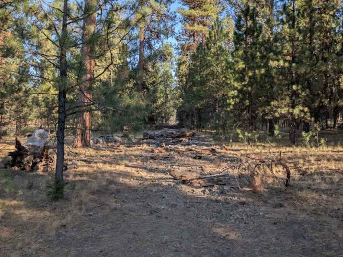
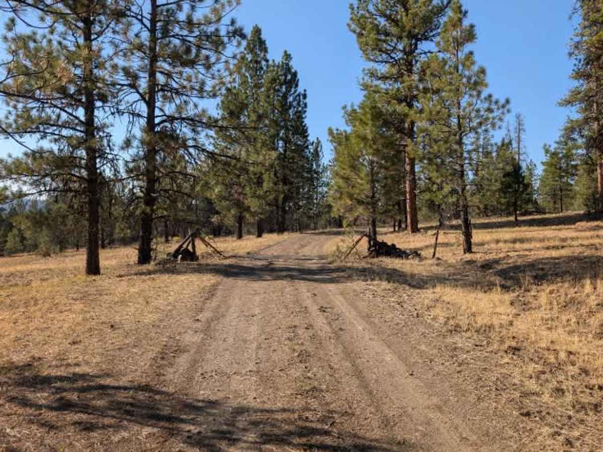
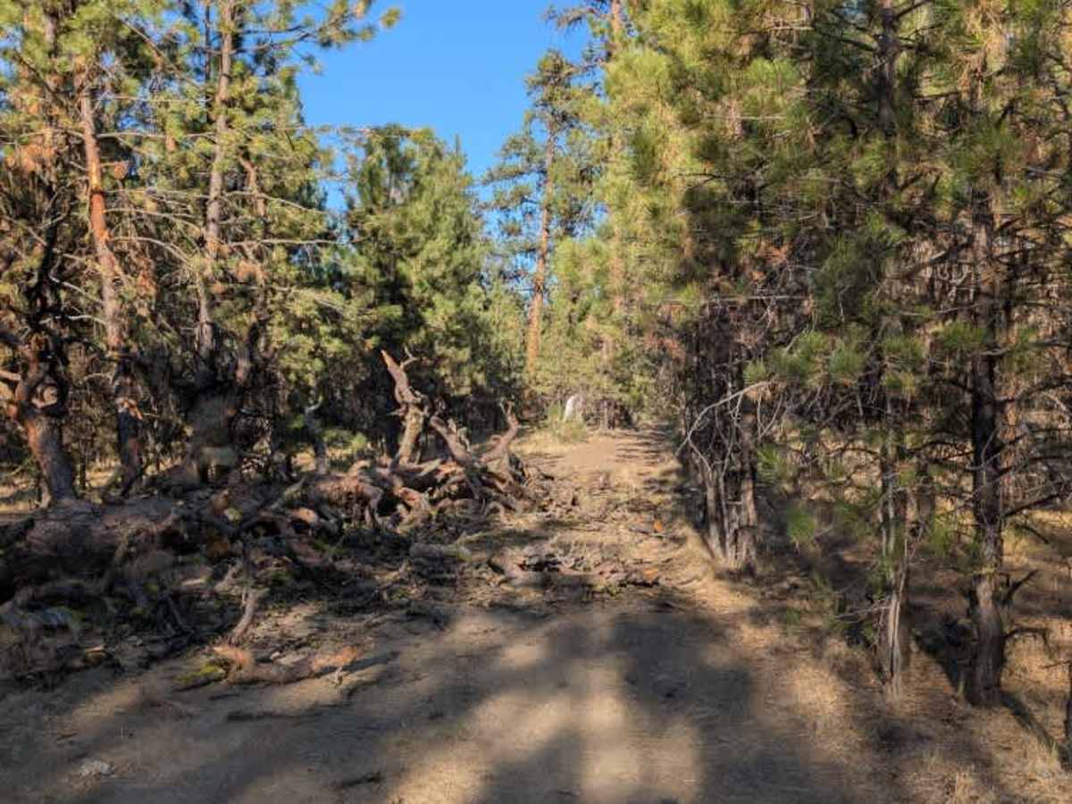
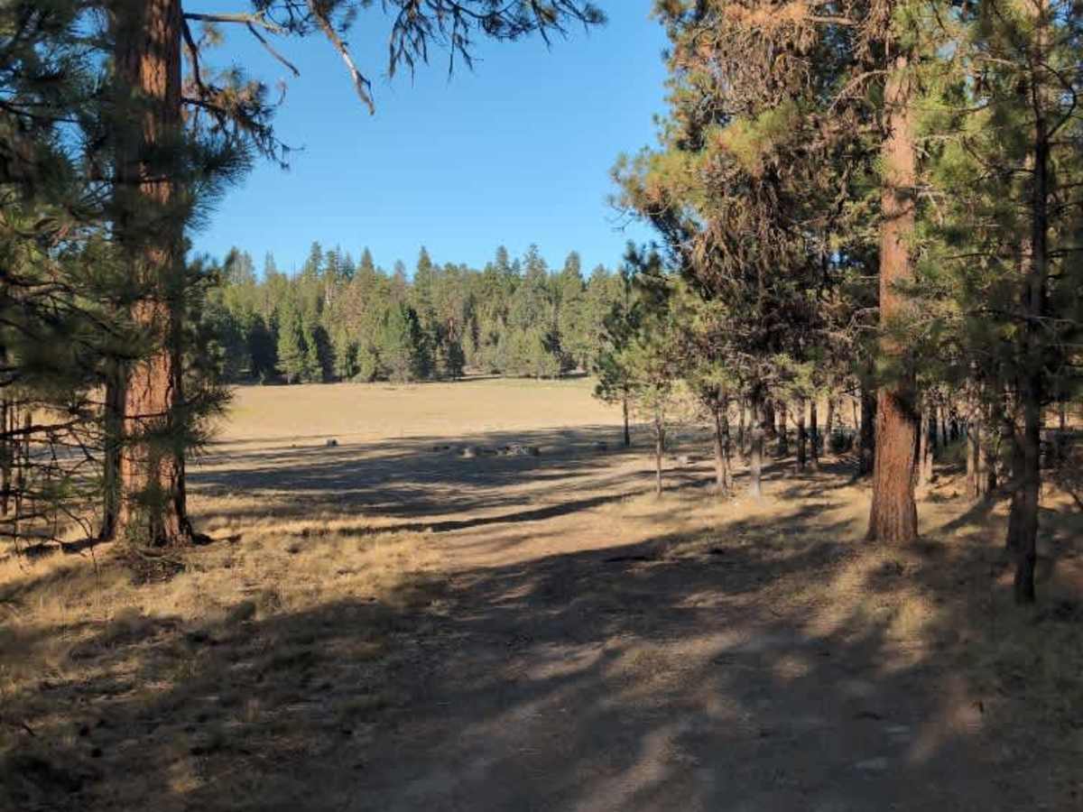
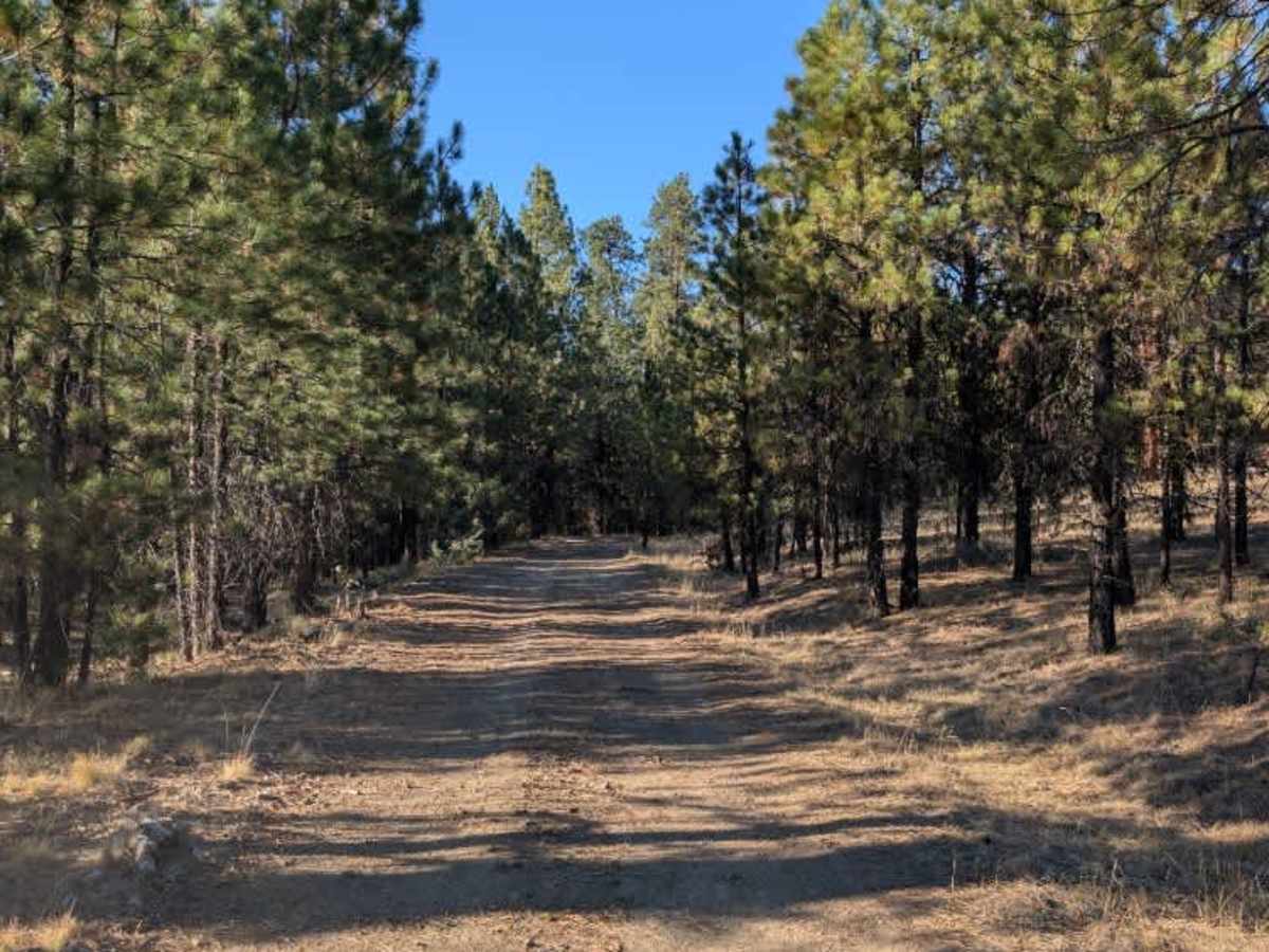
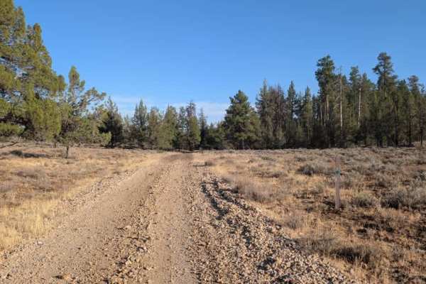
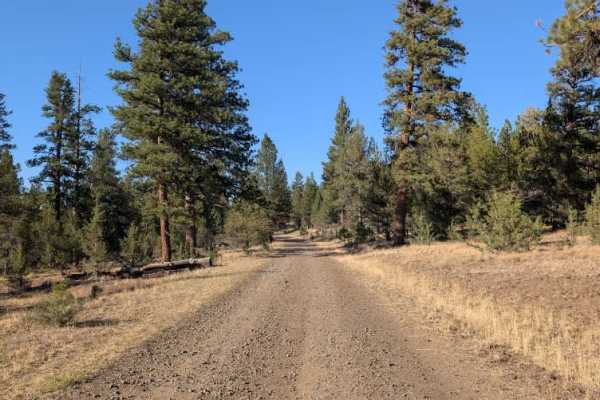
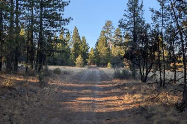
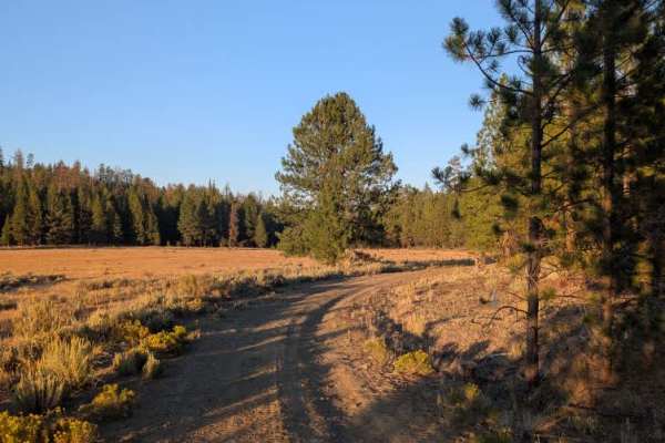
This short branch trail leads to a beautiful open field and a popular-looking dispersed camping area. The route is generally pleasant, but a few obstacles are worth noting along the way. A fallen tree was blocking part of the road and was cleared enough to get through, although it may need further clearing for wider vehicles. Most of the branches appear to have broken on impact, so it should not be especially difficult to remove. There are also a couple of larger ditches and potholes along the trail that require some attention. Near the end, the road becomes a little confusing. Logs have been placed across part of the original route, with additional fallen trees farther ahead. People appear to have created an alternate path to the left that leads toward the edge of the field and the camping area. The open field at the end is a particularly nice spot, and there is evidence of previous dispersed camping along its edge. Overall, this is a scenic little branch trail with a few obstacles and some rough spots, but nothing particularly difficult if you take your time. ATVs, UTVs, Side-by-Sides, and Dirt Bikes must always have a valid Oregon ATV Operating Permit sticker.
Difficulty
A few ditches, potholes, and fallen trees create mild difficulty along this otherwise easy branch trail.

 Offroad