FS 4225050

Total Miles2.6
Technical Rating
1Easy
Best TimeSpring, Summer, Fall
Trail TypeFull-Width Road
Accessible By
Open Trail Map

Trail Overview

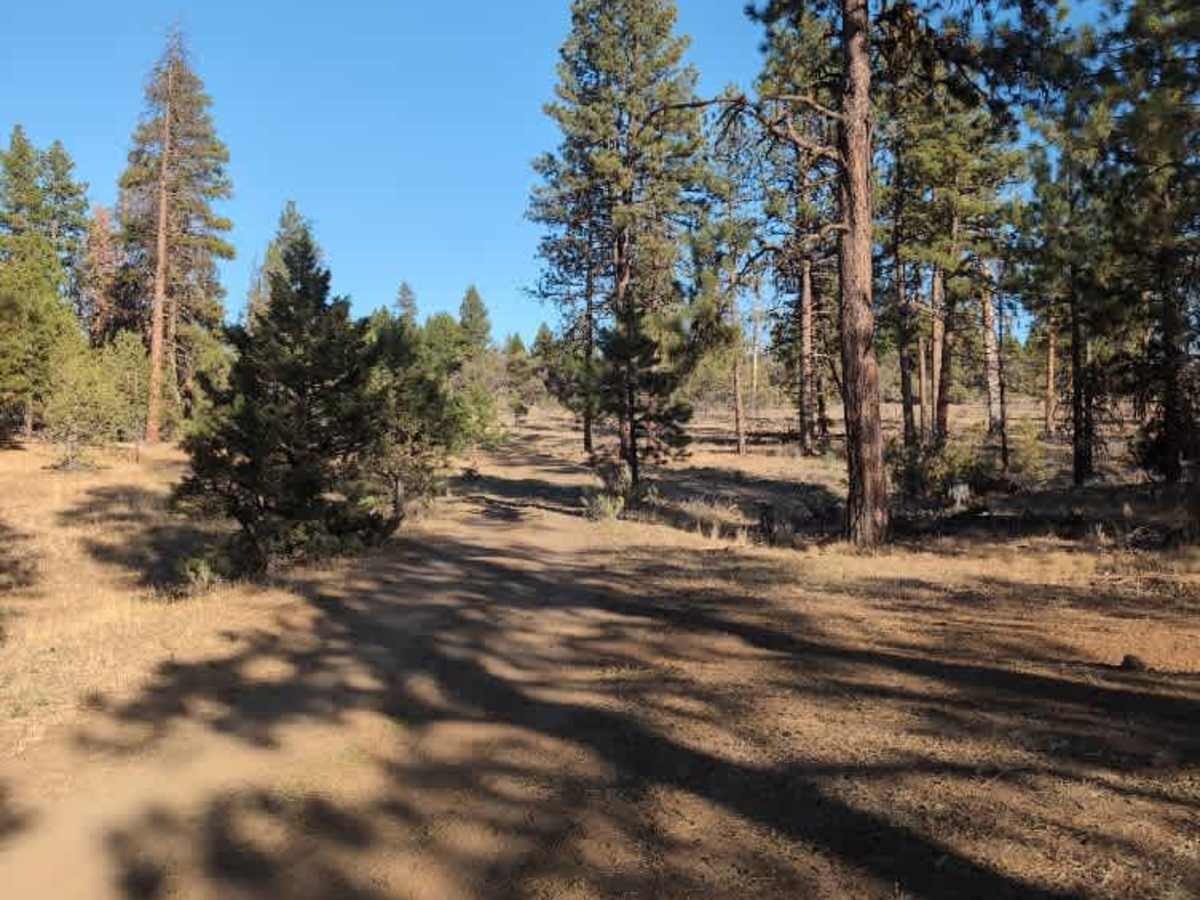
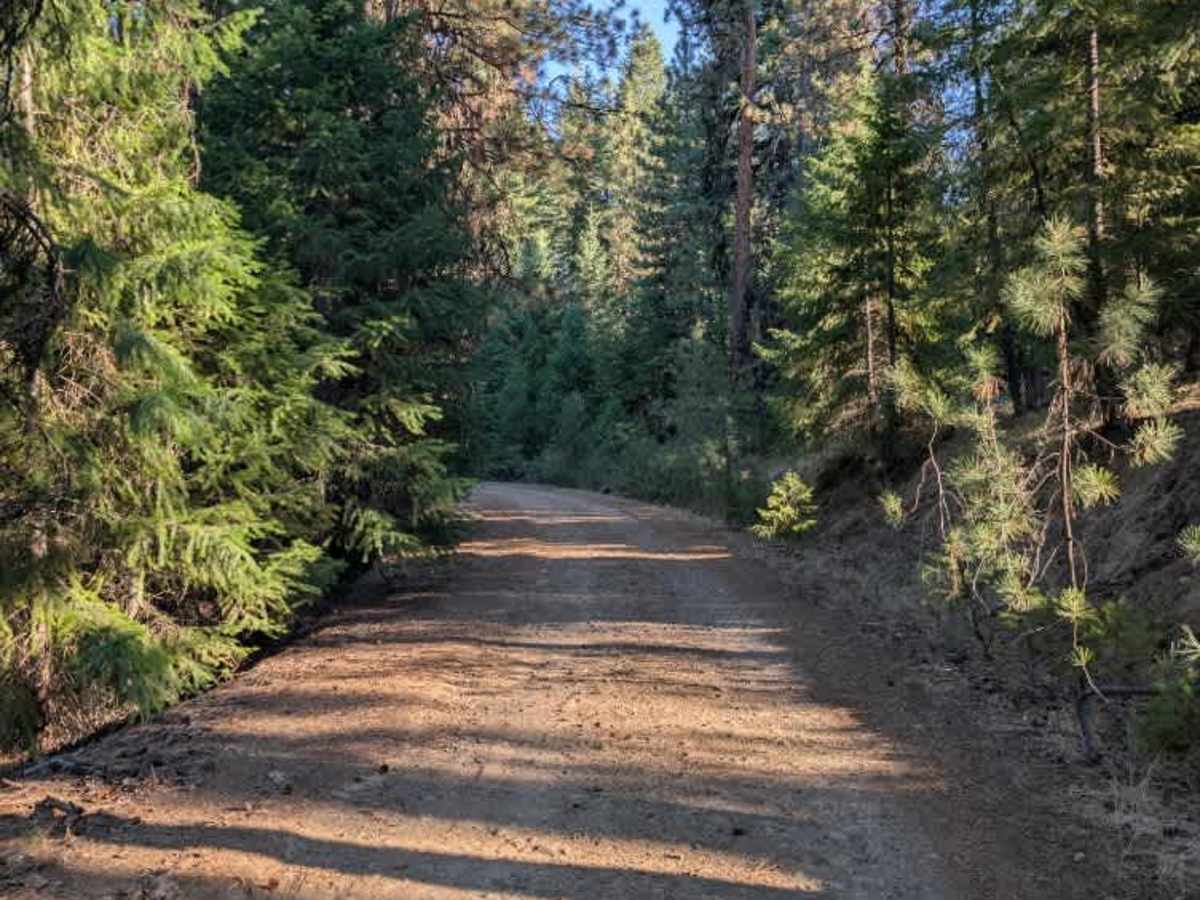
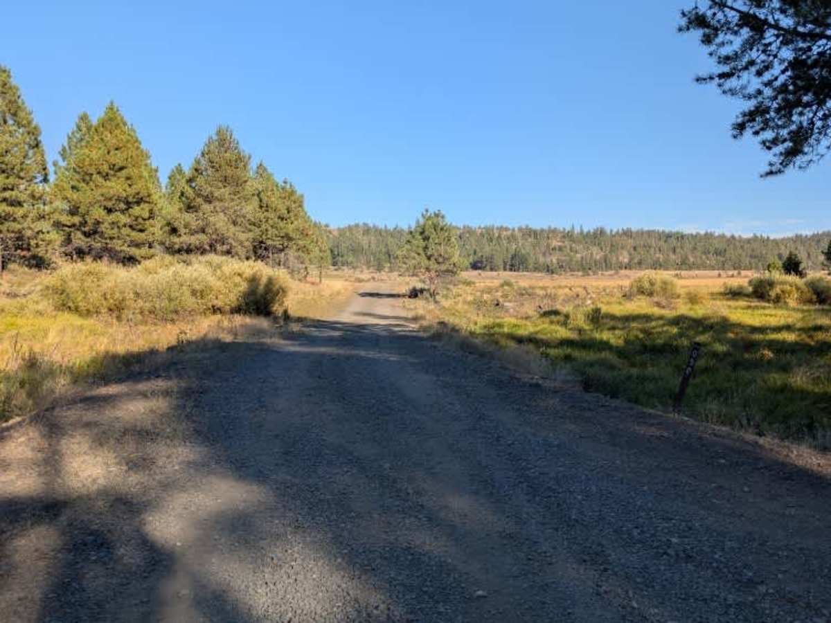
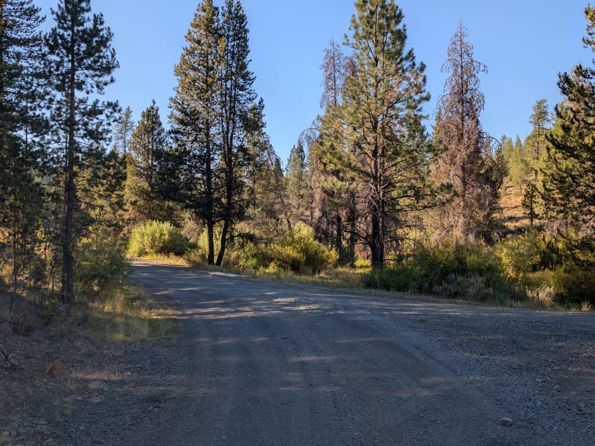
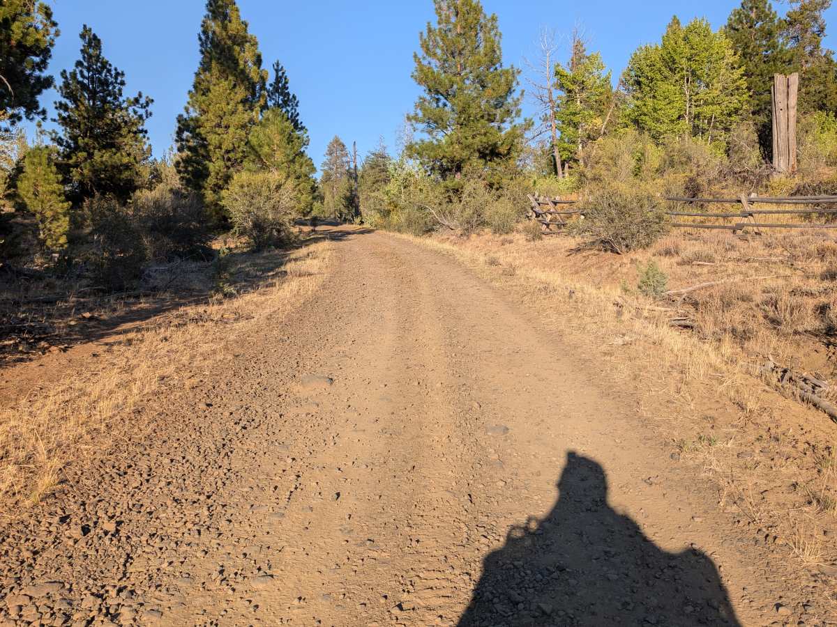
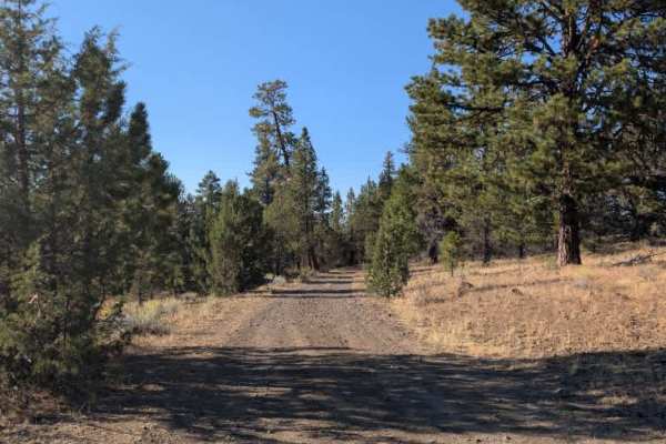
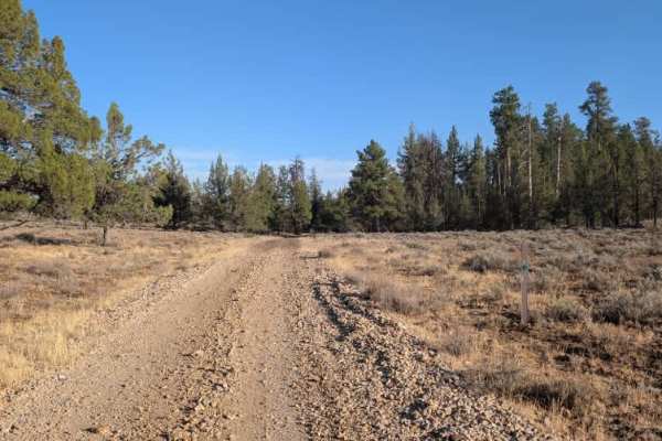
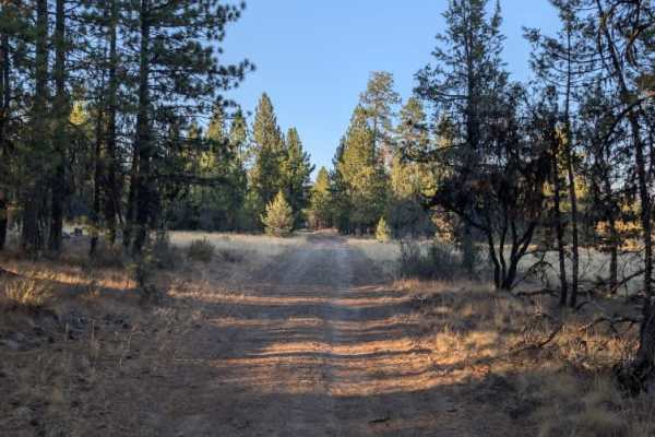
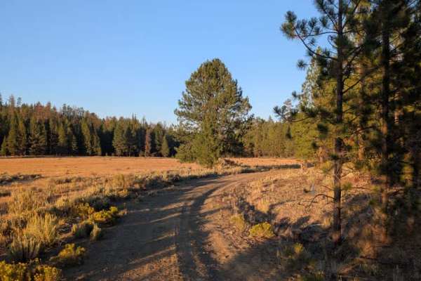
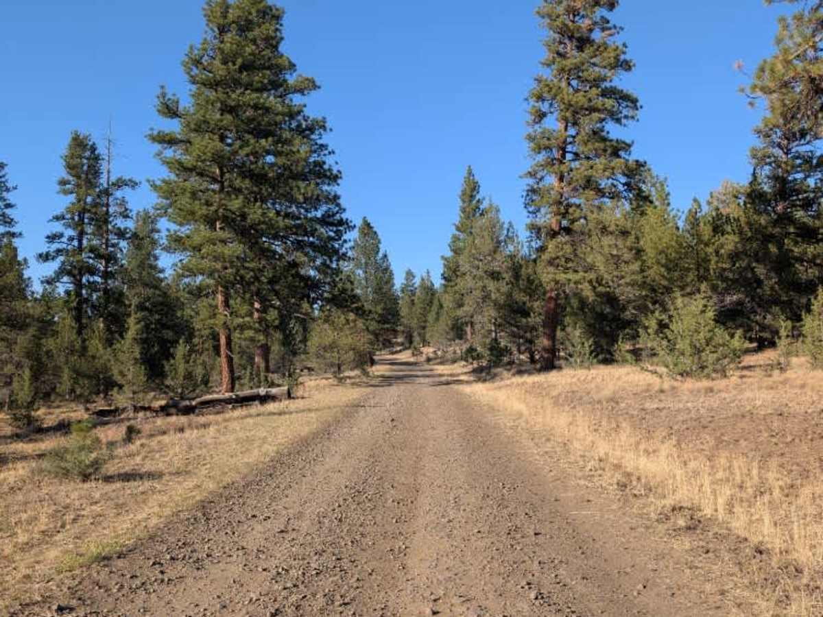
This is a well-maintained connecting route between two main arterial trails. The road is mostly gravel and remains in good condition for most of its length, with a few bumps and uneven sections, but nothing particularly concerning. No fallen trees blocked the roadway during the survey, although some trees were close to the road. The route passes through a mix of open fields and forested sections, providing variety without adding much difficulty. Overall, it is a straightforward connector that provides an easy way to travel between the larger routes without any significant obstacles or challenging terrain. ATVs, UTVs, Side-by-Sides, and Dirt Bikes must always have a valid Oregon ATV Operating Permit sticker.

Photos of FS 4225050

Difficulty

The good road conditions and minimal obstacles make this an easy connecting route.

Technical Rating

1

FS 4225050 Trail can be accessed by the following ride types:

  • Single Track
  • 50 Inch
  • 60 Inch
  • High Clearance
  • Full Width

FS 4225050 Map

The onX Offroad Difference

onX Offroad combines trail photos, descriptions, difficulty ratings, width restrictions, seasonality, and more in a user-friendly interface. Available on all devices, with offline access and full compatibility with CarPlay and Android Auto. Discover what you're missing today!

Open Trail Map