FS 4225000

Total Miles4.8
Technical Rating
1Easy
Best TimeSpring, Summer, Fall
Trail TypeFull-Width Road
Accessible By
Open Trail Map

Trail Overview

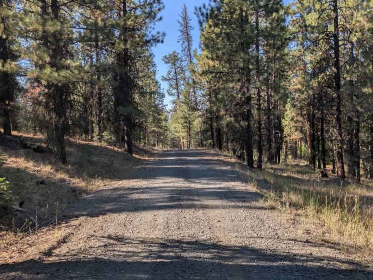
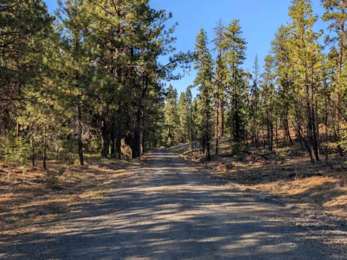
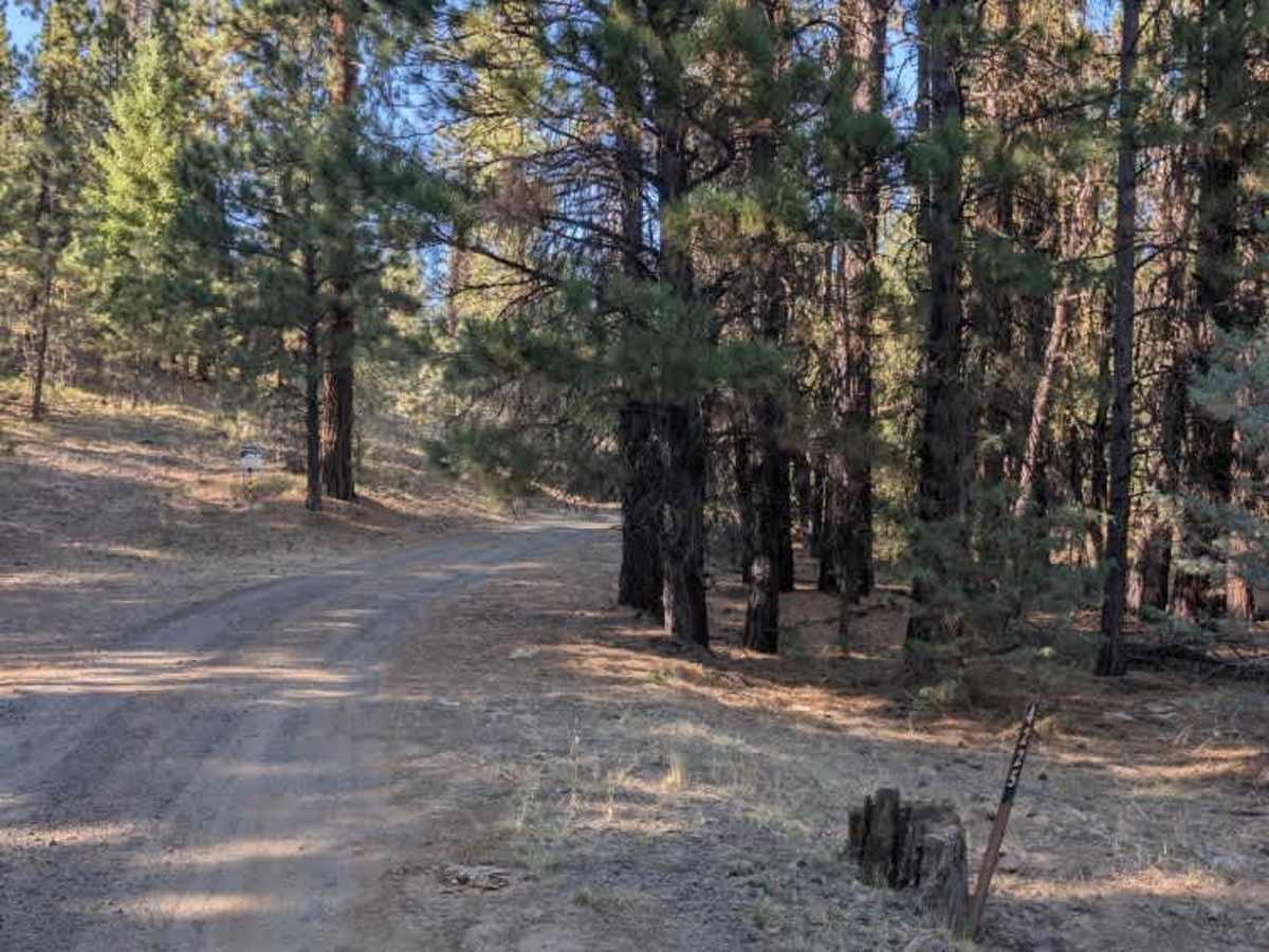
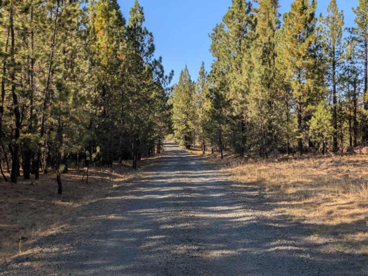
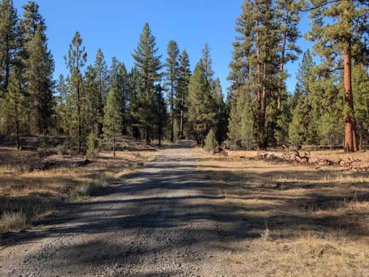
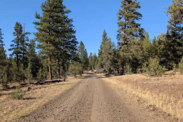
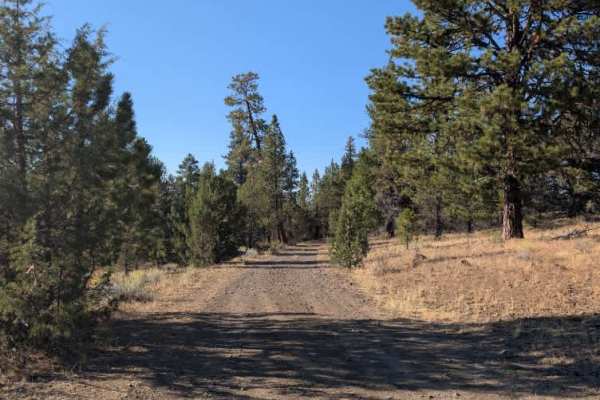
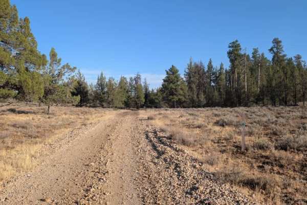
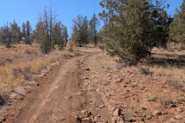
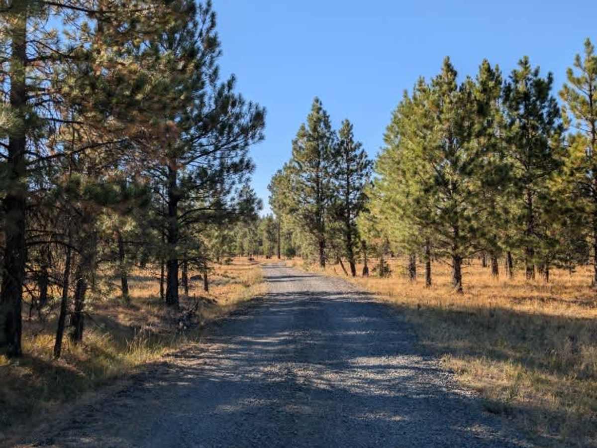
This is a graded connecting route between two main arterial trails. Although it is not actively maintained, the road is in good condition overall, with no fallen trees blocking the route or creating any significant clearance issues. The surface is straightforward and makes for an easy drive through the surrounding forest. Some logging activity is underway in the area, so watch for logging trucks, work vehicles, and equipment that may be operating or parked along the route. Otherwise, there are no major obstacles or difficult sections to be concerned about. Overall, this is a simple and scenic connector that gets you between the larger routes without much difficulty. The lack of active maintenance means conditions could change over time, particularly with ongoing logging activity, but it was in good shape during the survey. ATVs, UTVs, Side-by-Sides, and Dirt Bikes must always have a valid Oregon ATV Operating Permit sticker.

Photos of FS 4225000

Difficulty

The good road conditions and lack of major obstacles make this an easy connector.

Technical Rating

1

FS 4225000 Trail can be accessed by the following ride types:

  • Single Track
  • 50 Inch
  • 60 Inch
  • High Clearance
  • Full Width

FS 4225000 Map

The onX Offroad Difference

onX Offroad combines trail photos, descriptions, difficulty ratings, width restrictions, seasonality, and more in a user-friendly interface. Available on all devices, with offline access and full compatibility with CarPlay and Android Auto. Discover what you're missing today!

Open Trail Map