Trail Overview
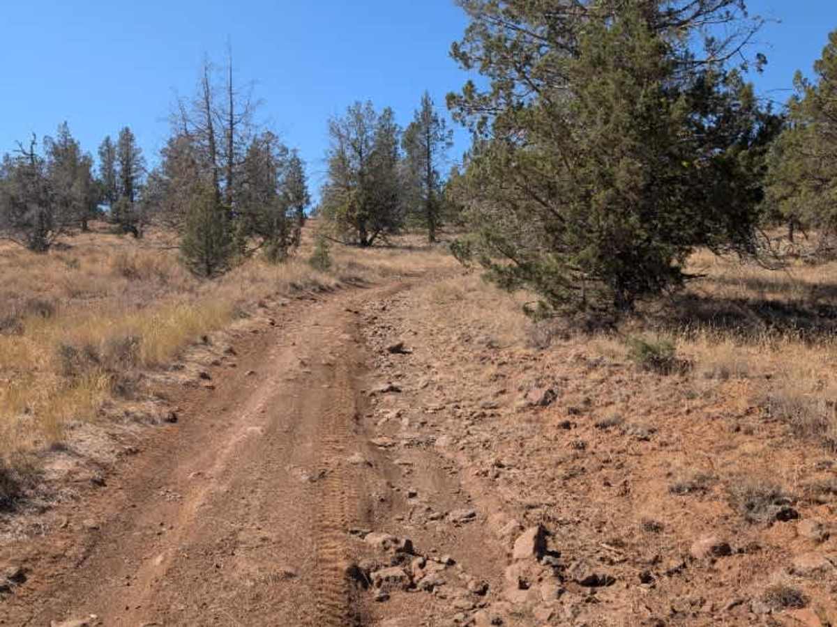
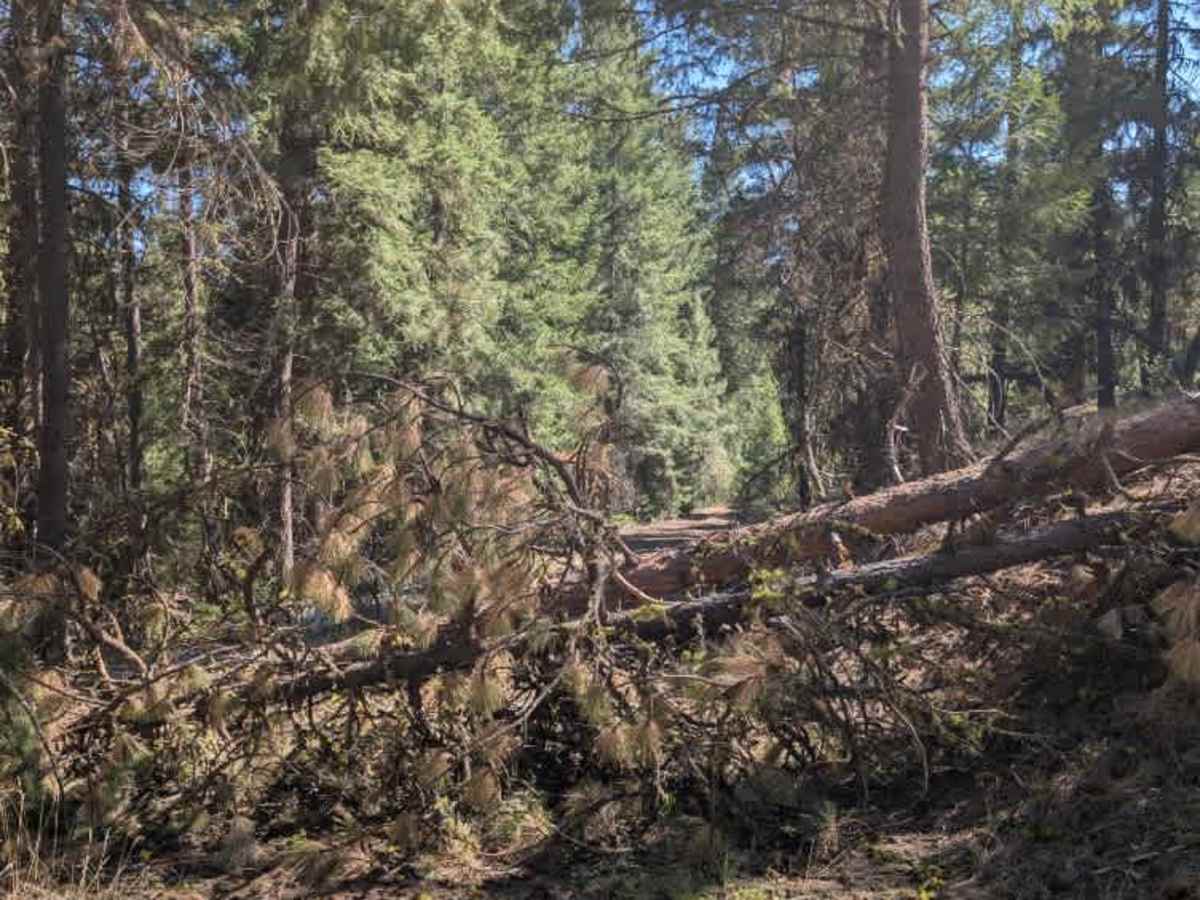
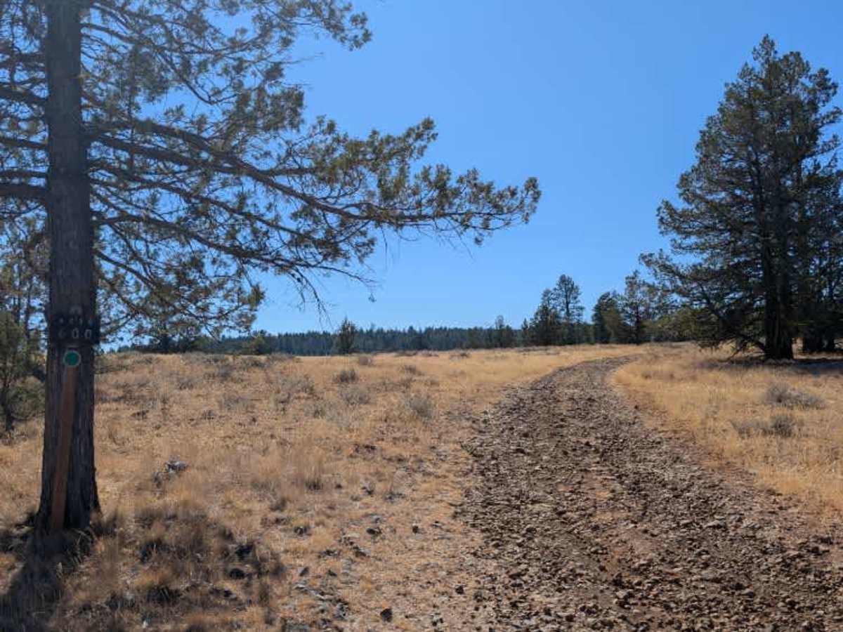
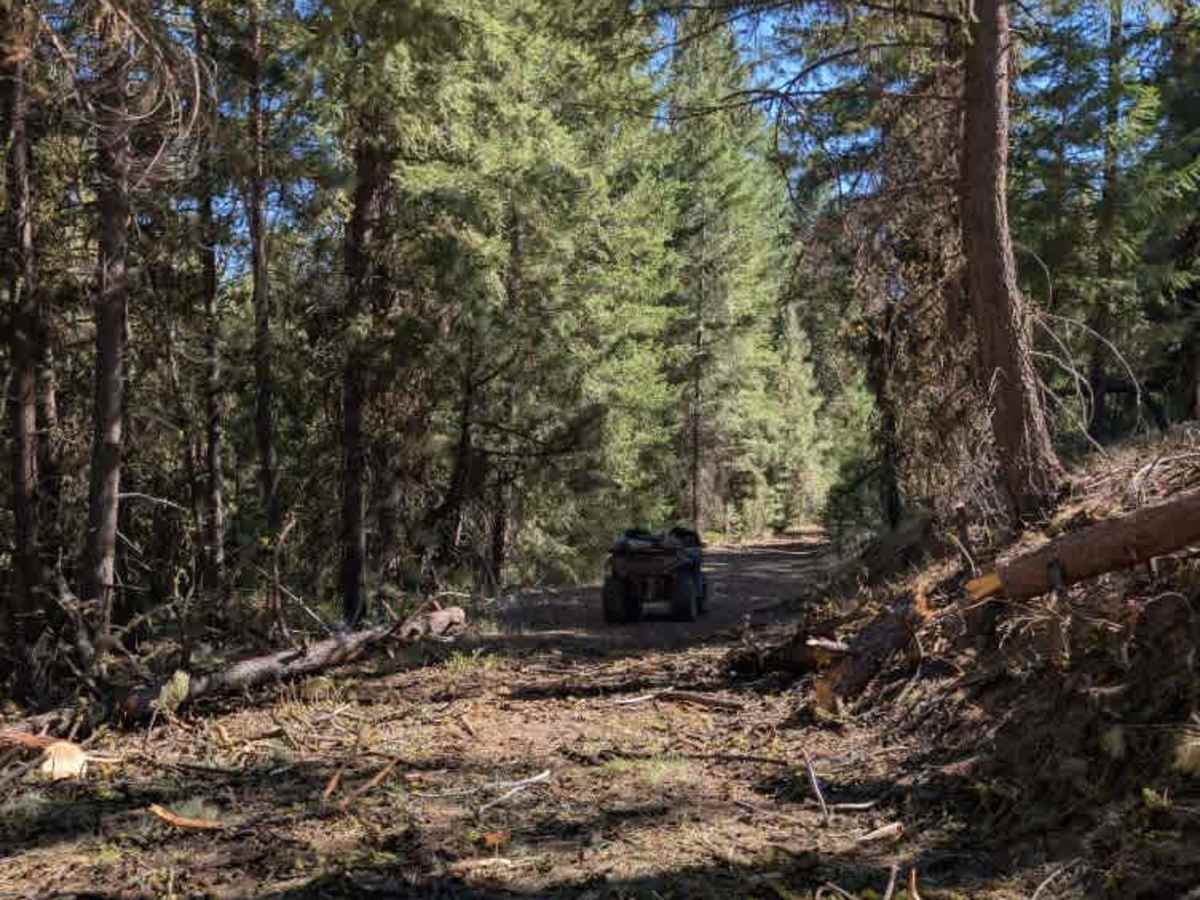
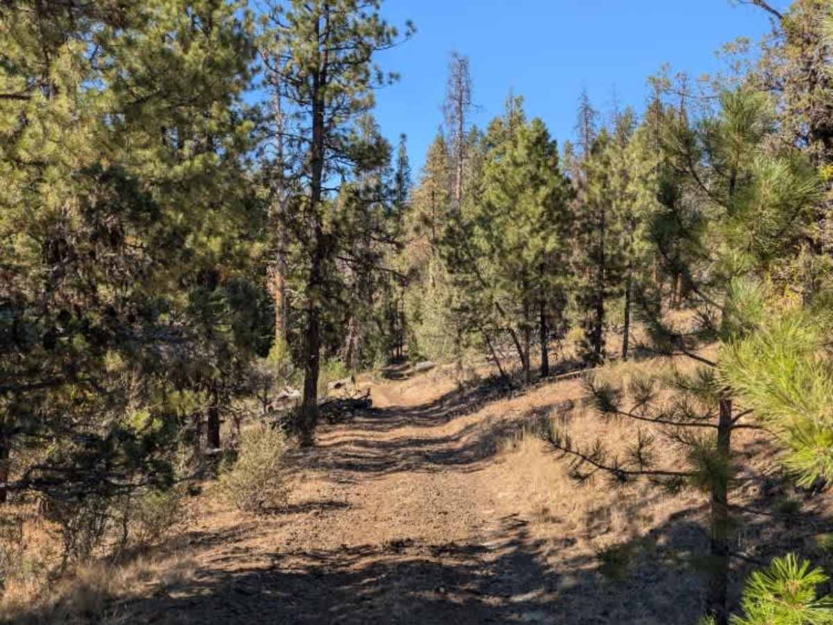
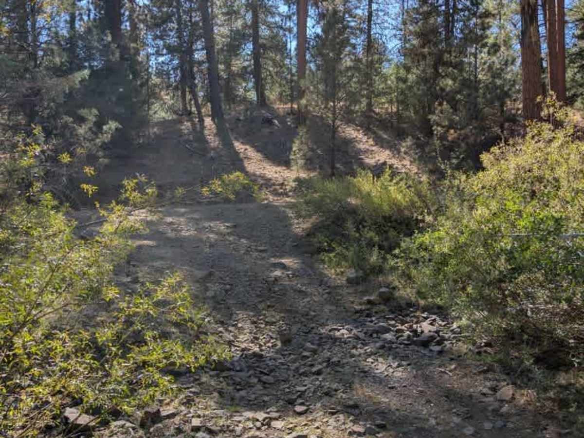
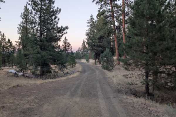
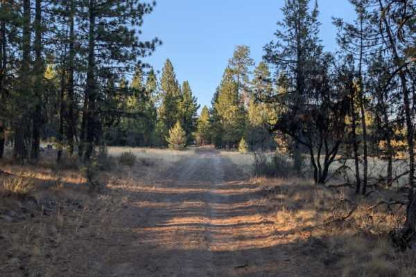
This is a relatively easy connecting trail that links two main routes along with another nearby trail. It is a small, unmaintained path that winds through the forest, with a mostly shaded, pleasant ride. The road has quite a few rocks and some rutted sections, but there were no major obstacles that made the trail particularly difficult. Watch for several fallen trees along the route. Two trees directly blocking the trail were cleared during the survey. Narrower 4x4 vehicles should be able to get through, but wider rigs, campers, or other large vehicles may have difficulty until the remaining debris is properly cleared. Near the connection with FS 4230, the route passes through a dry, rocky riverbed that requires some extra attention. Overall, the trail is a straightforward forest connector with some rocks, ruts, and debris keeping it at a light difficulty. Take care around the fallen trees and the rocky section near FS 4230. ATVs, UTVs, Side-by-Sides, and Dirt Bikes must always have a valid Oregon ATV Operating Permit sticker.
Difficulty
Rocks, ruts, and fallen trees create mild difficulty, with narrower vehicles better suited to the route.