Trail Overview
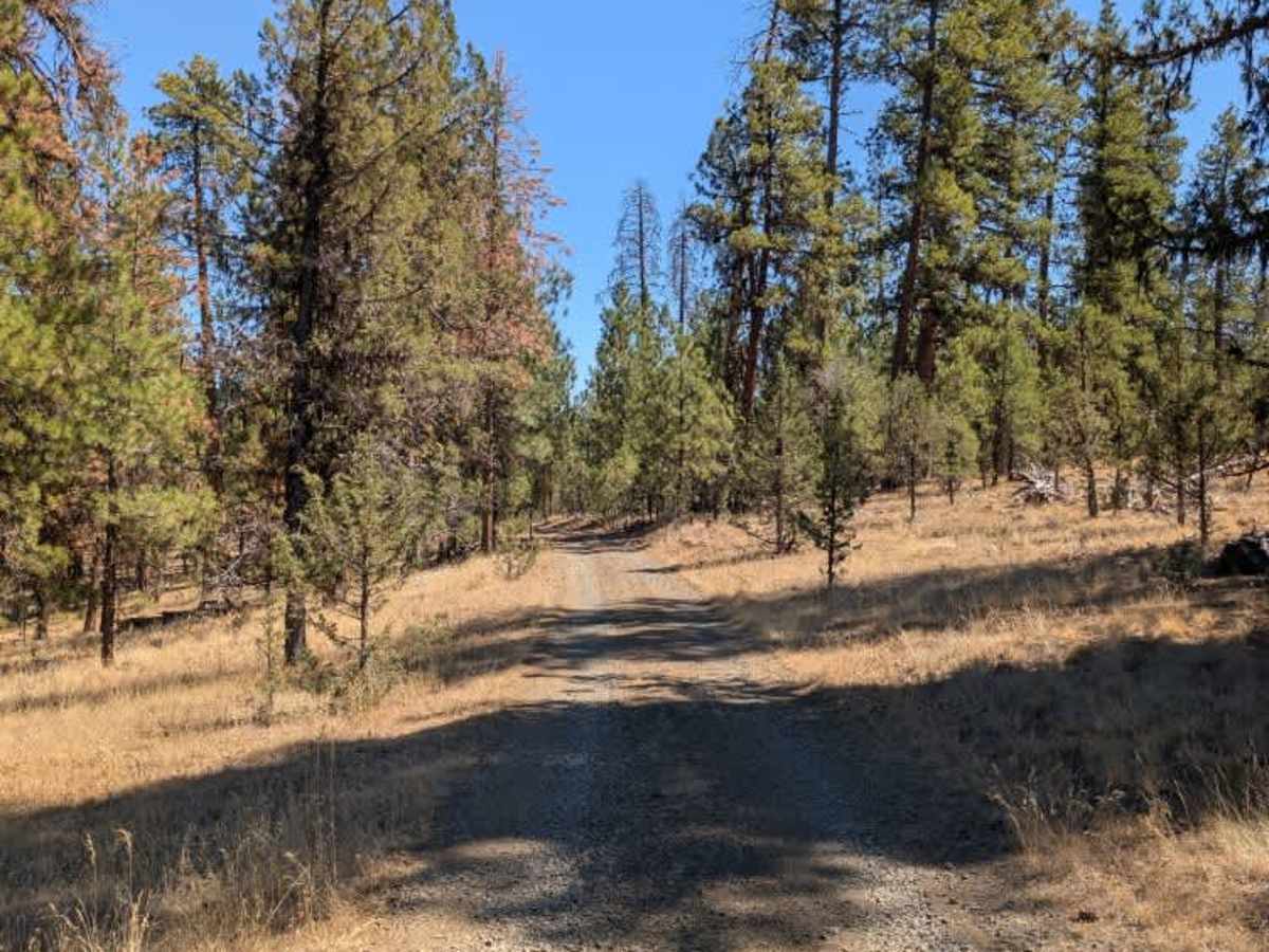
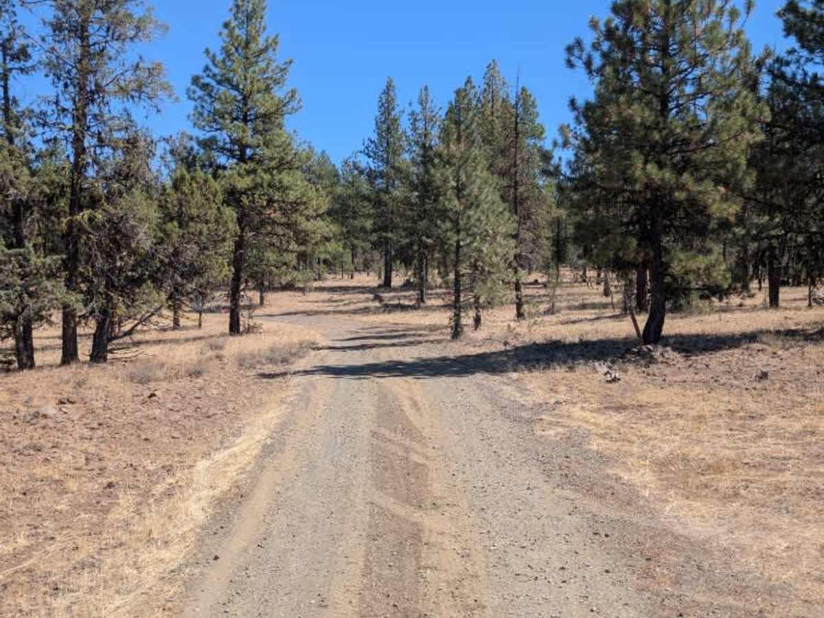
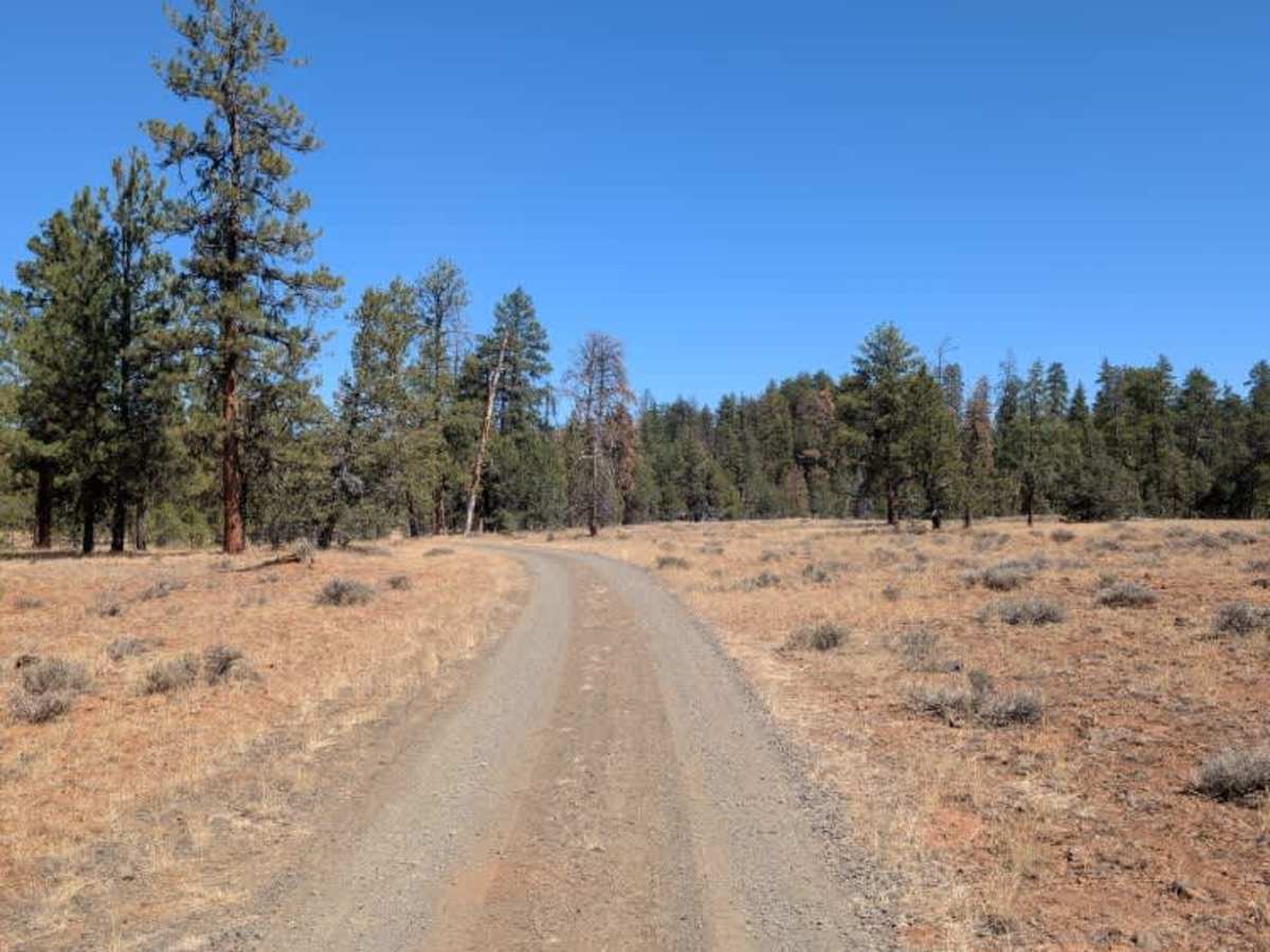
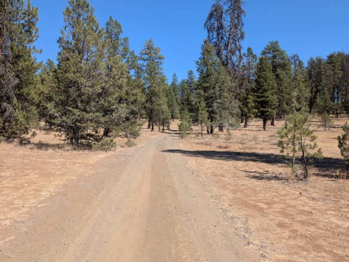
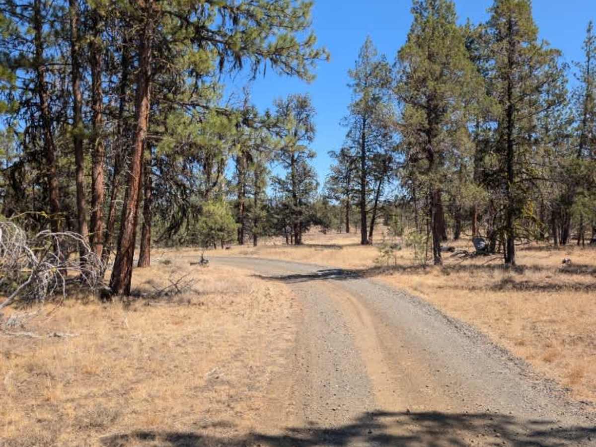
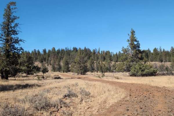
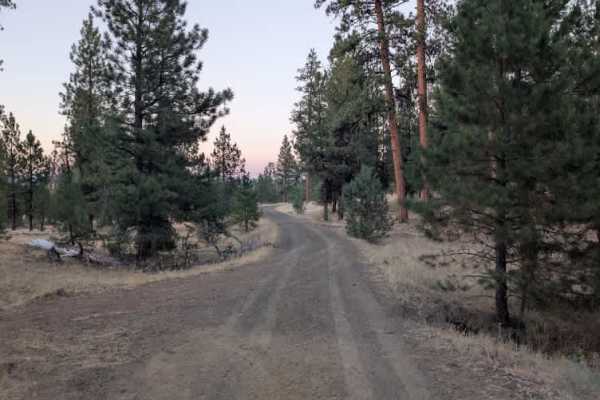
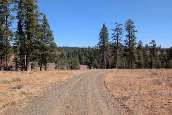
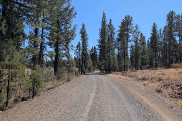
The road itself is in excellent condition and is surprisingly smooth, in some sections appearing better maintained than the main road. Near the mapped endpoint, the route becomes somewhat confusing, as the road appears to continue even though maps indicate that access is closed beyond that point. Near the end, there is a turnaround area with what appears to be a small dispersed camping spot. The surrounding forest is very dry, so take fire restrictions and posted access information seriously. Overall, this is a beautiful and well-maintained side route. This trail branches off the main route and appears to lead into a hunting area. The entrance is marked with a green dot, indicating that motorized vehicles are permitted, while routes marked with a red dot or no dot may not be open to motorized use. Maps showing these access designations were available at a station along FS 4240, and this trail is included on the posted maps. ATVs, UTVs, Side-by-Sides, and Dirt Bikes must always have a valid Oregon ATV Operating Permit sticker.
Difficulty
The smooth, well-maintained surface makes this an easy trail, with access restrictions near the endpoint being the main consideration.