Trail Overview
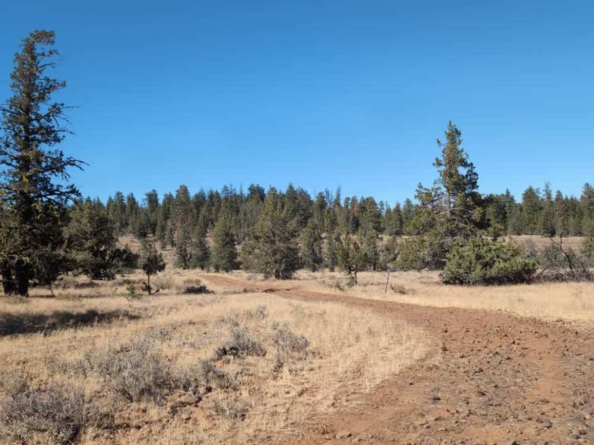
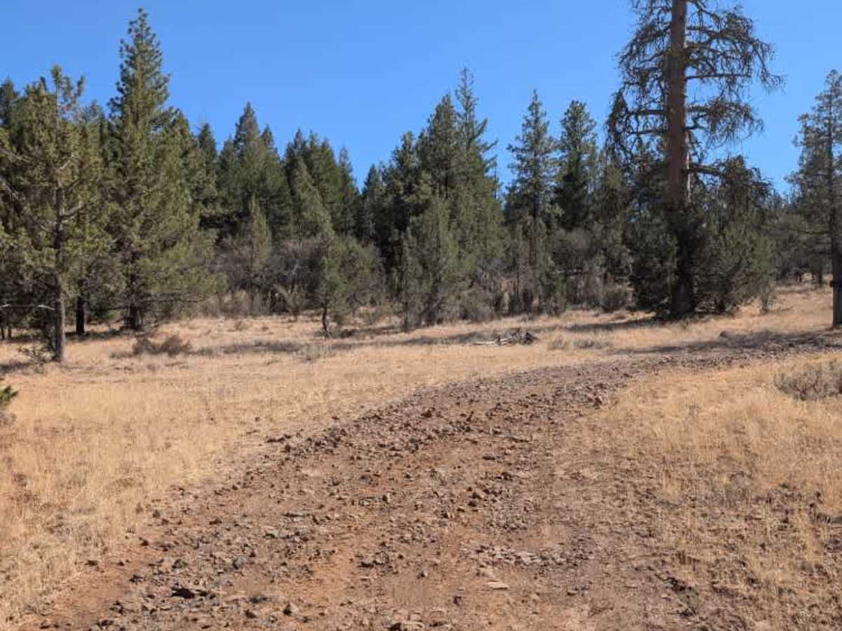
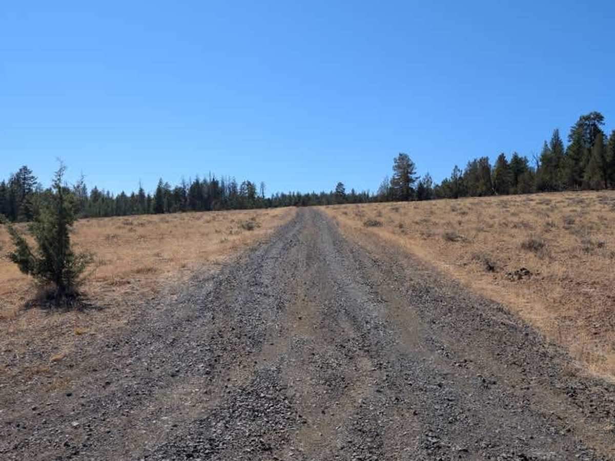
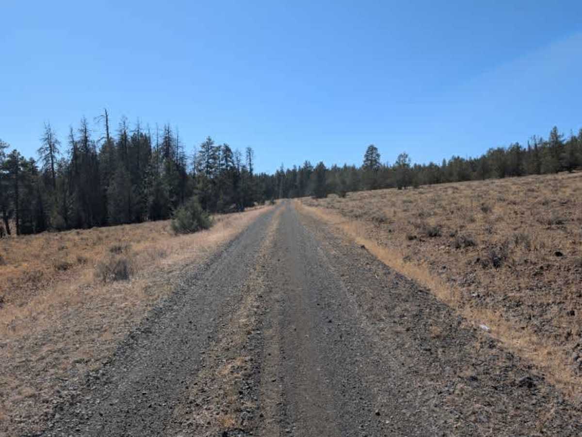
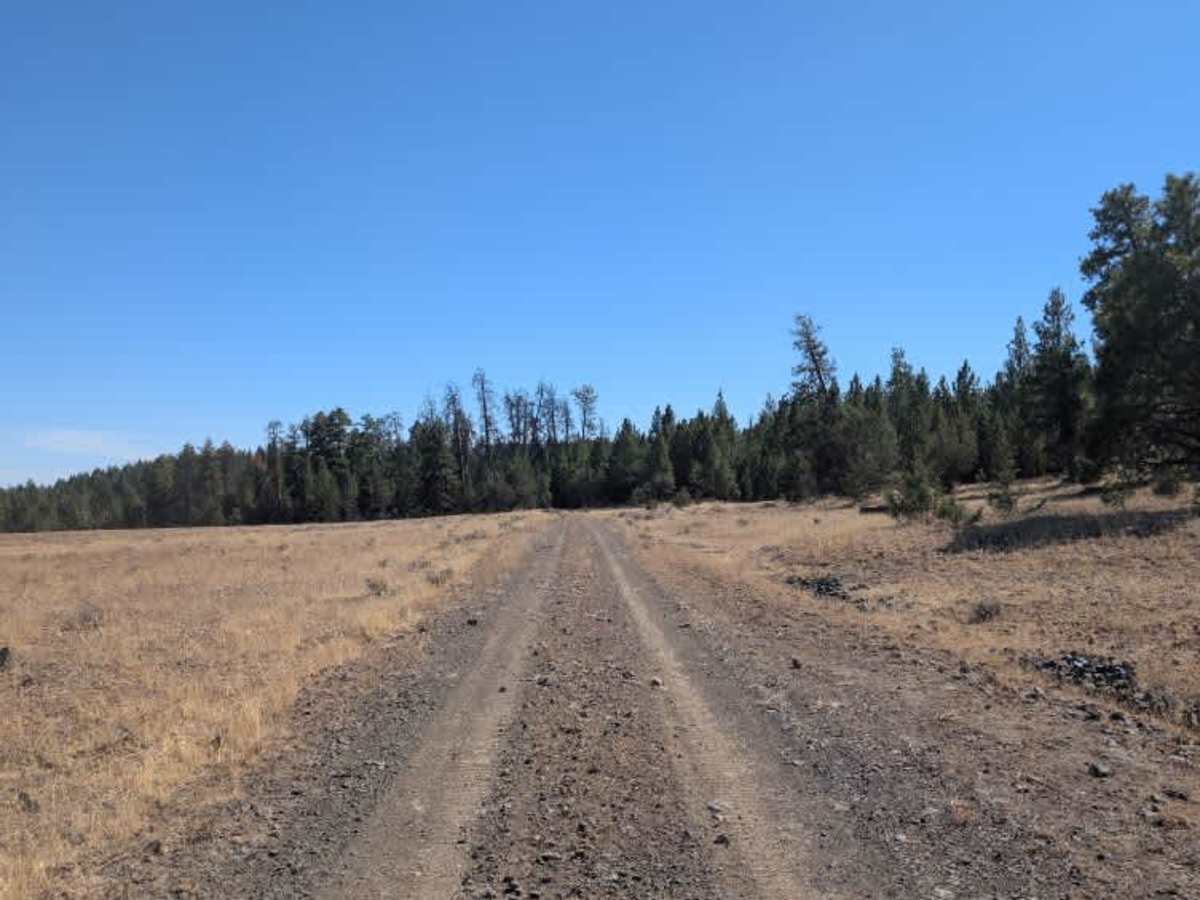
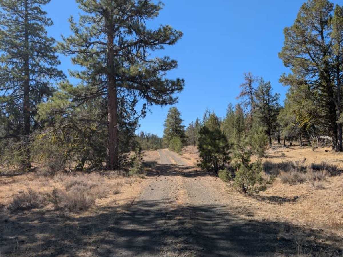
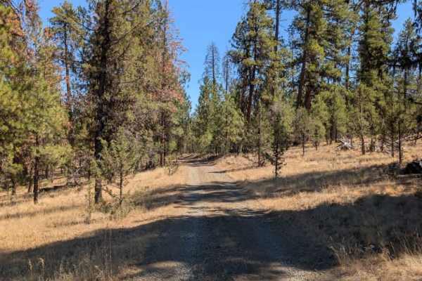
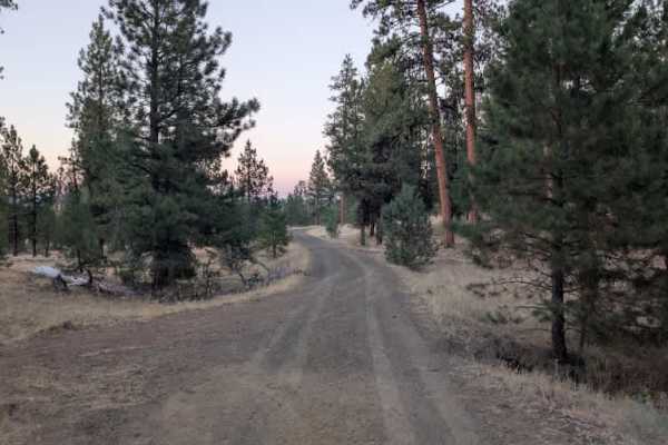
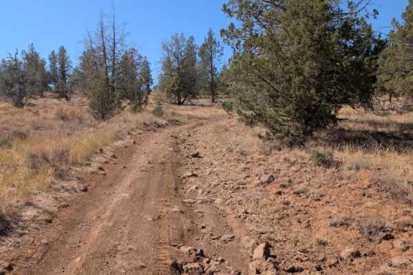
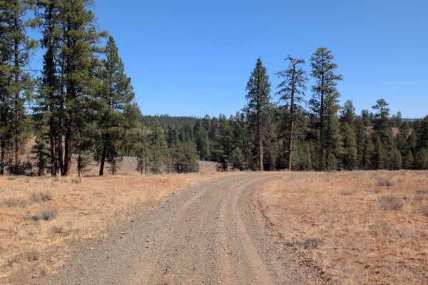
This unmaintained route branches off the main arterial road and continues through a mix of forested sections and more open areas. The trail dips and climbs gently as it winds through the landscape before eventually reaching its endpoint at the intersection with FS 4230600. Despite being unmaintained, the road was in fairly decent condition during the survey. There were some bumps and uneven sections along the way, but nothing particularly concerning for most vehicles. A few ruts appeared closer to the end as the trail approached the other trail, so take a little extra care through that final stretch. The changing scenery between forest and open areas makes for a pleasant ride, while the rougher sections near FS 4230600 add a little more interest to an otherwise easy trail. ATVs, UTVs, Side-by-Sides, and Dirt Bikes must always have a valid Oregon ATV Operating Permit sticker.