Trail Overview
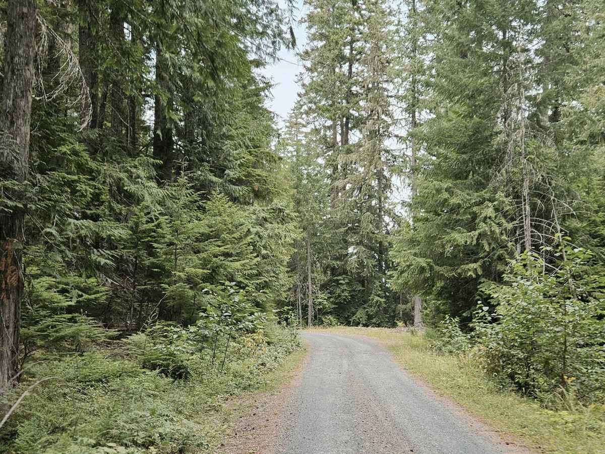
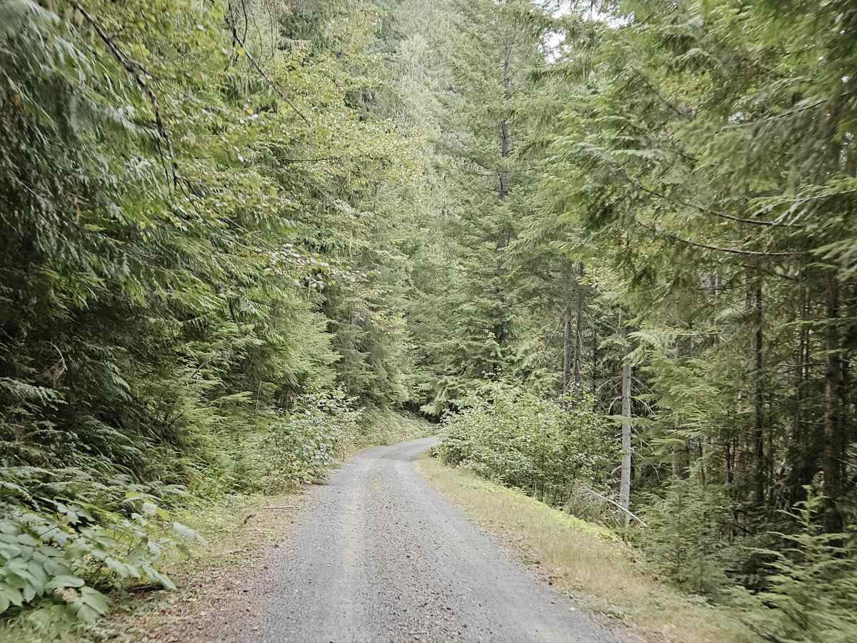
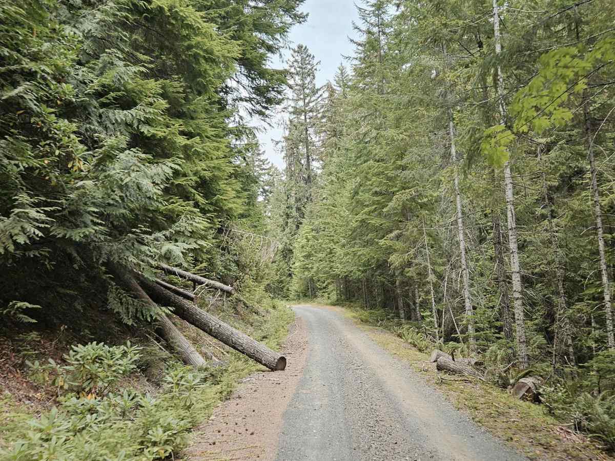
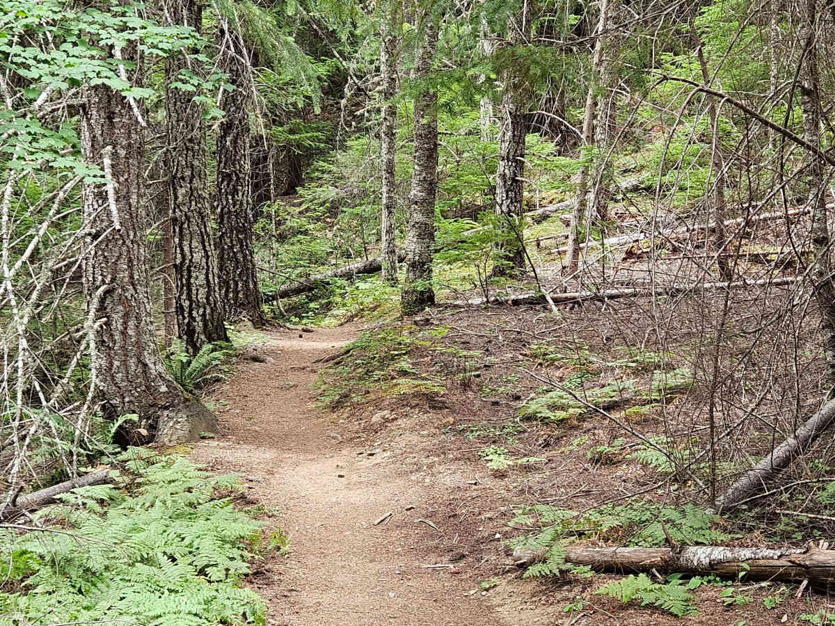
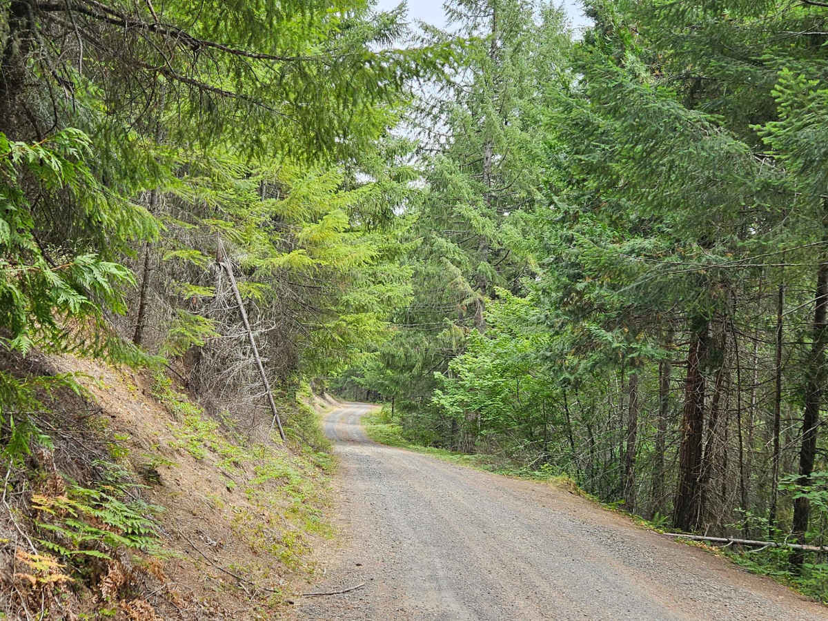
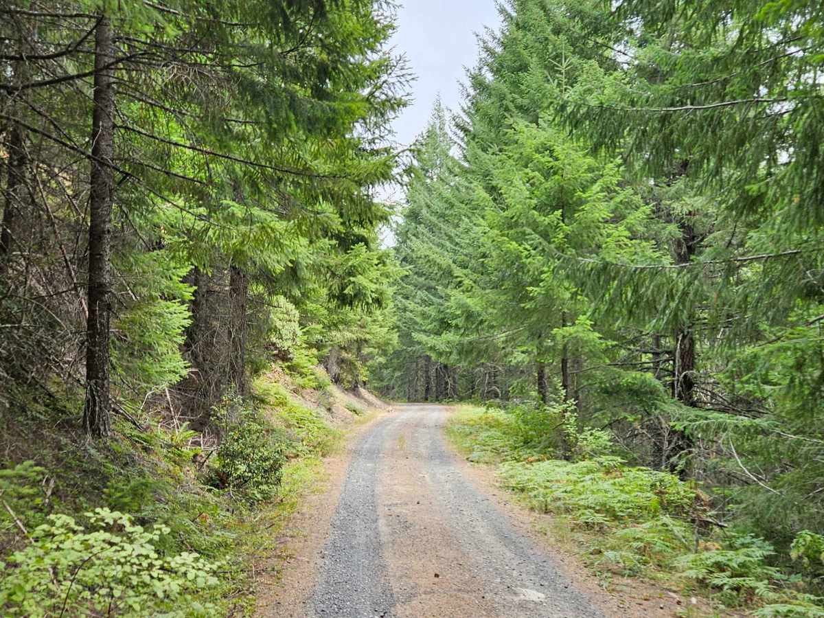
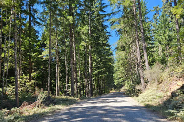
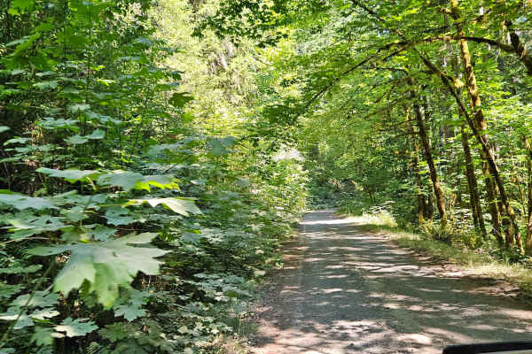
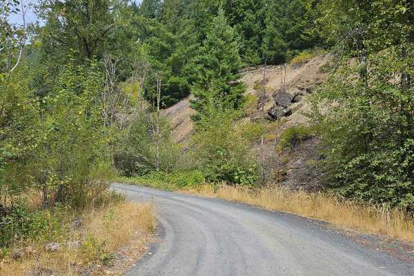
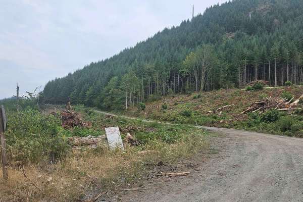
This forested trail begins at a split along the route toward the Castle Rock Trailhead and King Castle Trail. Several other trails cross or branch from the area, making it a useful access route for exploring the surrounding mountains. The road climbs steadily through the forest, with a steeper gravel section after an early turn. Some corrugation is more noticeable when traveling downhill, while the climb itself is fairly manageable. The road is maintained but not in pristine condition, and the steep uphill sections could become more challenging during the winter or wetter months. The route ends at a parking area that provides access to the trailhead. No vehicle route continues beyond this point, so the parking area is the appropriate endpoint. Overall, this is a scenic mountain road with a steady climb and some rougher sections, but it remains a straightforward drive in good conditions. ATVs, UTVs, Side-by-Sides, and Dirt Bikes must always have a valid Oregon ATV Operating Permit sticker.