Trail Overview
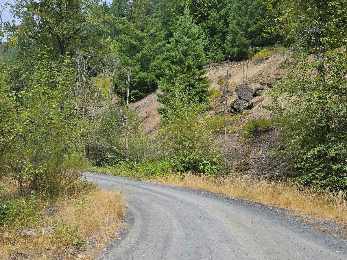
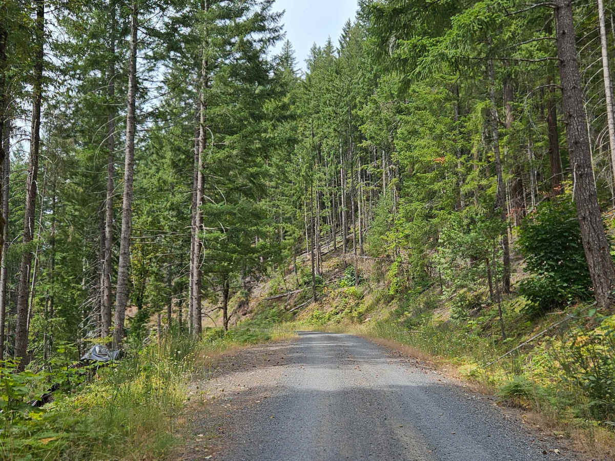
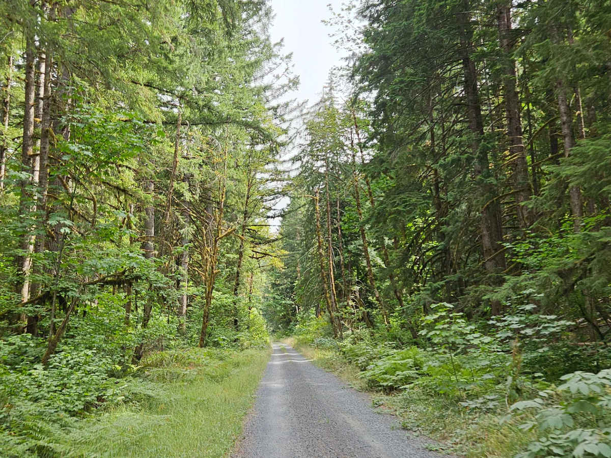
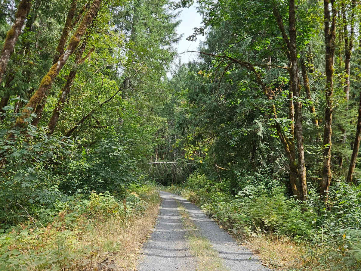
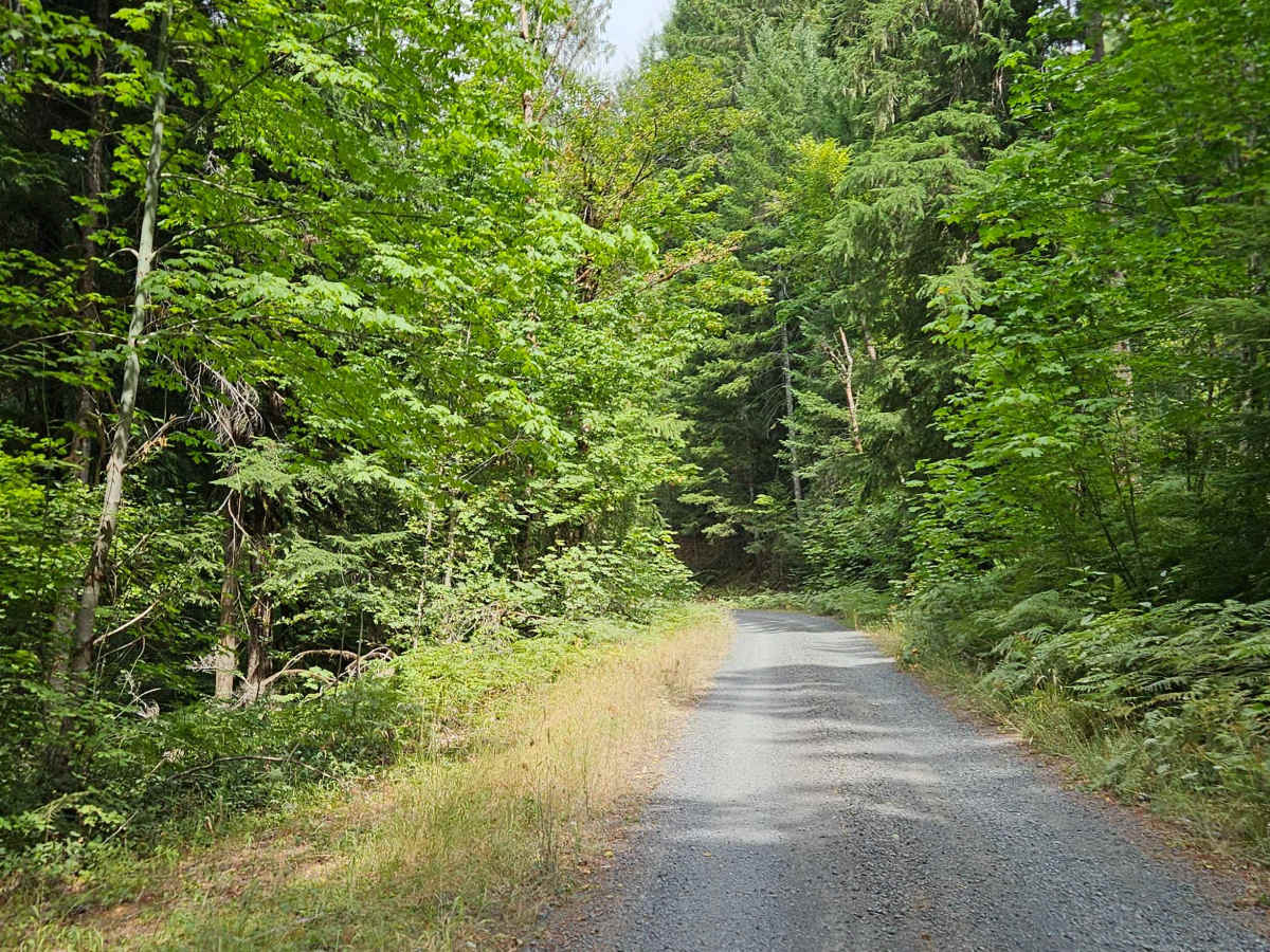
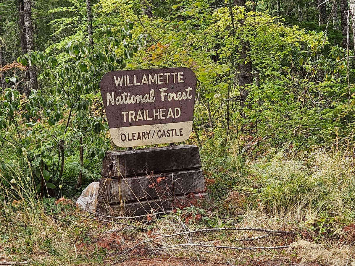
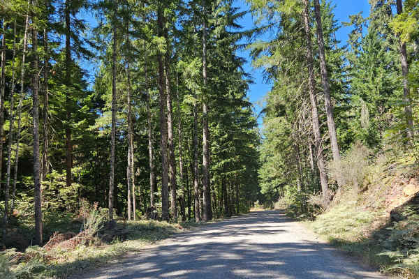
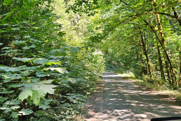
The trail begins near the reservoir on a well-maintained road and continues to a trailhead, where the route starts climbing steeply toward the mountain ridge. The road is well built and remains in good condition, but the combination of steep inclines, descents, and exposed sections requires careful driving. Low range is recommended for 4x4 vehicles, particularly on the steeper grades. The real highlight is at the end, where the trail opens to an incredible viewpoint overlooking the reservoir, surrounding mountains, and lower trails. There are a few pullouts and a large staging area along the way where ATVs and SxSs have been used, as well as evidence of recreational shooting. Several hiking routes branch from the area. There are no camping facilities, and camping is not permitted at the viewpoint. The final section has extreme drop-offs with no barriers, so use particular caution around the edge. Avoid traveling to the end at night, and this area may not be suitable for small children or dogs. ATVs, UTVs, Side-by-Sides, and Dirt Bikes must always have a valid Oregon ATV Operating Permit sticker. This short trail is seasonally designated and open from June 2 through November 30, with access closed for the rest of the year.
Difficulty
Steep grades, exposed sections, and extreme unprotected drop-offs make this a challenging trail requiring careful driving and low range on steeper climbs.

 Offroad