Trail Overview
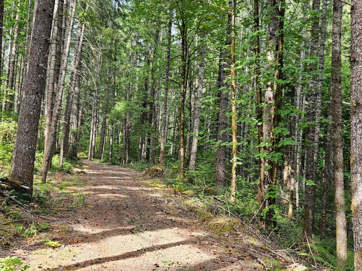
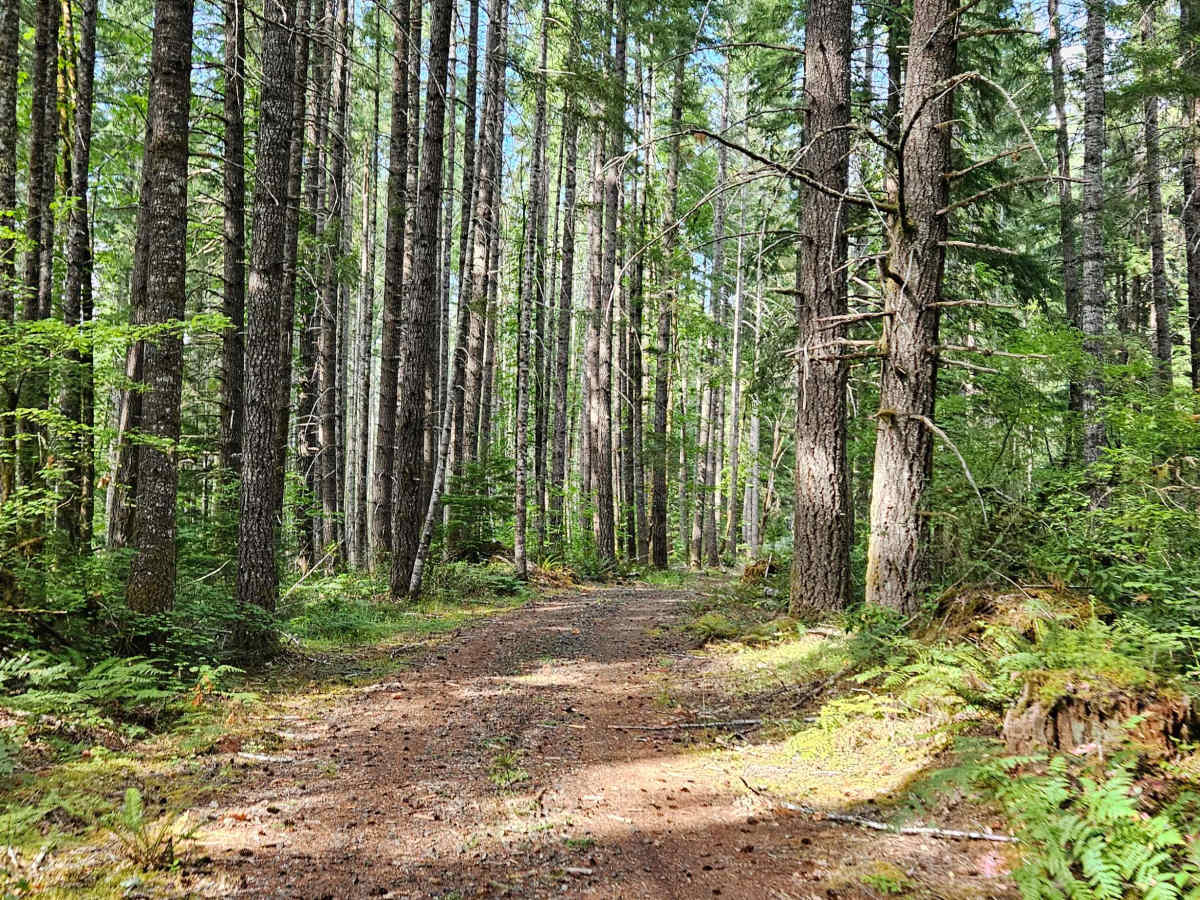
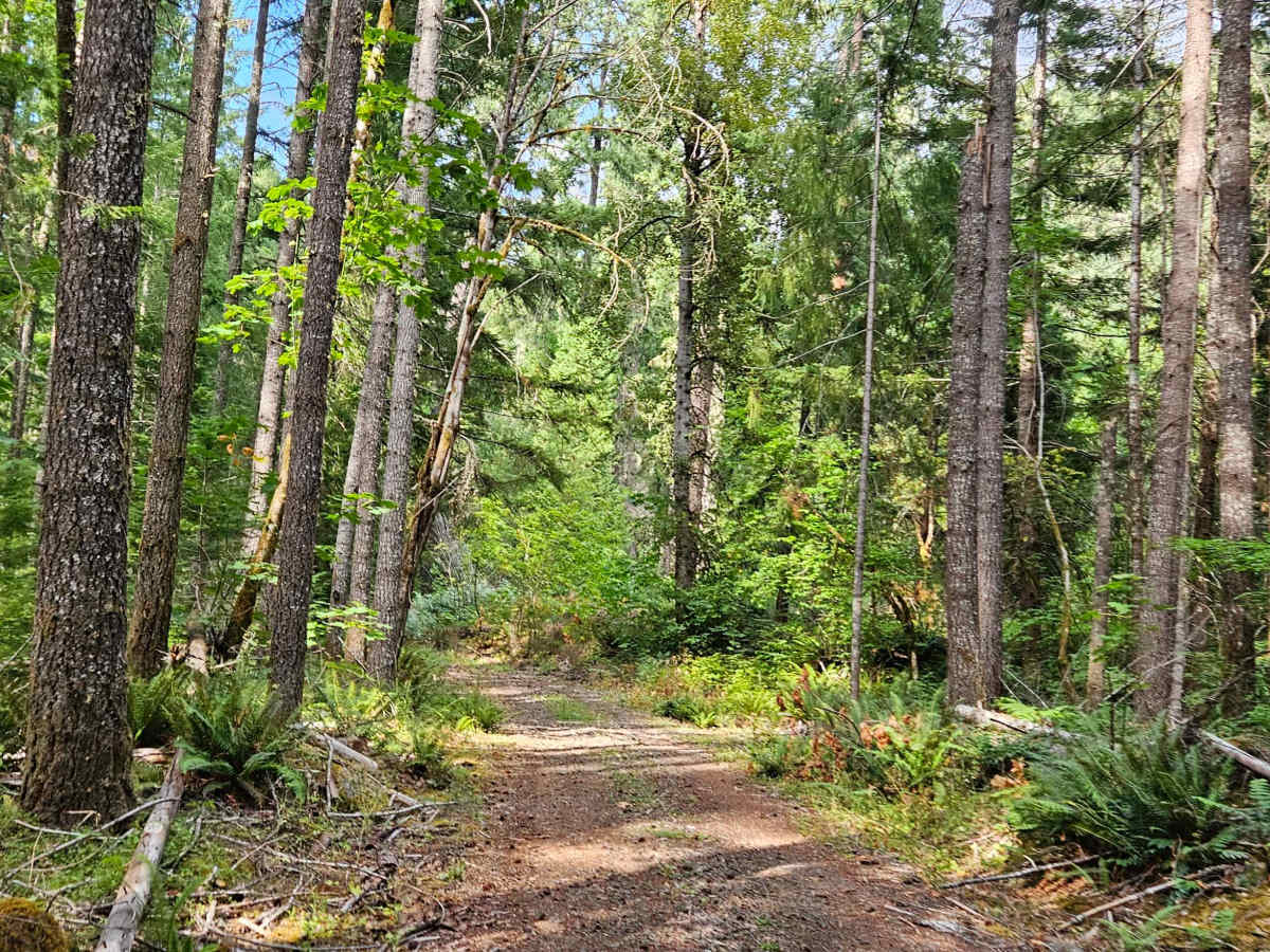
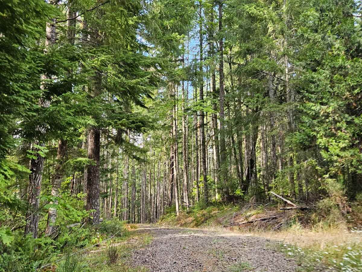
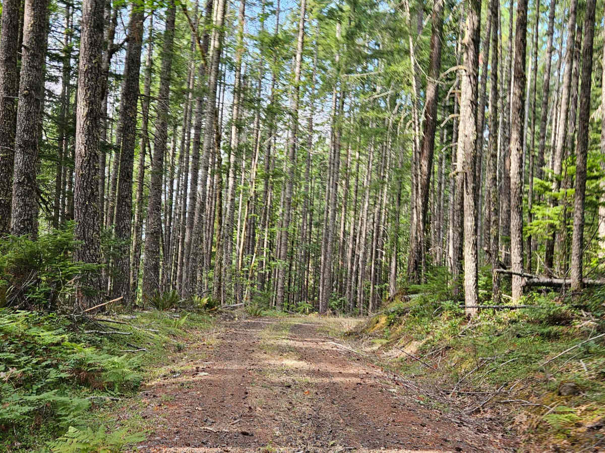
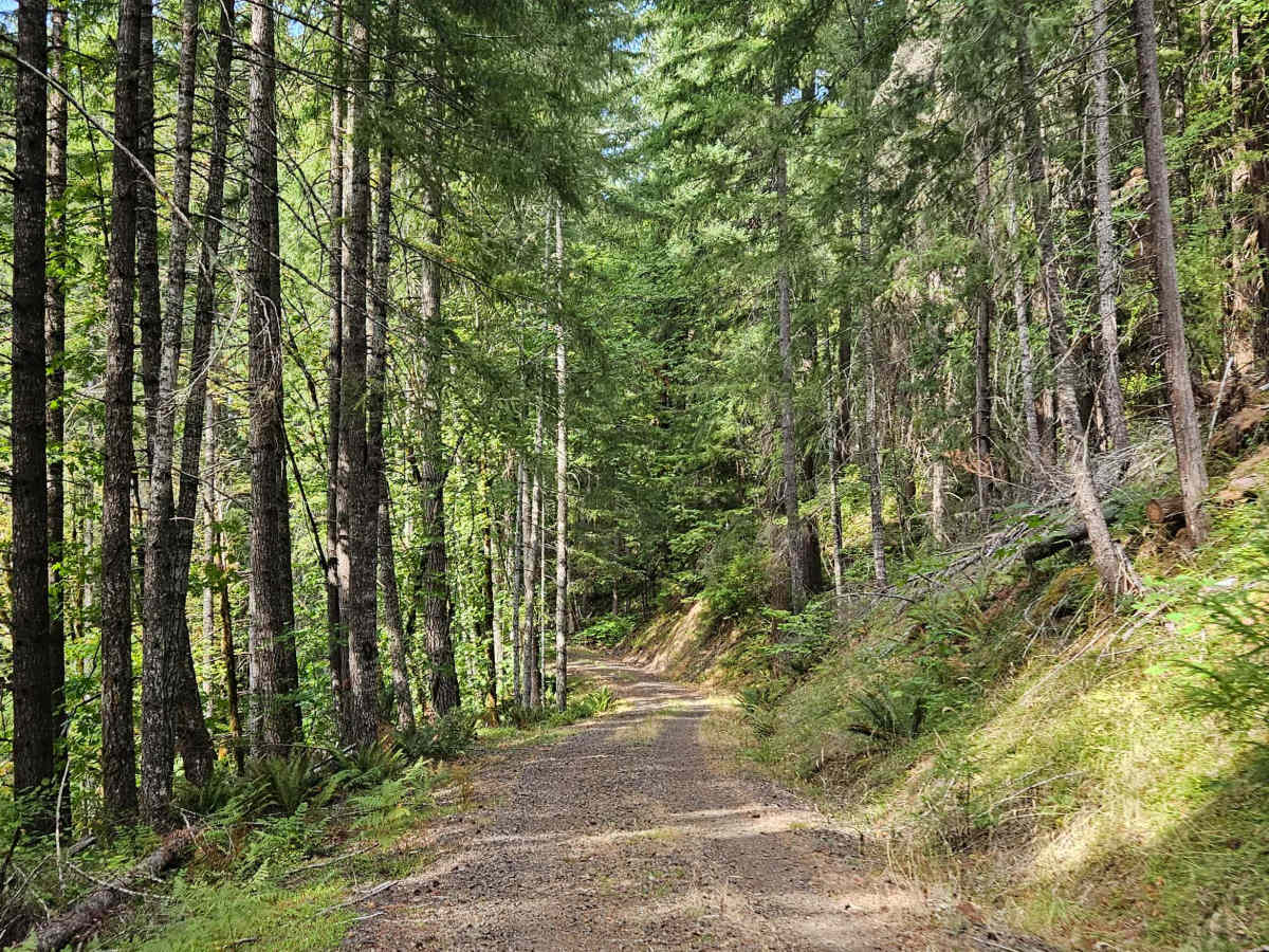
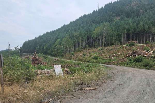
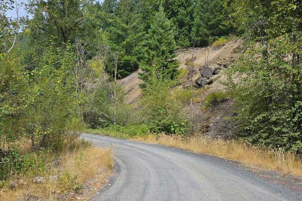
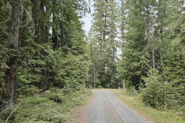
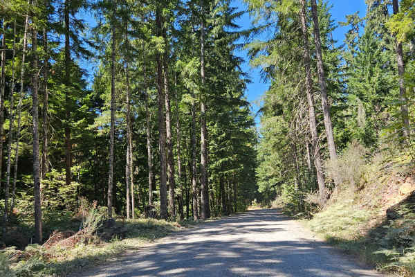
This road branches off the main paved road and begins at a large staging area that appears to be a former logging or construction site. The area is now used for recreation, with space for RVs, picnicking, and target shooting. The staging area also has restrooms, though their current condition may vary. From here, the road continues uphill into the forest, with a few pull-offs along the way. As you climb, the route runs near a powerline corridor and eventually reaches a large open area alongside the powerlines. The forest road is pleasant and relatively easy to drive, with enough room for most vehicles and only minor terrain changes. Signs of regular recreational use include people stopping along the route to picnic or enjoy the area. The mapped road appears to continue beyond the powerline opening, but that section does not appear to be an established or recommended route. I would not suggest continuing beyond the accessible section unless you have confirmed that it is open and legal to do so. ATVs, UTVs, Side-by-Sides, and Dirt Bikes must always have a valid Oregon ATV Operating Permit sticker.
Difficulty
The route is generally easy to navigate, with a smooth surface, minor terrain changes, and ample room for most vehicles.

 Offroad