Trail Overview
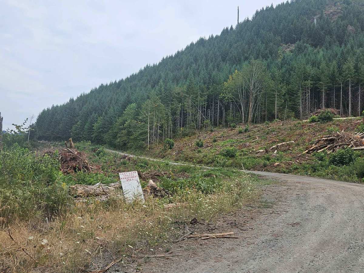
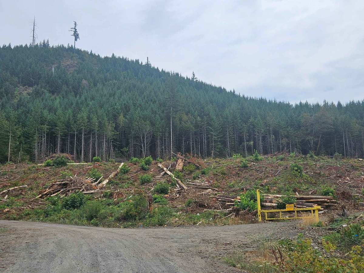
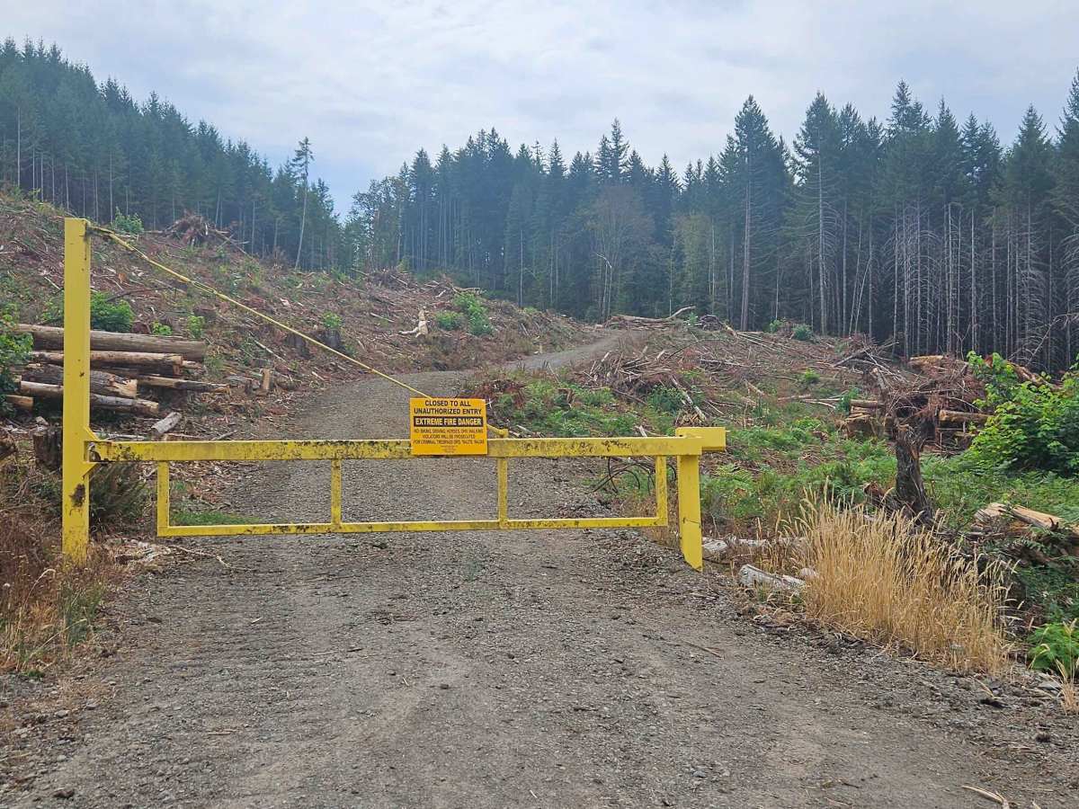
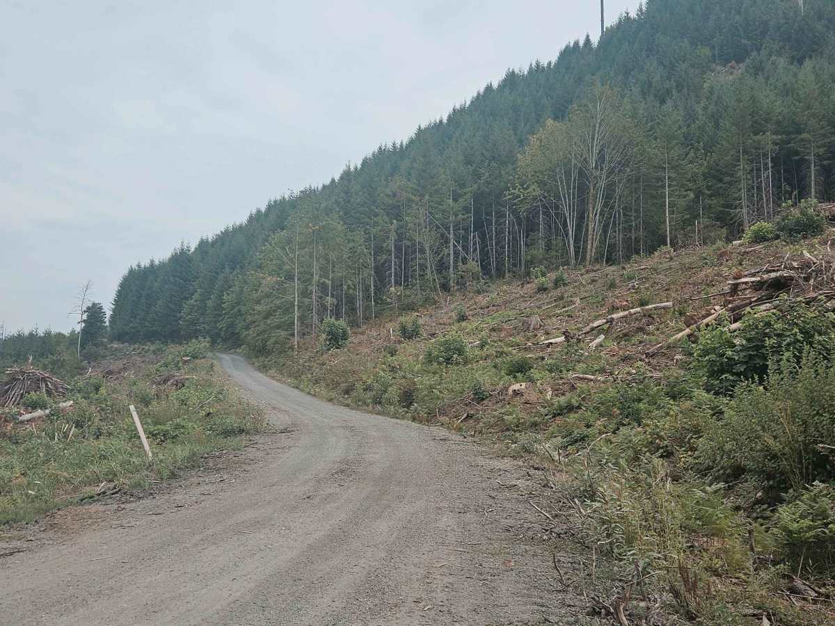
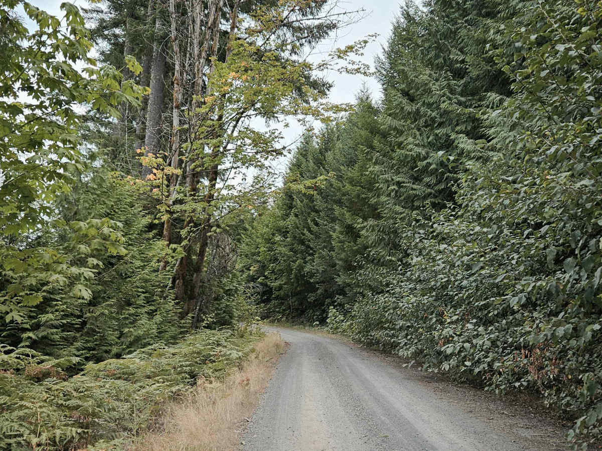
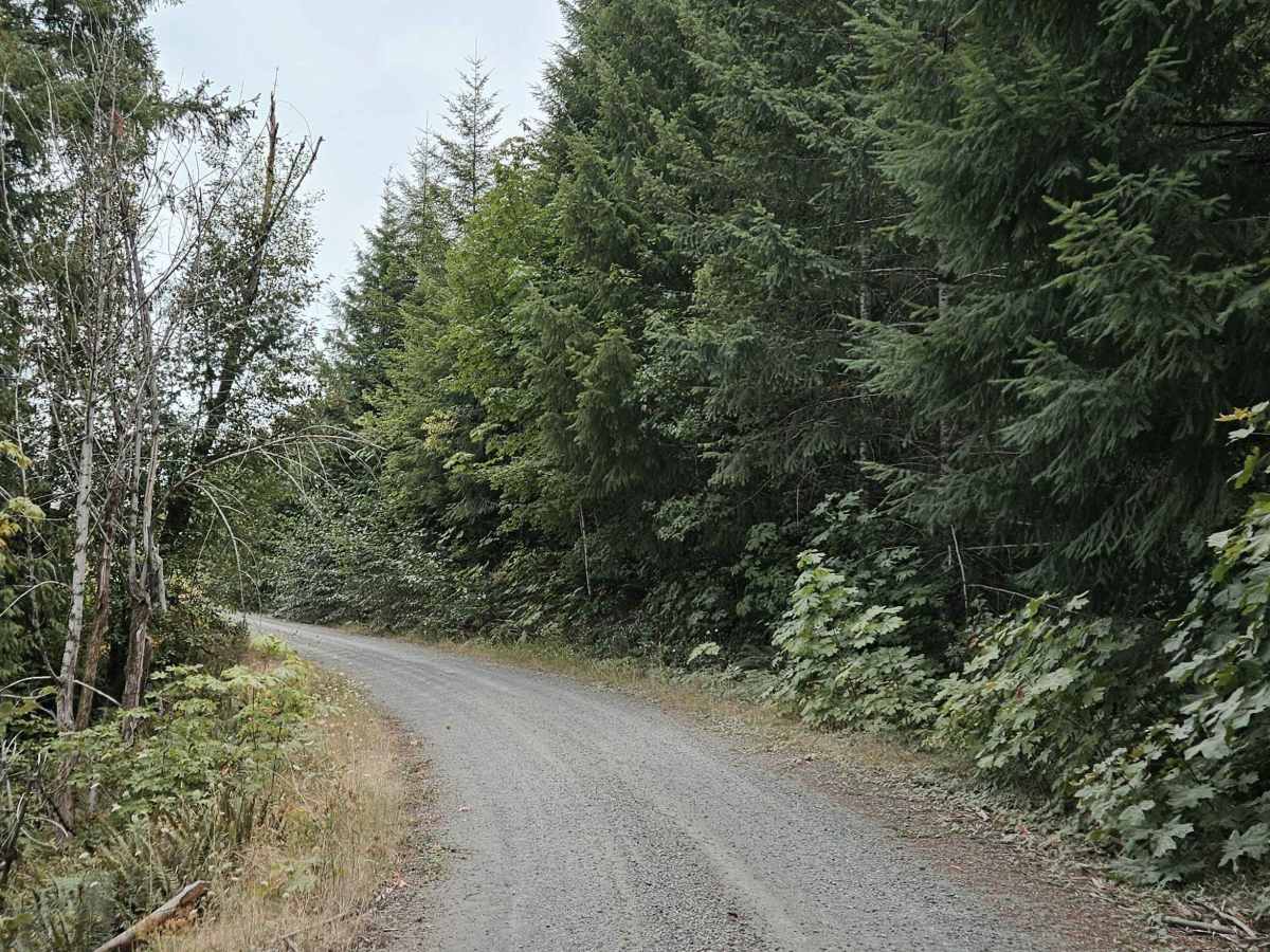
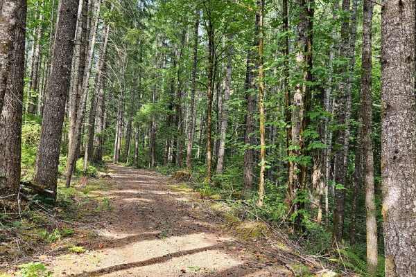
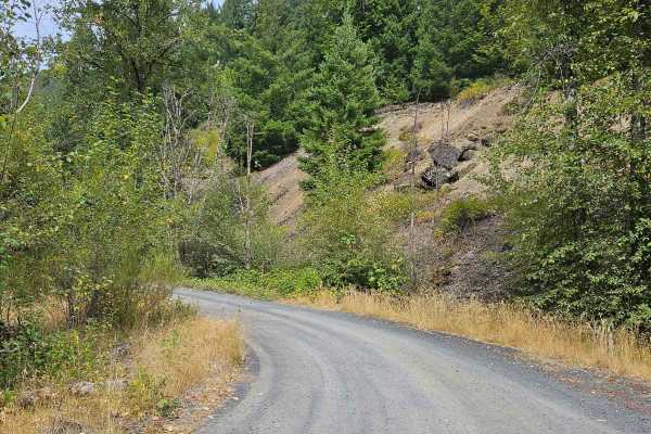
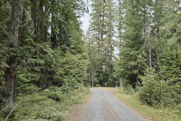
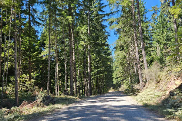
This trail begins in an active logging area with restricted access. A yellow locked gate marks the entrance to a high fire-risk area, and unauthorized vehicles should not proceed beyond the posted restrictions. The road climbs through the forest and is maintained but noticeably corrugated in the lower section. After reaching a more level area, the route develops numerous potholes before climbing again. Farther up, sections of the road have been heavily eroded by rainfall, creating a more uneven surface. The trail eventually reaches a split where a large fallen tree blocks the route to the right. The route to the left continues as the O’Leary Trail toward the Castle Rock Trailhead. Other roads in the area have been closed because of extreme fire danger, and additional gates appear locked, with signs prohibiting unauthorized entry. The surrounding area is also used for wildlife management and contains protected species, along with ongoing logging activity. Respect all gates, closures, and posted restrictions when traveling in this area. ATVs, UTVs, Side-by-Sides, and Dirt Bikes must always have a valid Oregon ATV Operating Permit sticker.
Difficulty
Corrugation, potholes, and rain erosion create moderate terrain challenges, although access restrictions and locked gates are the primary considerations on this route.