Trail Overview
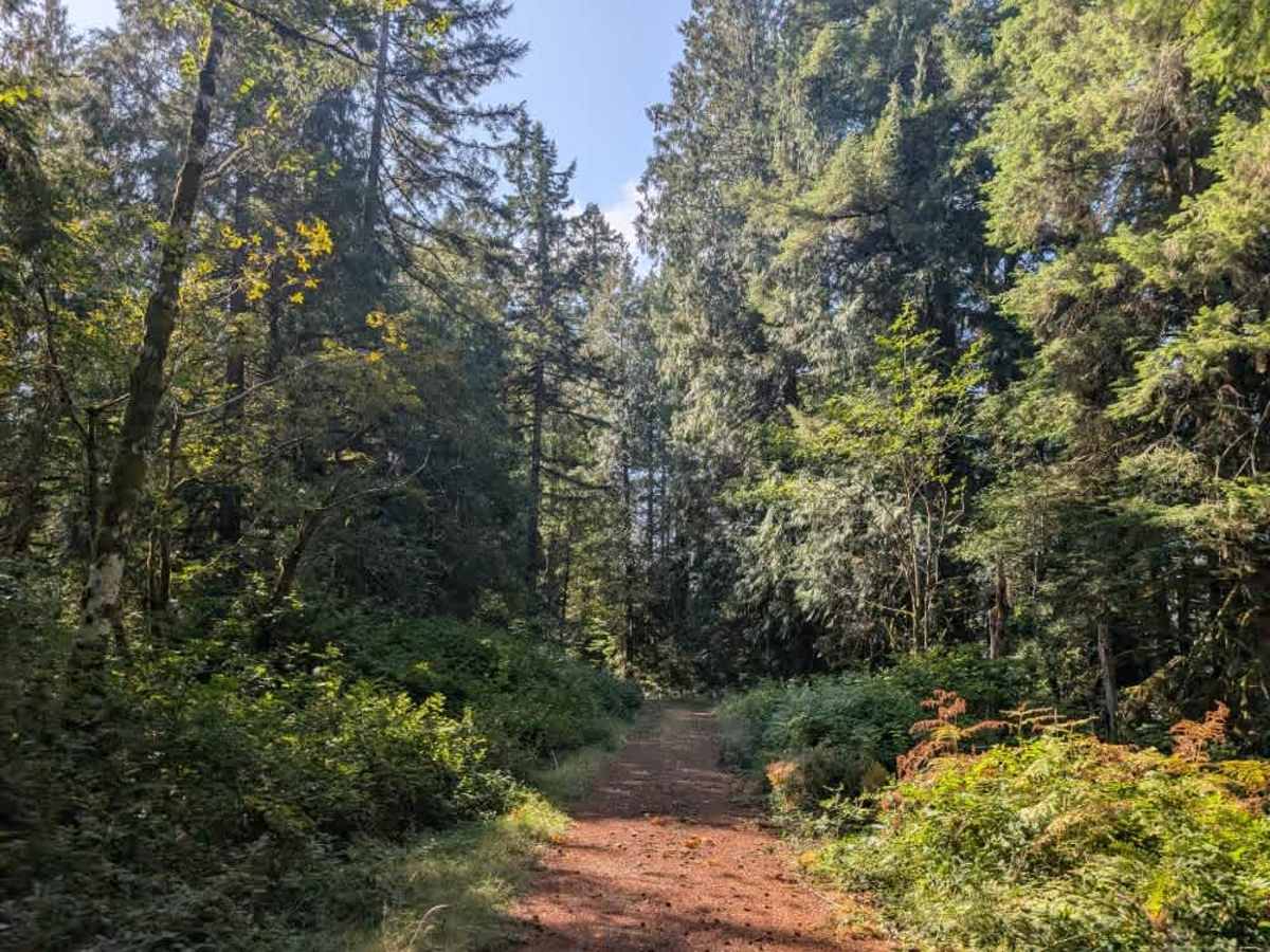
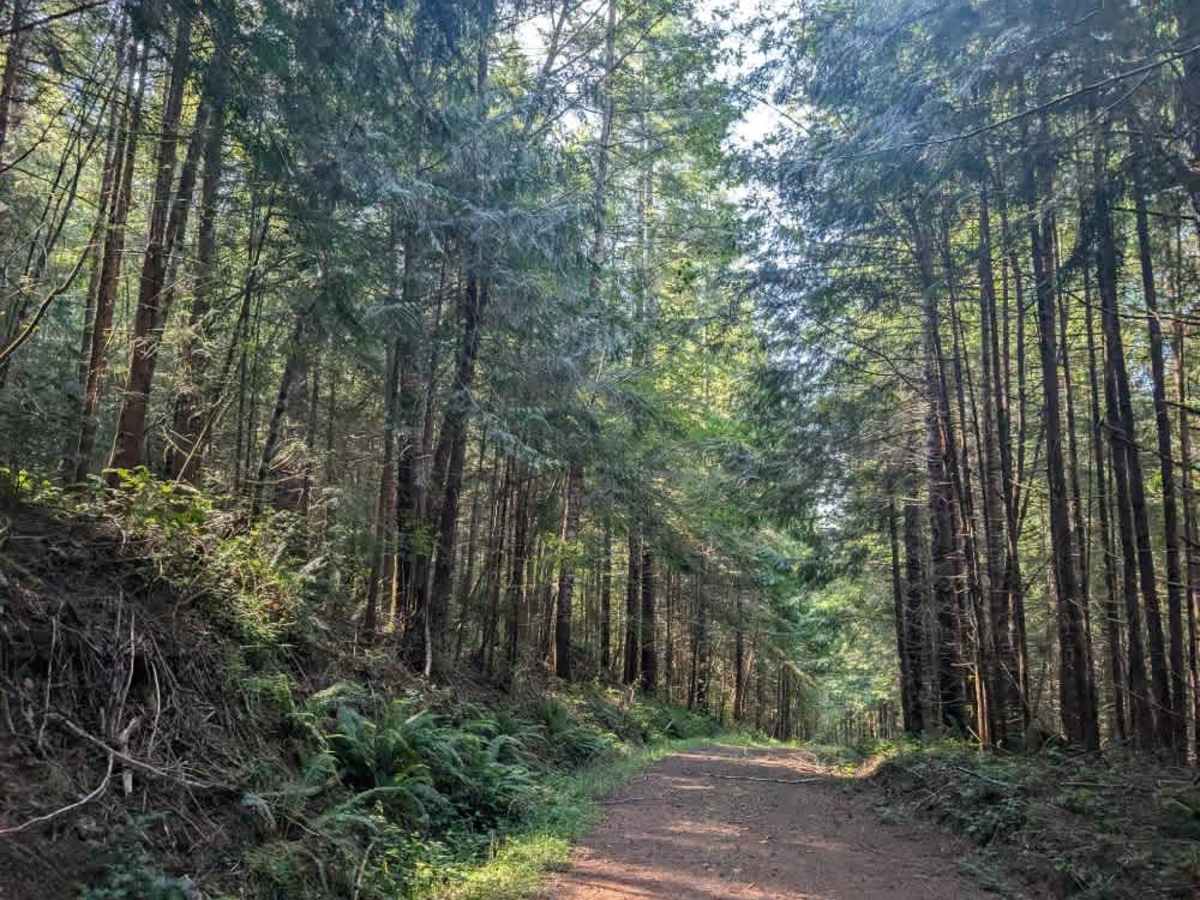
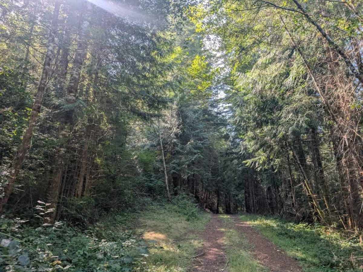
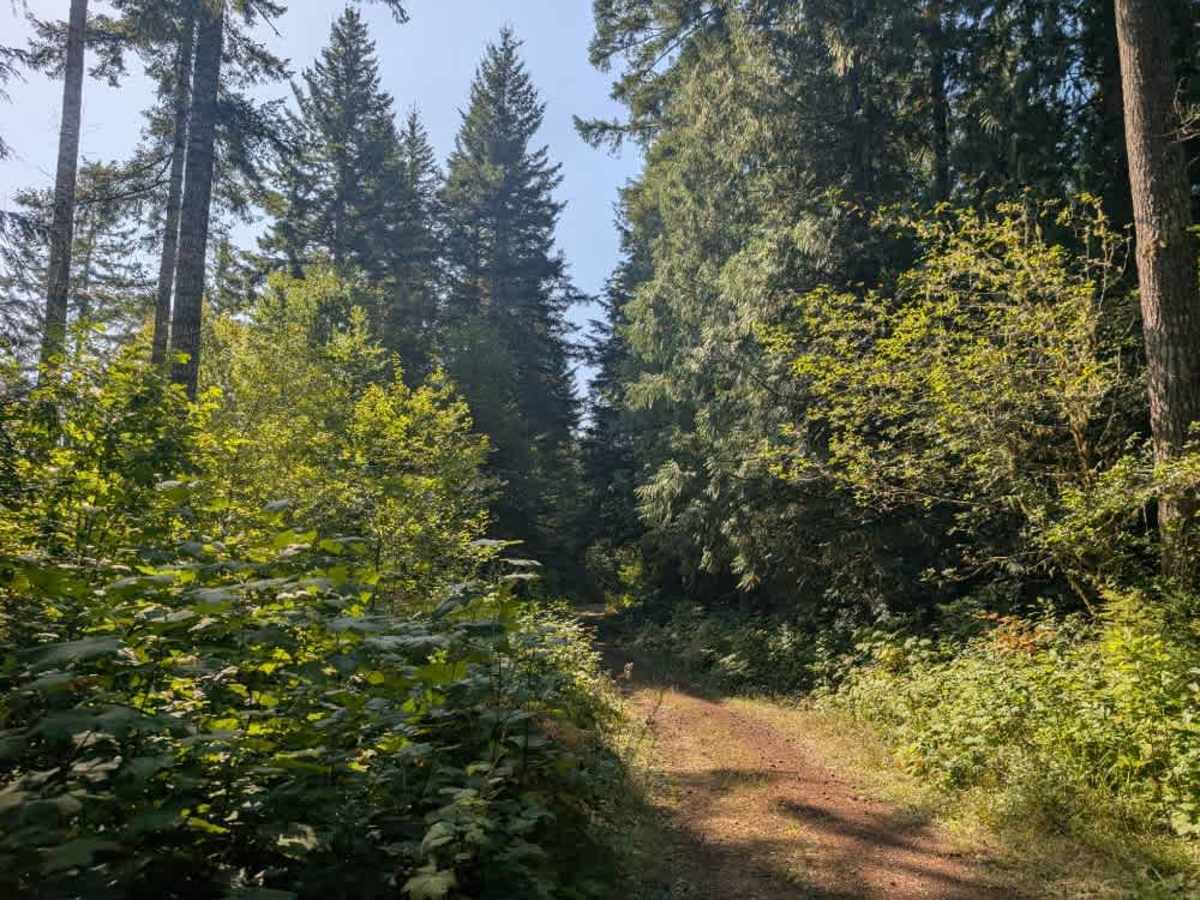
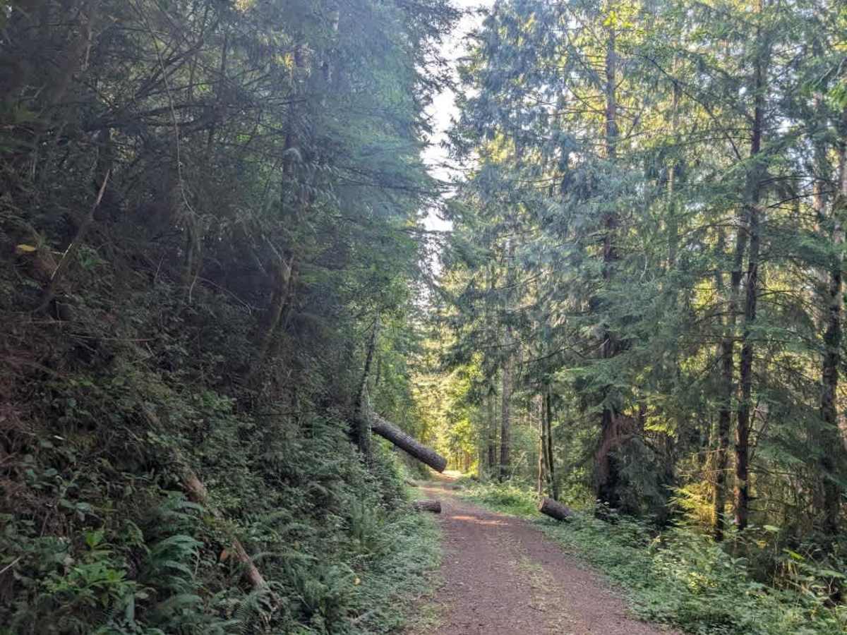
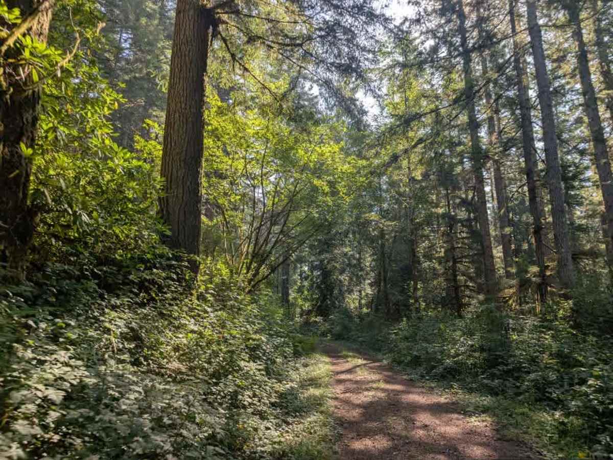
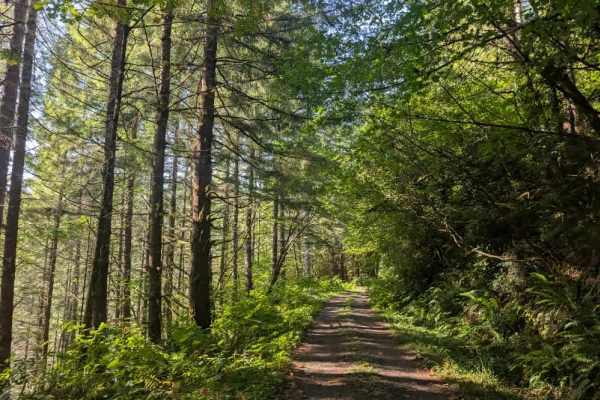
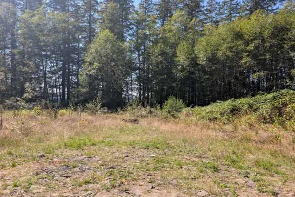
This short, fun trail is user-maintained and descends steadily at first, then becomes a fairly steep downhill route; it’s especially beautiful in the fall when the leaves begin changing colors. The road has a gravel surface with some mild undergrowth, including ferns, evergreens, and mulberry bushes, but the vegetation isn’t particularly dense or hard to navigate. Near the end, the trail reaches a closed gate marking private property. There is ample room to turn around before the gate, along with space for dispersed camping. A massive tree hangs precariously over the road, so use extreme caution when passing beneath it. Do not attempt this trail during heavy rain, when the tree or surrounding conditions could become hazardous. ATVs, UTVs, Side-by-Sides, and Dirt Bikes must always have a valid Oregon ATV Operating Permit sticker.