Condon - FS 5841

Total Miles4.9
Technical Rating
1Easy
Best TimeSpring, Summer, Fall
Trail TypeFull-Width Road
Accessible By
Open Trail Map

Trail Overview

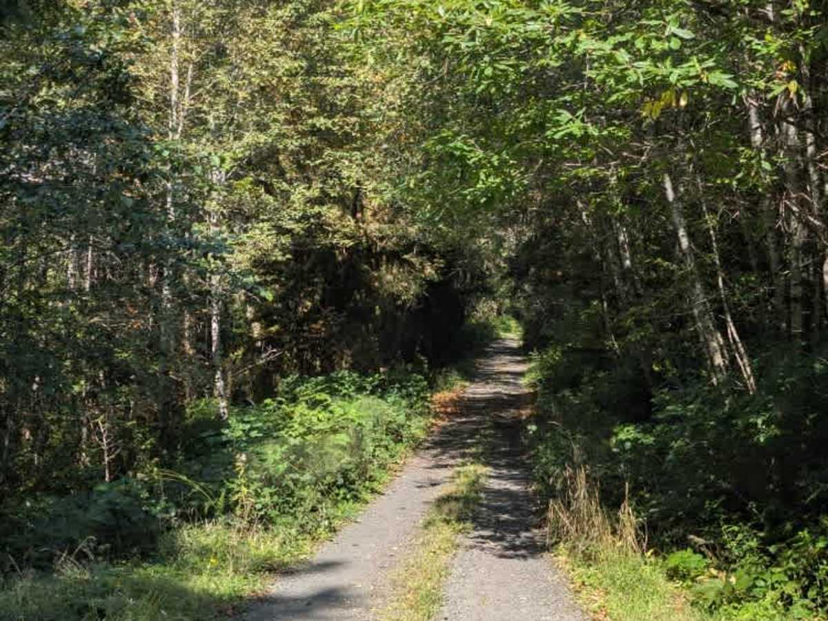
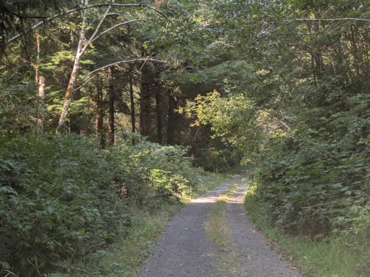
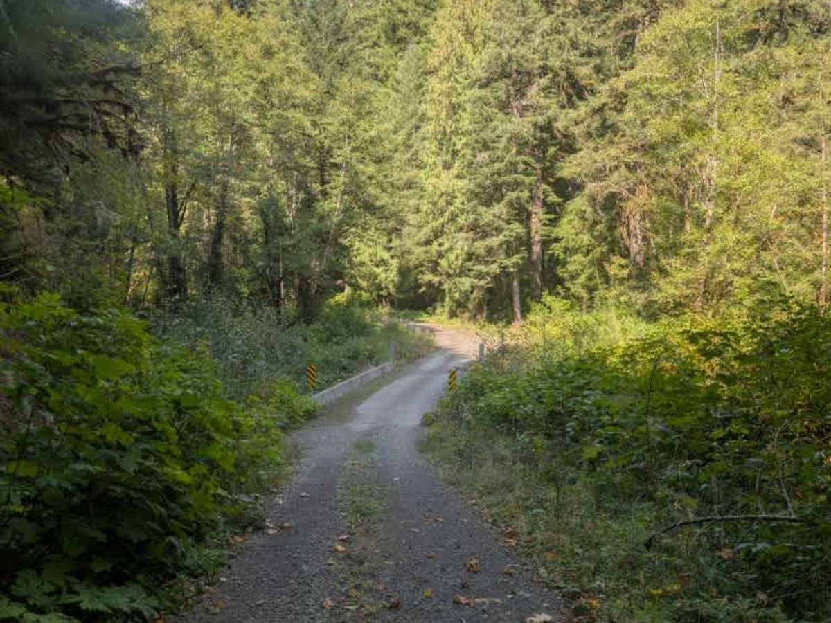
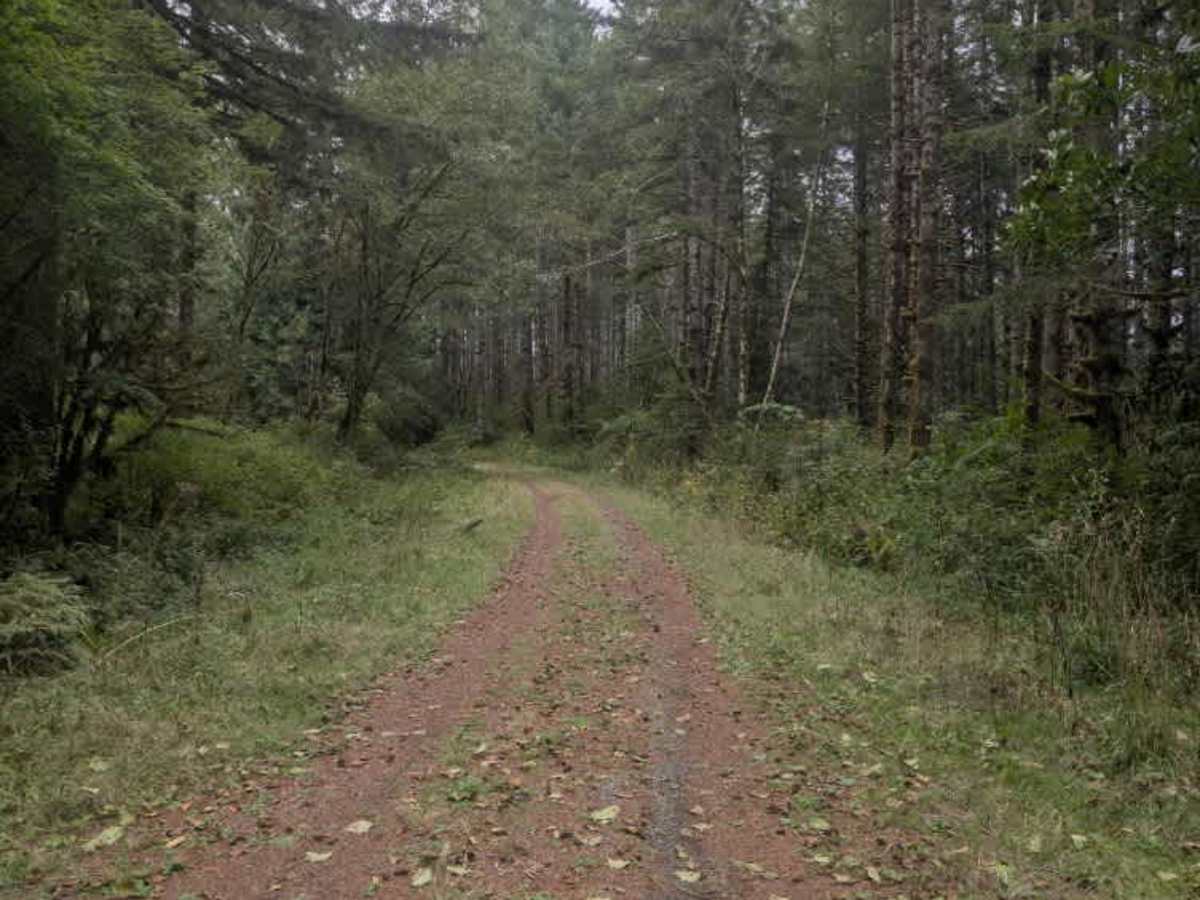
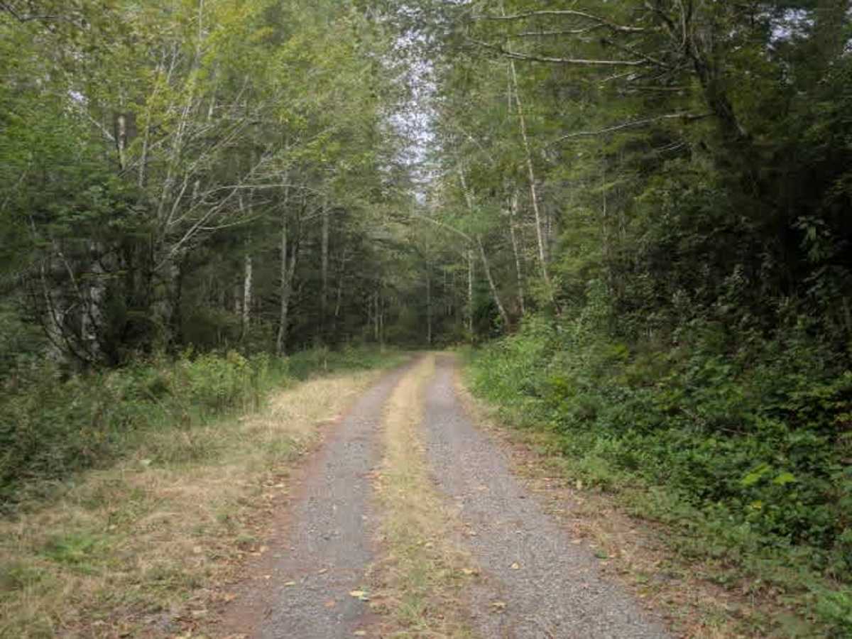
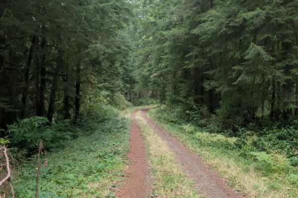
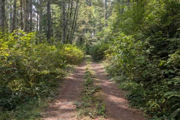
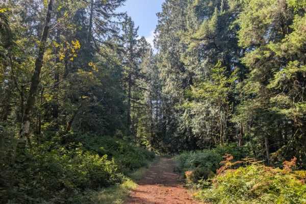
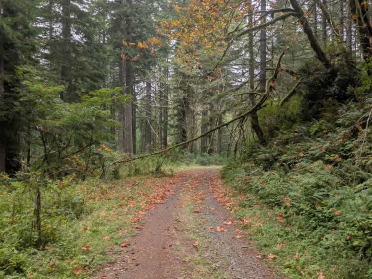
This trail begins beyond private property and transitions into a dirt road before reaching a boundary sign and the first of several bridges. The route crosses a couple of streams, with the bridges being wide enough to accommodate full-size vehicles. None of the crossings present any major difficulty, although the road continues to climb steadily after them. The trail winds uphill through the forest and connects with two other routes before reaching a turnaround area near the end. Immediately beyond the turnaround, the trail becomes heavily overgrown and increasingly difficult to navigate. Dense vegetation and other obstacles cover the roadway, eventually making the route too overgrown for vehicles to continue. The accessible portion is fairly straightforward, with the bridges and steady inclines as the main features before the route becomes impassable due to overgrowth. ATVs, UTVs, Side-by-Sides, and Dirt Bikes must always have a valid Oregon ATV Operating Permit sticker.

Photos of Condon - FS 5841

Difficulty

The trail starts easy but becomes more challenging as overgrowth increases near the end.

Technical Rating

1

Condon - FS 5841 Trail can be accessed by the following ride types:

  • Single Track
  • 50 Inch
  • 60 Inch
  • High Clearance
  • Full Width

Condon - FS 5841 Map

The onX Offroad Difference

onX Offroad combines trail photos, descriptions, difficulty ratings, width restrictions, seasonality, and more in a user-friendly interface. Available on all devices, with offline access and full compatibility with CarPlay and Android Auto. Discover what you're missing today!

Open Trail Map