Trail Overview
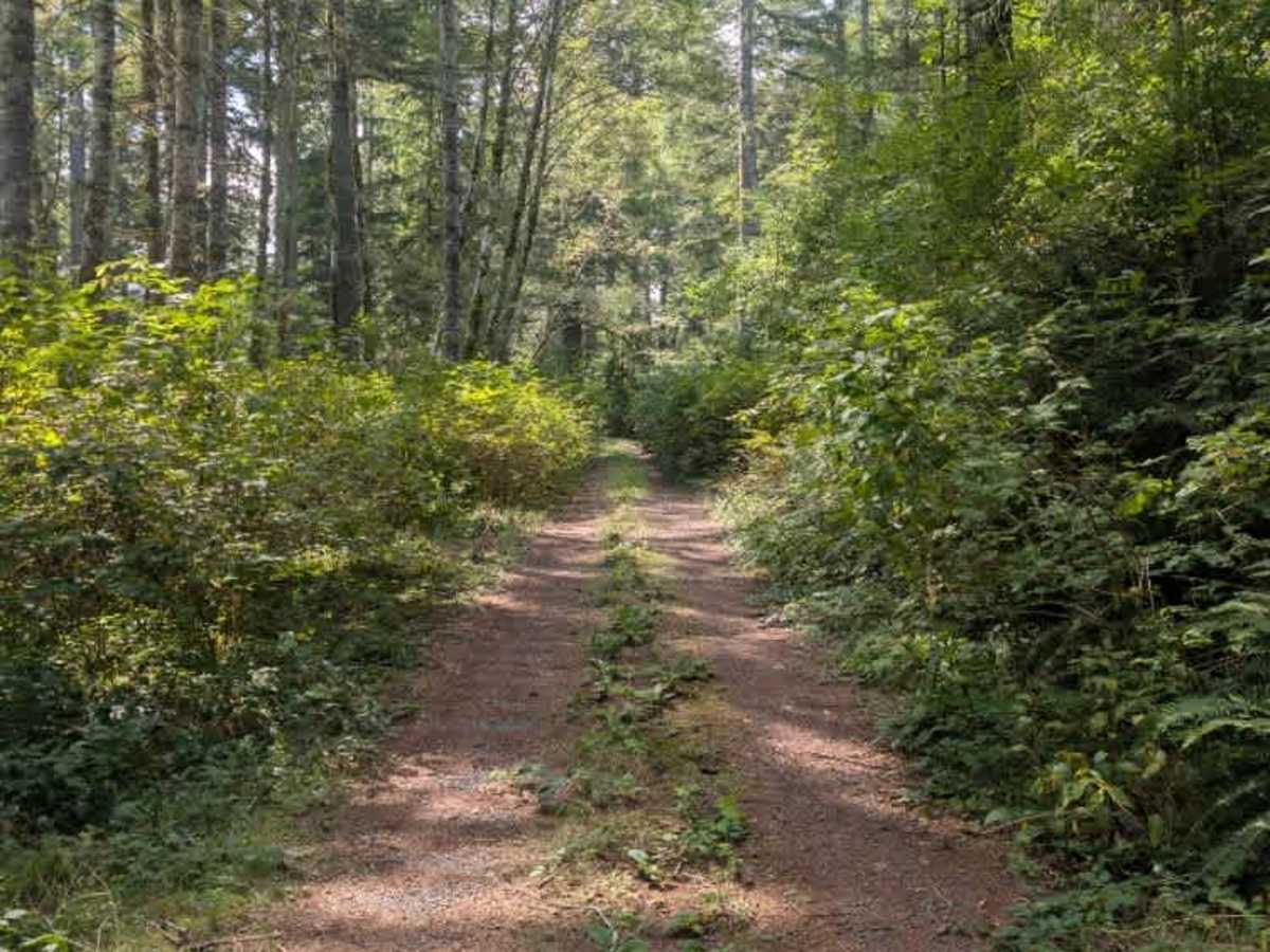
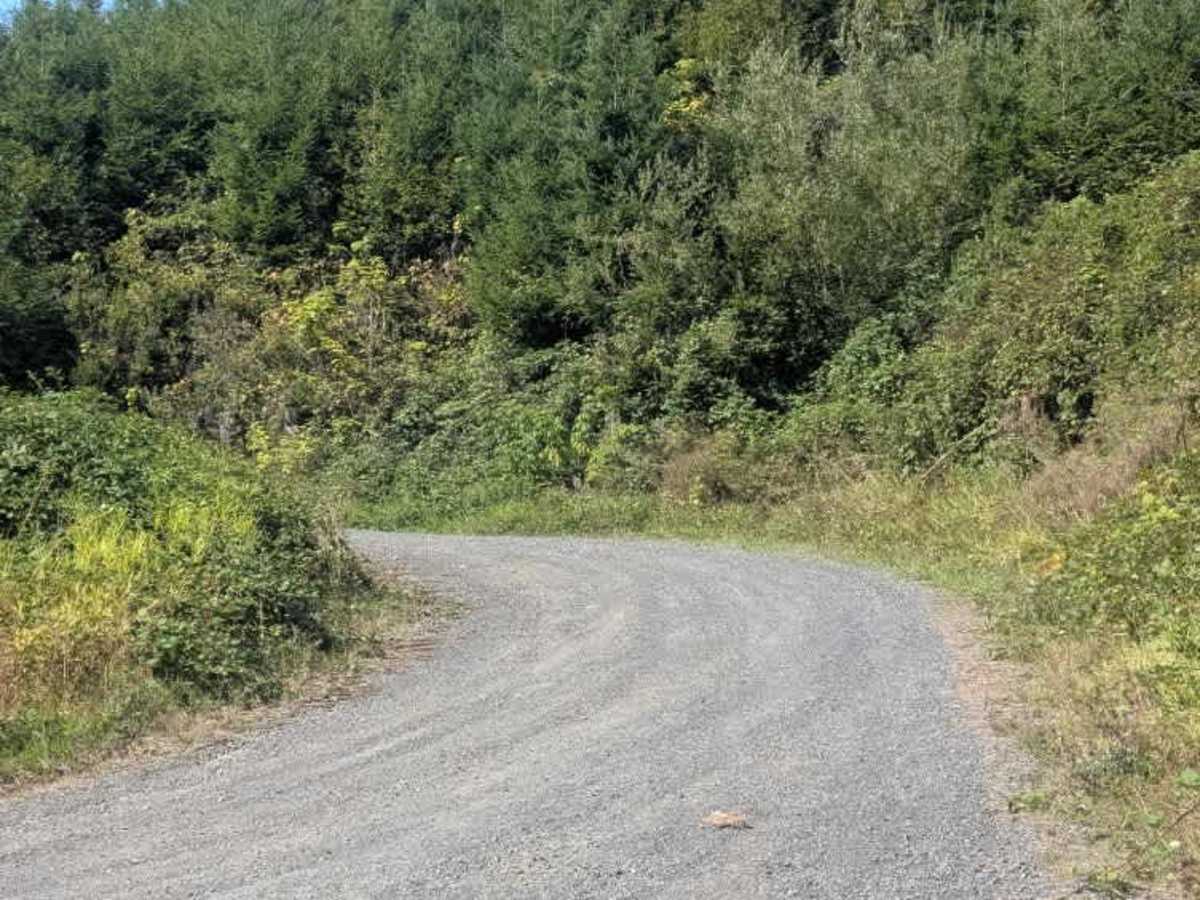
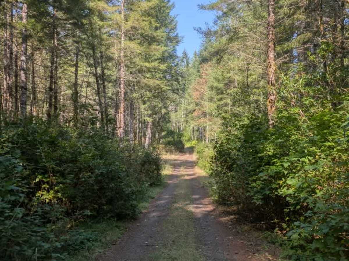
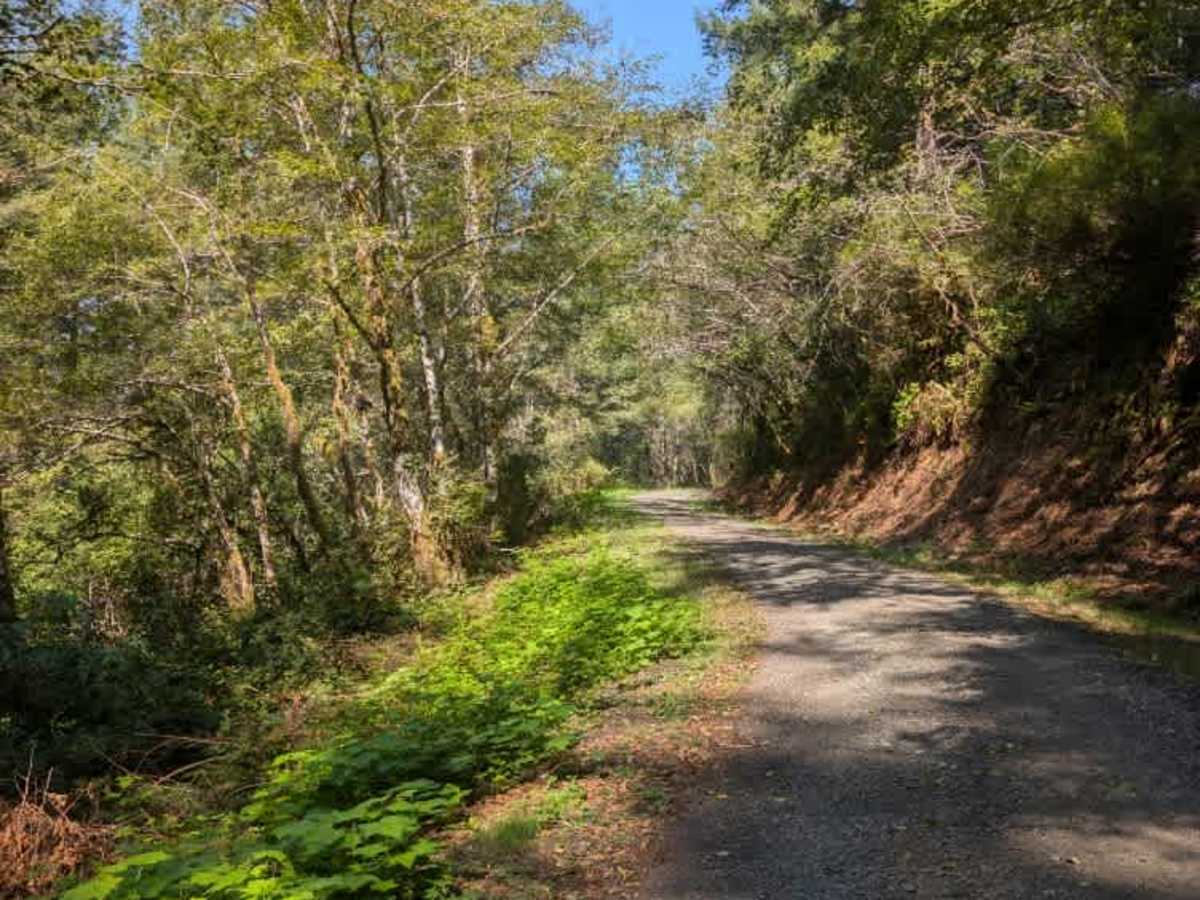
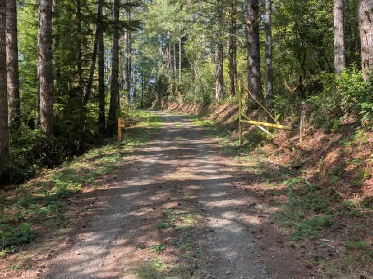
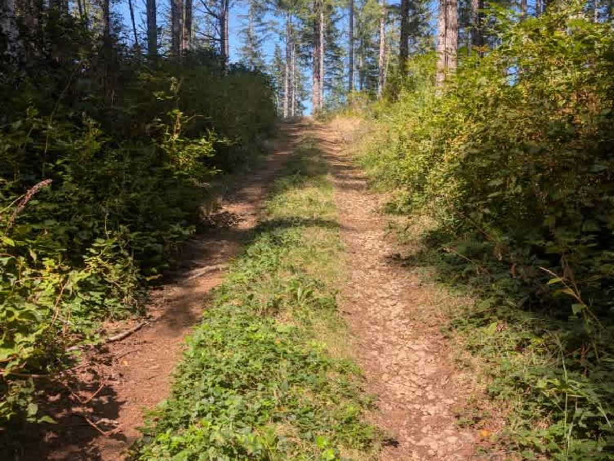
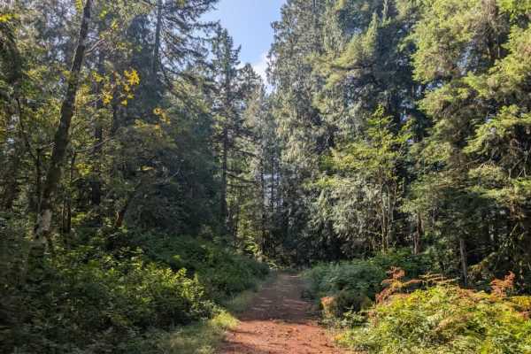
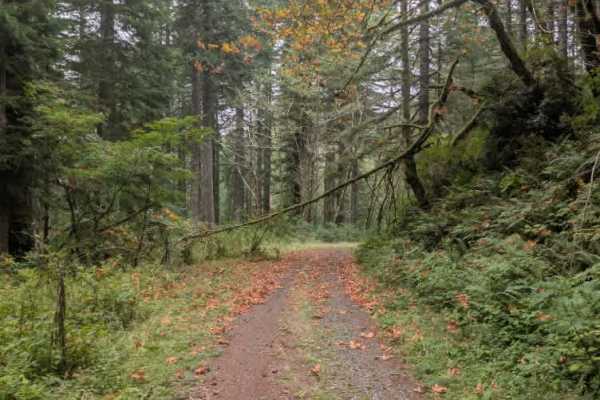
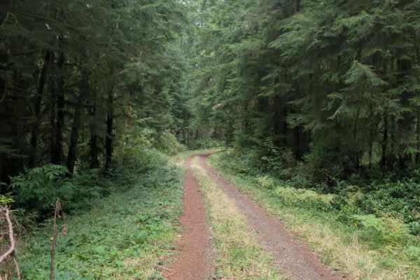
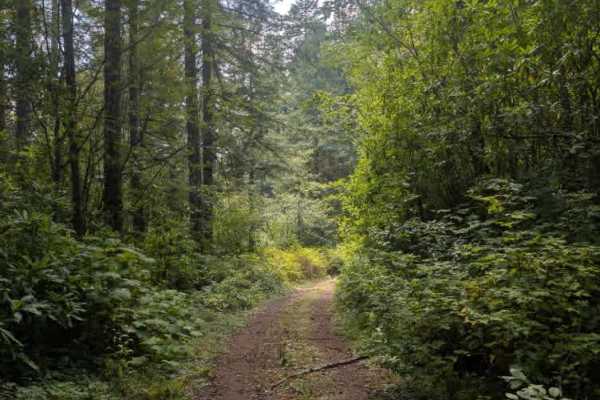
This main arterial route serves private-land logging, with active logging occurring toward the far end of the trail. The road is relatively wide and winds uphill along the power lines before continuing into the surrounding hills. An intersection with FS 7000743 provides access to another route, with this one continuing north through the gate located beyond the intersection. Logging trucks may be present, so use caution and watch for active traffic and working vehicles. The initial section of the road appears to be maintained and is easier to navigate. After the intersection, however, logging trucks no longer use the route, and it is no longer maintained. From this point, low-hanging trees and several logs near the roadway make the trail tighter. The road then climbs a sharp incline before reaching the end, where a turnaround area is surrounded by logs and other wood debris. ATVs, UTVs, Side-by-Sides, and Dirt Bikes must always have a valid Oregon ATV Operating Permit sticker.