FS 5841763

Total Miles3
Technical Rating
2Easy
Best TimeSpring, Summer, Fall
Trail TypeFull-Width Road
Accessible By
Open Trail Map

Trail Overview

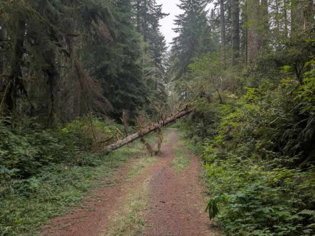
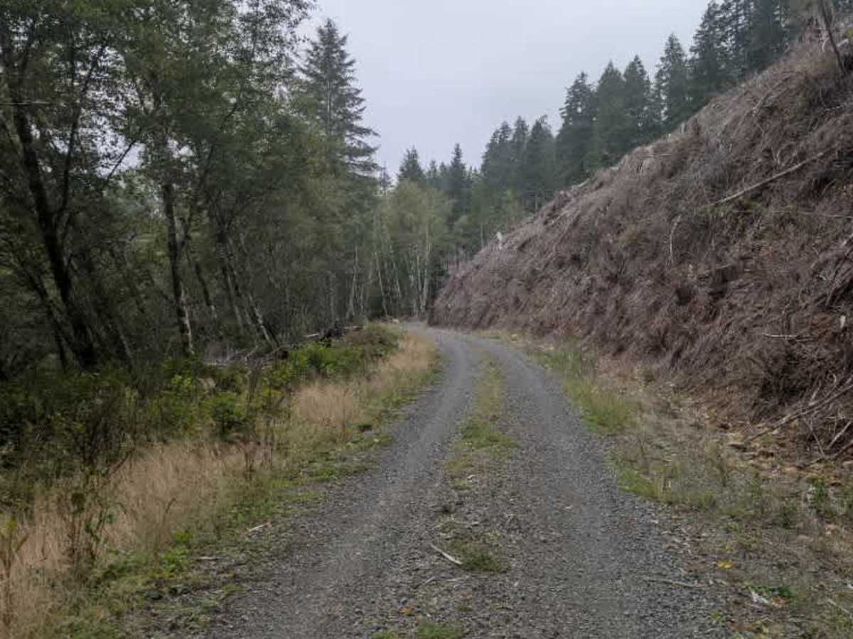
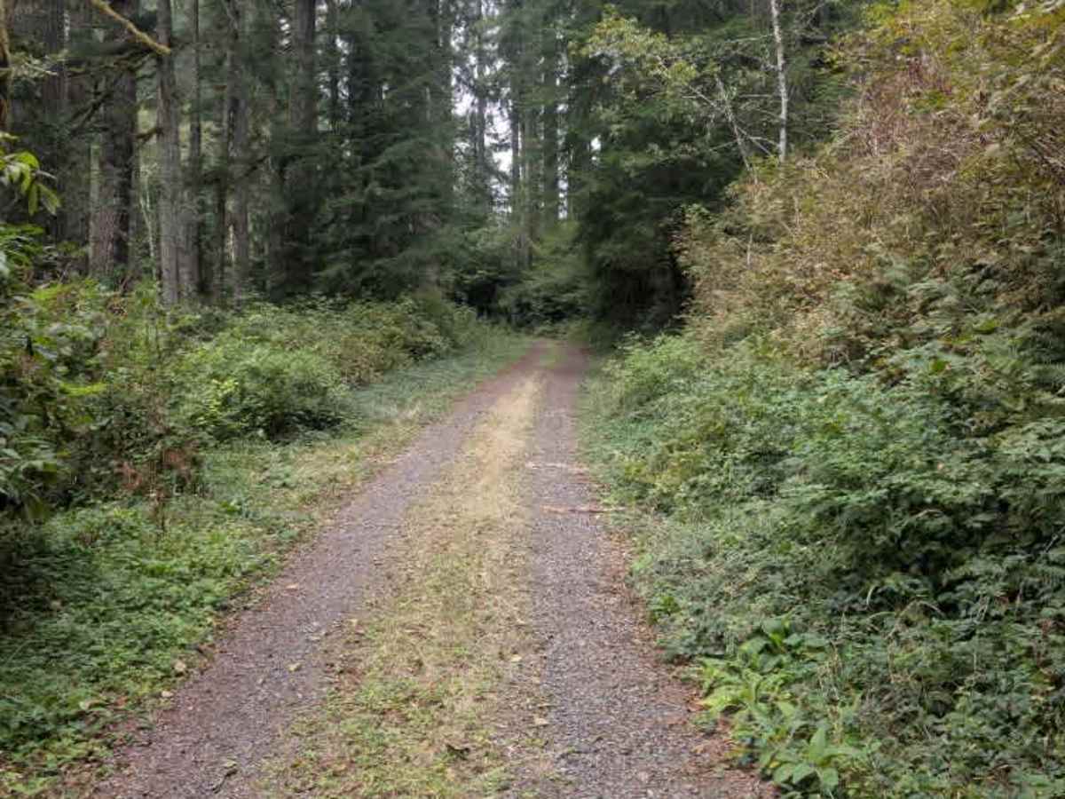
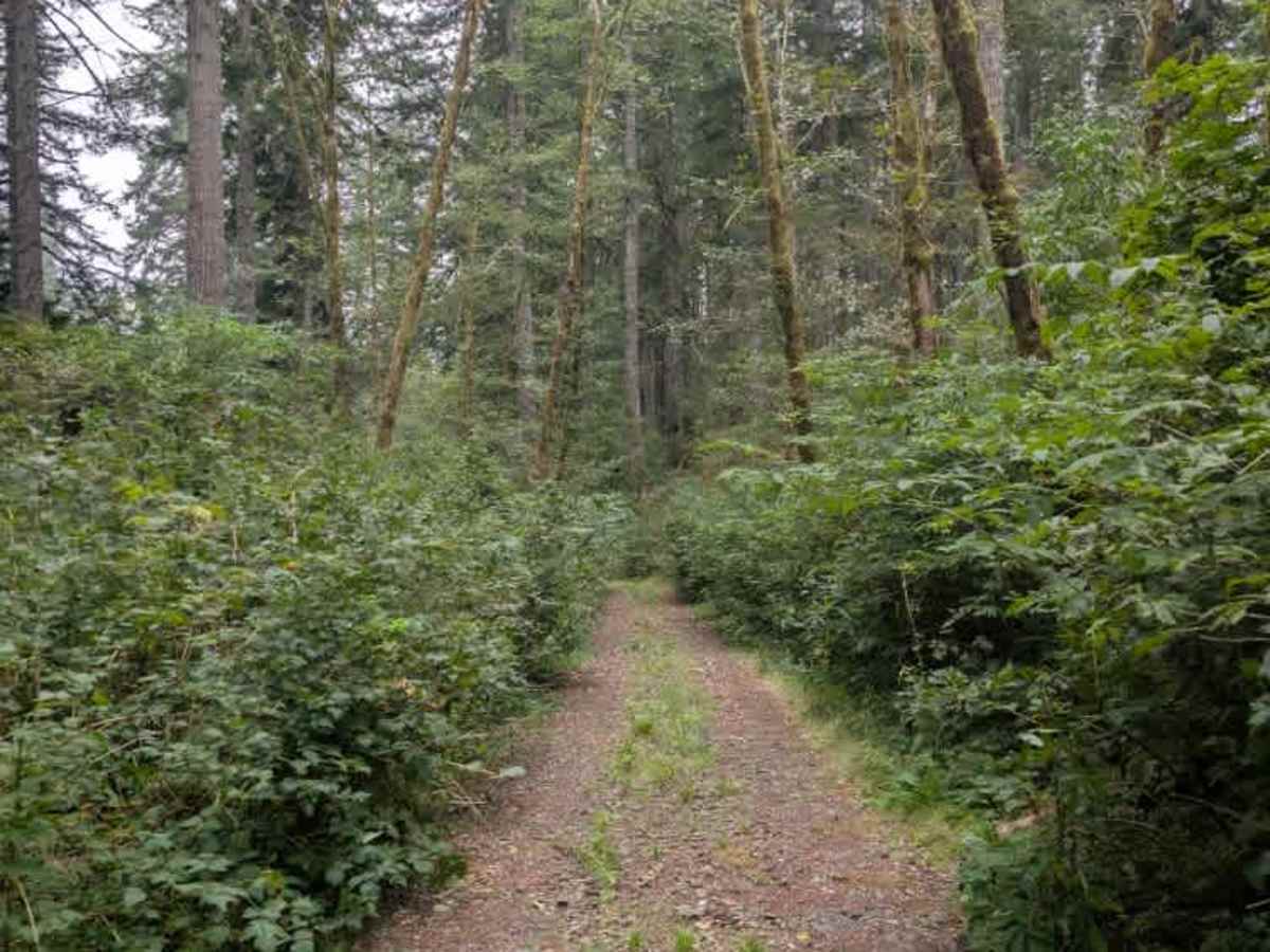
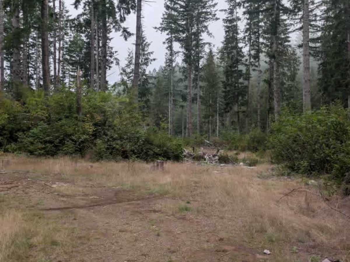
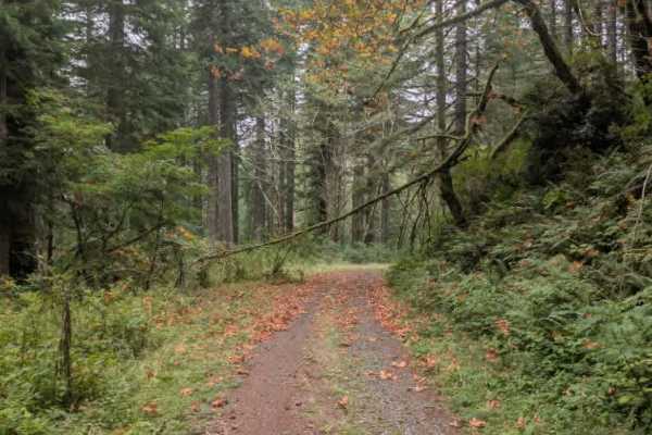
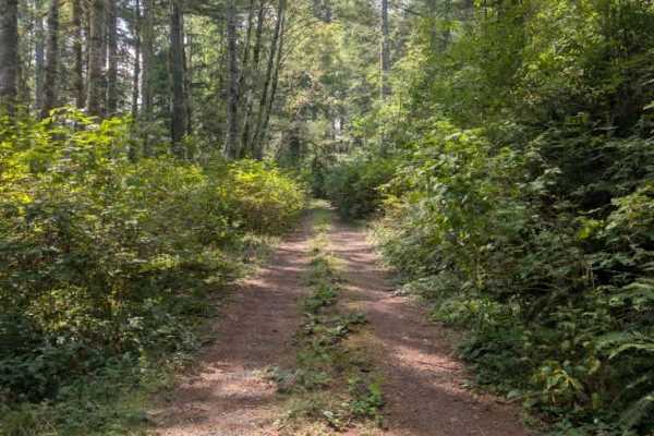
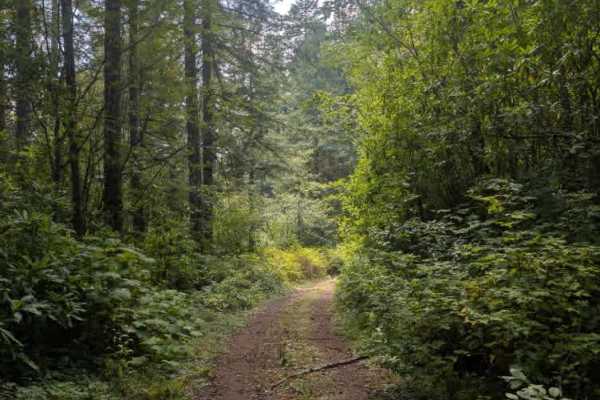
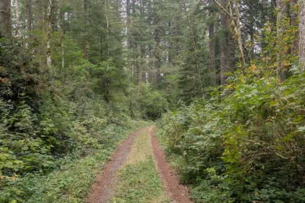
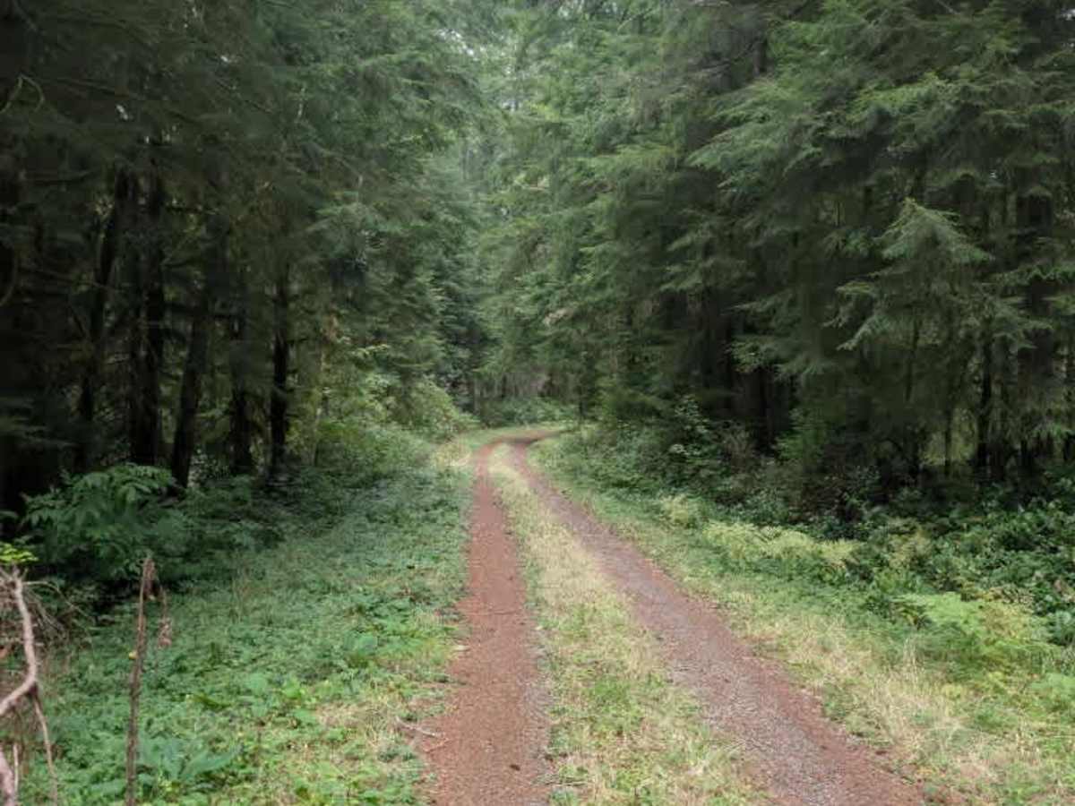
This fairly well-used trail passes through a section of private land that has been deforested before continuing into more wooded terrain. The road includes several unmarked irrigation cuts, so drivers should slow down and watch for these unexpected surface changes. The route gradually climbs in elevation and has some trees extending into the roadway from the sides. None are blocking the travel path, although one large tree hangs over the road with a clear path around it. Farther along, the surface changes from gravel to dirt as the terrain changes. The trail eventually ends at a turnaround area surrounded by several logs. Aside from the unmarked irrigation cuts and occasional vegetation extending into the road, the route is fairly straightforward to navigate. ATVs, UTVs, Side-by-Sides, and Dirt Bikes must always have a valid Oregon ATV Operating Permit sticker.

Photos of FS 5841763

Difficulty

The trail is generally easy, with irrigation cuts and uneven sections requiring extra attention.

Technical Rating

2

FS 5841763 Trail can be accessed by the following ride types:

  • Single Track
  • 50 Inch
  • 60 Inch
  • High Clearance
  • Full Width

FS 5841763 Map

The onX Offroad Difference

onX Offroad combines trail photos, descriptions, difficulty ratings, width restrictions, seasonality, and more in a user-friendly interface. Available on all devices, with offline access and full compatibility with CarPlay and Android Auto. Discover what you're missing today!

Open Trail Map