FS 5841759

Total Miles1.9
Technical Rating
2Easy
Best TimeSummer, Spring, Fall
Trail TypeFull-Width Road
Accessible By
Open Trail Map

Trail Overview

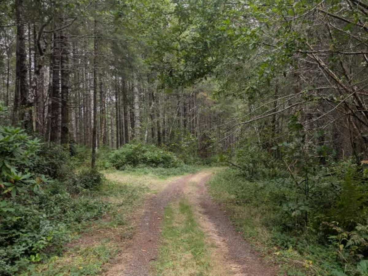
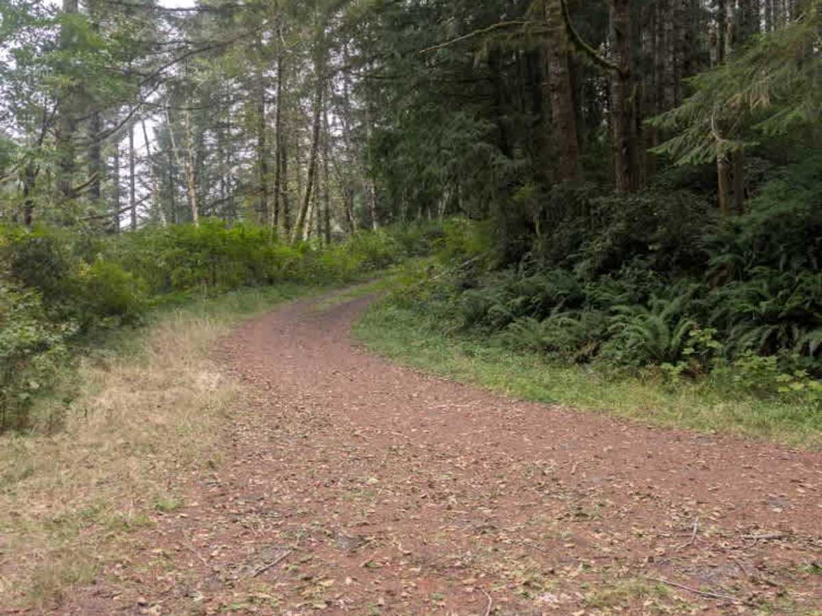
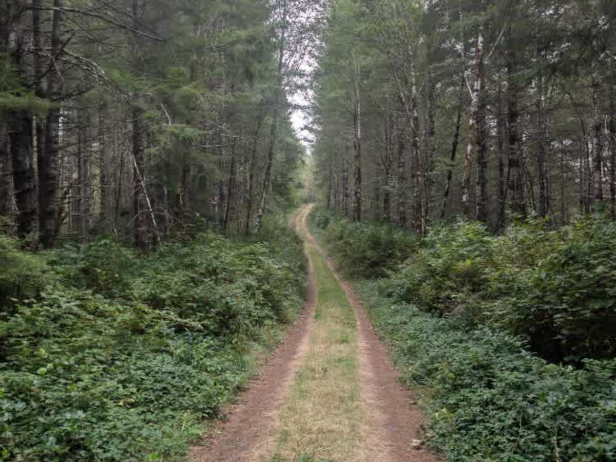
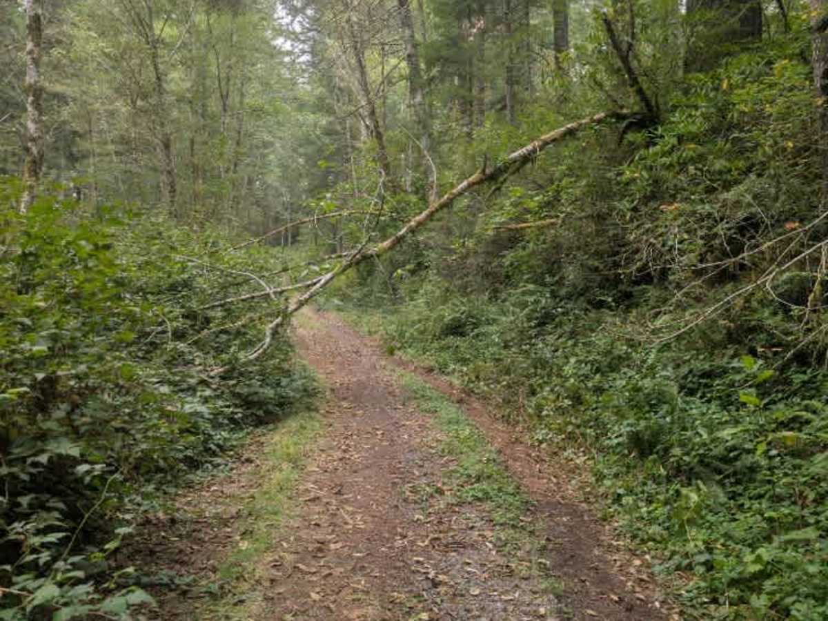
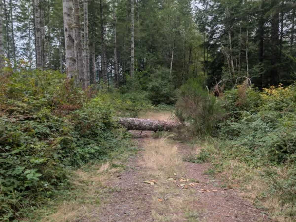
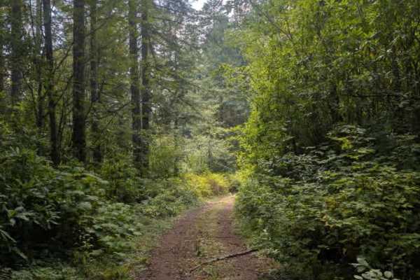
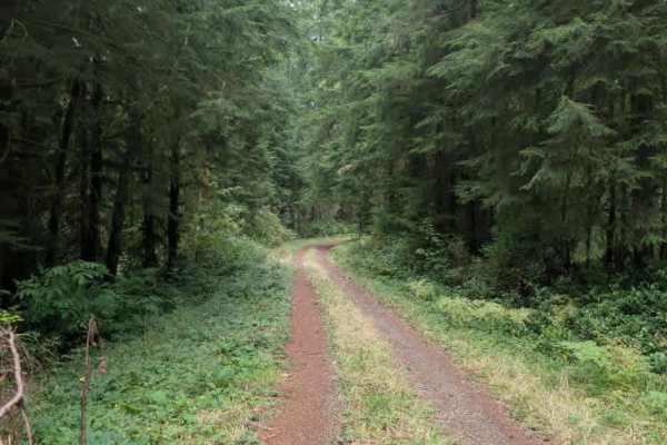
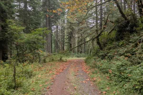
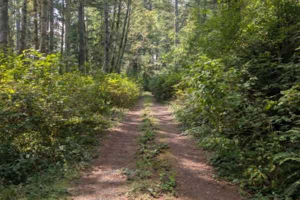
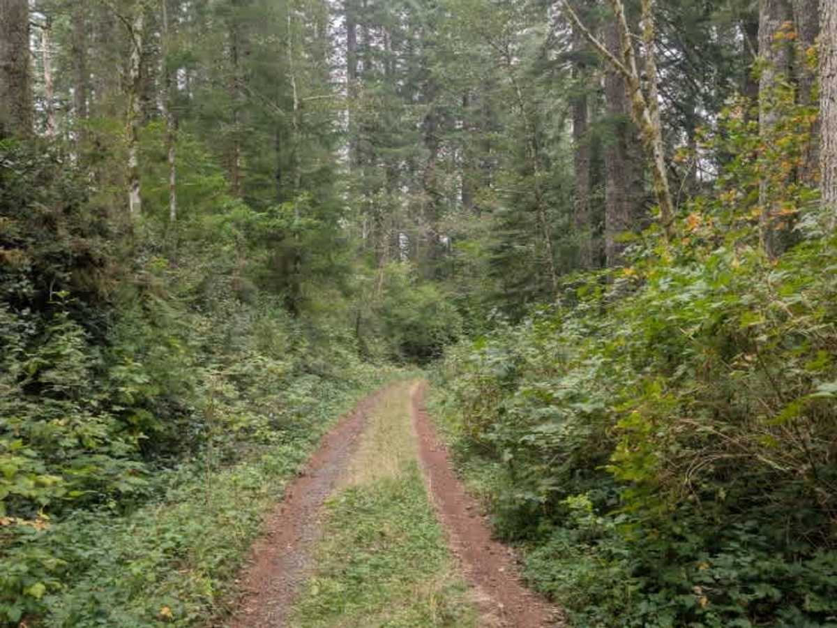
This unmaintained trail is a fairly well-used route that winds down the side of the mountain. The road surface remains fairly consistent gravel throughout, but overgrowth is the main concern. Shrubbery encroaches slightly into the travel path, and a large tree hangs over the road farther along. The overhanging tree leaves enough clearance for narrower 4x4s, such as a Jeep Grand Cherokee, to pass through, but larger vehicles cannot get beyond this point. The trail continues to a turnaround area where a vehicle was parked at the time of mapping, and a large log blocked the roadway during the visit, so please keep this in mind. ATVs, UTVs, Side-by-Sides, and Dirt Bikes must always have a valid Oregon ATV Operating Permit sticker.

Photos of FS 5841759

Difficulty

The gravel surface is generally easy, but overgrowth limits access farther along.

Technical Rating

2

FS 5841759 Trail can be accessed by the following ride types:

  • Single Track
  • 50 Inch
  • 60 Inch
  • High Clearance
  • Full Width

FS 5841759 Map

The onX Offroad Difference

onX Offroad combines trail photos, descriptions, difficulty ratings, width restrictions, seasonality, and more in a user-friendly interface. Available on all devices, with offline access and full compatibility with CarPlay and Android Auto. Discover what you're missing today!

Open Trail Map