Trail Overview
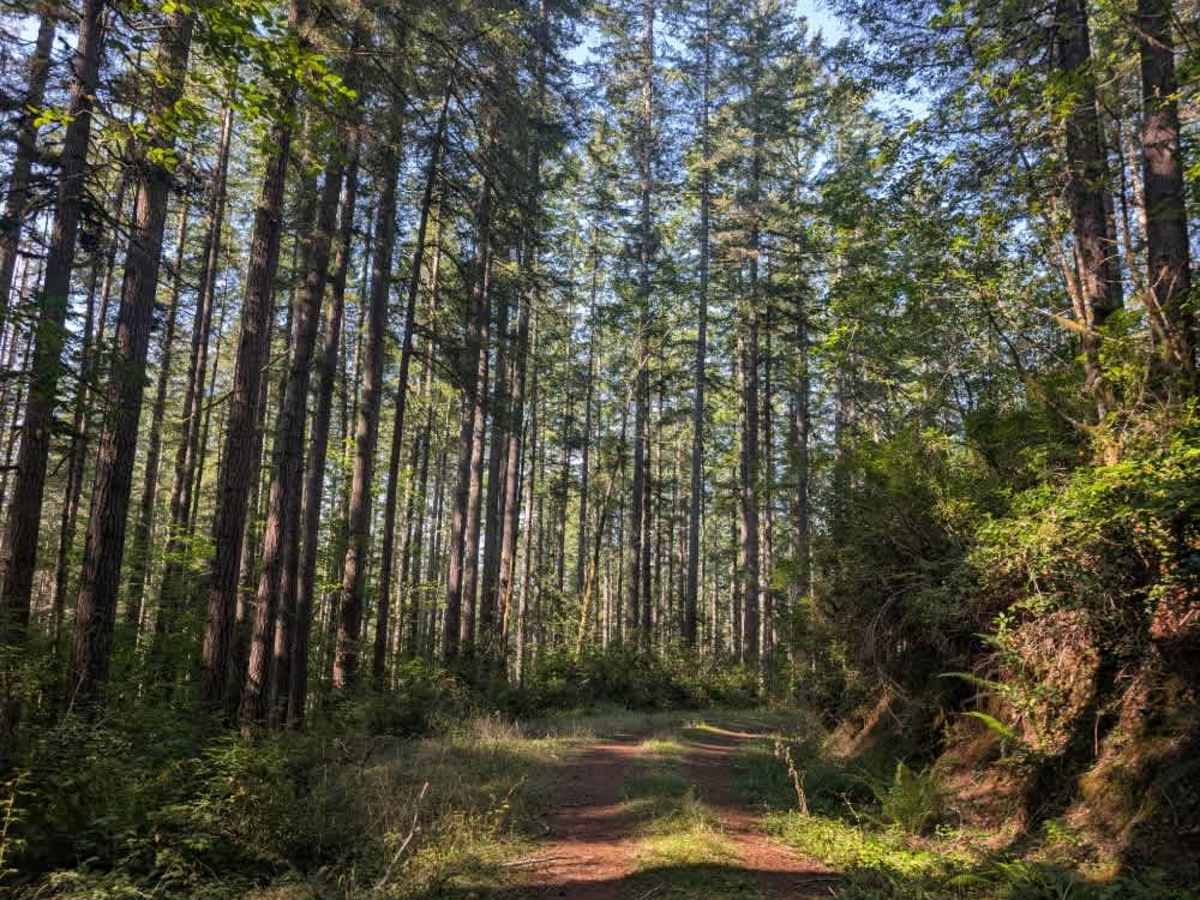
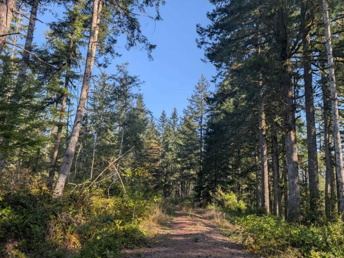
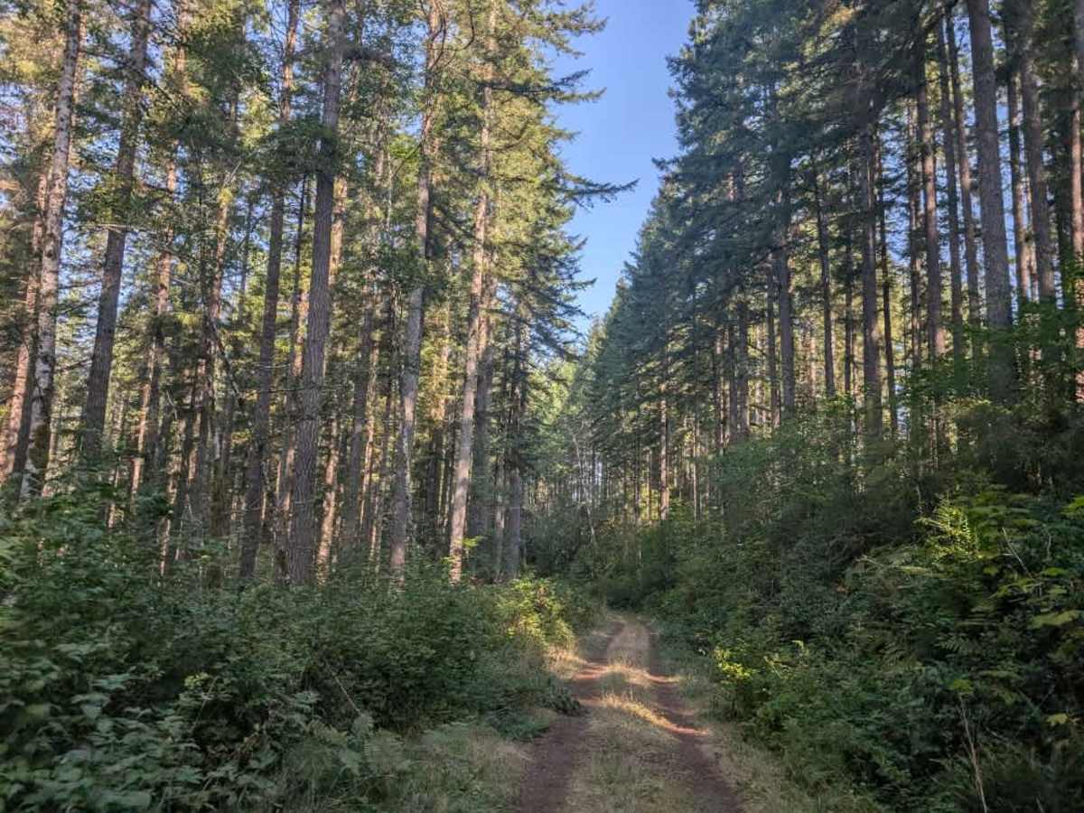
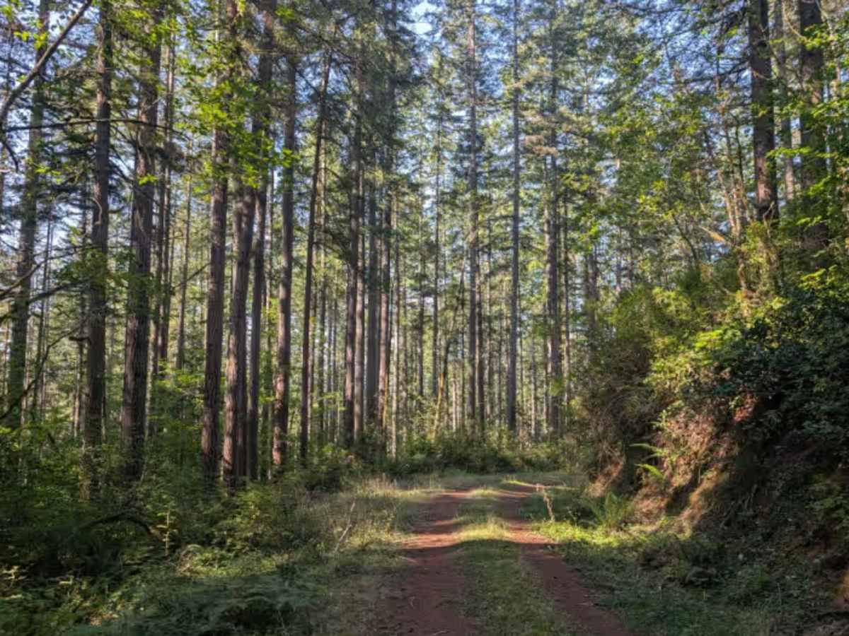
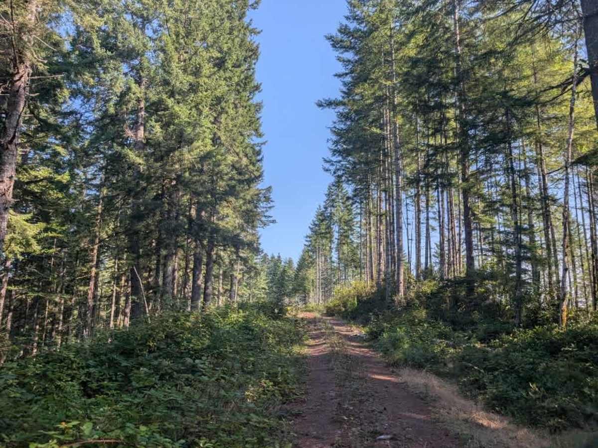
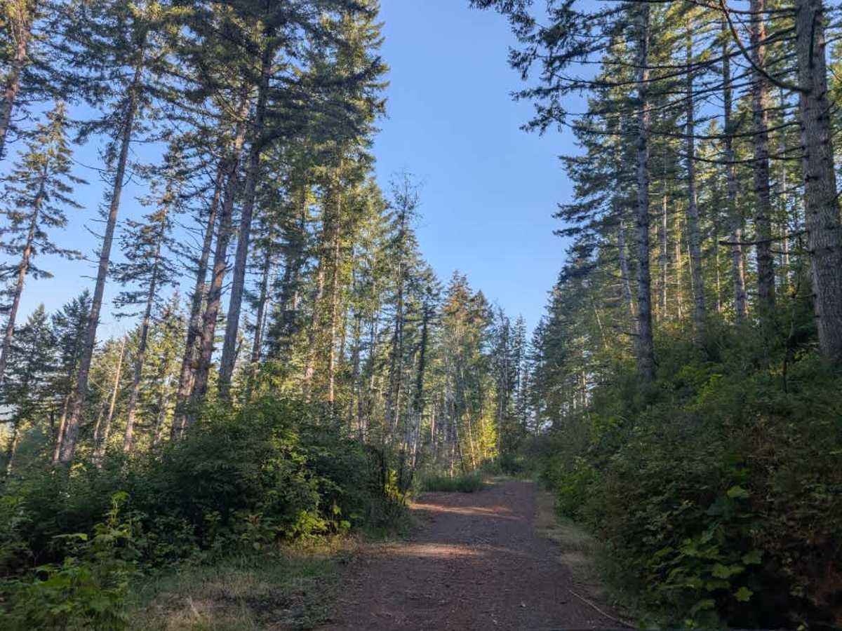
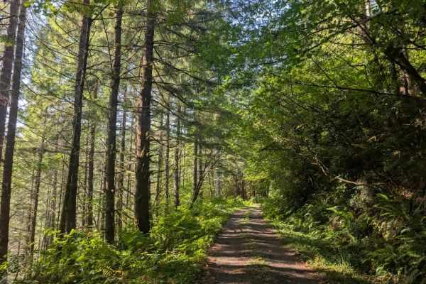
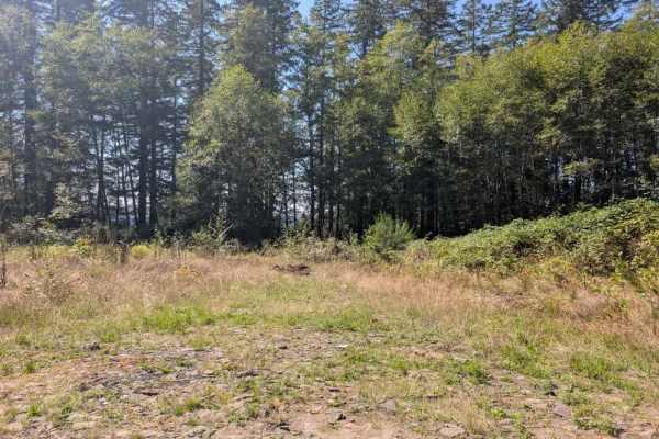
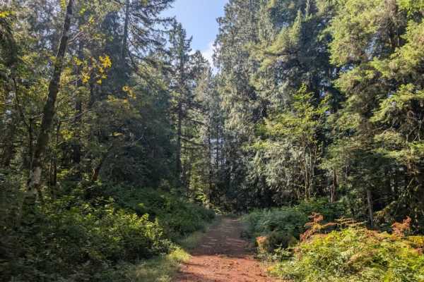
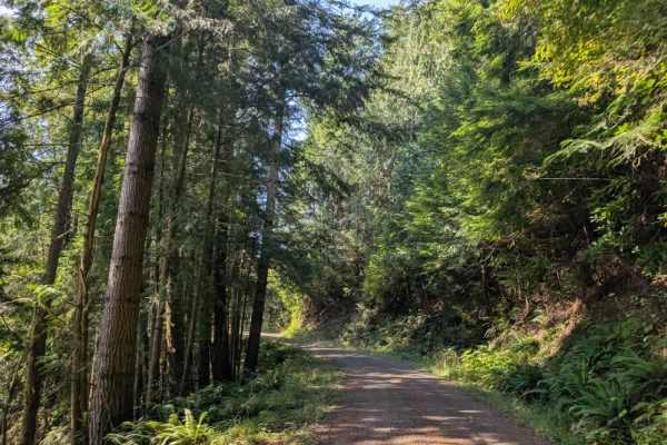
This gravel road is generally passable, although it is a little rough around the edges and has some overhanging trees and soft undergrowth along the route. Most of the road has been cleared, but numerous mulberry bushes grow alongside the trail. Their sharp branches can cause significant pinstriping, so use caution in areas with heavy vegetation. The route has several large, deep dips that act like natural speed bumps, so slow down and approach them carefully. These depressions can be quite pronounced and should not be taken at speed. The trail itself is not particularly difficult, but conditions could become more challenging during the rainy season, so use extra caution if traveling when the road is wet. The road does not continue beyond its endpoint and finishes in a large open area suitable for dispersed camping; plenty of room is available to set up camp, along with a large amount of gathered wood in the area. ATVs, UTVs, Side-by-Sides, and Dirt Bikes must always have a valid Oregon ATV Operating Permit sticker.
Difficulty
While the route is generally manageable, take your time around the vegetation, overhanging trees, and deep dips.