Trail Overview
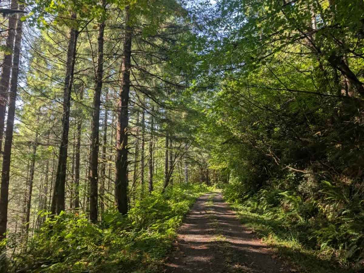
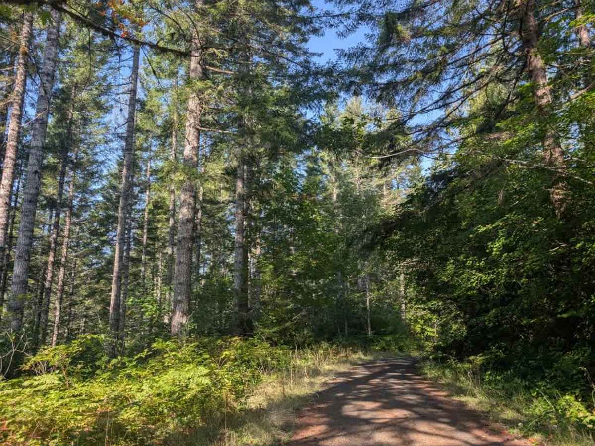
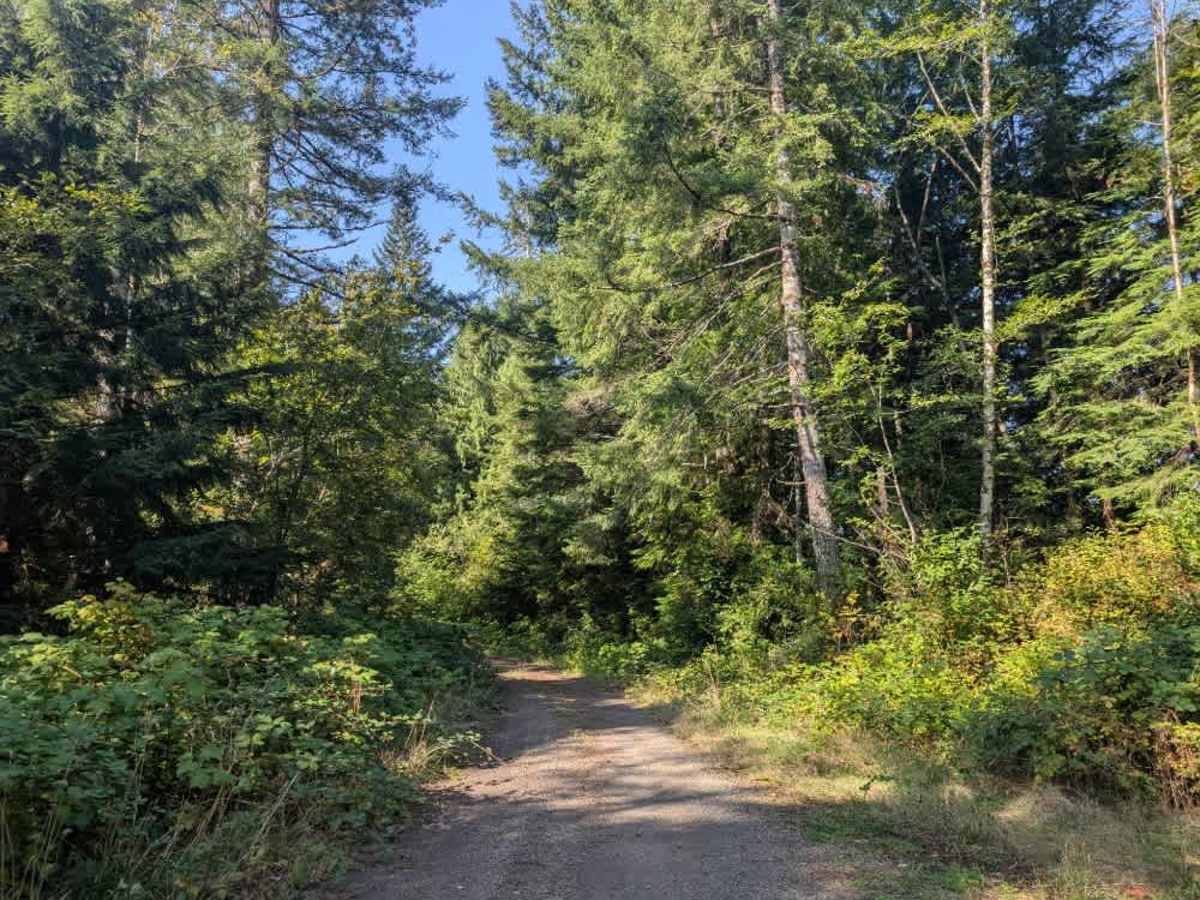
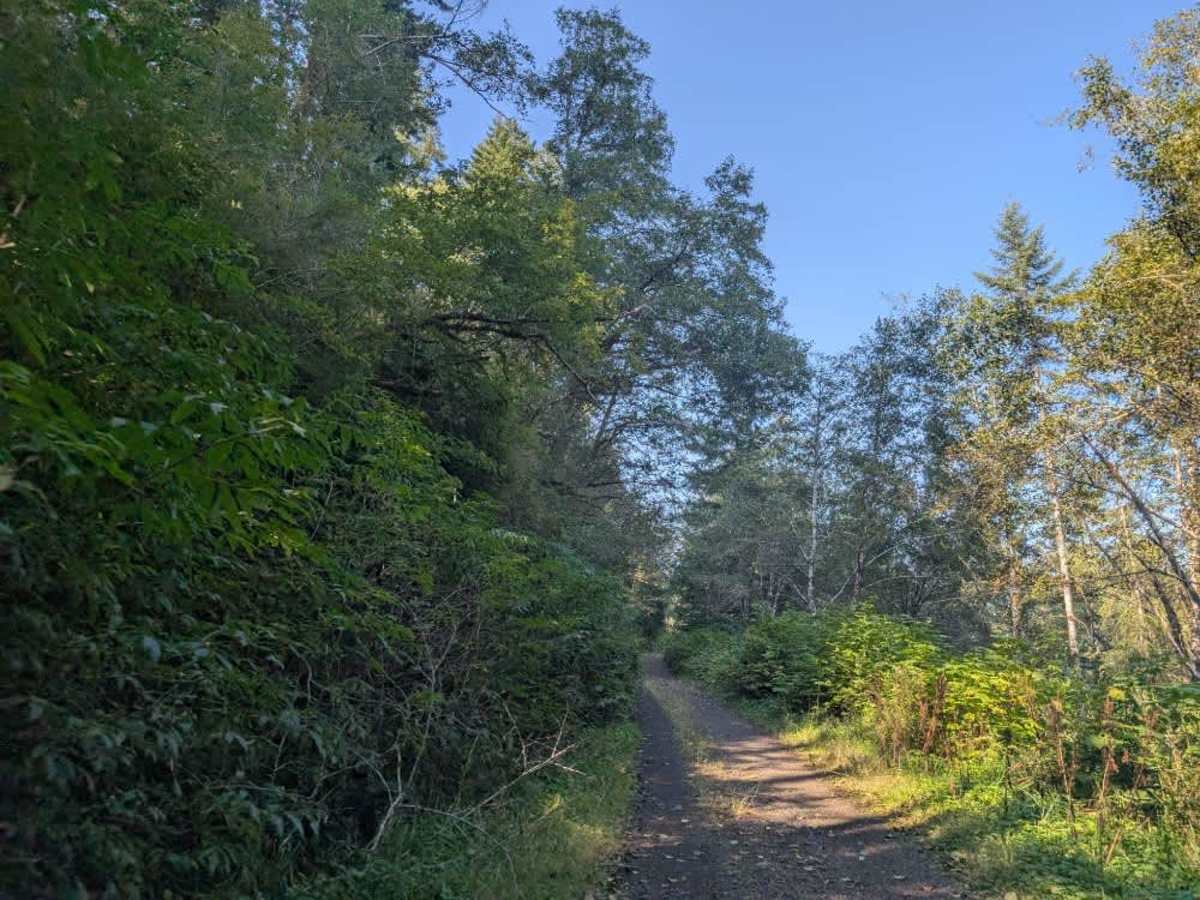
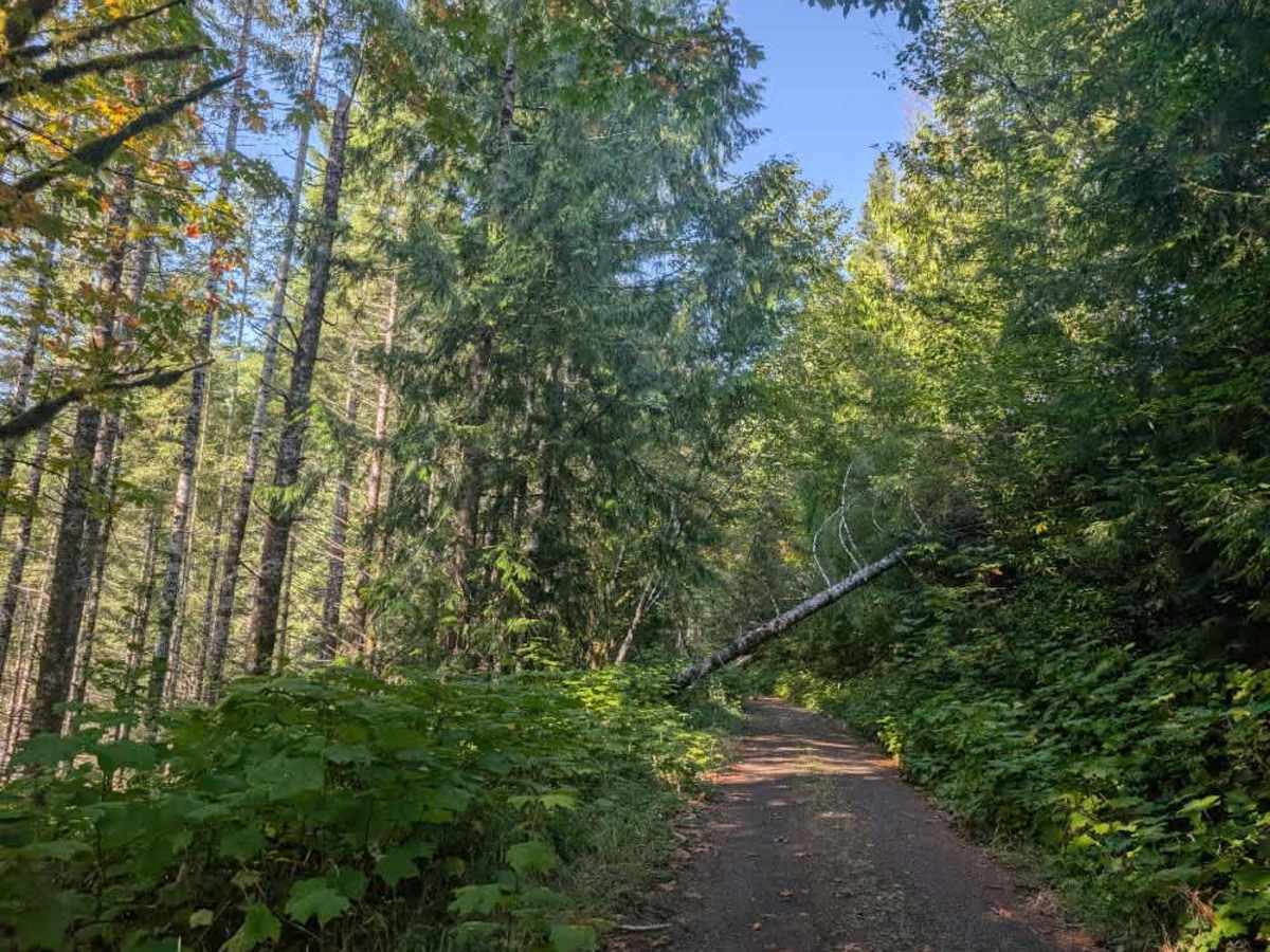
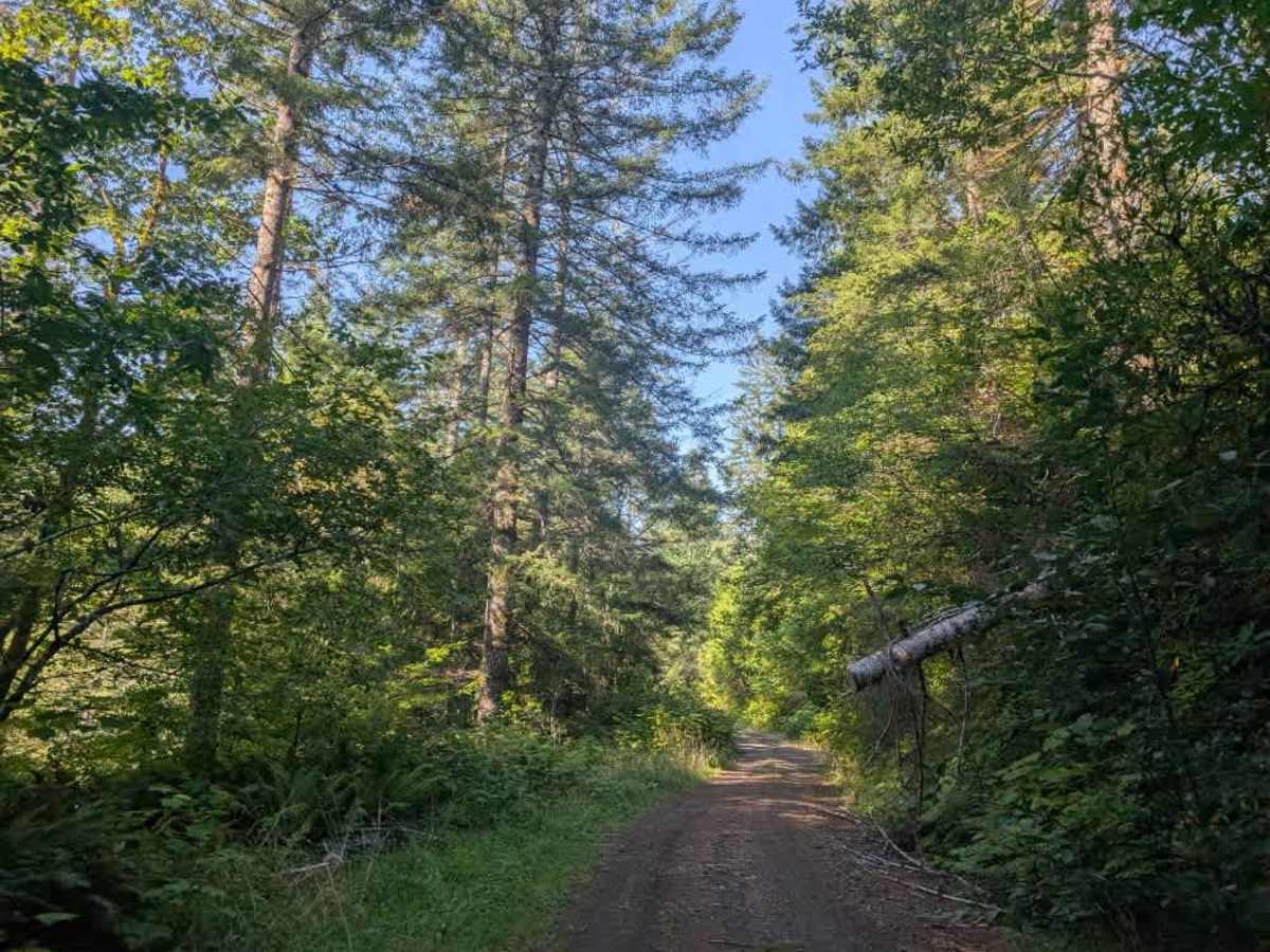
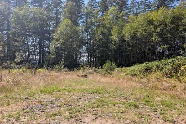
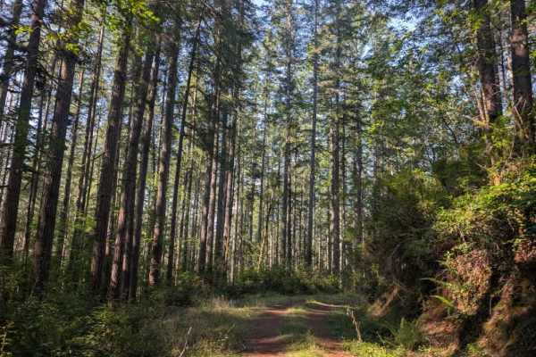
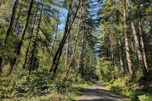
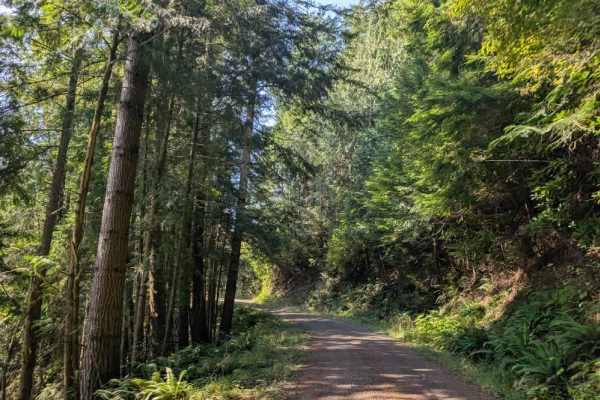
This beautiful trail is well maintained, though it doesn’t appear to see regular use. Several trees have been trimmed back, but branches and trees still hang into the road in places, so use caution around corners and watch for overhanging vegetation. The route winds back and forth along the mountain ridge, eventually descending before gradually climbing again. Since the trail follows a ridge, there are drop-offs on both the left and right sides of the road. Surrounding vegetation largely hides them, so they may not be immediately noticeable while driving. Take care, particularly around curves and along narrower sections. A couple of areas along the route allow dispersed camping. Several spur trails branch off the main route, but many have been closed or appear unused for some time. Use caution if exploring these side routes, as their current condition may be less reliable than the main trail. ATVs, UTVs, Side-by-Sides, and Dirt Bikes must always have a valid Oregon ATV Operating Permit sticker.