FS 5070

Total Miles4
Technical Rating
1Easy
Best TimeSpring, Summer, Fall
Trail TypeFull-Width Road
Accessible By
Open Trail Map

Trail Overview

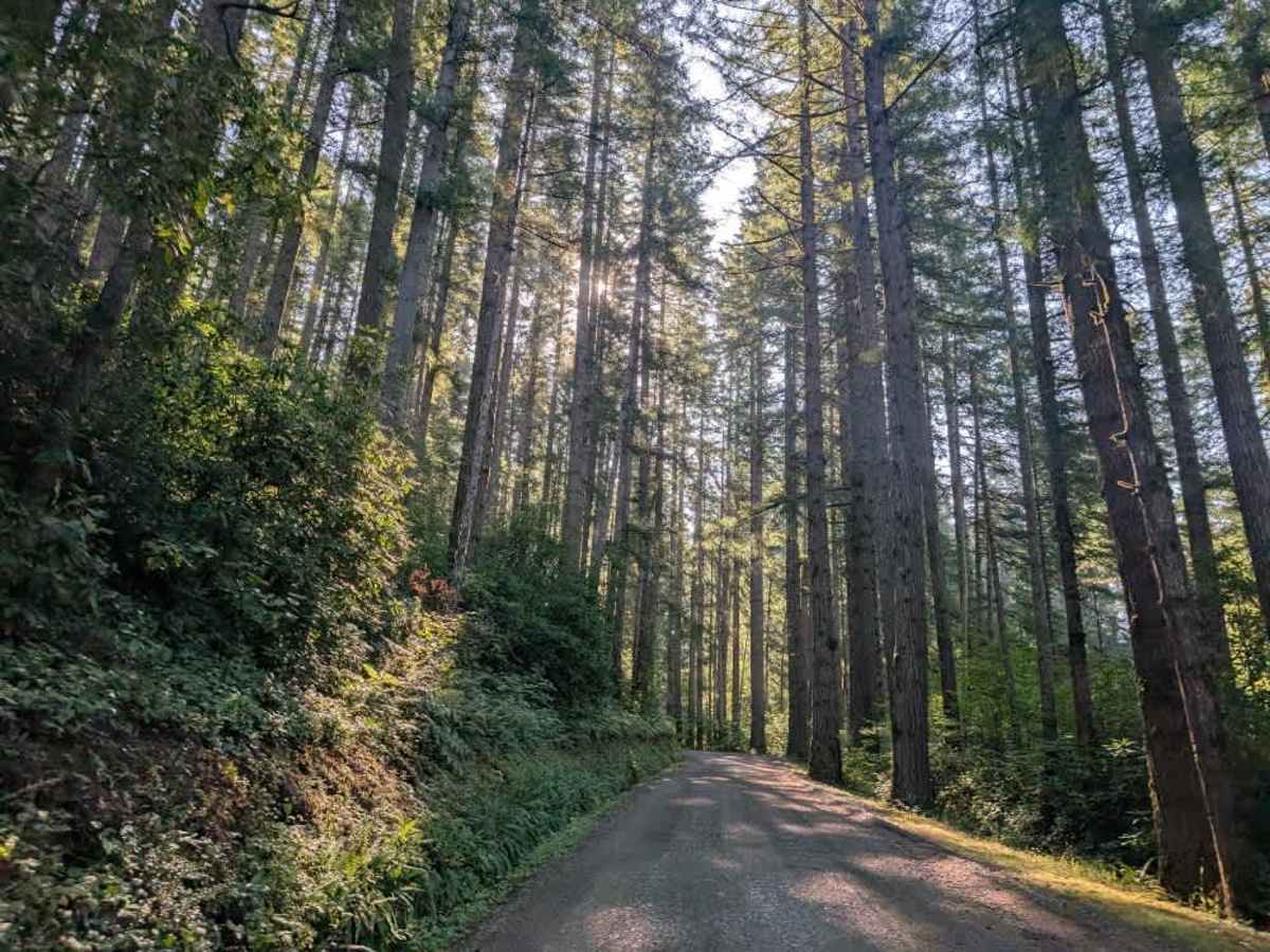
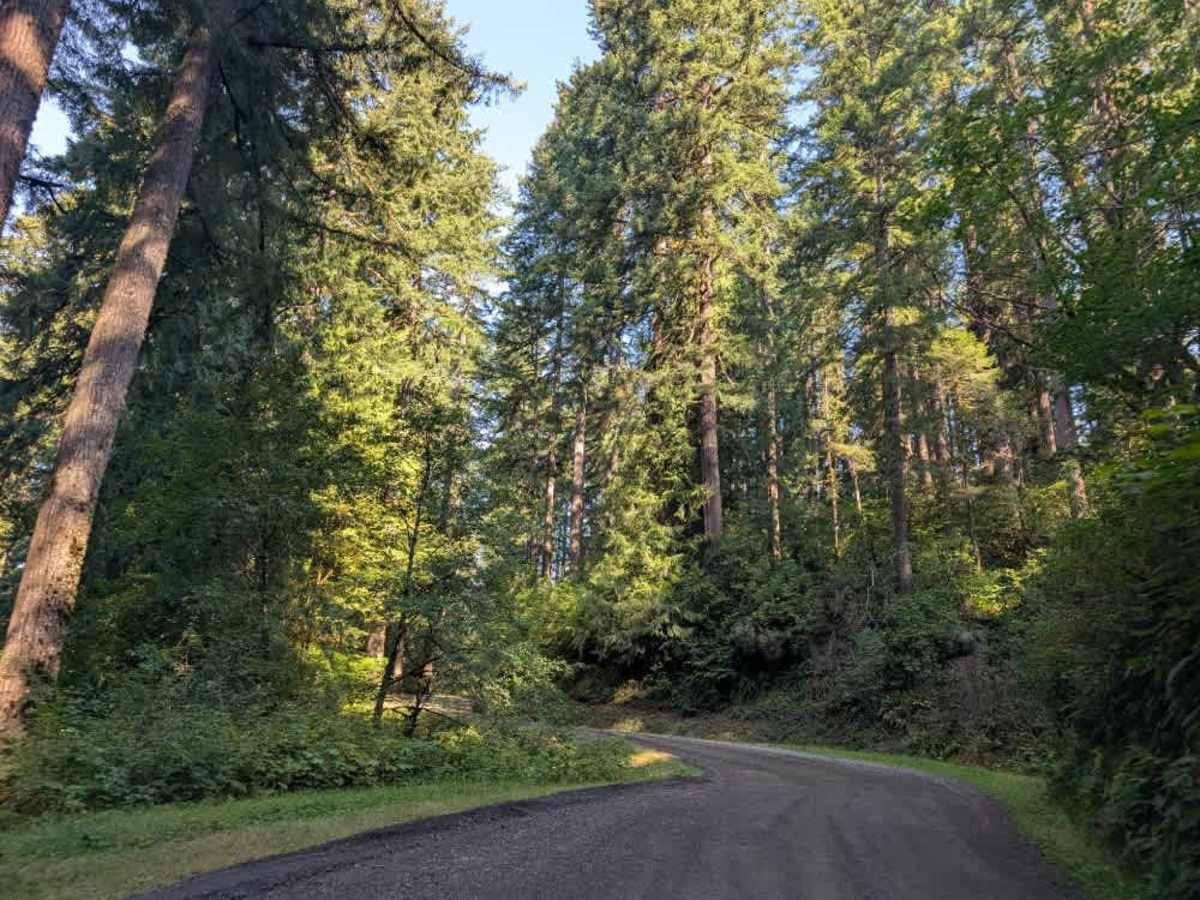
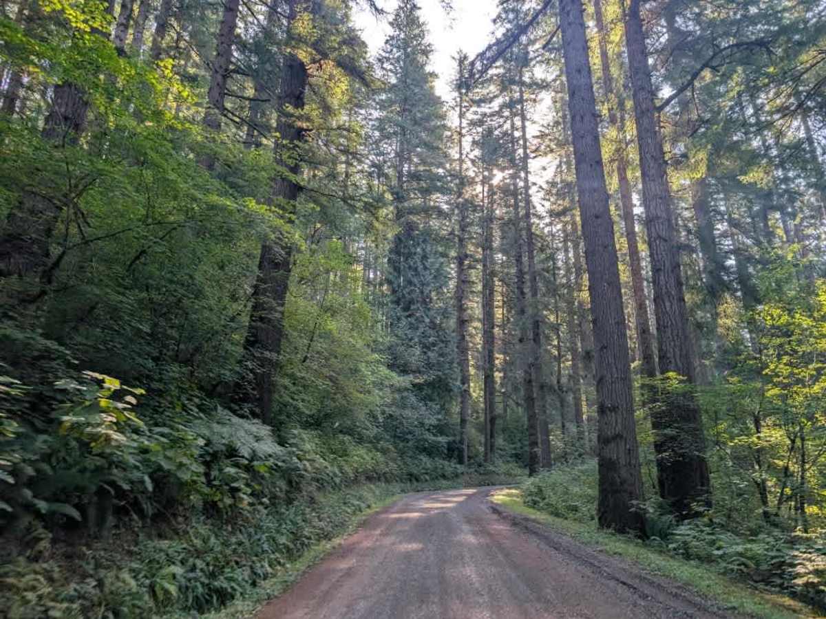
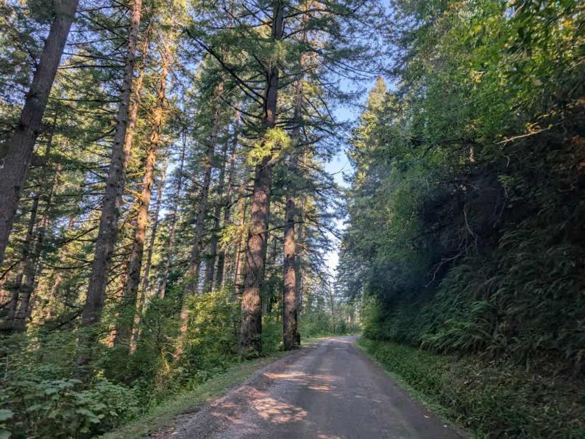
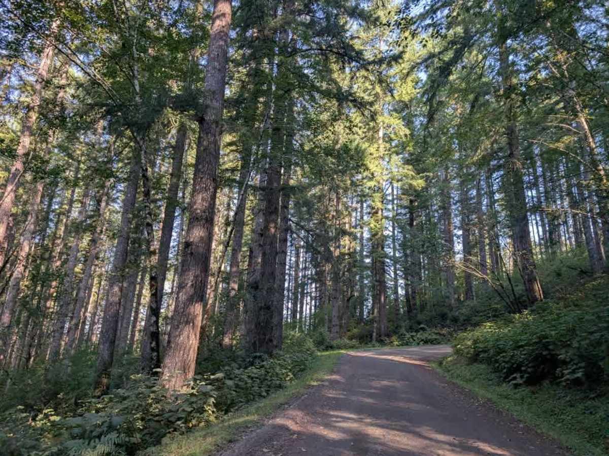
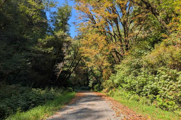
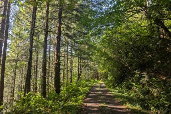
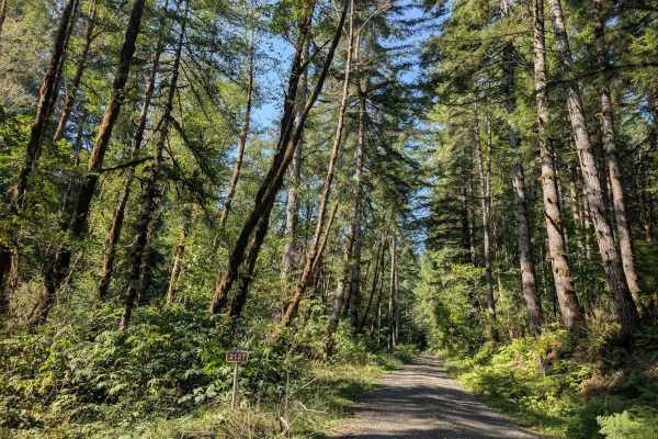
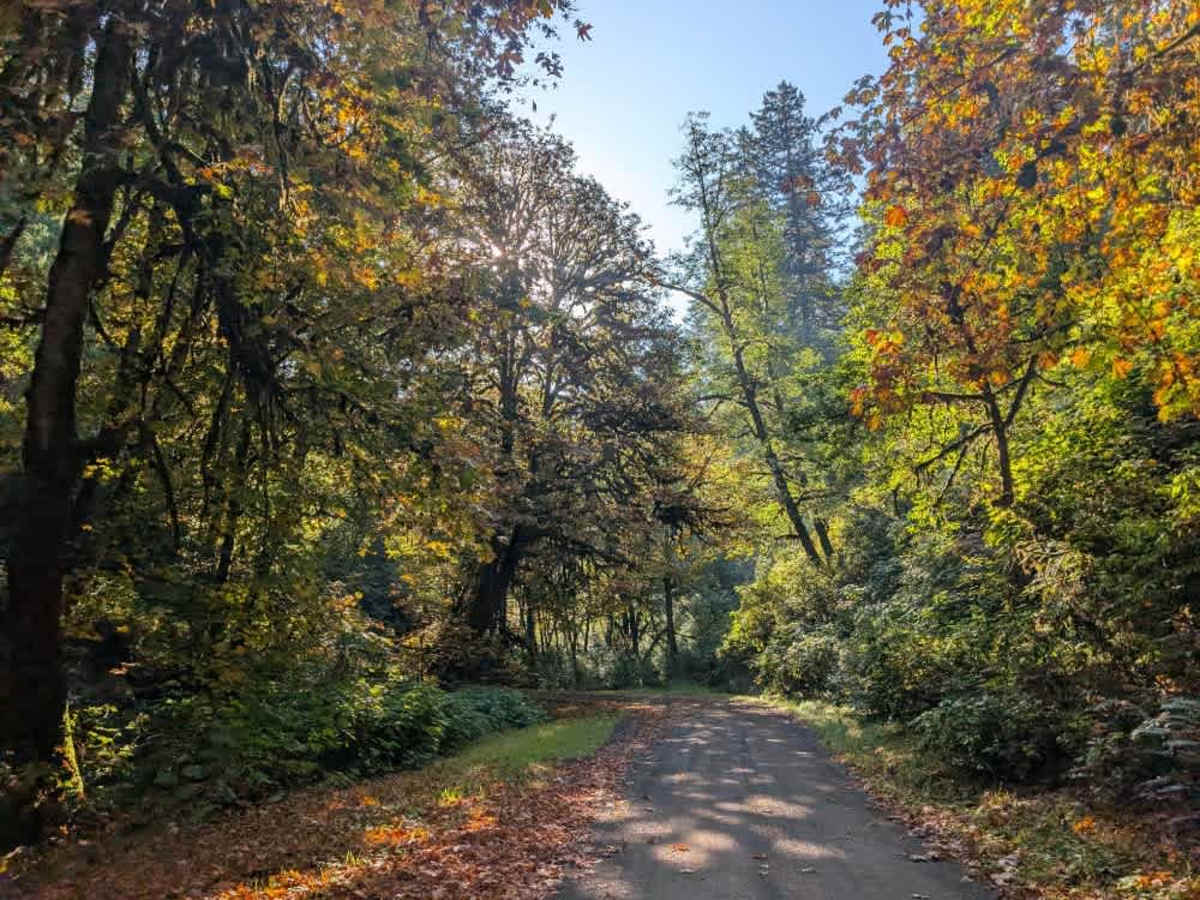
This beautiful trail begins from a paved road and climbs steadily into the mountains along a well-maintained gravel surface. The route features numerous switchbacks, hidden curves, and constant elevation gain, so use caution and watch carefully for oncoming traffic. A few pullouts along the way let vehicles move over to allow traffic to pass. When approaching from the southern side near Highway 36, the route crosses a railway track and passes through a residential area. It may initially feel as though you are heading in the wrong direction, but a clear sign for Pioneer Trail indicates that you are on the correct route, with the trail approximately two miles ahead. From there, the road continues climbing steadily toward the top of the mountain before eventually descending again. Corrugation is present along portions of the road, particularly around the corners, so slow down and take care when navigating the switchbacks. The surrounding forest is filled with beautiful evergreen vegetation, and the route offers a scenic mountain drive. ATVs, UTVs, Side-by-Sides, and Dirt Bikes must always have a valid Oregon ATV Operating Permit sticker.

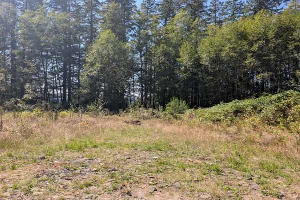
Photos of FS 5070

Difficulty

The well-maintained gravel surface is manageable, though steep grades and corrugation require caution.

Technical Rating

1

FS 5070 Trail can be accessed by the following ride types:

  • High Clearance
  • Full Width

FS 5070 Map

The onX Offroad Difference

onX Offroad combines trail photos, descriptions, difficulty ratings, width restrictions, seasonality, and more in a user-friendly interface. Available on all devices, with offline access and full compatibility with CarPlay and Android Auto. Discover what you're missing today!

Open Trail Map